The best running trails around Saint-Pierre-De-Chartreuse
4.3
(12)
1,786
runners
59
runs
Jogging around Saint-Pierre-De-Chartreuse offers a diverse landscape within the Chartreuse Regional Natural Park. The region features a mix of mountains, dense forests, limestone cliffs, and alpine meadows, providing varied terrain for running. Routes often include ascents and descents, with significant elevation changes characteristic of the Chartreuse Massif. This area is known for its dedicated trail running infrastructure, catering to different fitness levels.
Best jogging routes around Saint-Pierre-De-Chartreuse
- The most popular jogging route is Raidlight trail festival, a 27.8 miles…
Last updated: May 26, 2026
137
runners
44.8km
07:45
2,340m
2,360m
Hard run. Very good fitness required. Sure-footedness, sturdy shoes and alpine experience required.
4.0
(1)
128
runners
20.7km
03:46
1,220m
1,220m
Hard run. Very good fitness required. Sure-footedness, sturdy shoes and alpine experience required.

Sign up for free
4.5
(2)
66
runners
18.0km
03:36
1,450m
1,440m
Hard run. Very good fitness required. Sure-footedness, sturdy shoes and alpine experience required.
38
runners
12.6km
02:04
590m
590m
Hard run. Very good fitness required. Sure-footedness, sturdy shoes and alpine experience required.
15
runners
24.3km
04:47
1,770m
1,790m
Hard run. Very good fitness required. Sure-footedness, sturdy shoes and alpine experience required.
Get access to more routes and recommendations from other explorers.
Sign up for free
Already have an account?
Our route recommendations are based on thousands of hikes, rides, and runs completed by other people on komoot.
Start today with a free account
Your next adventure awaits.
Login or Signup
Popular around Saint-Pierre-De-Chartreuse
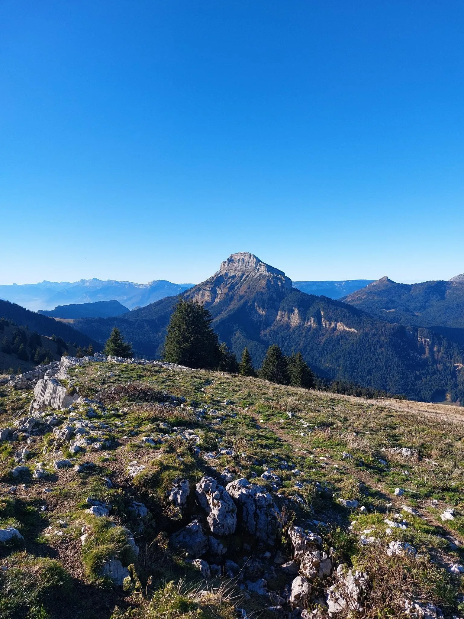
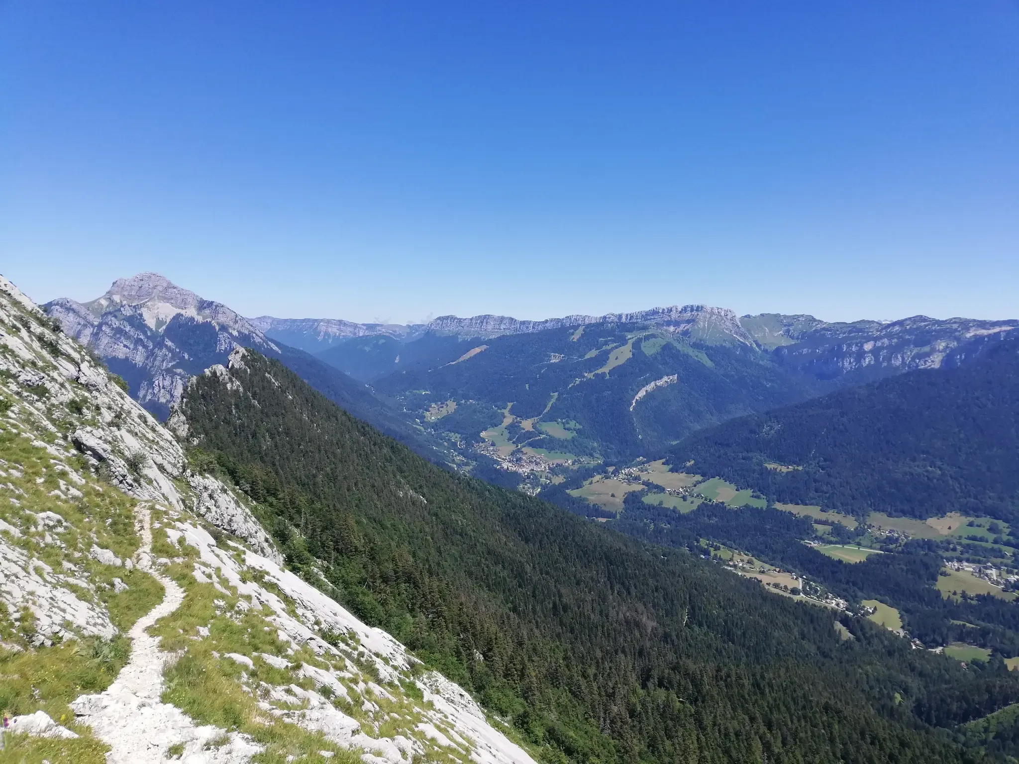
Summits, plateaus and panoramas — 20 trail outings in Chartreuse
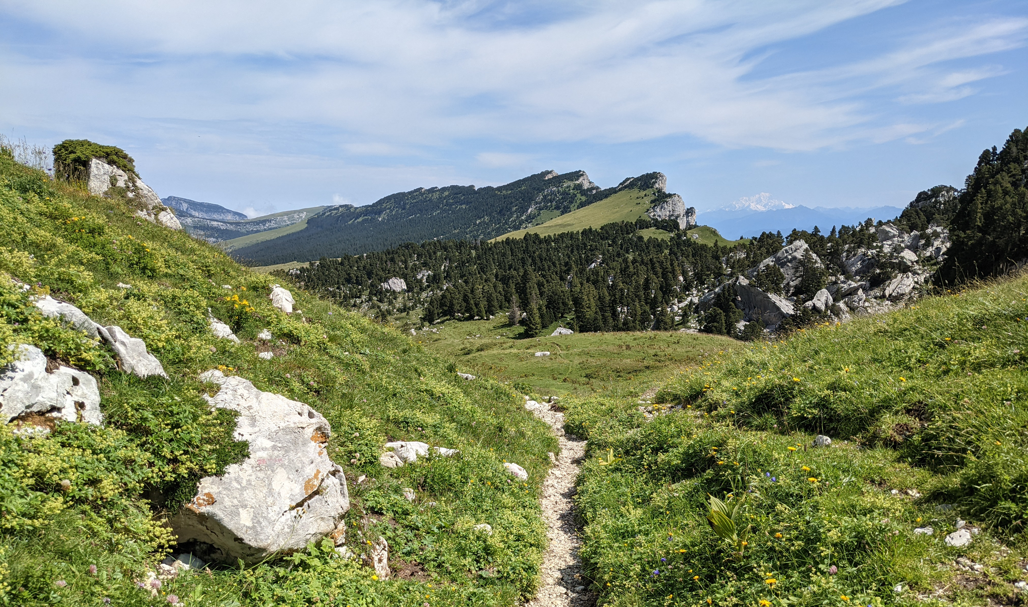
Crossing the Chartreuse – History in the making
At the gates of Chartreuse in France – Grenoble to Voiron
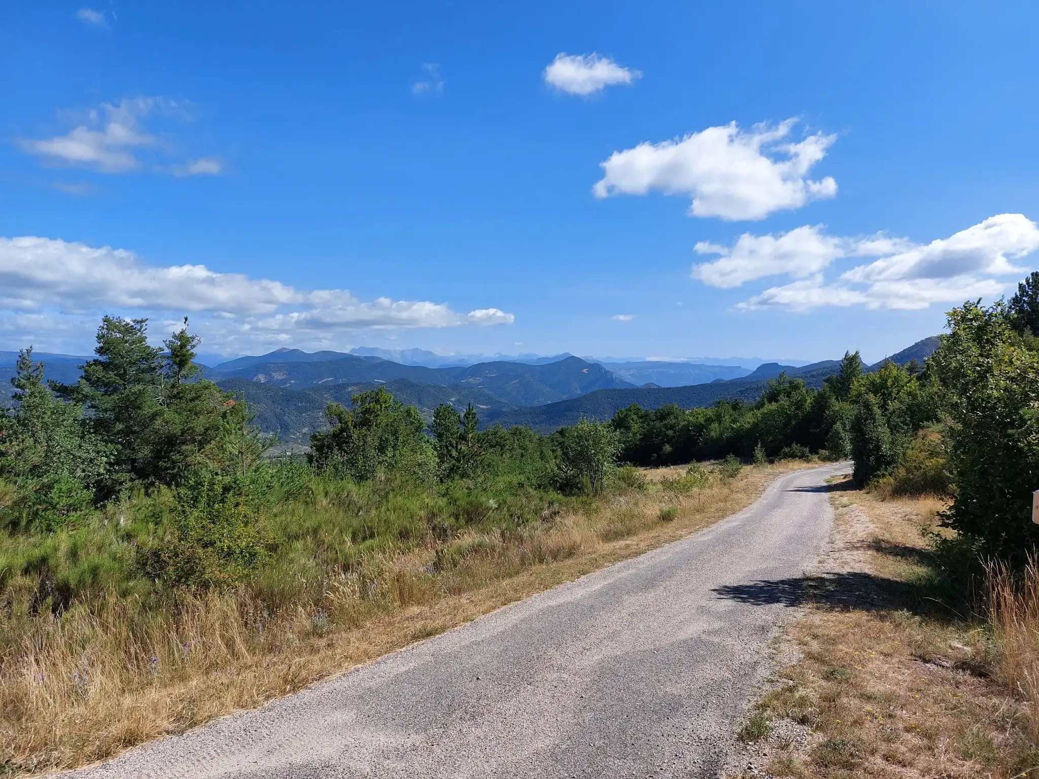
P'tites Routes du Soleil – crossing the pre-Alps from Lake Geneva to Nice
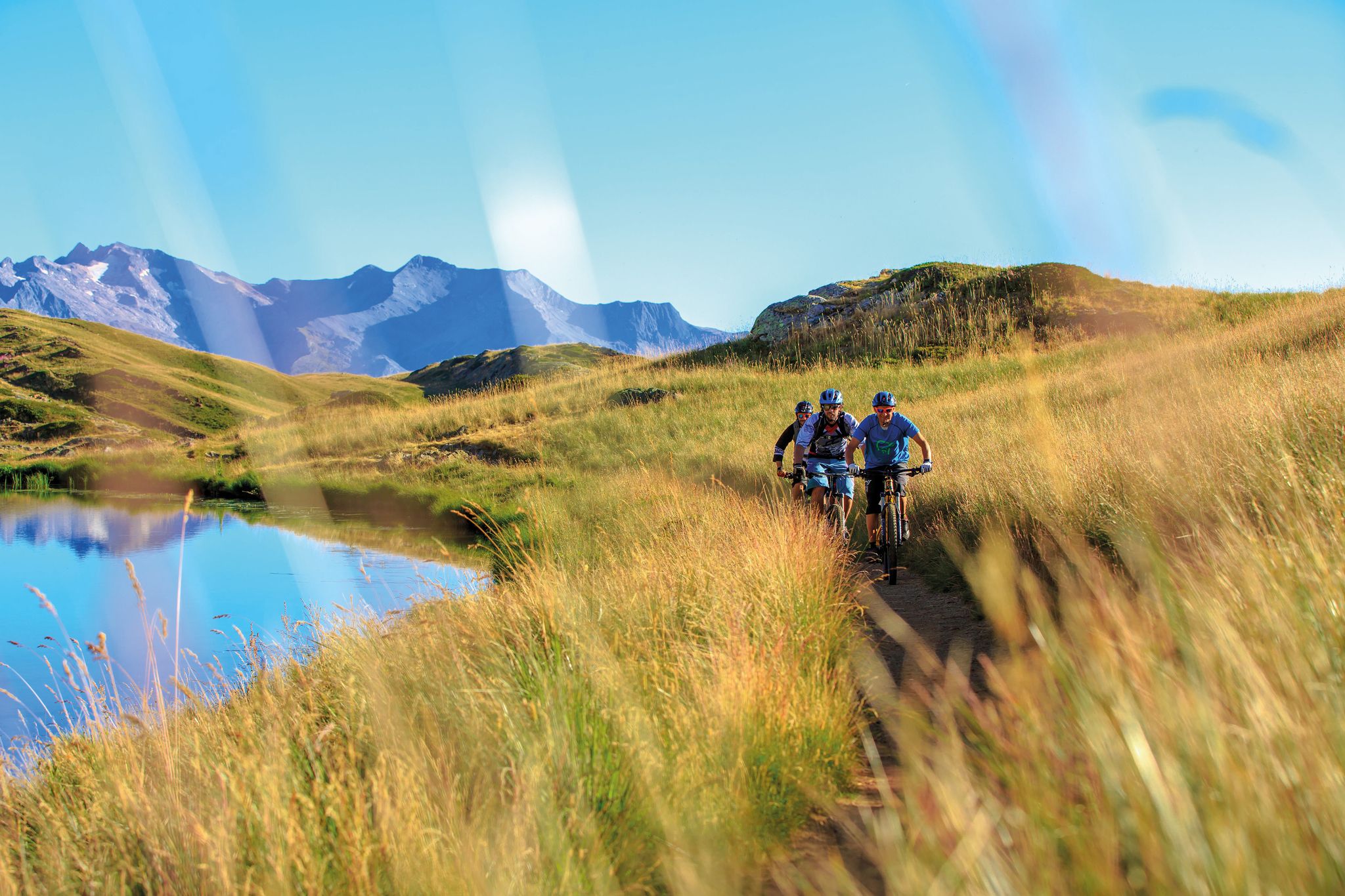
Great e-bike routes in Isère, France
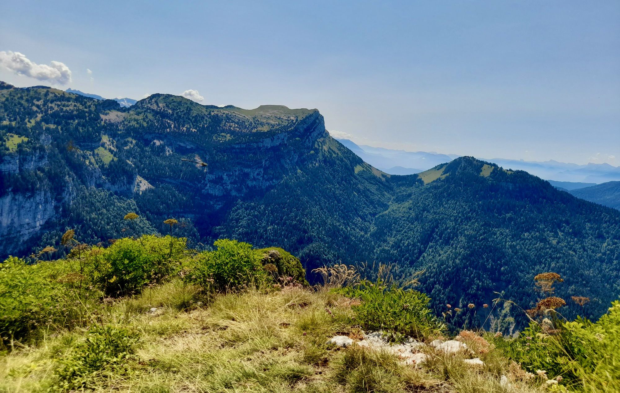
From Chambéry to Grenoble — the Trans-Chartreuse in France
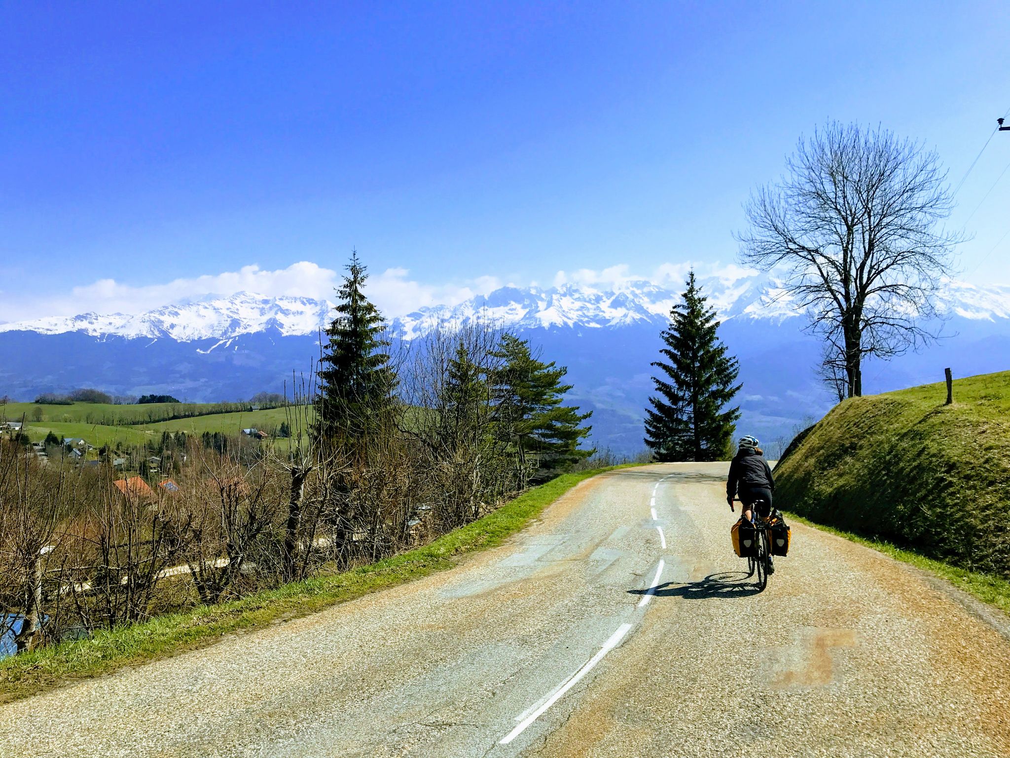
Touring France’s Chartreuse region — mixing sights and cuisine
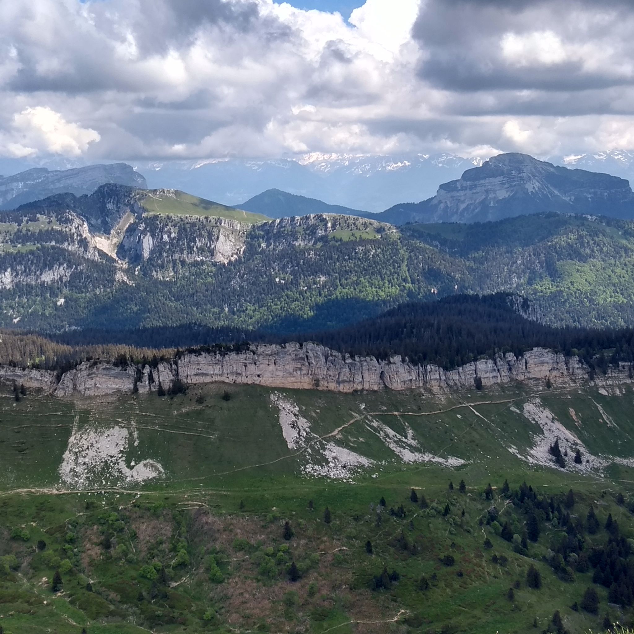
Hiking around Saint-Pierre-De-Chartreuse
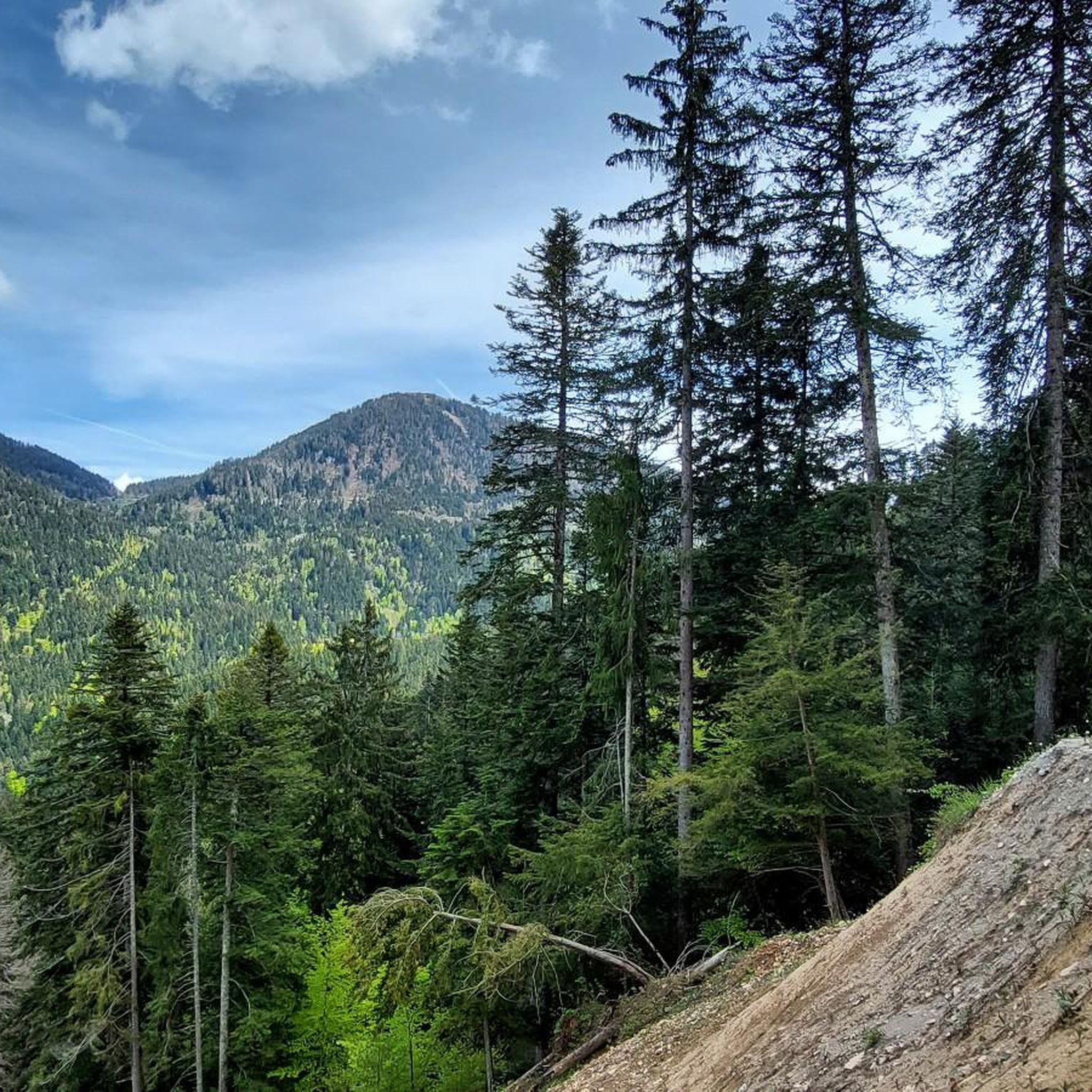
Road Cycling Routes around Saint-Pierre-De-Chartreuse
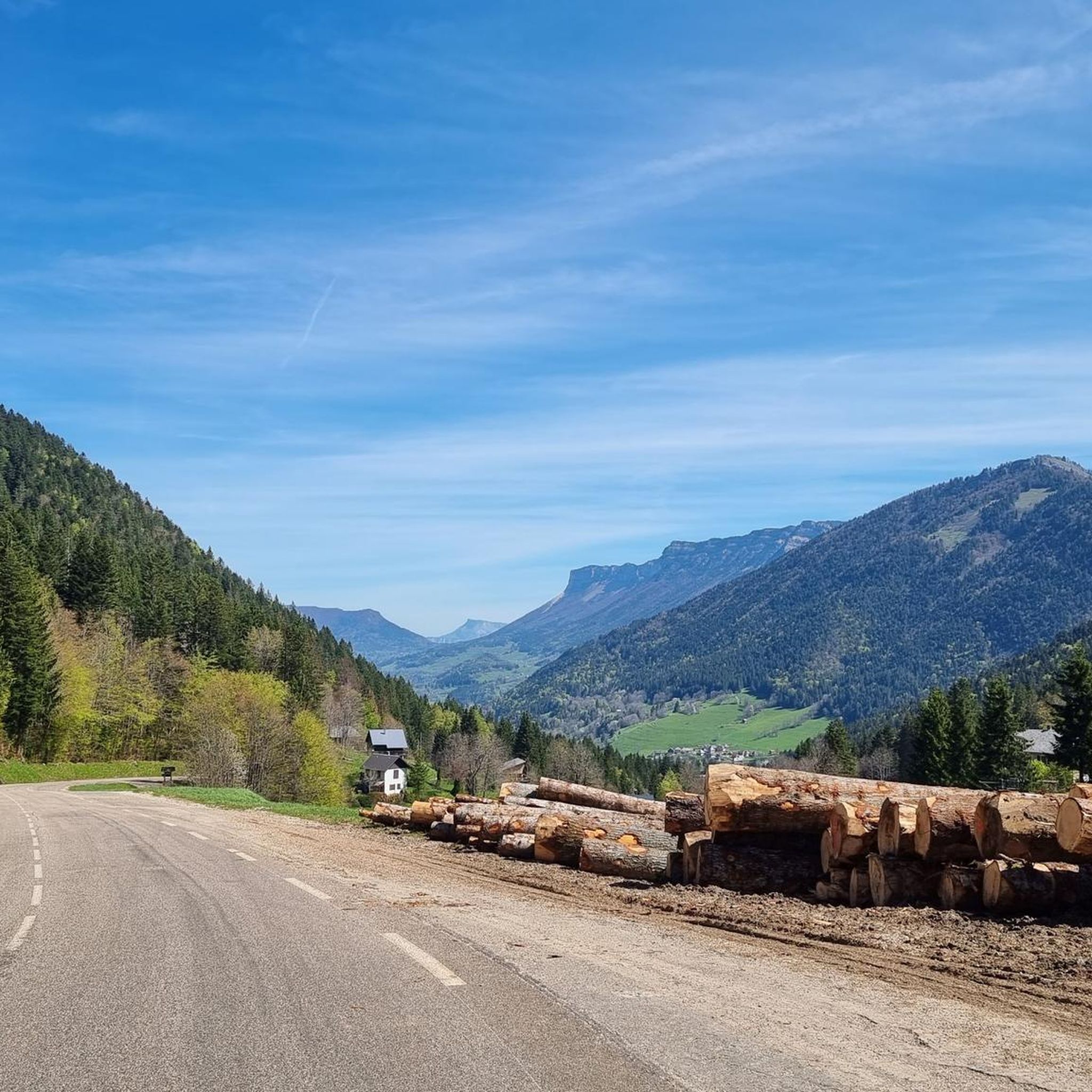
Cycling around Saint-Pierre-De-Chartreuse
Other adventures around Saint-Pierre-De-Chartreuse


Tips from the Community

The approach from the south is very nice, the descent to the north via the forest road is not allowed, but with great caution and pushing in tunnels possible
0
0

The climb to the charming Som from the Col de Porte is always a treat. There are some very steep sections, but the view at the top is worth it. Be careful on the descent: uneven road, tight bends, cars.
0
0

A stunning summit with views of Mont Blanc. The two climbs from the Col des Ayes are relatively steep, but steel cables are installed at the more dangerous sections. The climb north via the Trou du Glaz is a bit longer and a bit easier. The climb east is a bit steeper and more exposed. The view is good, though.
0
0

Magnificent and relatively easy pass, with basic fitness. Offers a magnificent view of Mont Blanc. Be careful though, the Chaos and the Col are currently completely covered in snow. Being in a group, I did not attempt the ascent of the Col which, without equipment, can be particularly slippery and dangerous. Possibility of going back down via Prayet towards Saint Pierre en Chartreuse. Tested in November, however, no problems observed, very accessible.
0
0

Highest summer cheese dairy, perched in the middle of the Charmant Som mountain pasture. Well, okay, it's not really the season...
0
0

Superb pass located at an altitude of 1,538 meters, at the foot of the Dent de Crolles and Pravouta.
1
0
Nestled between the summits of the Scia and the southern Lance of Malissard, this small green pass is located just above the forest area where the terrain clears out as you gain altitude.
1
0
Culminating at 2,062 meters above sea level, the Dent de Crolles is the second peak of Chartreuse. Accessible, it offers a vast panorama of the south of Chartreuse, the Belledonne massif and the Grésivaudan valley.
1
0
Frequently Asked Questions
How many running routes are available in Saint-Pierre-De-Chartreuse?
Saint-Pierre-De-Chartreuse offers a wide selection of running routes, with over 50 trails recorded on komoot. These routes cater to various skill levels, from easy discovery loops to challenging mountain runs.
What kind of terrain can I expect on the running routes in Saint-Pierre-De-Chartreuse?
The terrain in Saint-Pierre-De-Chartreuse is highly varied, reflecting its location within the Chartreuse Regional Natural Park. You can expect a mix of dense forests, limestone cliffs, alpine meadows, and mountainous paths with significant elevation changes. Routes often follow shaded forest paths along rivers like the Couzon, or ascend to open alpine pastures.
Are there running routes suitable for beginners in Saint-Pierre-De-Chartreuse?
Yes, Saint-Pierre-De-Chartreuse caters to all levels, including beginners. The region is home to Europe's first 'Station de Trail', which offers marked routes classified by difficulty. For instance, the 'Discovery loop around Saint-Pierre' is a green course, approximately 4.3 km long with a 160m elevation gain, ideal for those new to trail running.
Can I find running routes with scenic viewpoints in the Chartreuse region?
Absolutely. The Chartreuse mountains are renowned for their breathtaking scenery. Many running routes lead to panoramic viewpoints, such as those from the iconic Charmant Som peak, or the Belvédère des Sangles which offers stunning views over the Guiers Mort gorges. The highest peak, Chamechaude, also provides exceptional regional vistas.
Are there any jogging trails that pass by waterfalls in Saint-Pierre-De-Chartreuse?
Yes, the region boasts beautiful natural features, including waterfalls. The Saint-Même Cirque Waterfalls are a must-see natural site, featuring four waterfalls. While not directly on a specific jogging route listed in the guide, many trails in the area provide access to such natural wonders, making for a refreshing stop.
Are the running trails in Saint-Pierre-De-Chartreuse dog-friendly?
Many trails within the Chartreuse Regional Natural Park are dog-friendly, provided dogs are kept on a leash to protect local wildlife and livestock. It's always advisable to check specific trail regulations or local signage, especially within protected areas like the Hauts de Chartreuse Nature Reserve.
Are there family-friendly jogging options in Saint-Pierre-De-Chartreuse?
Yes, the 'Station de Trail' infrastructure includes routes suitable for families. The 'Discovery loop around Saint-Pierre' is a gentle, green-classified course that is perfect for families looking for a pleasant run through forests and along rivers without excessive difficulty.
Is public transport available to access the running trails in Saint-Pierre-De-Chartreuse?
Saint-Pierre-De-Chartreuse is situated between Grenoble and Chambéry, and public transport options, primarily bus services, connect these larger towns to the village. From the village, many trailheads are directly accessible, making it possible to reach routes without a car. It's recommended to check local bus schedules for the most up-to-date information.
What is the best time of year for running in Saint-Pierre-De-Chartreuse?
The Chartreuse region offers running opportunities throughout much of the year. Spring and autumn provide pleasant temperatures and vibrant scenery, while summer is ideal for higher altitude trails. Winter running is also possible, especially on lower-altitude trails, but requires appropriate gear and awareness of snow conditions. Always check local weather and trail conditions before heading out.
What do other runners say about the trails in Saint-Pierre-De-Chartreuse?
The running routes in Saint-Pierre-De-Chartreuse are highly regarded by the komoot community, with an average rating of 4.3 stars from over 12 reviews. Runners frequently praise the diverse landscapes, from shaded forest paths to challenging mountain ascents, and the well-maintained trail network that caters to all abilities.
What is a 'Station de Trail' and how does it benefit runners in Saint-Pierre-De-Chartreuse?
Saint-Pierre-De-Chartreuse is home to Europe's first 'Station de Trail' (Trail Running Resort), established in 2011. This dedicated center provides a comprehensive network of 15 marked trail routes directly from the village, classified by difficulty (green, blue, red, black) similar to ski resorts. It offers detailed maps, itinerary tracking, and a mobile application for navigation, significantly enhancing the running experience for all levels. You can find more information on the official Chartreuse Tourism website: The Trail Running Resort.
Are there any challenging long-distance running routes in the Chartreuse mountains?
Yes, for experienced runners seeking a challenge, Saint-Pierre-De-Chartreuse offers several demanding long-distance routes. The Raidlight trail festival route, for example, is a difficult 44.8 km trail with significant elevation gain, taking approximately 7 hours 45 minutes to complete. Another challenging option is the Loop of the Dent de Crolles, a 24.3 km route with substantial climbing.
Most popular routes around Saint-Pierre-De-Chartreuse
Most popular attractions around Saint-Pierre-De-Chartreuse

Get inspired with the komoot mobile app


Explore more
Browse the best Running Trails & Routes in other regions.
