The best walks and hikes around Hagenthal-Le-Haut
4.5
(1257)
8,804
hikers
702
hikes
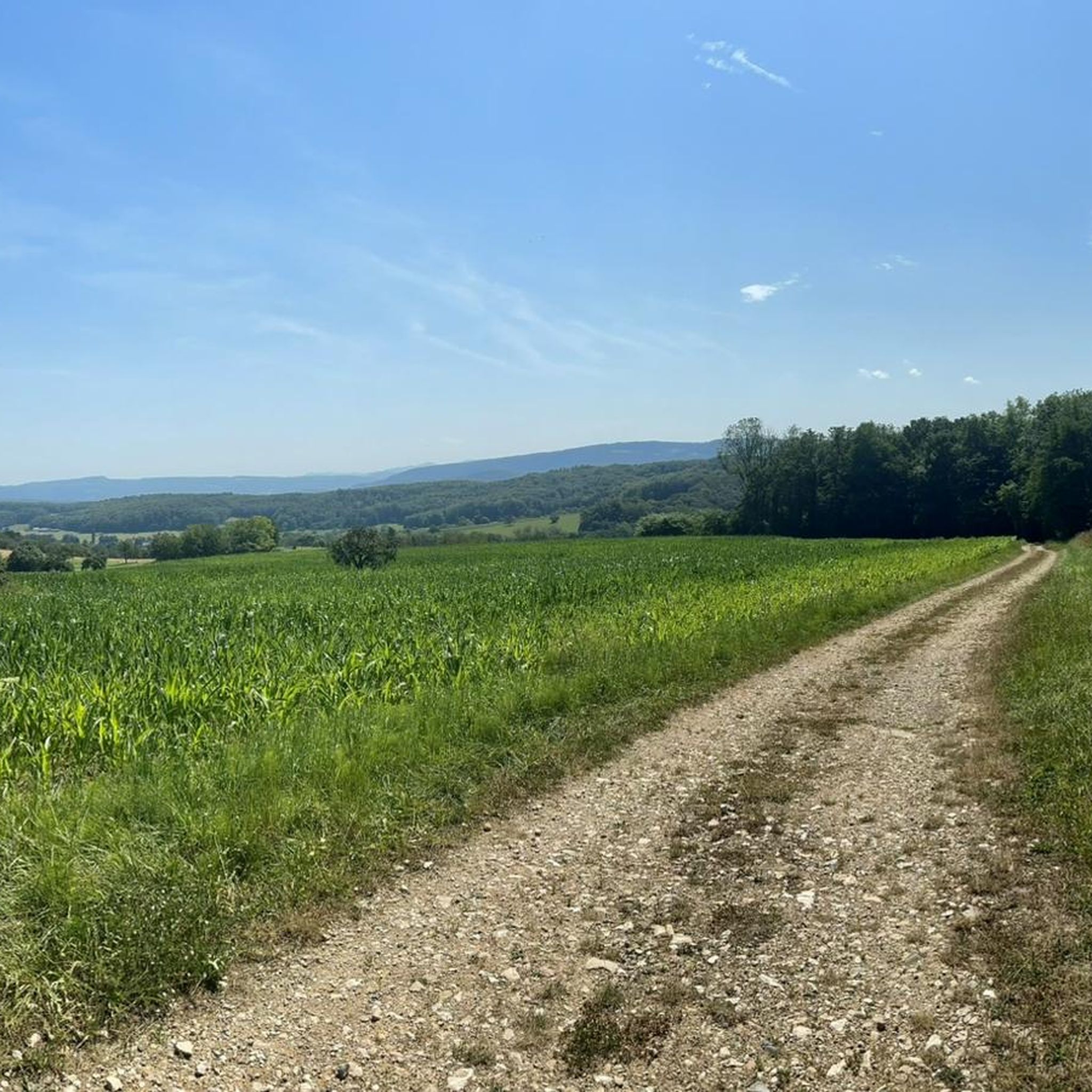
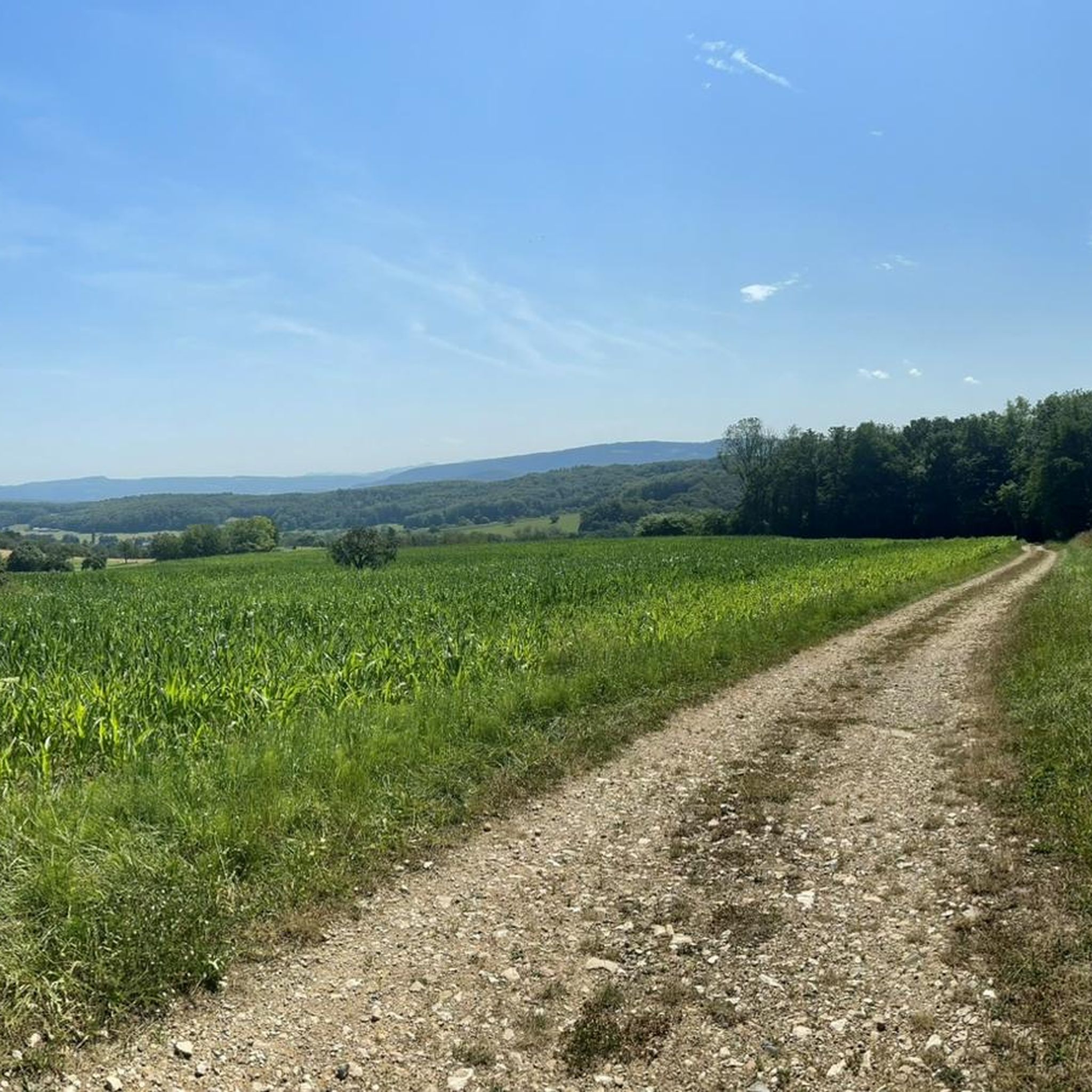
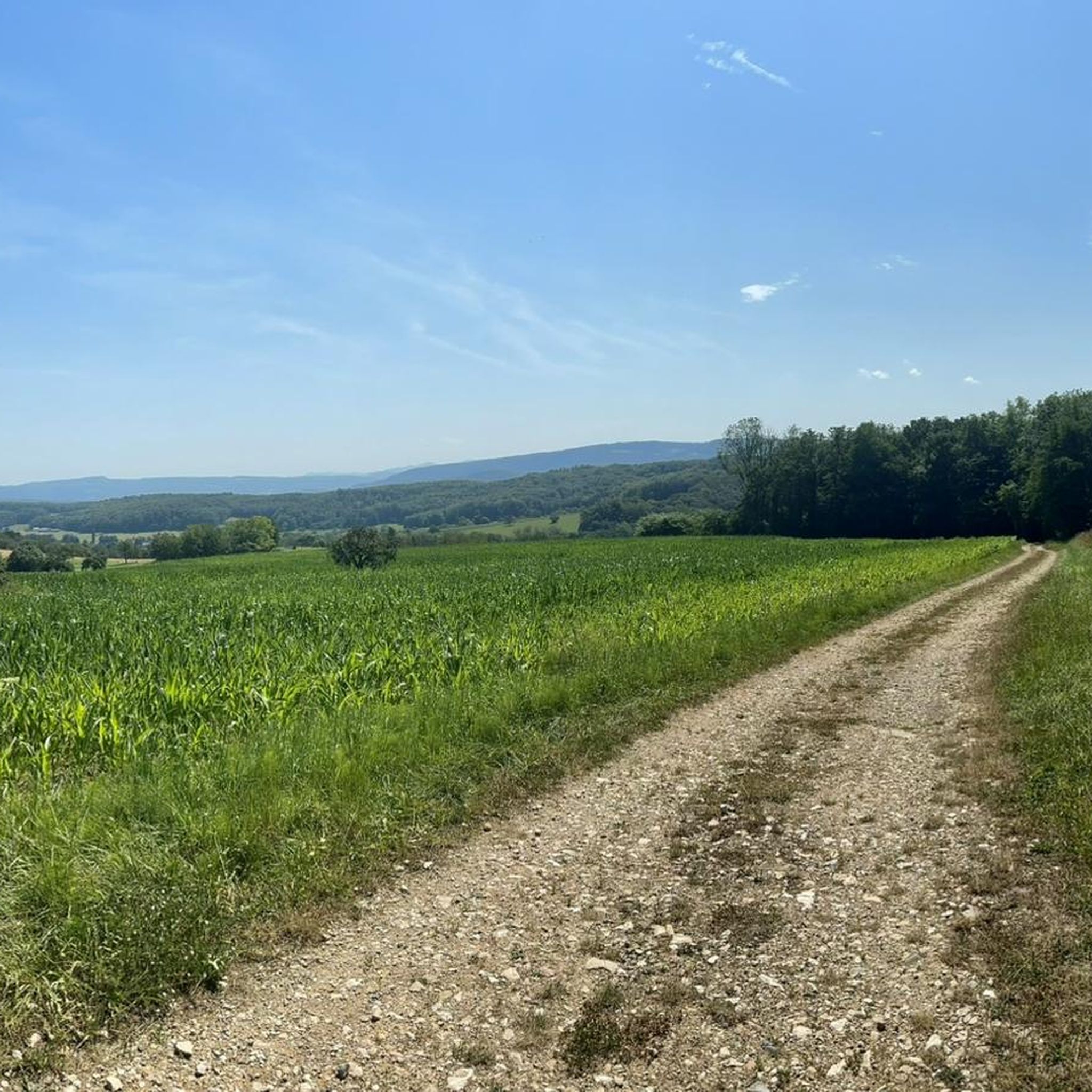
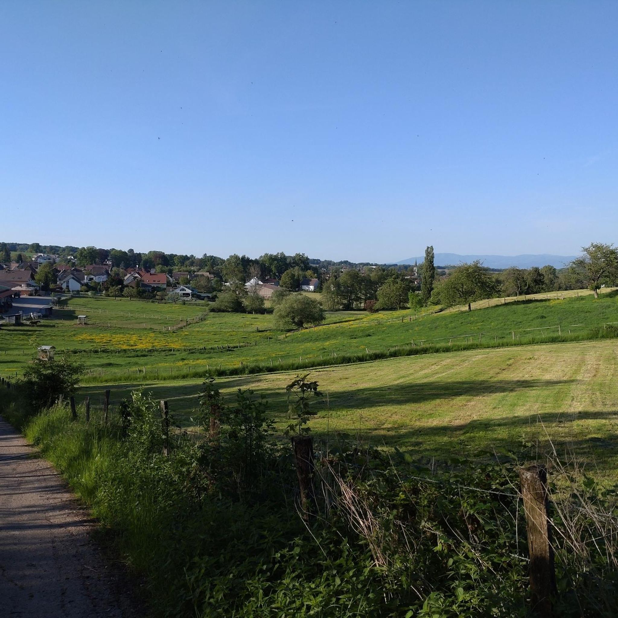
Hiking around Hagenthal-Le-Haut offers access to the rolling hills of the French Sundgau and the Alsatian Jura mountains. The region features diverse terrain, including lush forests, open fields, and meadows, providing varied hiking experiences. Paths often present views of the surrounding countryside, including border regions with Switzerland and Germany.
Best hiking trails around Hagenthal-Le-Haut
- The most popular hiking route is Short technical climb – Wessenberg trail loop from Hagenthal-le-Haut, a 4.7 miles (7.5 km) trail that takes 2 hours…
Last updated: July 1, 2026
5.0
(5)
22
hikers
7.50km
02:08
170m
170m
Moderate hike. Good fitness required. Easily-accessible paths. Suitable for all skill levels.
4.5
(2)
16
hikers
13.7km
03:47
240m
240m
Moderate hike. Good fitness required. Easily-accessible paths. Suitable for all skill levels.

Sign up for free
5.0
(3)
15
hikers
Moderate hike. Good fitness required. Easily-accessible paths. Suitable for all skill levels.
5.0
(1)
16
hikers
11.1km
03:05
200m
200m
Moderate hike. Good fitness required. Easily-accessible paths. Suitable for all skill levels.
5.0
(2)
12
hikers
6.57km
01:47
90m
90m
Easy hike. Great for any fitness level. Easily-accessible paths. Suitable for all skill levels.
Get access to more routes and recommendations from other explorers.
Sign up for free
Already have an account?
Our route recommendations are based on thousands of hikes, rides, and runs completed by other people on komoot.
Start today with a free account
Your next adventure awaits.
Login or Signup
Tips from the Community

The fantastic trail that runs along the border in Neuwiller offers a scenic ride through lush forests and open fields. As you ride the trail, you’ll find yourself among historic landmarks, ancient boundary markers, and beautiful natural features. The terrain offers a mix of smooth trails and more technical sections, making it a pleasant challenge for mountain bikers.
1
0

Hiking map in the town with a few routes and information.
0
0

along the edge of the forest and easy to drive
0
1

Small chapel on the Way of St. James 🦪 above Leymen F, which is dedicated to Saint Walburga. The current chapel was built in 1682.
1
0

Do not walk to Schönenbuch via Rue de Hegenheim! Expressway without a pavement!
0
0

Rolls well, nice gravel route. You'll get a smile or two when you watch some of the golf artists roll by.
0
1

the current construction dates from 1682; it is sold as national property under the revolution.
1
0

On wet ground, it can be quite soggy and slippery. The route is also popular with bikers and they often come at a fast pace
1
0
Frequently Asked Questions
How many hiking trails are available around Hagenthal-Le-Haut?
There are over 690 hiking routes available around Hagenthal-Le-Haut, catering to various preferences and skill levels. This includes a wide range of options from easy strolls to more challenging moderate routes.
What are the typical difficulty levels for hikes in this region?
The hiking trails around Hagenthal-Le-Haut offer a good mix of difficulty levels. You'll find over 360 easy routes, 300 moderate routes, and about 30 more difficult trails, ensuring there's something for everyone.
Are there any circular hiking routes around Hagenthal-Le-Haut?
Yes, many of the trails around Hagenthal-Le-Haut are circular, allowing you to start and end at the same point. For example, the Short technical climb – Wessenberg trail loop from Hagenthal-le-Haut is a popular moderate circular route.
What kind of landscapes can I expect to see while hiking?
Hikers in Hagenthal-Le-Haut can expect diverse landscapes, including the rolling hills of the French Sundgau and the Alsatian Jura mountains. The trails lead through lush forests, open fields, and meadows, often providing picturesque views of the surrounding countryside, including the border regions with Switzerland and Germany.
Are there any historical sites or landmarks to see along the trails?
Yes, the region is rich in history. You can explore nearby castle ruins such as Landskron Castle, which offers panoramic views. The Alsatian Jura mountains also feature longer routes passing by significant castles like Ferrette Castle.
What do other hikers enjoy most about the trails in Hagenthal-Le-Haut?
The trails in Hagenthal-Le-Haut are highly rated by the komoot community, with an average score of 4.5 stars from over 1100 reviews. Hikers often praise the varied terrain, the serene environment of the forests, and the beautiful views of the tri-border area.
Are there family-friendly hiking options in Hagenthal-Le-Haut?
Absolutely. The region offers many easy paths suitable for families, including gentle strolls through fields and meadows. The 'Le Sentier Vert' permanent course, for instance, has options ranging from 6 km to 11 km, with about 50% shaded paths, making it ideal for families.
Can I bring my dog on the hiking trails?
Generally, dogs are welcome on most hiking trails in the region. However, it's always recommended to keep them on a leash, especially in nature reserves or areas with livestock, and to follow local regulations regarding pet waste.
Is parking available at the trailheads?
While specific parking information for every trailhead isn't always listed, Hagenthal-Le-Haut is a well-known hiking area, and many popular starting points for trails typically offer designated parking areas or roadside parking options. It's advisable to check individual route details on komoot for specific parking recommendations.
Are there places to eat or drink near the hiking routes?
Yes, you can find options for refreshments. Some routes, like the Grenznahe Ruhe in Neuwiller – Auberge de Neuwiller loop from Hagenthal-le-Bas, pass by establishments like the Auberge de Neuwiller, providing opportunities for a break and a meal.
Are there any trails that cross into neighboring countries?
Due to Hagenthal-Le-Haut's location near the French, Swiss, and German borders, some trails offer unique cross-border experiences. You can find paths that cross into Switzerland multiple times, providing unique perspectives of the tri-border area.
What is a good moderate hike to experience the local scenery?
A great moderate option is the View of Leymen – Sainte-Walburge chapel loop from Hagenthal-le-Bas. This 13.7 km path includes an ascent of 243 meters and offers scenic views towards Leymen, showcasing the region's characteristic rolling hills and countryside.
Most popular routes around Hagenthal-Le-Haut
Most popular attractions around Hagenthal-Le-Haut

Get inspired with the komoot mobile app


Explore more
Browse the best Hikes in other regions.
