The best mountain hikes around Saint-Laurent-Du-Pont
4.6
(23)
202
hikers
19
hikes
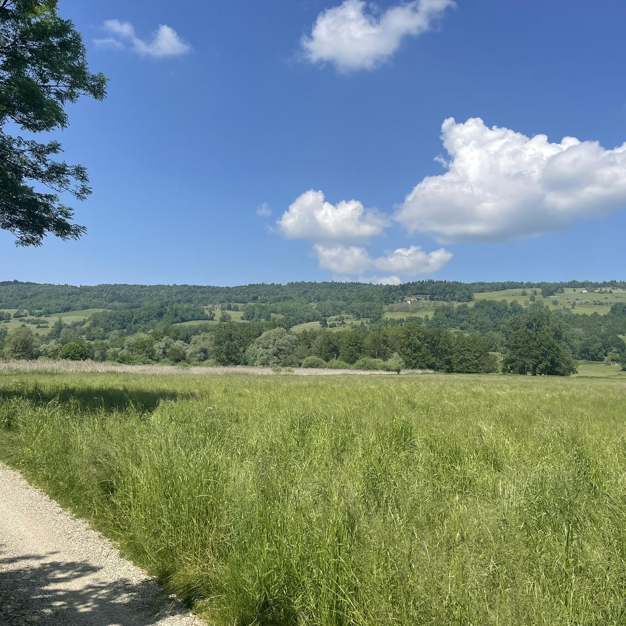
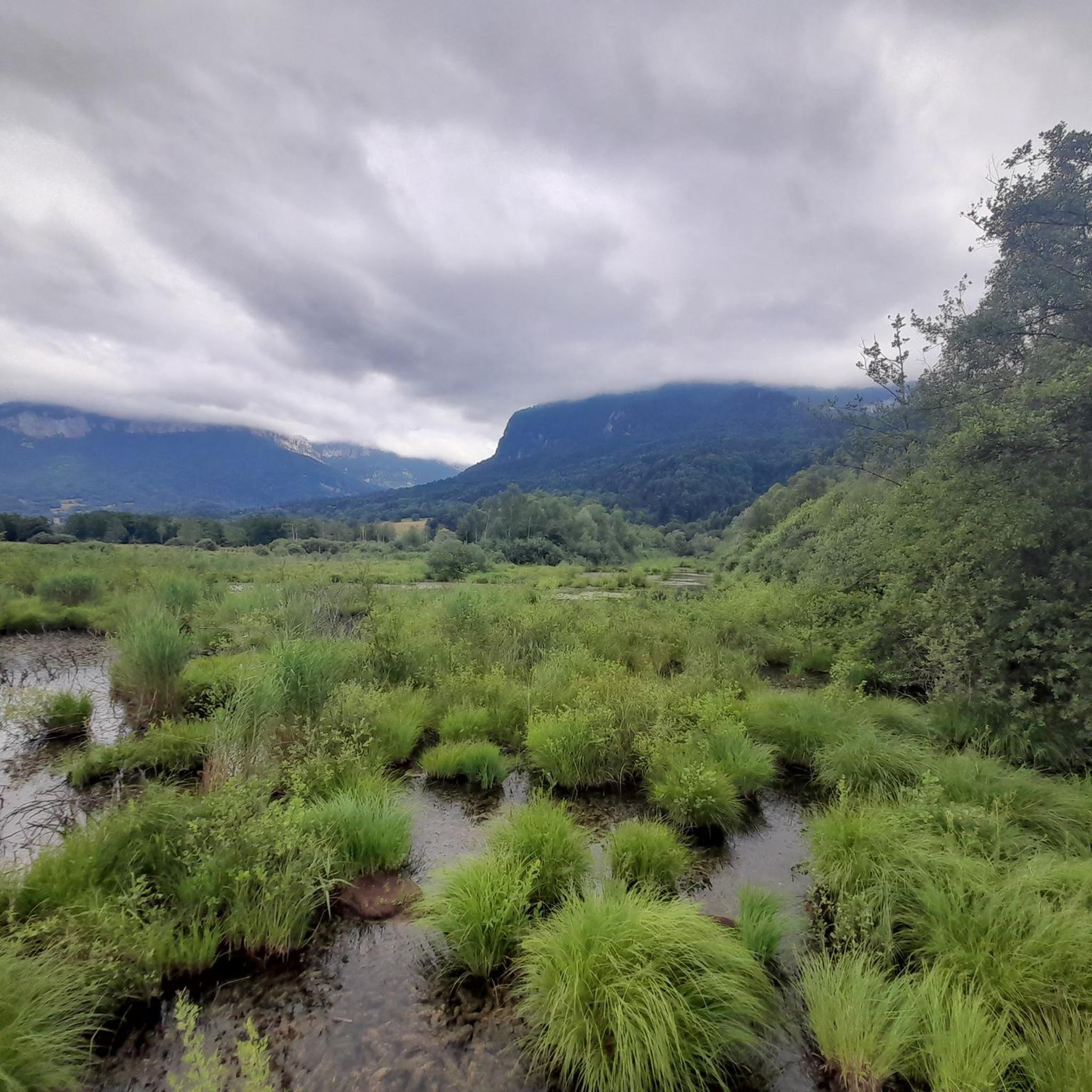
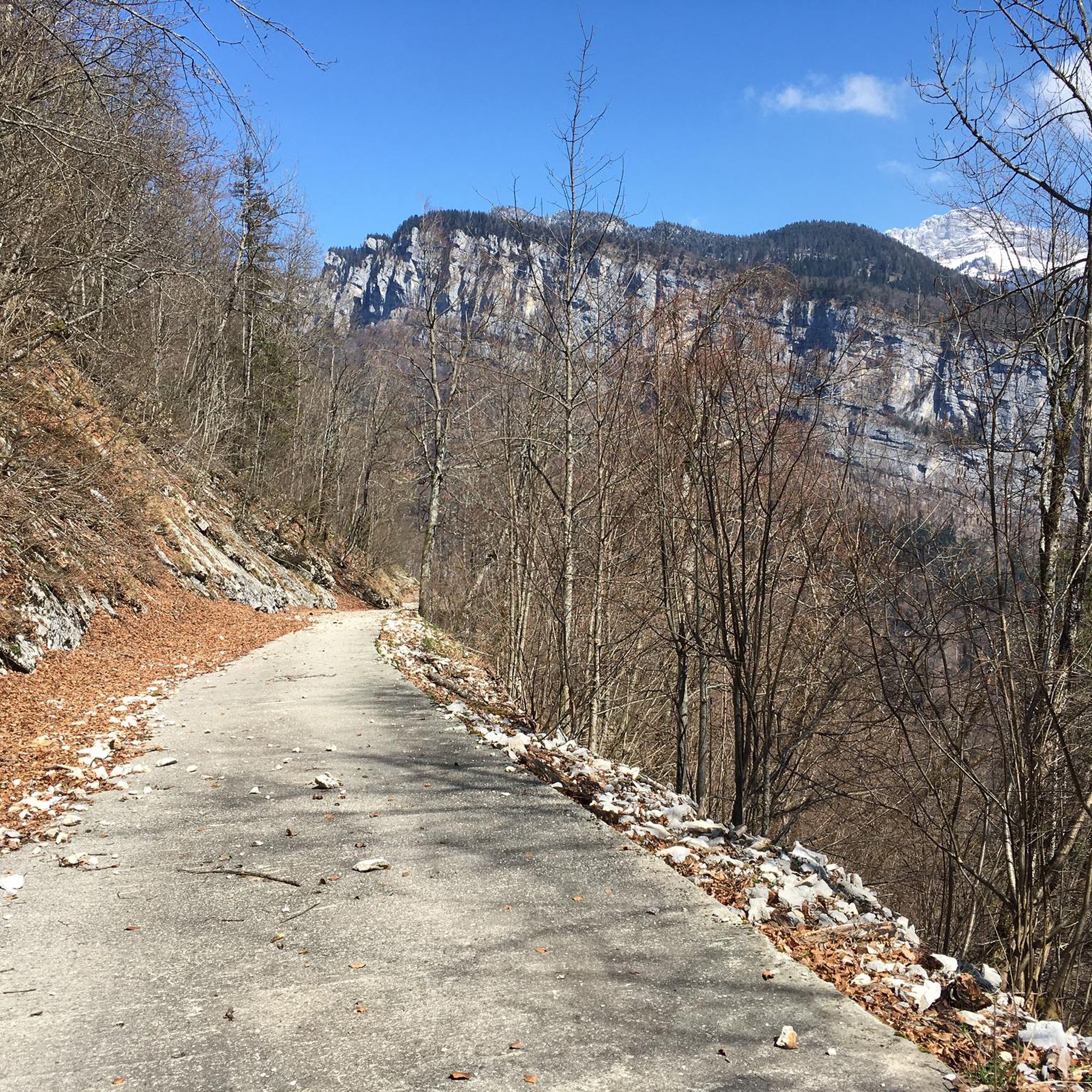
Mountaineering routes around Saint-Laurent-Du-Pont are situated within the Chartreuse Regional Natural Park, offering a diverse environment for challenging ascents. The region is characterized by its dramatic limestone cliffs, dense forests, and numerous mountain peaks and passes. The Guiers Mort river carves through impressive gorges, adding to the varied terrain available for exploration.
Best mountaineering routes around Saint-Laurent-Du-Pont
- The most popular mountaineering route is Oratoire d'Orgeval – Col de la Chavanette Signpost loop from Chamechaude, a 7.2 miles (11.6 km)…
Last updated: October 4, 2026
5.0
(1)
14
hikers
11.6km
03:56
510m
510m
Moderate mountaineering route. Good fitness required. Mostly accessible paths. Sure-footedness required.
11
hikers
12.2km
04:59
910m
910m
Hard mountaineering route. Very good fitness required. Mostly accessible paths. Sure-footedness required.

5.0
(2)
14
hikers
13.7km
04:54
610m
610m
Moderate mountaineering route. Good fitness required. Mostly accessible paths. Sure-footedness required.
6
hikers
Moderate mountaineering route. Good fitness required. Easily-accessible paths. Suitable for all skill levels.
5.0
(2)
11
hikers
14.9km
06:58
1,140m
1,140m
Hard mountaineering route. Very good fitness required. Sure-footedness, sturdy shoes and alpine experience required.
Get access to more routes and recommendations from other explorers.
Already have an account?
Our route recommendations are based on thousands of hikes, rides, and runs completed by other people on komoot.
Start today with a free account
Your next adventure awaits.
Tips from the Community

The climb to the charming Som from the Col de Porte is always a treat. There are some very steep sections, but the view at the top is worth it. Be careful on the descent: uneven road, tight bends, cars.
0
0

Be careful, if in summer it is a fairly easy passage, in winter, as the surrounding slopes are steep, it is more prudent to have crampons
0
0

Magnificent summit above the Col de la Ruchère, offering you one of the most beautiful panoramas of the Chartreuse.
0
0

Accessible via a small road closed to cars, in great calm, you must also remain discreet and not make noise on this road and at the monastery. The slope is steep, very high percentages. The monastery is very beautiful.
1
0

A must-have! Big climb with steep slope before arriving at the monastery. Ideal for recharging your batteries.
1
0

Highest summer cheese dairy, perched in the middle of the Charmant Som mountain pasture. Well, okay, it's not really the season...
0
0

Dominating the valley, the Orgeval oratory offers a magnificent view. When the weather permits, the Mont-Blanc massif can be seen in the distance.
1
0

This beautiful single track joins the crests of Montfromage. The forest is dense but allows a glimpse of the surrounding landscapes and, in the distance, the Rochers de Chalves.
0
0
Frequently Asked Questions
How many mountaineering routes are available around Saint-Laurent-Du-Pont?
There are over 20 mountaineering routes around Saint-Laurent-Du-Pont listed on komoot, offering a diverse range of challenges within the Chartreuse Regional Natural Park. These routes are highly rated by the komoot community, with an average score of 4.7 stars from more than 30 reviews.
What types of mountaineering routes can I find in Saint-Laurent-Du-Pont?
The region offers a balanced mix of moderate and difficult mountaineering routes. You'll find 11 moderate trails, perfect for those looking for a challenging day out, and 12 difficult routes for experienced mountaineers seeking significant elevation gains and rugged terrain.
Are there any circular mountaineering routes in the area?
Yes, many routes around Saint-Laurent-Du-Pont are circular, allowing you to start and end at the same point. For example, the Oratoire d'Orgeval – Col de la Chavanette Signpost loop from Chamechaude is a moderate 11.6 km loop, and the Piénom (1615 m) – Charmant Som summit loop from Chamechaude offers rewarding summit views on a 13.8 km loop.
What are some notable natural features or landmarks to see while mountaineering?
The Chartreuse massif is rich in natural beauty. You can explore dramatic limestone cliffs, dense forests, and impressive gorges carved by the Guiers Mort river. Highlights include the majestic summit of Grande Sure, the panoramic views from Charmant Som, and the unique passage of Pas de Pertuis cut into the rock face. Don't miss the stunning Grande Sure loop trail for a comprehensive experience.
Are there any waterfalls or water features along the routes?
While specific routes in the guide may not directly pass by them, the region is known for its beautiful waterfalls. The Saint-Même Cirque Waterfalls are a must-see natural site at the foot of the Hauts de Chartreuse nature reserve, offering a walk through forests and along torrents. The impressive Cascade de la Pisserotte, a 62-meter high waterfall, is also nearby and particularly spectacular during spring snowmelt.
What is the best time of year for mountaineering in Saint-Laurent-Du-Pont?
The best time for mountaineering in Saint-Laurent-Du-Pont is generally from late spring to early autumn (May to October) when the weather is most stable and trails are clear of snow. Spring offers spectacular waterfalls from snowmelt, while autumn provides vibrant foliage. Winter mountaineering is possible but requires specialized equipment and experience due to snow and ice conditions.
Are there any challenging routes for experienced mountaineers?
Absolutely. For experienced mountaineers, the Petit Som – Bovinant Pass loop from Monastère de la Grande-Chartreuse is a difficult 12.0 km path with significant elevation gain through rugged mountain landscapes. Another challenging option is the Grand Som – Ruchère Pass loop from Monastère de la Grande-Chartreuse, a 15.1 km route with over 1100 meters of ascent.
What do other mountaineers say about the routes in Saint-Laurent-Du-Pont?
The routes in Saint-Laurent-Du-Pont are highly regarded by the komoot community, boasting an average rating of 4.7 stars. Mountaineers often praise the diverse terrain, from dramatic limestone cliffs to dense forests, and the rewarding panoramic views from the summits. Many appreciate the well-maintained paths and the sense of immersion in the preserved natural environment of the Chartreuse Regional Natural Park.
Are there any mountain passes I can visit while mountaineering?
Yes, the region is home to several significant mountain passes. You can explore Col de Porte (1326 m), a popular starting point for various hikes, or challenge yourself with ascents to Col du Cucheron and Col du Coq. These passes offer stunning views and are integral to many mountaineering routes.
Are there any huts or refuges along the mountaineering trails?
Yes, there are several huts and refuges that can be found in the vicinity of the mountaineering routes. Notable options include the Habert of Chamechaude, the Manival Forest Refuge, and the Habert de Billon. These can provide a welcome rest stop or shelter during longer excursions.
What is the typical duration for mountaineering routes in this area?
The duration of routes varies depending on difficulty and distance. Moderate routes like the Grande Chartreuse Museum – Ruchère Pass loop typically take around 3 hours 40 minutes. More difficult and longer routes, such as the Grand Som – Ruchère Pass loop, can take upwards of 7 hours to complete.
Is Saint-Laurent-Du-Pont a good base for exploring the Chartreuse massif?
Absolutely. Saint-Laurent-Du-Pont is often referred to as the 'gateway to the Chartreuse' due to its strategic location. It provides excellent access to the Chartreuse Regional Natural Park, making it an ideal starting point for exploring the diverse landscapes, challenging peaks, and rich natural heritage of the massif.
Most popular routes around Saint-Laurent-Du-Pont
Most popular attractions around Saint-Laurent-Du-Pont

Get inspired with the komoot mobile app


Explore more
Browse the best Mountain Hikes & Routes in other regions.
