The best road cycling routes around Ottendorf
4.6
(101)
2,289
riders
96
rides
Road cycling around Ottendorf offers diverse landscapes characterized by rolling hills, dense forests, and lush meadows. The region's varied topography provides both challenging inclines and scenic descents for road cyclists. Rivers like the Saale further enhance the natural beauty, offering opportunities for rides along riverbanks. This combination of physical features creates an engaging environment for exploring the area on two wheels.
Best road cycling routes around Ottendorf
- The most popular road cycling route is View of the Vosges – Memorial…
Last updated: October 27, 2026
5.0
(2)
39
riders
66.3km
02:42
340m
340m
Moderate road ride. Good fitness required. Mostly well-paved surfaces and easy to ride.
12
riders
87.5km
04:35
1,570m
1,570m
Hard road ride. Very good fitness required. Mostly well-paved surfaces and easy to ride.

9
riders
72.0km
03:16
770m
770m
Moderate road ride. Good fitness required. Mostly well-paved surfaces and easy to ride.
5.0
(1)
18
riders
48.9km
02:20
580m
580m
Moderate road ride. Good fitness required. Mostly well-paved surfaces and easy to ride.
9
riders
98.6km
04:38
1,260m
1,260m
Hard road ride. Very good fitness required. Mostly well-paved surfaces and easy to ride.
Get access to more routes and recommendations from other explorers.
Already have an account?
Our route recommendations are based on thousands of hikes, rides, and runs completed by other people on komoot.
Start today with a free account
Your next adventure awaits.


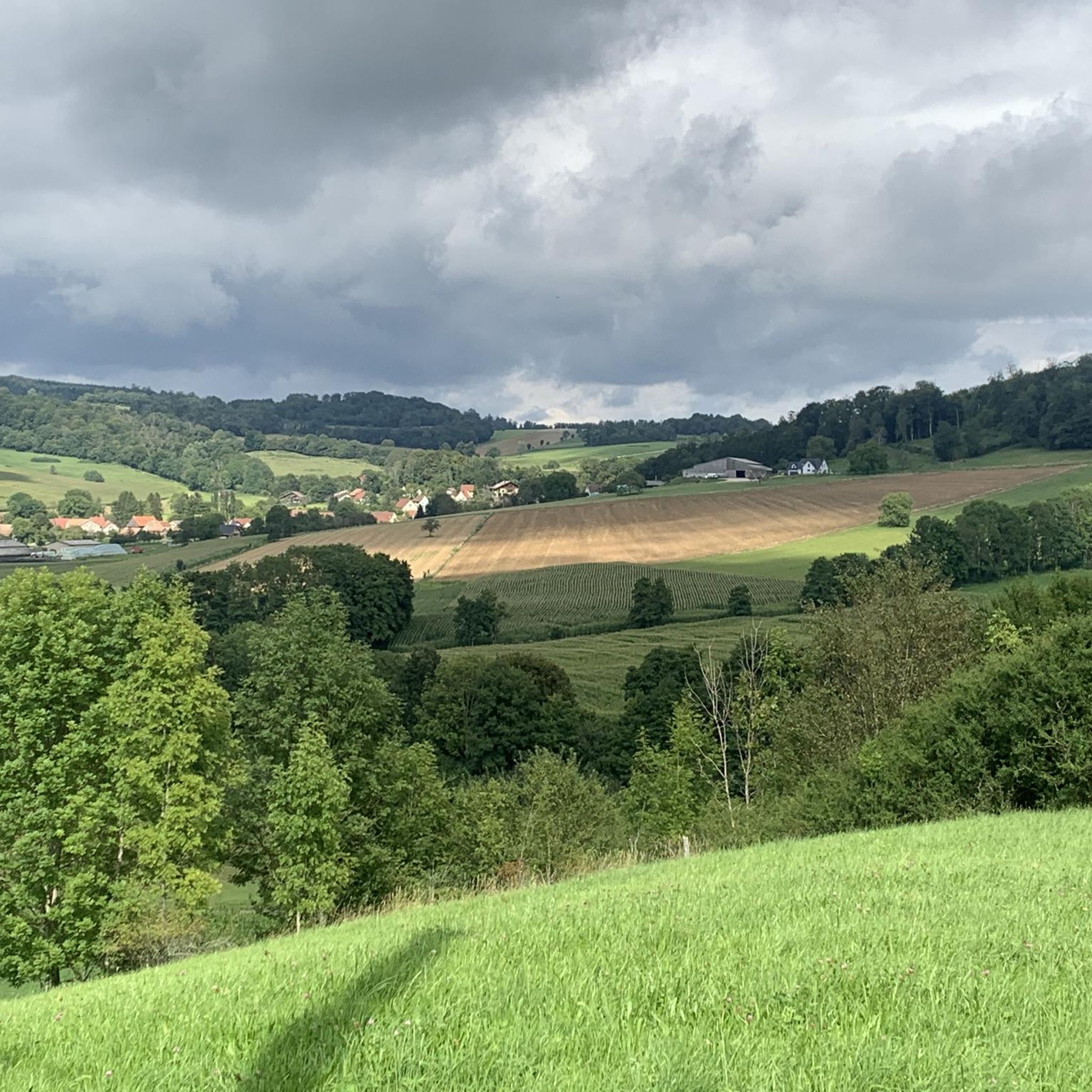
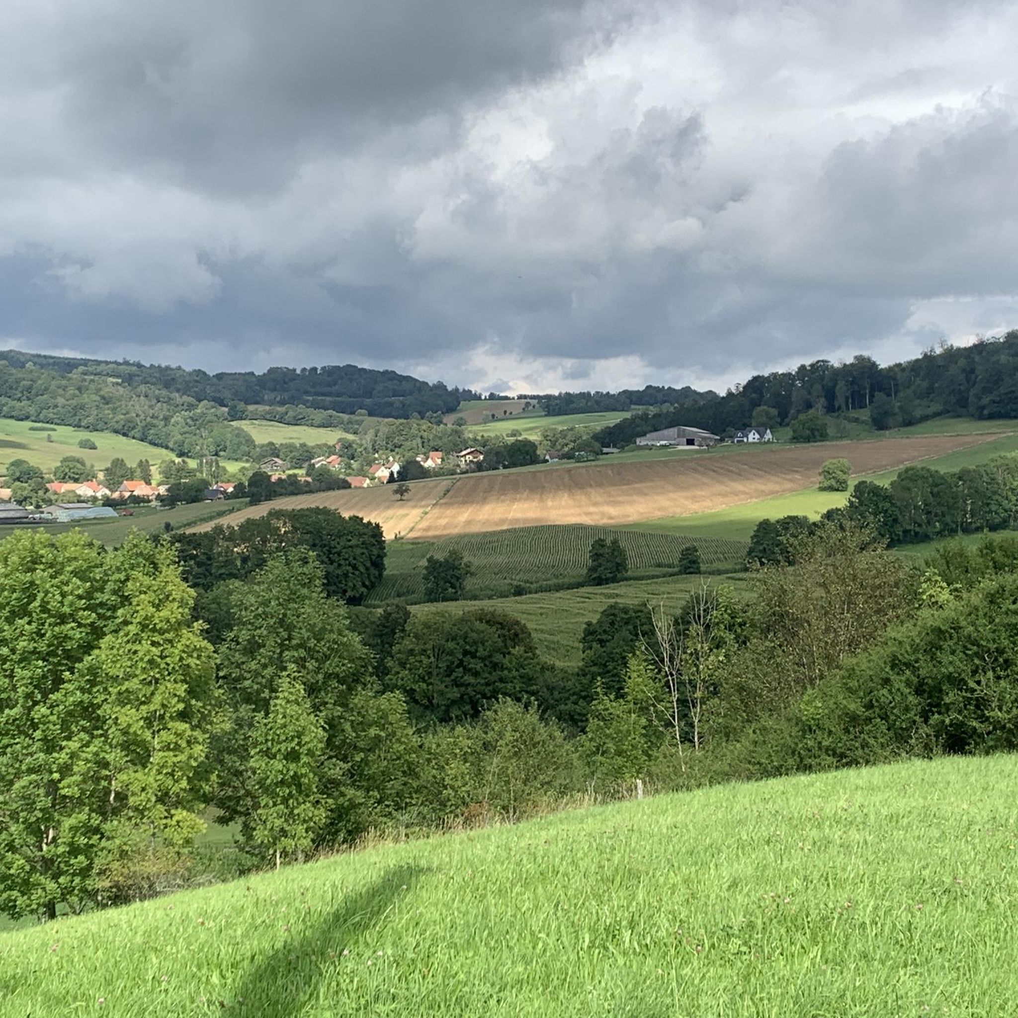
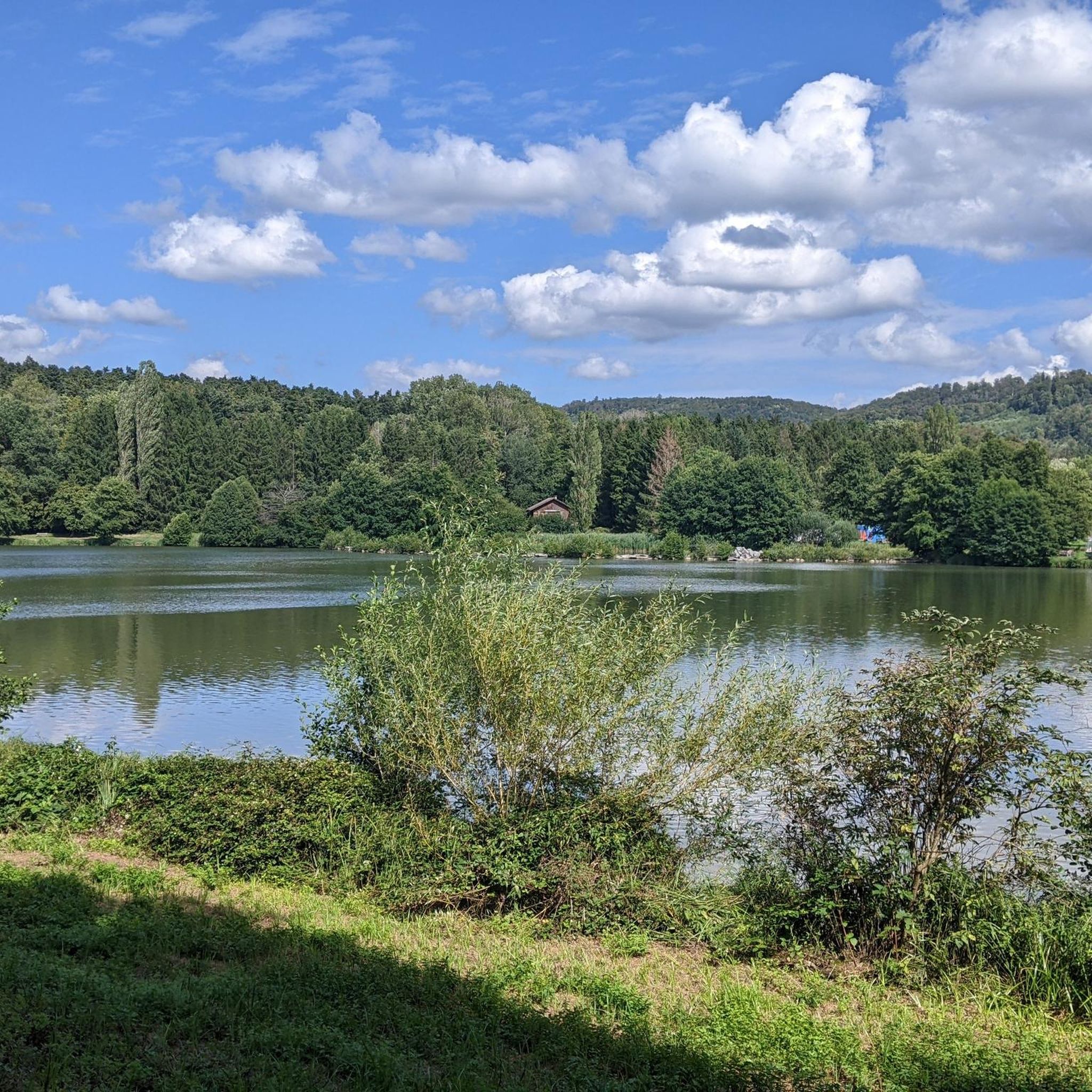
Tips from the Community

Magnificent place with a great view of the surrounding hills!
0
0

Although the cycle path doesn't lead directly through nature, but more or less along the main road, it is nevertheless very well developed!
0
0
Here too, the cycle path leads right through beautiful nature, is actually superbly developed, currently (early 2026) still through a construction site at the very beginning, a bit bumpy but still great, without motor traffic!
0
0
The relatively quiet main road between Courchavon and Courtemaiche runs alongside the small stream. Nothing special, but still beautiful.
0
0

Before climbing up or descending to Les Rangiers, this fountain offers cold fresh drinking water to refill your water bottles.
0
0

A sign has now been posted: "No drinking water."
0
0

From Laufen/Röschenz, it's a steady climb and never particularly steep, but it's a long one until you get to the very top. From Metzerlen, it's really nasty and steep, but shorter. One of the region's classics.
1
0

Idyllically situated at the end of the Lützeltal.
0
0
Frequently Asked Questions
How many road cycling routes are available around Ottendorf?
There are nearly 100 road cycling routes around Ottendorf, offering a wide variety of options for cyclists of all levels. These routes are highly rated by the komoot community, with an average score of 4.6 stars.
What kind of terrain can I expect on road cycling routes in Ottendorf?
Road cycling around Ottendorf features diverse landscapes characterized by rolling hills, dense forests, and lush meadows. You'll find both challenging inclines and scenic descents, with many routes offering predominantly paved surfaces. Rivers like the Saale also provide opportunities for more gentle rides along riverbanks.
Are there routes suitable for beginners or less experienced road cyclists?
Yes, Ottendorf offers routes for various skill levels. While there are challenging options, you'll find 14 easy and 68 moderate routes that are well-suited for beginners or those looking for a less strenuous ride. These routes allow you to enjoy the scenic beauty without excessive difficulty.
What are some of the most scenic viewpoints or landmarks I can see while cycling?
The region offers picturesque views of its rolling hills, forests, and river valleys. You can also integrate cultural stops into your rides, such as historic churches and charming villages with traditional half-timbered houses. For specific landmarks, consider exploring areas near Ferrette Castle or Porrentruy Castle, or enjoy the vistas from View from the Pass Between Lucelle and Delémont.
What is the best time of year for road cycling in Ottendorf?
Spring and autumn are particularly beautiful seasons for road cycling in Ottendorf. During these times, nature awakens with vibrant blooms or is adorned with colorful leaves, enhancing the scenic quality of your rides. The weather is generally pleasant, making for ideal cycling conditions.
Are there any challenging routes for experienced road cyclists?
Absolutely. For experienced road cyclists seeking a challenge, Ottendorf offers 17 difficult routes. One notable option is the Ascent to La Caquerelle – Sorne Gorge Road (Gorges du Pichoux) loop from Bonfol, which covers 86.9 km and features significant elevation gain, traversing scenic gorges and demanding ascents.
Can I find circular road cycling routes in the area?
Yes, many of the road cycling routes around Ottendorf are designed as loops, allowing you to start and end your ride in the same location. Examples include the popular View of the Vosges – Memorial to the fallen 🕊️ loop from Bonfol and the Saint Martin Church, Oltingue – Vue sur Bettlach loop from Bonfol.
Are there any mountain passes to conquer for road cyclists?
Yes, the region around Ottendorf features several mountain passes that offer challenging climbs and rewarding descents. You can test your endurance on passes like Blochmont Pass, Ascent to La Caquerelle, or Rangiers Pass.
What are the typical durations for road cycling routes in Ottendorf?
Route durations vary significantly based on distance and difficulty. For instance, a moderate route like View of the Vosges – Memorial to the fallen 🕊️ loop from Bonfol typically takes around 2 hours 43 minutes, while a more difficult and longer route such as Descent from Mariastein – Climb to Folgensbourg loop from Bonfol can take approximately 4 hours 39 minutes.
Are there options for refreshment or relaxation after a ride?
Yes, after a ride, you can find natural relaxation spots. For example, the nearby forest pool in Ottendorf (Thuringia) offers a chance to swim and relax. Additionally, areas like Ottendorf-Okrilla are close to bathing lakes such as the Oberwartha reservoir, providing opportunities to cool down.
What do other road cyclists enjoy most about road cycling in Ottendorf?
The area is highly rated by the komoot community, with an average score of 4.6 stars from over 100 reviews. Reviewers often praise the varied terrain, which offers a good mix of challenging climbs and scenic descents, as well as the picturesque landscapes of rolling hills, dense forests, and river valleys.
Can I find routes that pass through charming villages?
Many road cycling routes in Ottendorf are designed to take you through charming villages. You can expect to encounter small villages, some featuring traditional half-timbered houses, providing cultural stops and a glimpse into local life along your ride.
Most popular attractions around Ottendorf

Get inspired with the komoot mobile app


Explore more
Browse the best Road cycling routes in other regions.
