The best road cycling routes around Köstlach
4.6
(74)
1,409
riders
91
rides
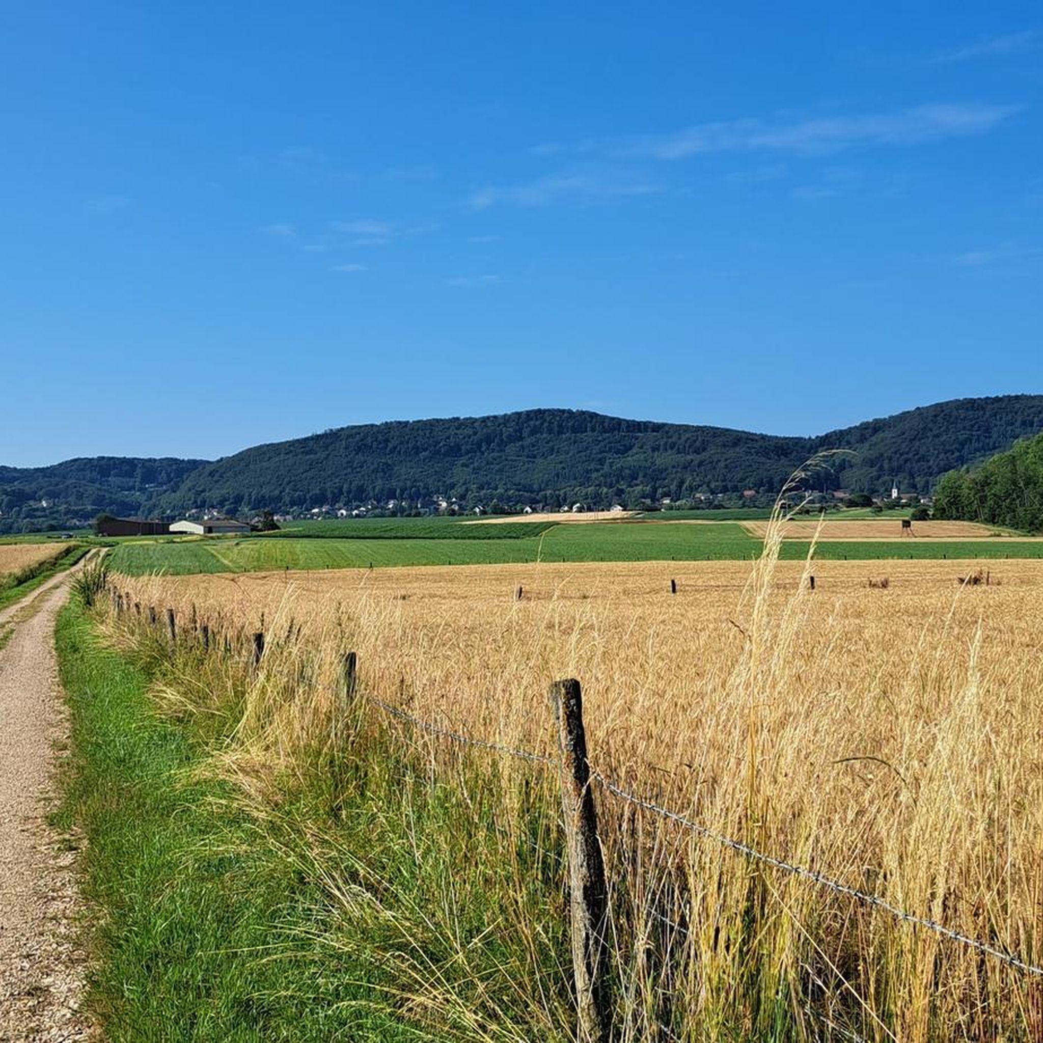
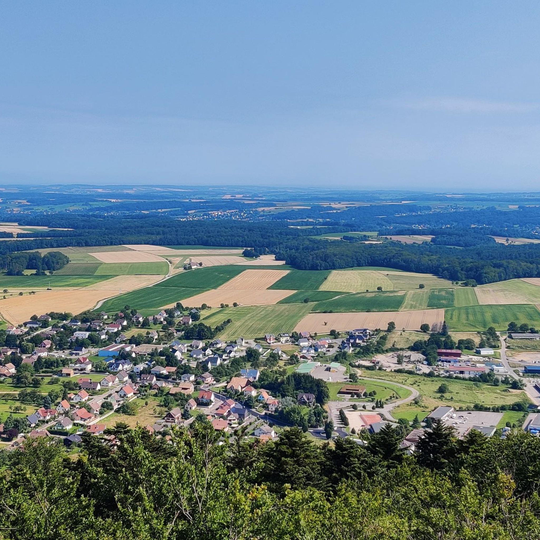
Road cycling routes around Köstlach traverse a region characterized by varied terrain, from challenging ascents to scenic valley roads. The area features mountainous scenery, including impressive peaks and expansive views, alongside lush valleys and dense forests. Cyclists can encounter natural features such as dams and reservoirs, which are often integrated into popular routes. The landscape offers a mix of paved surfaces suitable for different fitness levels, from moderate to very challenging rides.
Best road cycling routes around Köstlach
- The most…
Last updated: July 3, 2026
4.7
(3)
35
riders
62.4km
03:18
1,050m
1,050m
Hard road ride. Very good fitness required. Mostly well-paved surfaces and easy to ride.
6
riders
25.9km
01:10
270m
260m
Easy road ride. Great for any fitness level. Mostly well-paved surfaces and easy to ride.

Sign up for free
19
riders
59.7km
02:46
720m
720m
Moderate road ride. Good fitness required. Mostly well-paved surfaces and easy to ride.
21
riders
43.7km
01:52
270m
270m
Easy road ride. Great for any fitness level. Mostly well-paved surfaces and easy to ride.
14
riders
62.7km
02:53
620m
610m
Moderate road ride. Good fitness required. Mostly well-paved surfaces and easy to ride.
Get access to more routes and recommendations from other explorers.
Sign up for free
Already have an account?
Our route recommendations are based on thousands of hikes, rides, and runs completed by other people on komoot.
Start today with a free account
Your next adventure awaits.
Login or Signup
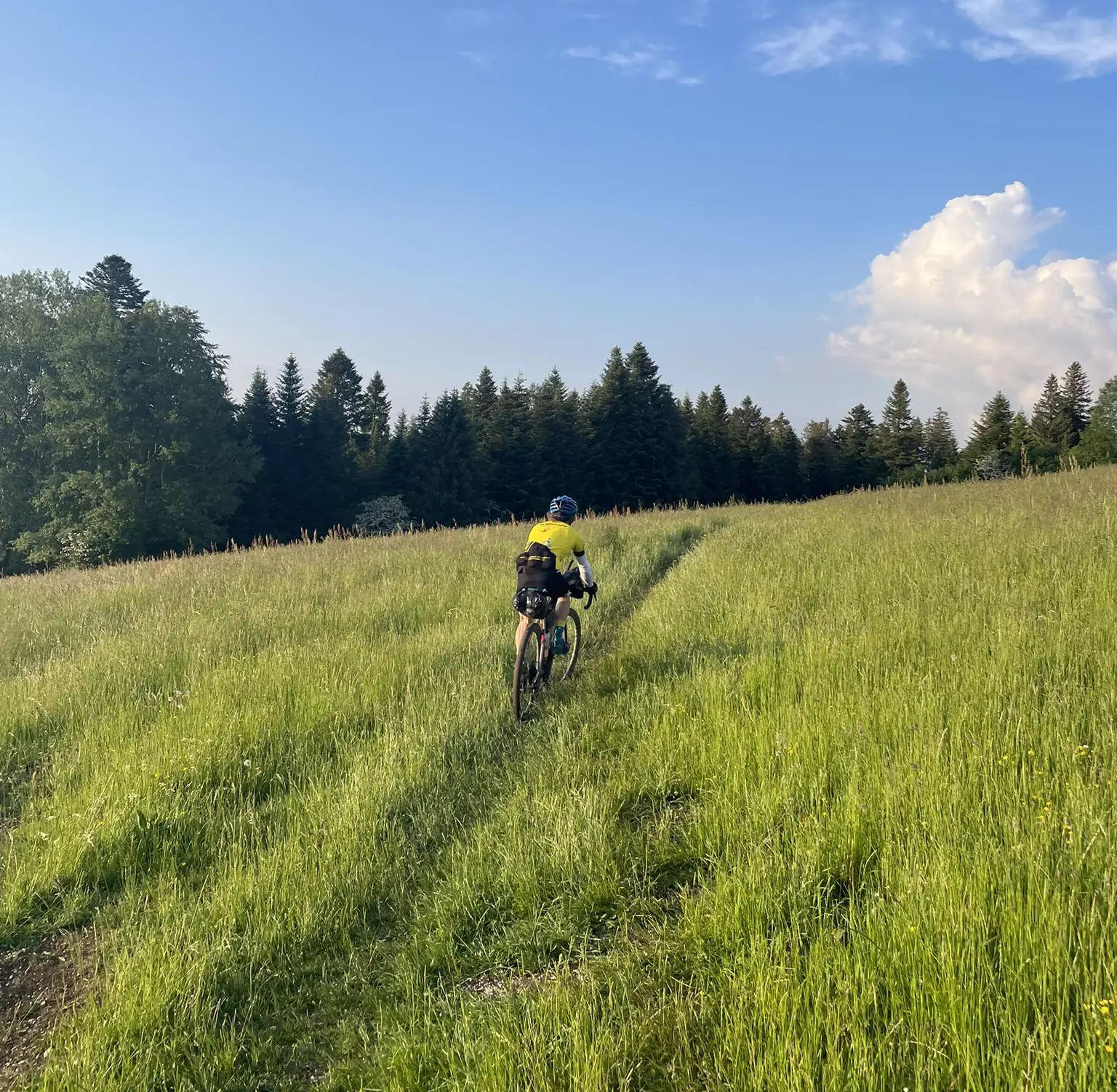
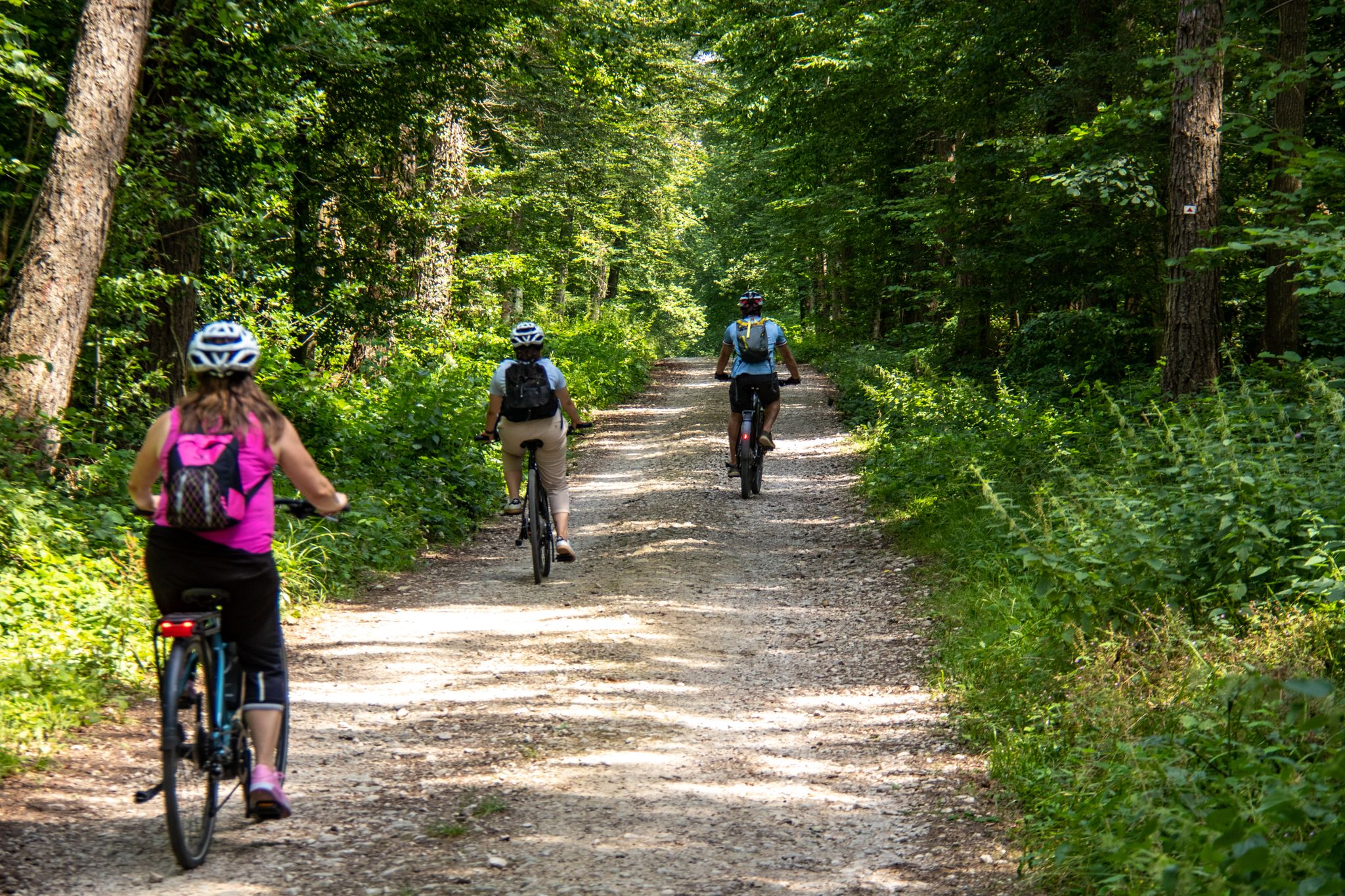

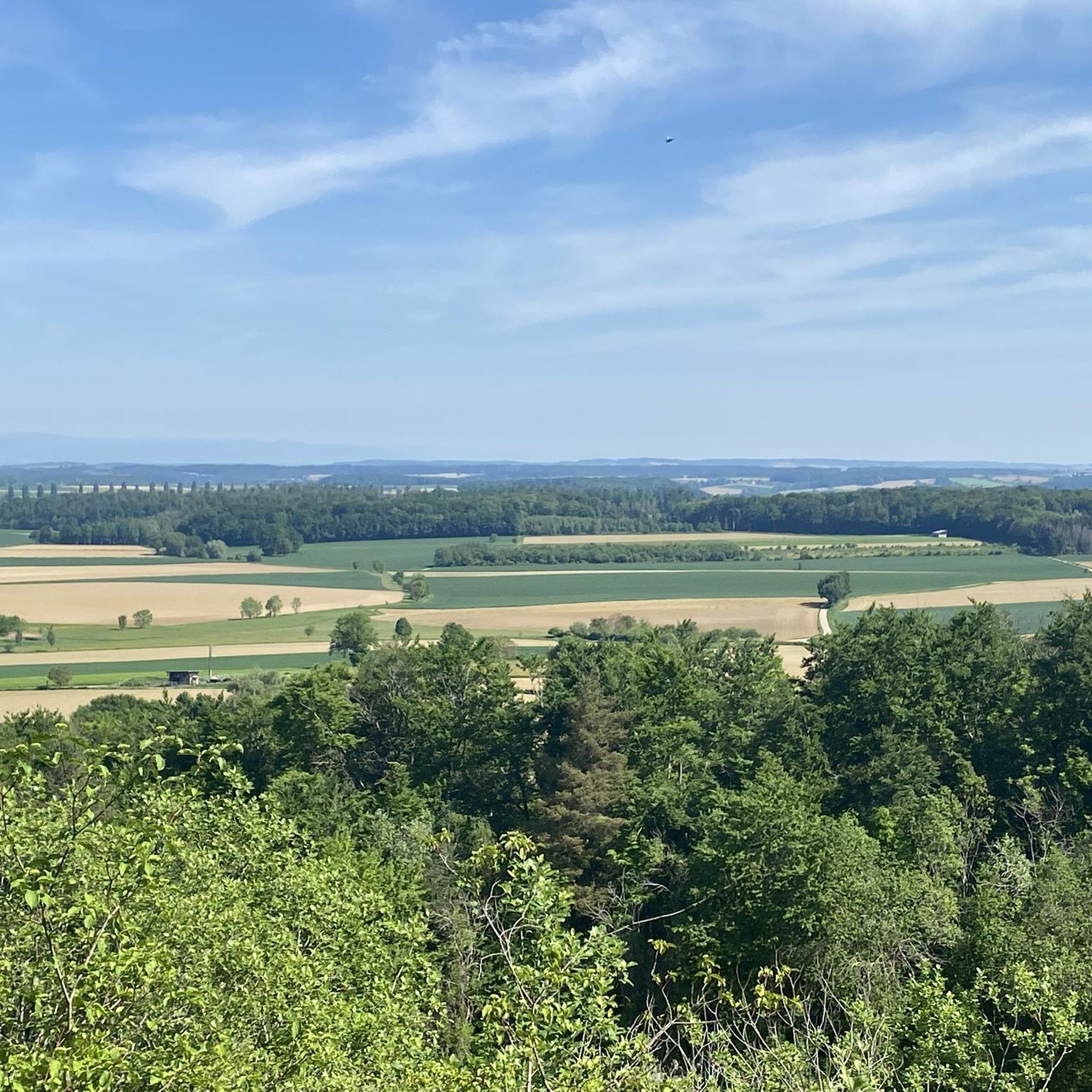
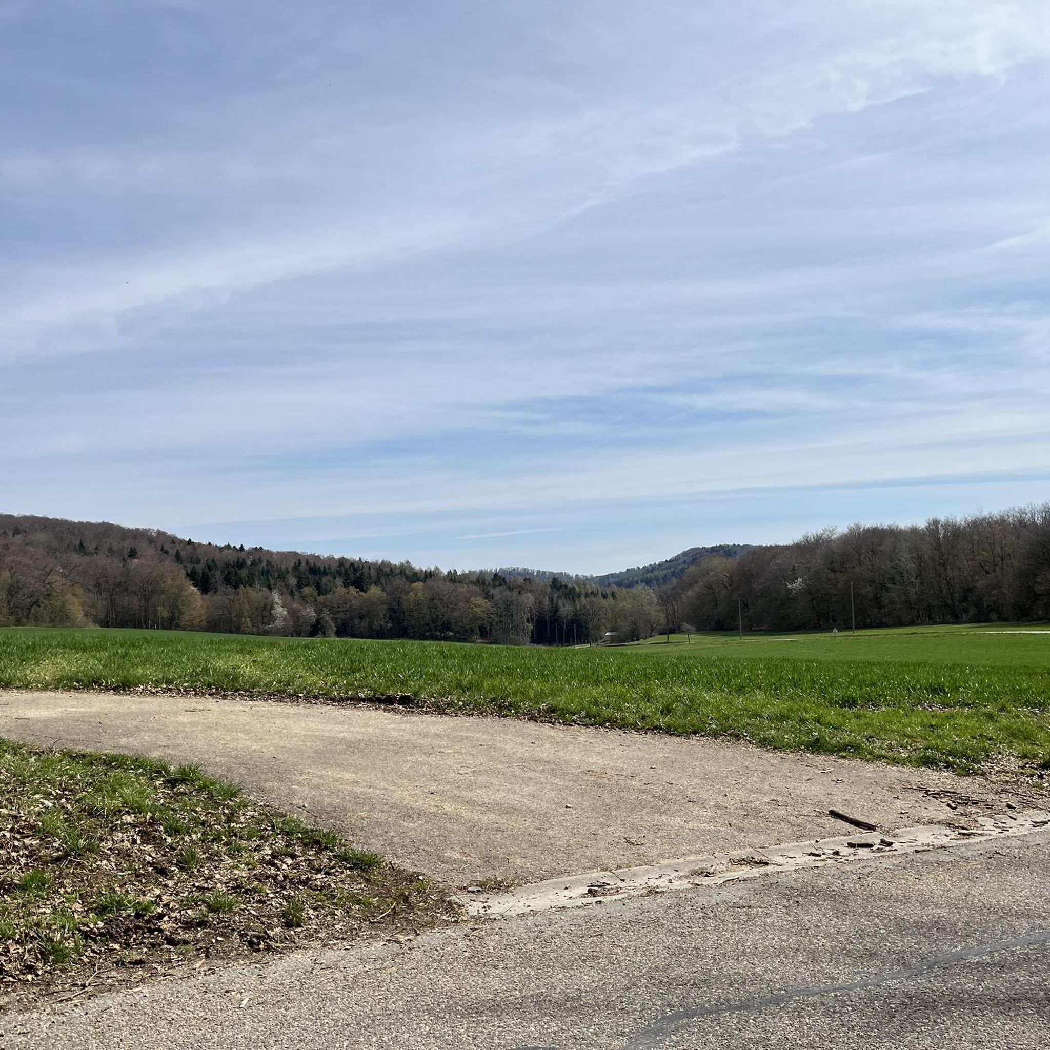


Tips from the Community

One of the few 'classic' mountain passes (🤣) near Basel. As Koblinator wrote: Thanks to the gentle gradient, it's a pleasant ride that doesn't significantly impact your average speed.
0
0

The former Altkirch-Waldighofen railway line has been converted into a cycle path in some sections, leading through fields and forests without disturbing car traffic. Highly recommended!
0
0

There are just so many magnificent well-kept Alsatian half-timbered houses along this route, take your time and enjoy the beauty of them. There are also several cafés and restaurants along the way
0
0

In 1913 and 1914, following the ideas of Johann Knauth, architect of Strasbourg Cathedral and curator of the M.H., the nave, the side chapel of the Sacré-Coeur, the Saint-Joseph Chapel in the basement, and the sacristy were rebuilt in the Gothic style by the architect Alexandre Louvat from Mulhouse. The old Gothic nave, remodeled in the 18th century, was decorated with murals dating from 1491. To the south of the choir was a small chapel dating from the 14th and 15th centuries, with cross-ribbed vaults on consoles. To the north were the remains of the old priory cloister. On the site of the present Sacred Heart Chapel was the 18th-century Mount of Olives, the rood screen of which was removed in 1861.
0
0

The monastery complex is better preserved than the already rather dilapidated fountain, which is in dire need of renovation. Water seeps out from the bottom, so you have to be careful to keep your feet dry when filling your water bottle. The fountain is somewhat hidden; if you don't know about it, you'll probably drive right past it.
0
0


The place has seen better days, charm of the abandoned, beautiful lake
0
0

Frequently Asked Questions
How many road cycling routes are available in the Köstlach region?
The Köstlach region offers a wide selection of road cycling routes, with over 90 tours available. These routes cater to various fitness levels, from easy rides to very challenging ascents.
What kind of terrain can I expect on road cycling routes around Köstlach?
Road cycling routes in Köstlach feature varied terrain, including challenging ascents, scenic valley roads, and mountainous scenery. You'll find a mix of paved surfaces, with some routes incorporating impressive peaks and lush valleys. For example, the The ascent of Ferrette — loop from Ferrette offers significant elevation gain, while the Tour of Rossberg and the Ill Valley provides a more relaxed ride through picturesque scenery.
Are there any easy road cycling routes suitable for beginners in Köstlach?
Yes, Köstlach has several easy road cycling routes perfect for beginners or those seeking a relaxed ride. There are 22 easy routes available, such as the Tour of Rossberg and the Ill Valley, which is 25.9 km long with moderate elevation.
What is the best time of year for road cycling in Köstlach?
Spring and autumn are considered the ideal seasons for road cycling in Köstlach, offering mild weather and vibrant natural scenery. While summer can be warm, cycling is still enjoyable with proper hydration and sun protection.
What are some notable landmarks or attractions I can see along road cycling routes in Köstlach?
Many routes in Köstlach pass by interesting landmarks and natural features. You can cycle past the historic Ferrette Castle, or enjoy views of Lucelle Lake. The Blochmont Pass is also a prominent feature on some routes, offering scenic views.
Are there any challenging road cycling routes for experienced riders?
Absolutely. For experienced cyclists seeking a challenge, Köstlach offers 6 difficult routes with significant elevation gains. The The ascent of Ferrette — loop from Ferrette is a demanding 62.4 km route with over 1000 meters of elevation gain, testing endurance with its steep sections.
Can I find loop routes for road cycling in Köstlach?
Yes, many road cycling routes in Köstlach are designed as loops, allowing you to start and finish at the same point. Examples include the challenging The ascent of Ferrette — loop from Ferrette and the moderate Blochmont Pass – Casematte Grossritty loop from Riespach.
What do other road cyclists think about the routes in Köstlach?
The road cycling routes in Köstlach are highly regarded by the komoot community, holding an average rating of 4.6 stars from over 60 reviews. Cyclists often praise the varied terrain, scenic landscapes, and the options available for different skill levels.
Are there any routes that pass by lakes or reservoirs?
Yes, the region's landscape includes several beautiful lakes and reservoirs that are often integrated into cycling routes. You can find routes that offer views of Lucelle Lake, Étangs de Bonfol, and the Lützel Reservoir near Lucelle, enhancing the scenic beauty of your ride.
Are there any routes that include historical sites or castles?
Certainly. The Köstlach area is rich in history, and some road cycling routes allow you to explore historical sites. For instance, you can find routes that pass by the impressive Ferrette Castle, offering a blend of cycling and cultural exploration.
What is the typical duration for road cycling routes in Köstlach?
The duration of road cycling routes in Köstlach varies significantly depending on the distance and difficulty. You can find shorter, easy rides like the Tour of Rossberg and the Ill Valley, which takes about 1 hour 10 minutes, to more challenging tours such as The ascent of Ferrette — loop from Ferrette, which can take over 3 hours.
Are there any routes that offer panoramic viewpoints?
Yes, the mountainous scenery of the Köstlach region provides numerous opportunities for panoramic views. Routes often traverse areas with impressive peaks and elevated sections, such as those near the Blochmont Pass, offering expansive vistas over green valleys and distant landscapes.
Most popular attractions around Köstlach

Get inspired with the komoot mobile app


Explore more
Browse the best Road cycling routes in other regions.
