The best road cycling routes around Lümschweiler
4.6
(294)
6,212
riders
285
rides
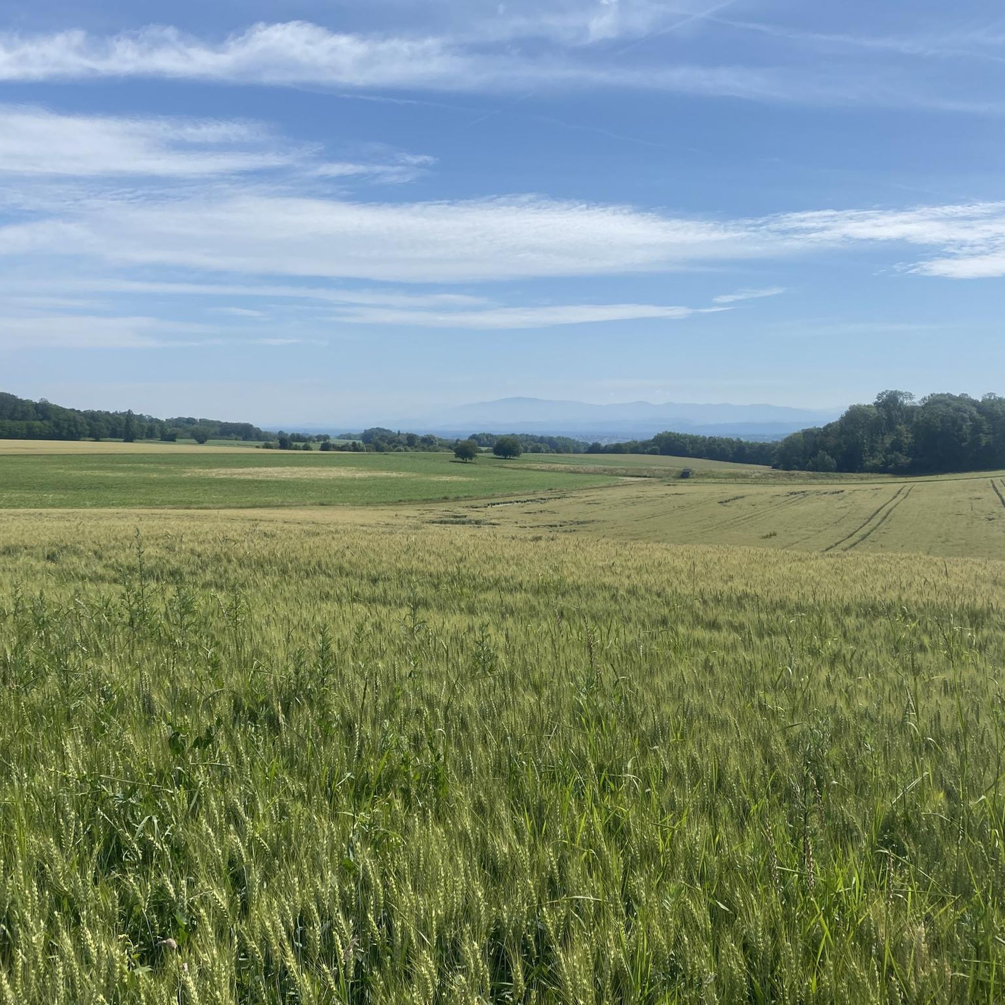
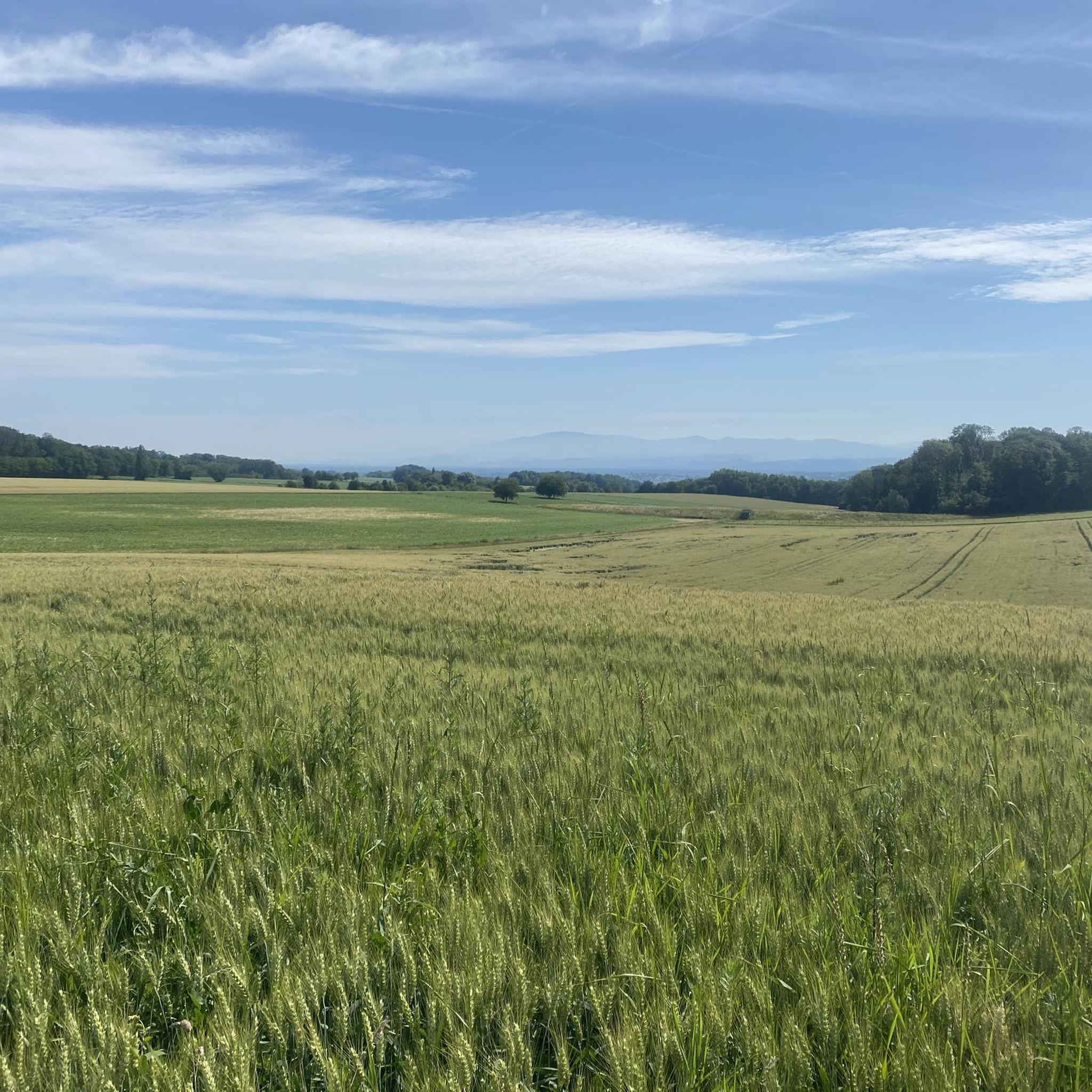
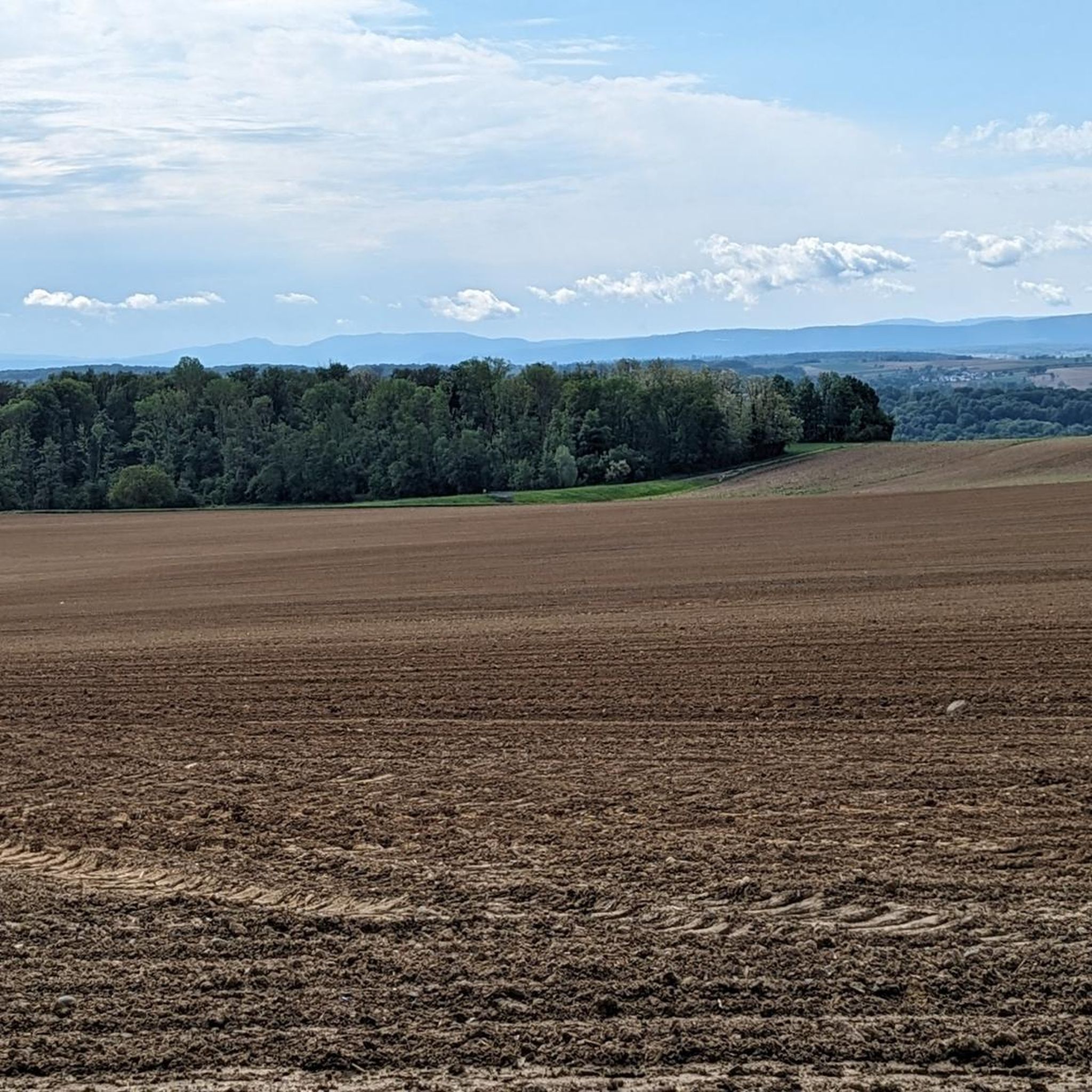
Road cycling routes around Lümschweiler benefit from the region's diverse terrain, including the flat, well-maintained paths along the Rhine-Rhone Canal and the rolling hills of the Sundgau. The area features extensive cycling networks that traverse the picturesque Ill and Largue River Valleys, offering tranquil routes often shaded and dotted with ponds. Cyclists can also find routes that provide views of the distant Vosges Mountains and opportunities for elevation gain in the Alsatian Jura massif.
Best road cycling routes around Lümschweiler
…Last updated: November 3, 2026
5.0
(2)
165
riders
112km
05:06
1,210m
1,210m
Hard road ride. Very good fitness required. Some segments of this route may be unpaved and difficult to ride.
4.3
(3)
55
riders
108km
04:33
530m
530m
Moderate road ride. Good fitness required. Some segments of this route may be unpaved and difficult to ride.

64
riders
103km
05:23
1,510m
1,510m
Hard road ride. Very good fitness required. Some segments of this route may be unpaved and difficult to ride.
5.0
(5)
55
riders
57.4km
02:20
250m
250m
Moderate road ride. Good fitness required. Mostly well-paved surfaces and easy to ride.
5.0
(1)
55
riders
106km
04:56
1,220m
1,220m
Hard road ride. Very good fitness required. Mostly well-paved surfaces and easy to ride.
Get access to more routes and recommendations from other explorers.
Already have an account?
Our route recommendations are based on thousands of hikes, rides, and runs completed by other people on komoot.
Start today with a free account
Your next adventure awaits.

Tips from the Community

Of the three sides of the Ballon d'Alsace, this is clearly the most difficult (the only one with gradients of 9-10%)... but it is certainly the most beautiful! The hairpin bends at the start of the climb before the Alfeld lake are sublime. The road then evolves along the mountainside, unfortunately no more hairpin bends, this section can seem long for some, the gradient remains between 8 and 9%. It decreases when you reach the Langenberg... you have done the difficult part, there are still 4 km to the top. After that, there is a mix of flat sections and climbs with a natural clearing 1 km from the top, from where you have a panoramic view of the valley.
7
0
Een schilderachtig stuwmeer langs de beklimming van de Ballon d'Alsace, omringd door de beboste hellingen van de Vogezen. 🚴⛰️🌲
8
0
A spectacular hairpin bend on the climb to the Ballon d'Alsace. As the road winds its way up the slope, beautiful views open up over the wooded valley of the Vosges.
7
0
A picturesque mountain lake at the foot of the Ballon d'Alsace, surrounded by forests and steep slopes. 🚴♂️🏞️⛰️
7
0
The Col du Hunsrück (748 m) is a quiet and wooded pass above Willer-sur-Thur. The steady climb and beautiful nature make this a pleasant classic in the southern Vosges, with connections to both the Thur and Dollervallei valleys.
6
0

Altkirch Altkirch is the historic capital of the Sundgau and lies on a striking rocky spur above the valley of the Ill. The town's origins date back to the Middle Ages. The Counts of Ferrette built Altkirch into a fortified town; from 1215 onwards, it was protected by town walls and towers. The characteristic layout, narrow streets, and remnants of the fortifications have been preserved from this medieval town plan to this day. Particularly worth seeing is the Vieille Porte, a former town gate from around 1245. For centuries, Altkirch was an important administrative and commercial center of the Sundgau. After the destructions of the Thirty Years' War, numerous buildings were newly erected. The representative town hall dates from the 18th century, built in 1778 according to plans by the Swabian architect Jean Nissler. In the 19th century, the town continued to develop: alongside its traditional importance as a market and trading place, industrial enterprises emerged, including the well-known Gilardoni brickworks. The 20th century also left its mark. After the First World War, Altkirch became part of the re-Frenchified Alsace. The memory of this period is evident, among other things, at the Vieille Porte, where a Borne Vauthier commemorates the former front line of 1918. The original Altkirch war memorial from 1927 was destroyed during the German occupation in the Second World War; preserved parts were later integrated into a new memorial. Today, Altkirch, with around 6,000 inhabitants, is an important center of the Sundgau. The historic upper town with its old houses, remnants of fortifications, the town hall, and the Sundgau Museum continues to shape the townscape. Source: Ville d’Altkirch – History of the town
0
0

Hartmannswiller Kopf - Menschenfresser Kopf ( 30000 senseless victims ) Symbol of horror ( 1914-1918 )
0
0

This old chapel was erected after the French Revolution on the old path to Thann and fell into disrepair over time. In 1932, the community decided to rebuild it. The current small building has a simple nave, an open porch, and a small bell tower with a bell. In front of the chapel stands a statue of the Virgin Mary, which underscores the character of the place as a pilgrimage and devotional site. The chapel is dedicated to the "Mother of God of Perpetual Help" and belongs to the typical small religious monuments of southern Alsace.
1
0
Frequently Asked Questions
How many road cycling routes are available around Lümschweiler?
There are over 260 road cycling routes around Lümschweiler, offering a wide variety of options for different skill levels and preferences. These routes explore the diverse landscapes of the Sundgau region and the Rhine-Rhone Canal.
What kind of terrain can I expect on road cycling routes in the Lümschweiler area?
The terrain around Lümschweiler is quite varied. You'll find flat, well-maintained paths along the Rhine-Rhone Canal, ideal for leisurely rides. The broader Sundgau region features rolling hills, offering scenic views and a pleasant cycling environment. For those seeking more challenging ascents, routes extend into the Alsatian Jura massif, providing opportunities for significant elevation gain.
Are there road cycling routes suitable for beginners or those looking for an easy ride?
Yes, Lümschweiler offers many easy road cycling routes. For instance, the Riverside open-air tavern – Pace along the canal loop from Walheim is an easy 18.9-mile (30.4 km) trail that follows flat, well-maintained paths alongside the canal. Another great option is the Eglingen Lock – Port of Dannemarie loop from Tagolsheim, an easy 19.8-mile (31.8 km) path exploring quiet secondary roads and canal-side scenery.
Can I find long-distance road cycling routes around Lümschweiler?
Absolutely. For cyclists looking for longer distances, the Rhône–Rhine Canal – Niffer Lock loop from Walheim is a moderate 66.9-mile (107.6 km) trail that leads through the Rhine-Rhone Canal area. The region's extensive network, including sections of the EuroVelo 6, also allows for extended rides.
Are there challenging road cycling routes with significant climbs near Lümschweiler?
Yes, for experienced cyclists seeking a challenge, routes venturing into the Alsatian Jura massif offer notable climbs. An example is the difficult Hundsruck – Climb to Col Amic loop from Illfurth, which features over 1500 meters of elevation gain over 102.7 km.
What scenic views can I expect along the road cycling routes?
Road cycling routes around Lümschweiler offer diverse scenic views. You can enjoy lush greenery along the canal-side paths, picturesque landscapes of the Ill and Largue River Valleys, and rolling hills of the Sundgau. From certain points, particularly near the Rhine-Rhone Canal, you can also catch fine panoramic vistas of the distant Vosges Mountains.
Are there any historical landmarks or attractions to see along the road cycling routes?
Yes, the routes often pass through charming traditional Sundgau villages with half-timbered houses. You can also explore historical features like the numerous locks along the Rhine-Rhone Canal, such as Zillisheim Drawbridge and Lock No. 35 or Eglingen Lock. For those interested in history, the Grand Cannon of Zillisheim is a notable nearby historical site.
What is the best time of year for road cycling in Lümschweiler?
The best time for road cycling in Lümschweiler is generally from spring through autumn. During these seasons, the weather is most favorable, allowing you to fully enjoy the lush greenery, charming villages, and comfortable temperatures. The region's varied terrain means routes are accessible for much of the year, but spring and fall offer particularly pleasant conditions.
Are there family-friendly road cycling options in the Sundgau region?
Yes, the Sundgau region, including areas around Lümschweiler, is well-suited for family-friendly cycling. The flat, well-maintained paths along the Rhine-Rhone Canal are particularly accessible for all ages. Many of the nine waymarked cycling routes in the region utilize dedicated cycle paths and quiet secondary roads, minimizing traffic and providing a safe environment for families.
What do other cyclists say about road cycling in Lümschweiler?
Road cycling in Lümschweiler is highly rated by the komoot community, with an average score of 4.5 stars from over 260 reviews. Cyclists often praise the region's diverse terrain, from the tranquil canal paths to the scenic rolling hills, and the well-maintained network of routes that cater to various ability levels.
Are there loop road cycling routes available around Lümschweiler?
Yes, many road cycling routes around Lümschweiler are designed as loops, allowing you to start and finish at the same point. Examples include the Riverside open-air tavern – Pace along the canal loop from Walheim and the Rhône–Rhine Canal – Niffer Lock loop from Walheim, providing convenient options for exploring the area.
Where can I find parking for road cycling routes in Lümschweiler?
Parking is generally available in and around the charming villages that serve as starting points for many routes. For routes along the Rhine-Rhone Canal, you can often find parking near the locks or in nearby towns like Walheim or Tagolsheim, which are common access points for these trails.
Are there places to stop for refreshments or meals along the road cycling routes?
Yes, the cycling routes often pass through traditional Sundgau villages, which are ideal spots for cultural and gastronomic stops. You'll find opportunities to sample local specialties and enjoy refreshments in cafes and restaurants. The canal-side routes also feature charming former lock houses, some of which may offer services.
Most popular routes around Lümschweiler
Most popular attractions around Lümschweiler

Get inspired with the komoot mobile app


Explore more
Browse the best Road cycling routes in other regions.
