The best running trails around Le Sappey-En-Chartreuse
4.3
(10)
1,056
runners
25
runs
Jogging around Le Sappey-En-Chartreuse, situated at an altitude of 1,000 meters within the Chartreuse Regional Nature Park, offers access to a diverse mountain environment. The region is characterized by dense forests, expansive meadows, and dramatic limestone cliffs, with Chamechaude Mountain forming a prominent backdrop. Pine forests and mountain pastures are common features, providing varied terrain for running.
Best jogging routes around Le Sappey-En-Chartreuse
- The most popular jogging route is Ut4M 20 Chartreuse, a 10.4 miles (16.8 km) trail that…
Last updated: July 11, 2026
5.0
(2)
457
runners
16.8km
02:16
590m
1,360m
Hard run. Very good fitness required. Sure-footedness, sturdy shoes and alpine experience required.
4.0
(1)
51
runners
9.05km
01:46
590m
590m
Hard run. Very good fitness required. Sure-footedness, sturdy shoes and alpine experience required.

Sign up for free
27
runners
9.68km
01:40
610m
610m
Hard run. Very good fitness required. Sure-footedness, sturdy shoes and alpine experience required.
5.0
(2)
65
runners
Hard run. Very good fitness required. Sure-footedness, sturdy shoes and alpine experience required.
40
runners
Hard run. Very good fitness required. Sure-footedness, sturdy shoes and alpine experience required.
Get access to more routes and recommendations from other explorers.
Sign up for free
Already have an account?
Our route recommendations are based on thousands of hikes, rides, and runs completed by other people on komoot.
Start today with a free account
Your next adventure awaits.
Login or Signup
Popular around Le Sappey-En-Chartreuse
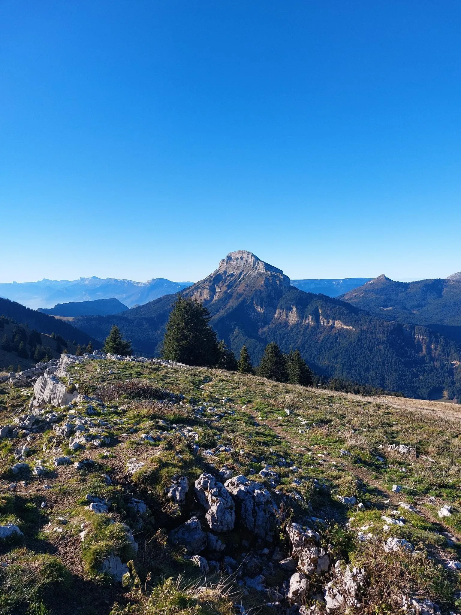
Summits, plateaus and panoramas — 20 trail outings in Chartreuse
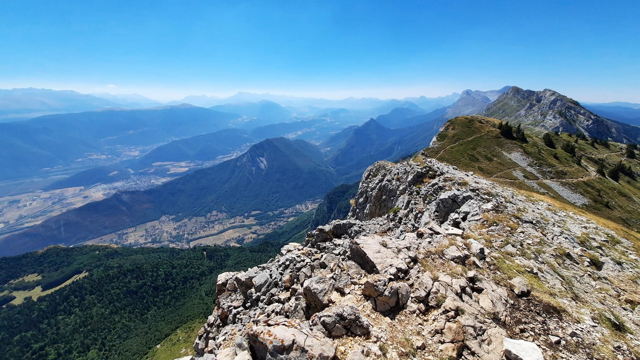
The Alps trail – UT4M off
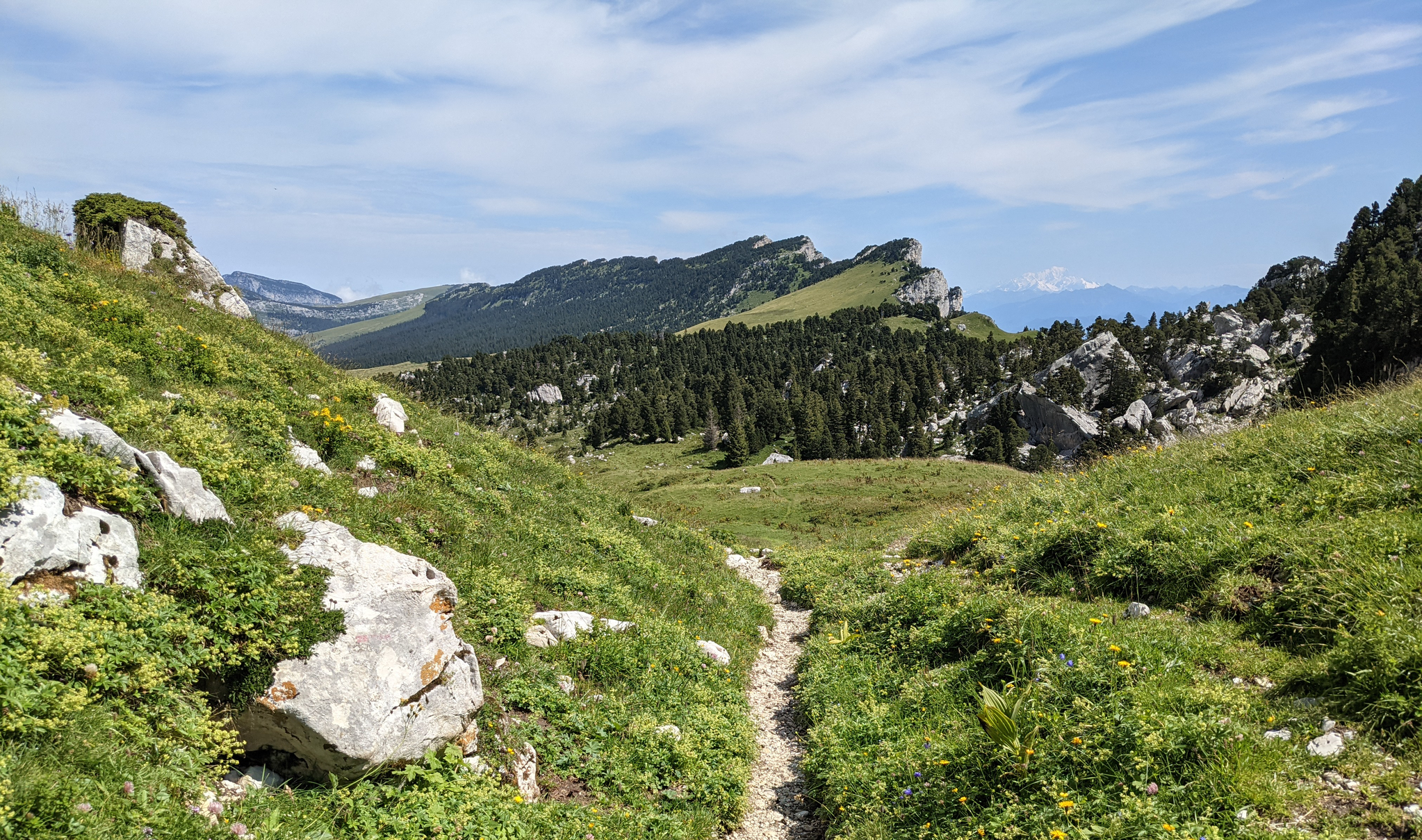
Crossing the Chartreuse – History in the making
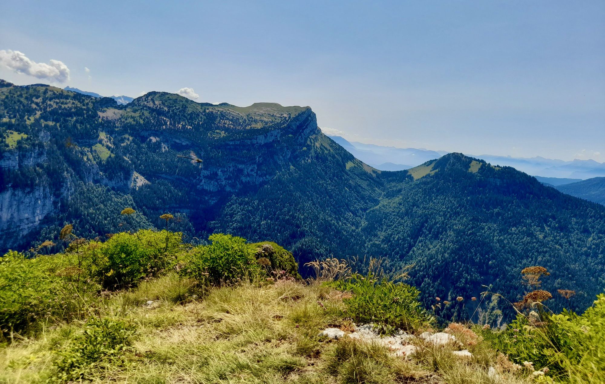
From Chambéry to Grenoble — the Trans-Chartreuse in France
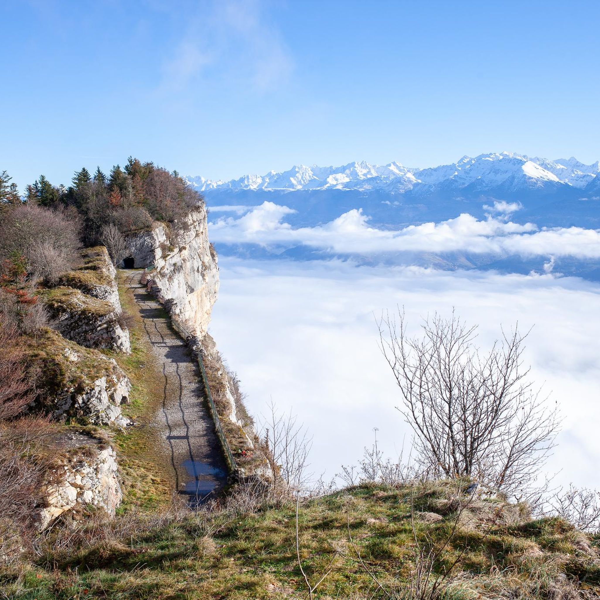
Road Cycling Routes around Le Sappey-En-Chartreuse
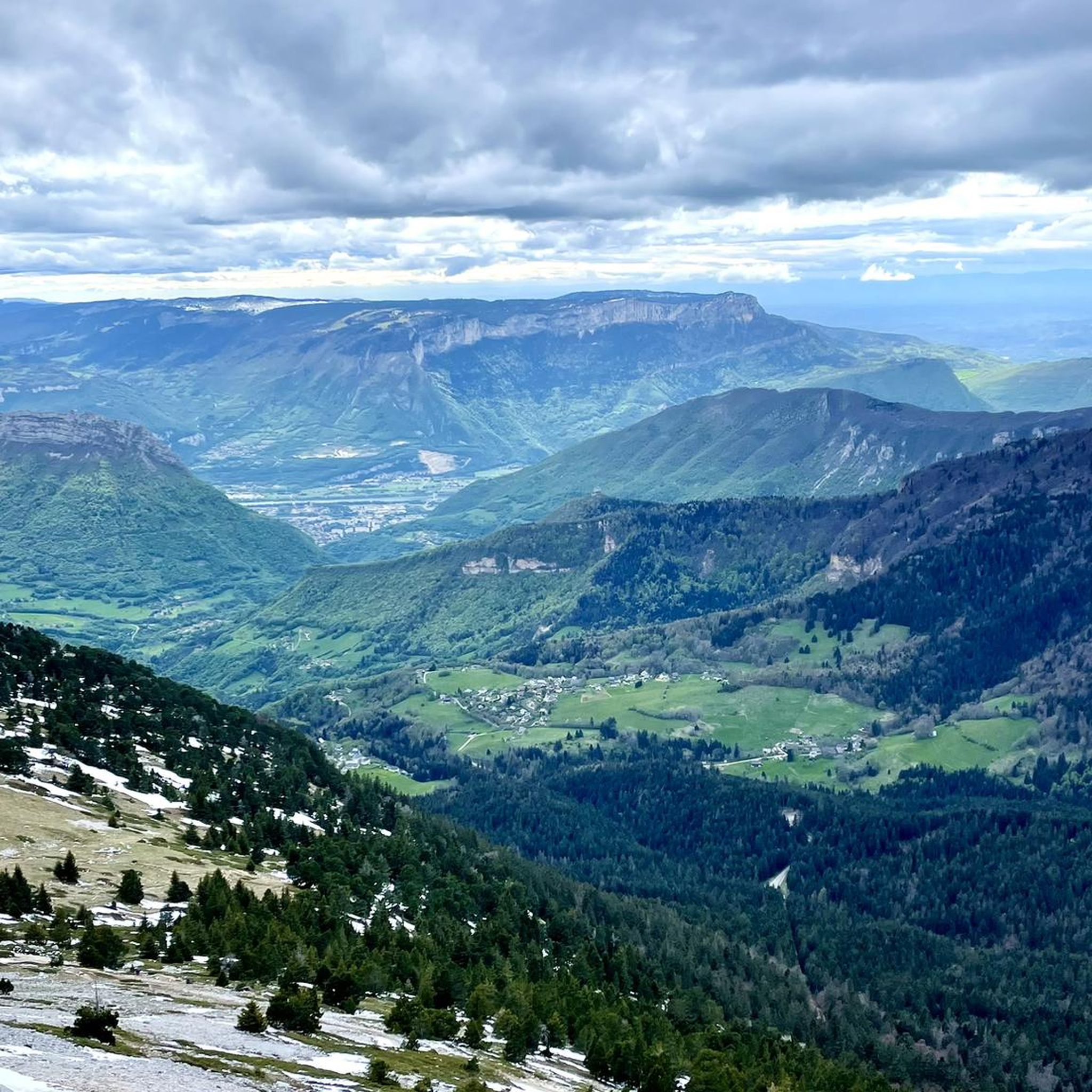
Hiking around Le Sappey-En-Chartreuse
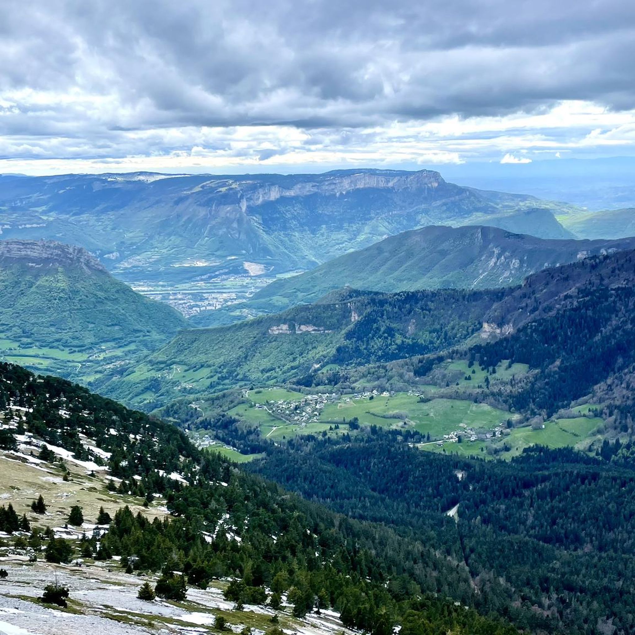
Cycling around Le Sappey-En-Chartreuse

Gravel biking around Le Sappey-En-Chartreuse
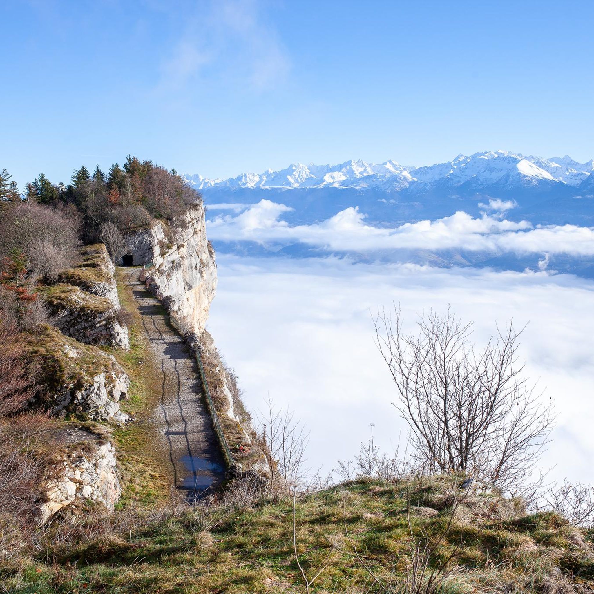
MTB Trails around Le Sappey-En-Chartreuse

Mountain Hikes around Le Sappey-En-Chartreuse
Other adventures around Le Sappey-En-Chartreuse


Tips from the Community

with a beautiful view of the Isère and the citadel
0
0

Lovely pedestrian bridge with a beautiful view of the Isère river
0
0

very pretty little church
0
0


Le Sappey-en-Chartreuse is nestled at the foot of Chamechaude, the highest point in the Chartreuse region at 2,082 meters above sea level. Peaceful and authentic, the village offers a wide range of sports activities, including summer and winter activities.
0
0


Beautifully restored fort with a good restaurant
2
0
Frequently Asked Questions
How many running routes are available in Le Sappey-En-Chartreuse?
Le Sappey-En-Chartreuse offers over 25 dedicated running routes. These trails vary in difficulty, providing options for different experience levels within the stunning Chartreuse Regional Nature Park.
What is the overall difficulty level of running trails in Le Sappey-En-Chartreuse?
The majority of running trails in Le Sappey-En-Chartreuse are considered challenging, with 21 difficult routes. There are also 4 moderate options, but no easy routes are specifically listed, indicating a focus on more demanding terrain with significant elevation changes.
Are there any circular running routes in the area?
Yes, many routes in Le Sappey-En-Chartreuse are designed as loops. For example, the Fort Saint-Eynard loop from Le Sappey-en-Chartreuse is a challenging 8.1 km circular path offering great views. Another option is the Le Sappey-en-Chartreuse – Habert of l'Émeindras loop, which covers about 10 km.
What natural features or landmarks can I see while running in Le Sappey-En-Chartreuse?
Runners can enjoy diverse landscapes including dense forests, expansive mountain pastures, and dramatic limestone cliffs. Notable landmarks include the historic Fort of Saint-Eynard, offering panoramic views of the Grenoble basin. You might also encounter views of Chamechaude, the highest peak in the Chartreuse massif, and the Col de Porte.
Are there challenging trails for experienced runners seeking significant elevation?
Absolutely. Le Sappey-En-Chartreuse is known for its challenging terrain. Routes like Ut4M 20 Chartreuse, a 16.8 km trail, feature significant elevation gain through the Chartreuse massif. The area's location within the Chartreuse Regional Nature Park, with peaks like Chamechaude, provides ample opportunities for demanding trail running.
What do other runners enjoy most about jogging in Le Sappey-En-Chartreuse?
The running routes in Le Sappey-En-Chartreuse are highly rated by the komoot community, with an average score of 4.2 stars from over 11 reviews. Runners often praise the diverse mountain environment, the stunning panoramic views, and the extensive network of trails that cater to various levels of challenge.
Are there any running routes with particularly great views?
Many routes offer breathtaking views. The Fort Saint-Eynard trail, for instance, leads to the historic fort and provides panoramic vistas of the Grenoble basin, the Belledonne massif, and the Grésivaudan valley. On clear days, you might even catch a glimpse of Mont Blanc from higher elevations.
Can I bring my dog on the running trails in Le Sappey-En-Chartreuse?
Le Sappey-En-Chartreuse is part of the Chartreuse Regional Nature Park, which generally welcomes dogs on trails, often on a leash to protect local wildlife and livestock. It's always best to check specific trail regulations or local signage, especially in sensitive natural areas like the Marais des Sagnes, to ensure a dog-friendly experience.
What is the best time of year for running in Le Sappey-En-Chartreuse?
The warmer months, from late spring to early autumn, are ideal for running in Le Sappey-En-Chartreuse. During this period, the extensive network of marked hiking trails transforms into excellent running paths. The Nordic Area of Chamechaude, primarily used for cross-country skiing in winter, also becomes perfect for running and Nordic walking in summer.
Where can I park my car near the running routes in Le Sappey-En-Chartreuse?
Le Sappey-En-Chartreuse is well-equipped for visitors. You can typically find parking in and around the village center, which serves as a common starting point for many trails. Specific trailheads, especially those leading to popular areas like Chamechaude or the Fort Saint-Eynard, often have designated parking areas.
Are there any long-distance running options for endurance training?
Yes, the region offers options for longer runs. The Ut4M 20 Chartreuse route, at 16.8 km, provides a substantial challenge. The extensive network of interconnected trails, including those within the Nordic Area of Chamechaude, allows for combining segments to create longer, customized endurance routes.
Is Le Sappey-En-Chartreuse suitable for winter running?
While the area is known for winter sports like cross-country skiing, some trails may be suitable for winter running, especially lower elevation paths or those that are well-maintained. However, higher altitude routes can be snow-covered and require appropriate gear and caution. The Nordic Area of Chamechaude is primarily for skiing in winter, so check conditions before heading out.
Most popular routes around Le Sappey-En-Chartreuse
Most popular attractions around Le Sappey-En-Chartreuse

Get inspired with the komoot mobile app


Explore more
Browse the best Running Trails & Routes in other regions.
