The best walks and hikes around Illfurth
4.6
(141)
806
hikers
26
hikes
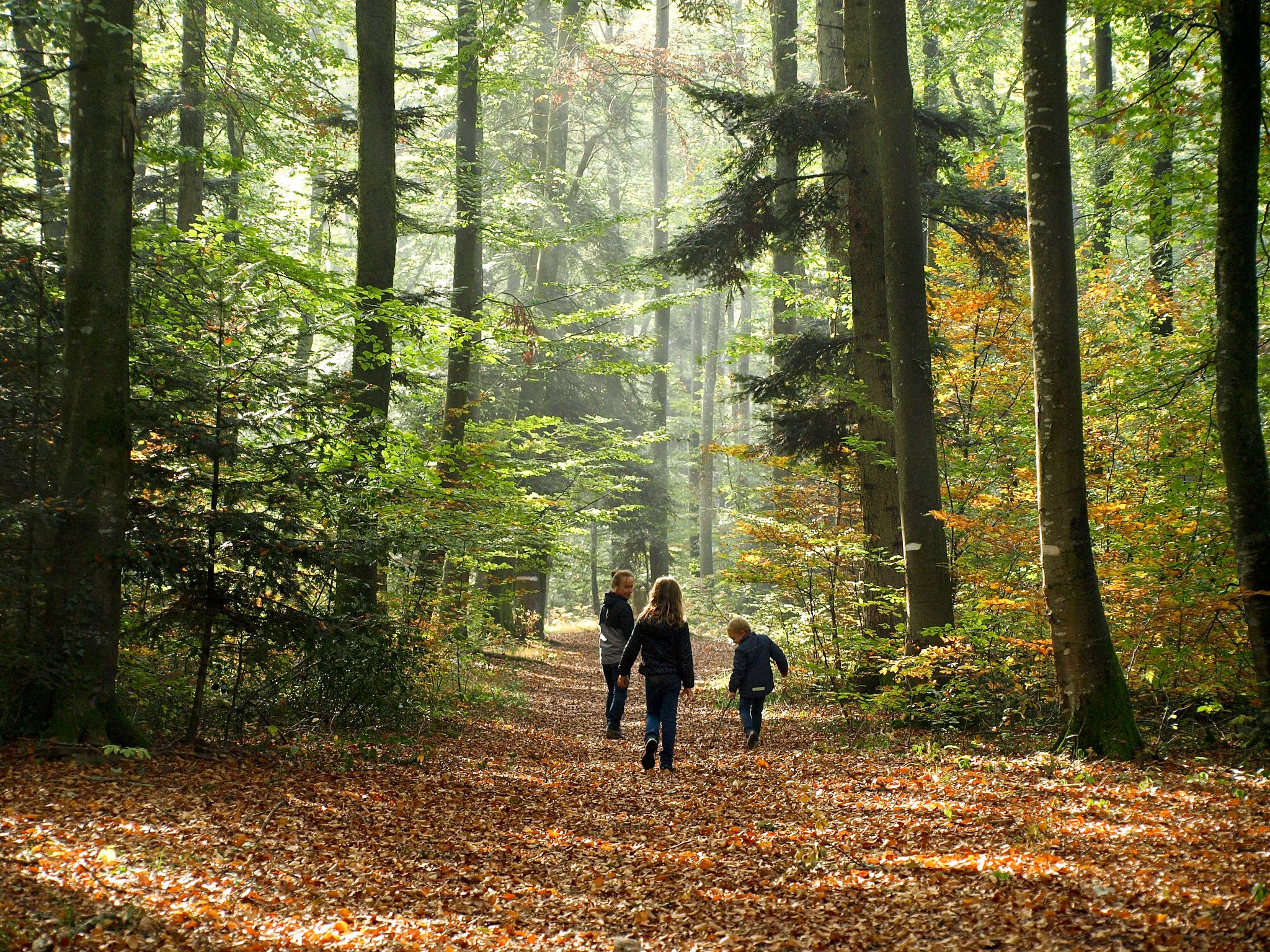
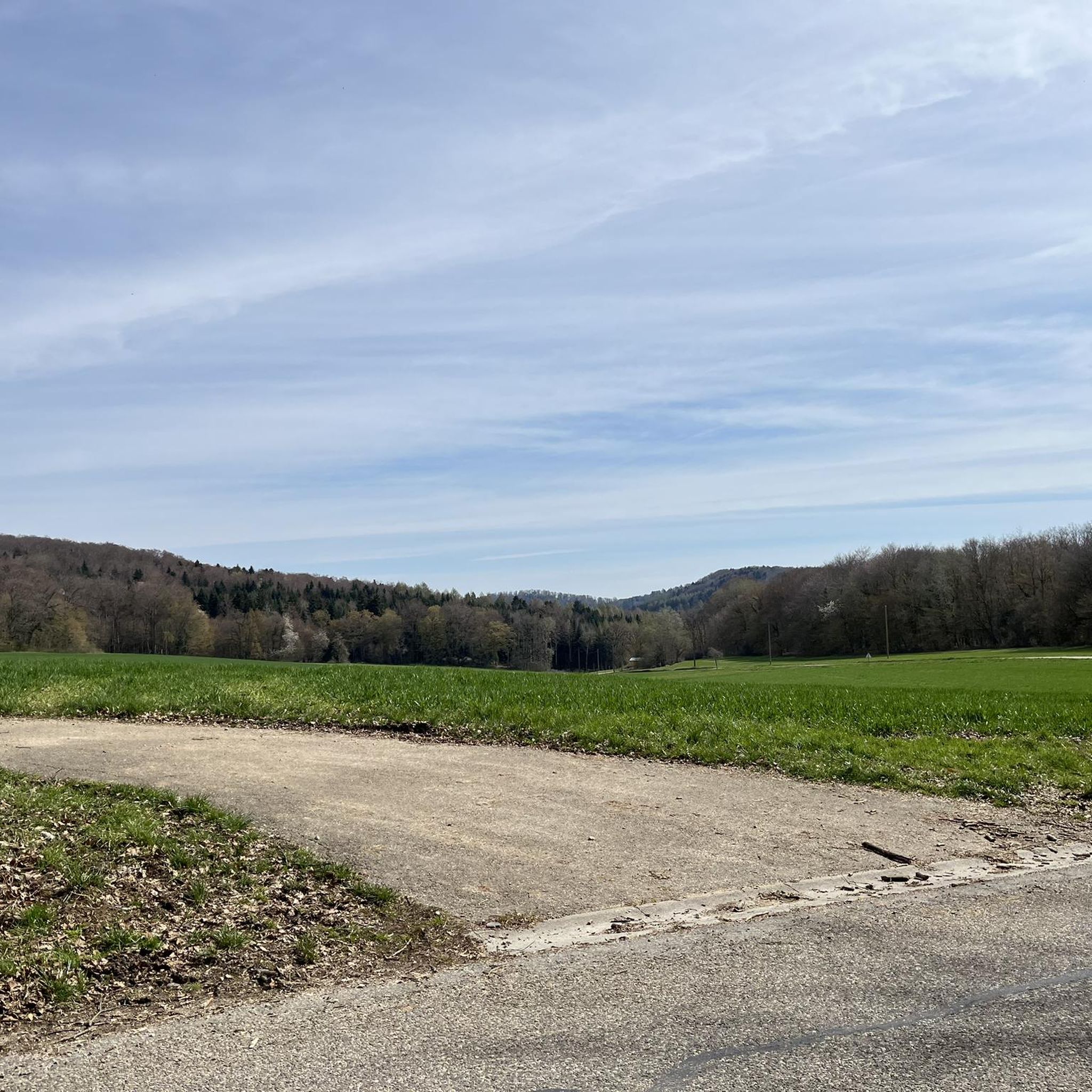
Hiking around Illfurth offers a network of trails through varied terrain. The region features rolling hills and rural landscapes, with routes often passing through forests and open fields. Elevations are generally moderate, providing accessible hiking experiences. The area's trails connect villages and offer views of the surrounding countryside.
Best hiking trails around Illfurth
- The most popular hiking route is Illfurth and the Britzgyberg, a 7.4 miles (11.9 km) trail that takes 3 hours 21 minutes to complete. This moderate…
Last updated: November 1, 2026
4.4
(5)
28
hikers
11.9km
03:22
250m
250m
Moderate hike. Good fitness required. Easily walkable paths.
4.9
(8)
46
hikers
8.27km
02:19
160m
160m
Moderate hike. Good fitness required. Easily walkable paths.

4.8
(6)
22
hikers
9.99km
02:50
230m
230m
Moderate hike. Good fitness required. Easily walkable paths.
4.5
(6)
28
hikers
4.97km
01:24
100m
100m
Easy hike. Easily walkable paths.
4.6
(5)
31
hikers
9.82km
02:47
220m
220m
Moderate hike. Good fitness required. Easily walkable paths.
Get access to more routes and recommendations from other explorers.
Already have an account?
Our route recommendations are based on thousands of hikes, rides, and runs completed by other people on komoot.
Start today with a free account
Your next adventure awaits.


Other adventures around Illfurth

Tips from the Community


The cannon must have been huge. It had a range of up to 40 km. It terrorized the inhabitants of Belfort. This was the response to the bombing of Freiburg, among other places. It was then used as a feint to distract from the attack on Verdun.
0
0
The German soldiers who died in the Battle of Mühlhausen in August 1914 are buried there, including the first casualty of World War I. It's a bit off the beaten track and very well maintained.
0
0

Beneath the forest canopy, you can discover numerous traces of bygone times, still visible or legible; only the "barracks" have disappeared. During a guided tour with one of the site's enthusiastic volunteers, you can explore the underground tunnels and discover the organization of this impressive military infrastructure. Of course, you can also visit the surface infrastructure yourself, following the marked route, where the panels provide detailed explanations. An application, "Site du Grand Canon de Zillisheim," is also available for download.
5
0
In 1720, the religious building was recorded as a ruin. Reconstruction work began in 1765. The chapel was destroyed during the Revolution and rebuilt in 1870, expanded in 1925, and the last restoration was carried out in 1998.
5
0
The Illfurth German War Cemetery was established by the French military authorities in April 1920. As a collective cemetery, it housed some of the fallen soldiers from the battles of August 7 and 17, 1914. The transfer of war dead to Illfurth, who had been provisionally buried in 64 municipalities and districts during the war or who had died in French captivity, ended in 1924. Among those reburied was the first German casualty of the 1914-1918 War on the Western Front, Lieutenant Albert Mayer, who fell on August 2, 1914, while on patrol. The first French soldier also lost his life in this battle. Several memorials erected in field cemeteries during the war were also relocated to Illfurth.
8
0

The 38 cm Schnellladekanone L/45 (38 cm S.K. L/45) was a gun used by the Imperial Navy and the German Army during World War I. Originally designed as a naval gun, it was also used on land under the designation 38 cm Geschütz Max or Langer Max. The "38 cm SK L/45" had a barrel with an inner diameter of 38 cm, making it one of the largest calibers used at the time. Its range was up to 48 km. Between 1915 and 1916, the German army installed a naval gun called the "Langer Max" in the Zillisheim Forest. This gun, designed to fire long bursts at Belfort and the Saint Amarin Valley, was actually a diversionary plan....
1
0

This site is the location of a “KW” cannon of the “Kaiser Wilhelm Geschutze” or “Max le long” type whose mission, during the First World War, was to fire large detonations at Belfort to provide a diversion during attacks. on Verdun and the forts of Vaux and Douaumont.
2
0
Frequently Asked Questions
How many hiking trails are available around Illfurth?
Illfurth offers a diverse network of over 25 hiking trails. These routes cater to various preferences, ranging from easy strolls to more moderate excursions through the region's rolling hills and rural landscapes.
Are there easy hiking trails suitable for beginners or families in Illfurth?
Yes, Illfurth has 11 easy hiking trails, perfect for beginners or families. An example is the Grand Cannon of Zillisheim loop from Illfurth, which is about 3.1 miles (5.0 km) long and features moderate elevation changes, making it an accessible option.
What is the typical length and duration of hikes in Illfurth?
Hiking trails in Illfurth vary in length and duration. Easy routes can be as short as 3 miles (5 km) taking around 1.5 hours, while moderate trails like the Luemschwiller loop from Illfurth can be up to 6.1 miles (9.8 km) and take over 3 hours to complete. The region's trails generally offer accessible hiking experiences with moderate elevations.
What kind of scenery can I expect on the hiking trails around Illfurth?
The hiking trails around Illfurth are characterized by rolling hills, picturesque rural landscapes, and historical paths. You'll often find yourself walking through forests and open fields, with routes connecting charming villages and offering views of the surrounding countryside.
What do other hikers enjoy most about the trails in Illfurth?
The komoot community highly rates the trails in Illfurth, with an average score of 4.6 stars from over 120 reviews. Hikers often praise the varied terrain, the well-maintained paths, and the blend of natural beauty with historical points of interest.
Are there any historical landmarks or points of interest along the hiking routes?
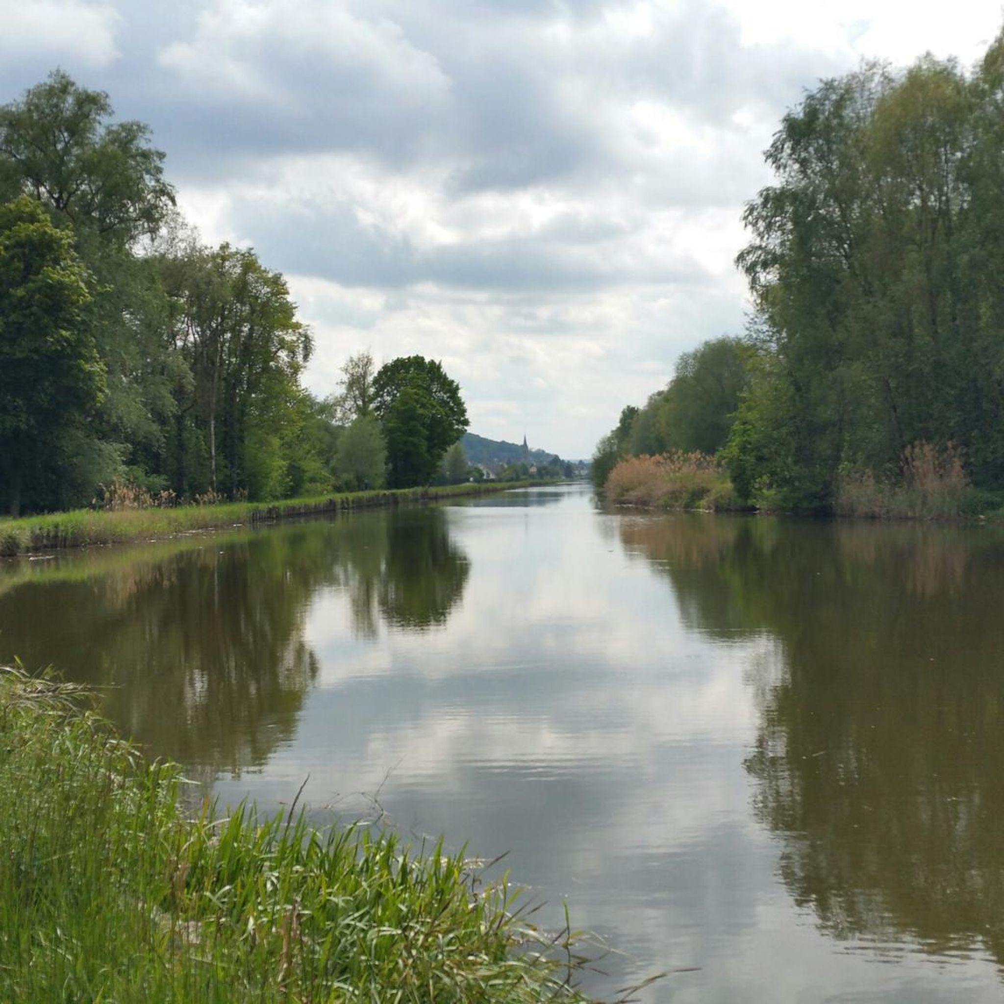
Yes, the region is rich in history. Many trails pass by significant sites. For example, the Saint-Brice Chapel – Grand Cannon of Zillisheim loop from Illfurth leads through historical landmarks. You can also explore highlights like the Grand Cannon of Zillisheim or the Zillisheim Drawbridge and Lock No. 35.
What natural attractions can be found near the hiking trails?
Beyond the trails themselves, Illfurth's surroundings feature several natural monuments. Hikers can discover places like the Steinbach Square, the Ziehlbrunnen Spring, and The Great Oak, offering tranquil spots to explore.
Is it possible to find circular hiking routes in Illfurth?
Many of the hiking routes in Illfurth are designed as loops, allowing you to start and end at the same point. The Sentier 14/18 loop from Heidwiller is a popular moderate option that explores historical paths.
What is the best season for hiking in Illfurth?
The best seasons for hiking in Illfurth are generally spring and autumn. During these times, the weather is mild, and the natural scenery is particularly vibrant with blooming flowers or colorful foliage. Summer can also be pleasant, though it's advisable to start earlier in the day to avoid the midday heat.
Are dogs allowed on the hiking trails in Illfurth?
Generally, dogs are welcome on most hiking trails in the Illfurth region, provided they are kept on a leash and owners clean up after them. It's always a good idea to check specific trail regulations or local signage, especially in nature reserves or protected areas.
Are there any hiking trails that offer views from higher points?
Yes, some trails provide excellent viewpoints. The Illfurth and the Britzgyberg route, for instance, offers rewarding views from the Britzgyberg hill, showcasing the surrounding countryside.
Most popular attractions around Illfurth

Get inspired with the komoot mobile app


Explore more
Browse the best Hikes in other regions.
