The 9 Most Amazing Peaks around Saint-Joseph-De-Rivière
Best mountain peaks around Saint-Joseph-De-Rivière are found within the Chartreuse Regional Nature Park in Isère, France. This region features dense forests, alpine meadows, and dramatic rocky cliffs. It offers diverse experiences for hikers and nature enthusiasts, with several notable elevated points.
Best mountain peaks around Saint-Joseph-De-Rivière
- The most popular mountain peaks is Chamechaude, a summit that is the highest peak of the Chartreuse massif at 2082 meters. It offers exceptional 360-degree views of the entire region and surrounding massifs. …
Last updated: October 10, 2026
Chamechaude
Highlight • Summit
Translated by Google •
Tip by

Charmant Som summit
Highlight • Summit
Translated by Google •
Tip by

Sign up now to discover places like this
Get recommendations on the best single tracks, peaks, & plenty of other exciting outdoor places.
La Grande Sure
Highlight • Summit
Translated by Google •
Tip by
La Pinéa
Highlight • Summit
Translated by Google •
Tip by

Grand Som
Highlight • Summit
Translated by Google •
Tip by
Sign up for free to discover even more peaks around Saint-Joseph-De-Rivière.
Already have an account?
Start today with a free account
Your next adventure awaits.
Popular around Saint-Joseph-De-Rivière
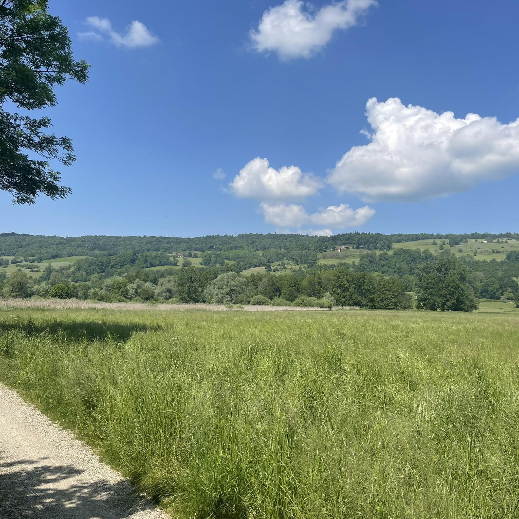
Road Cycling Routes around Saint-Joseph-De-Rivière
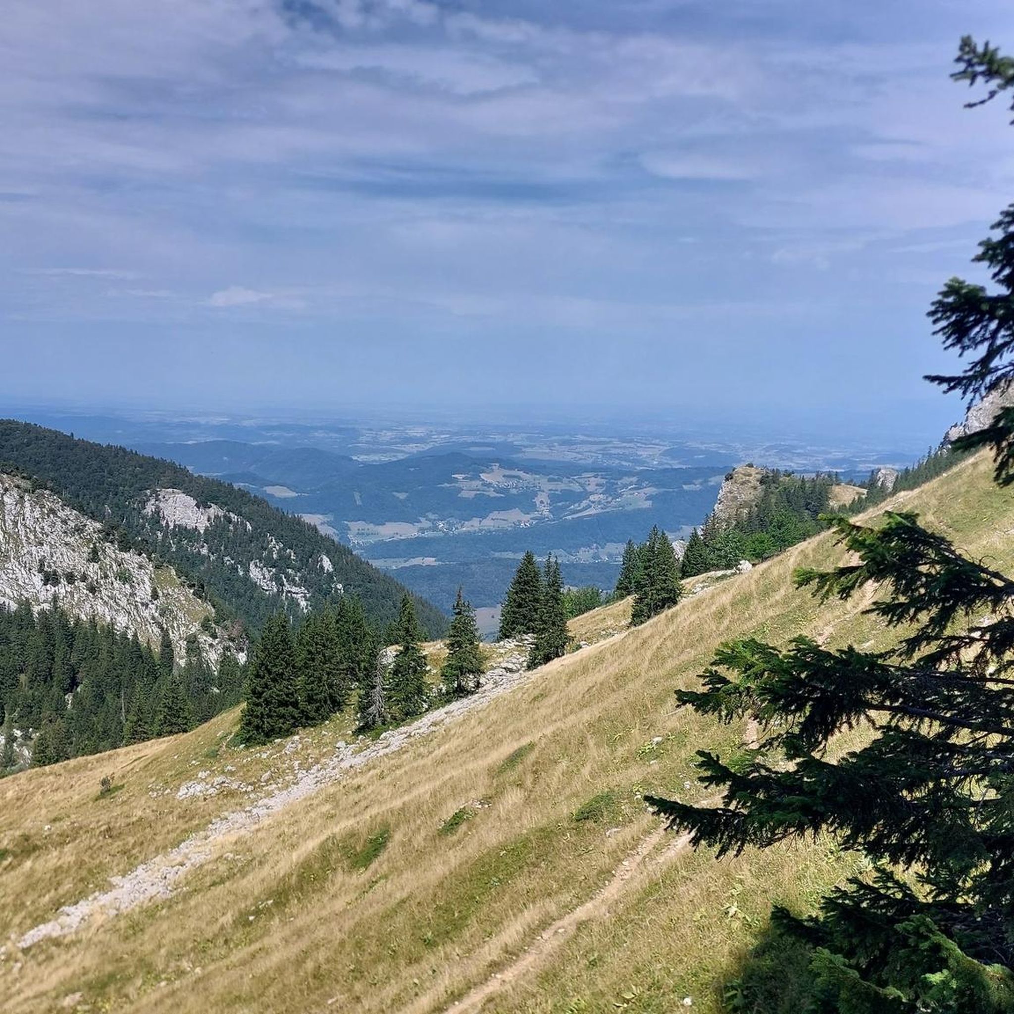
Cycling around Saint-Joseph-De-Rivière
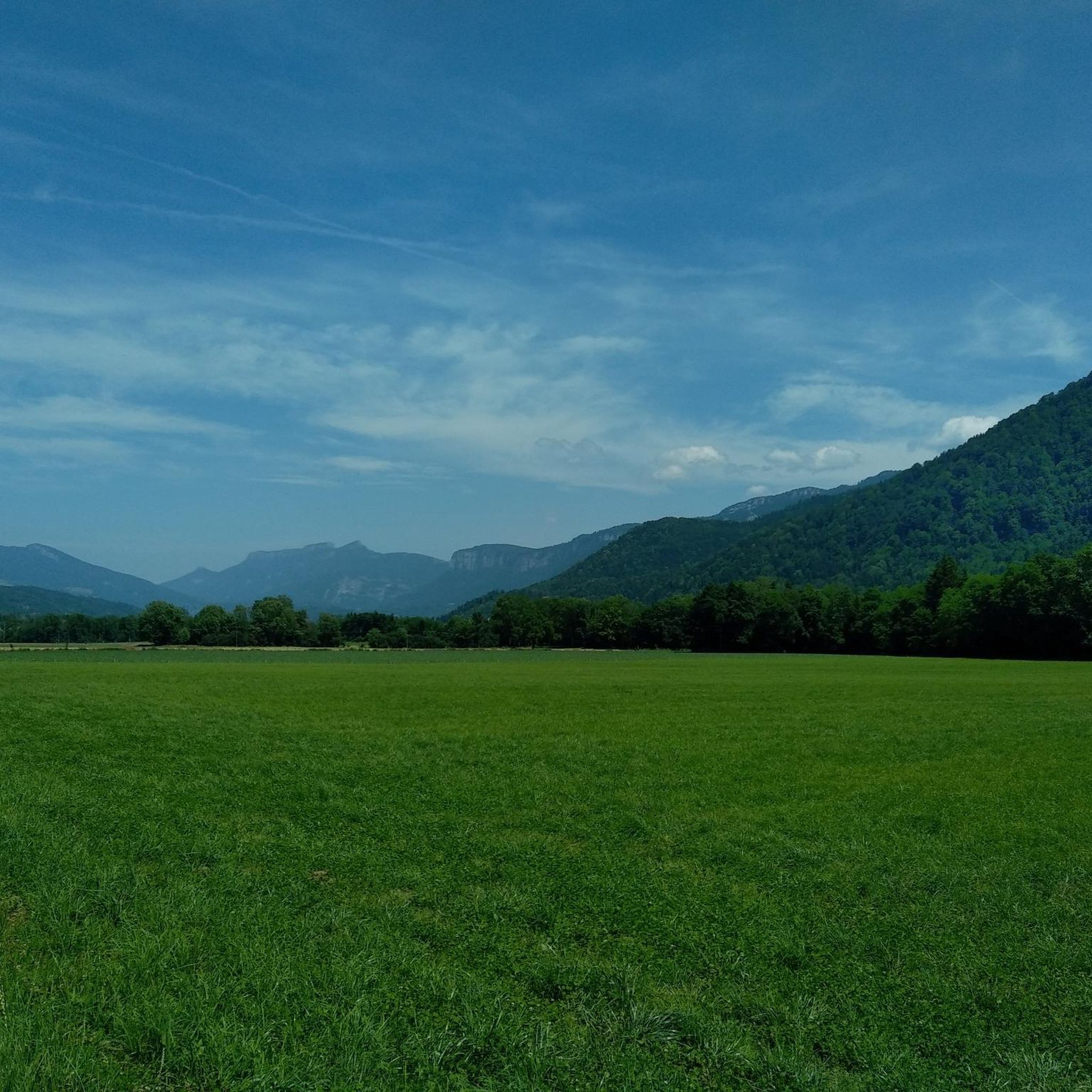
Hiking around Saint-Joseph-De-Rivière
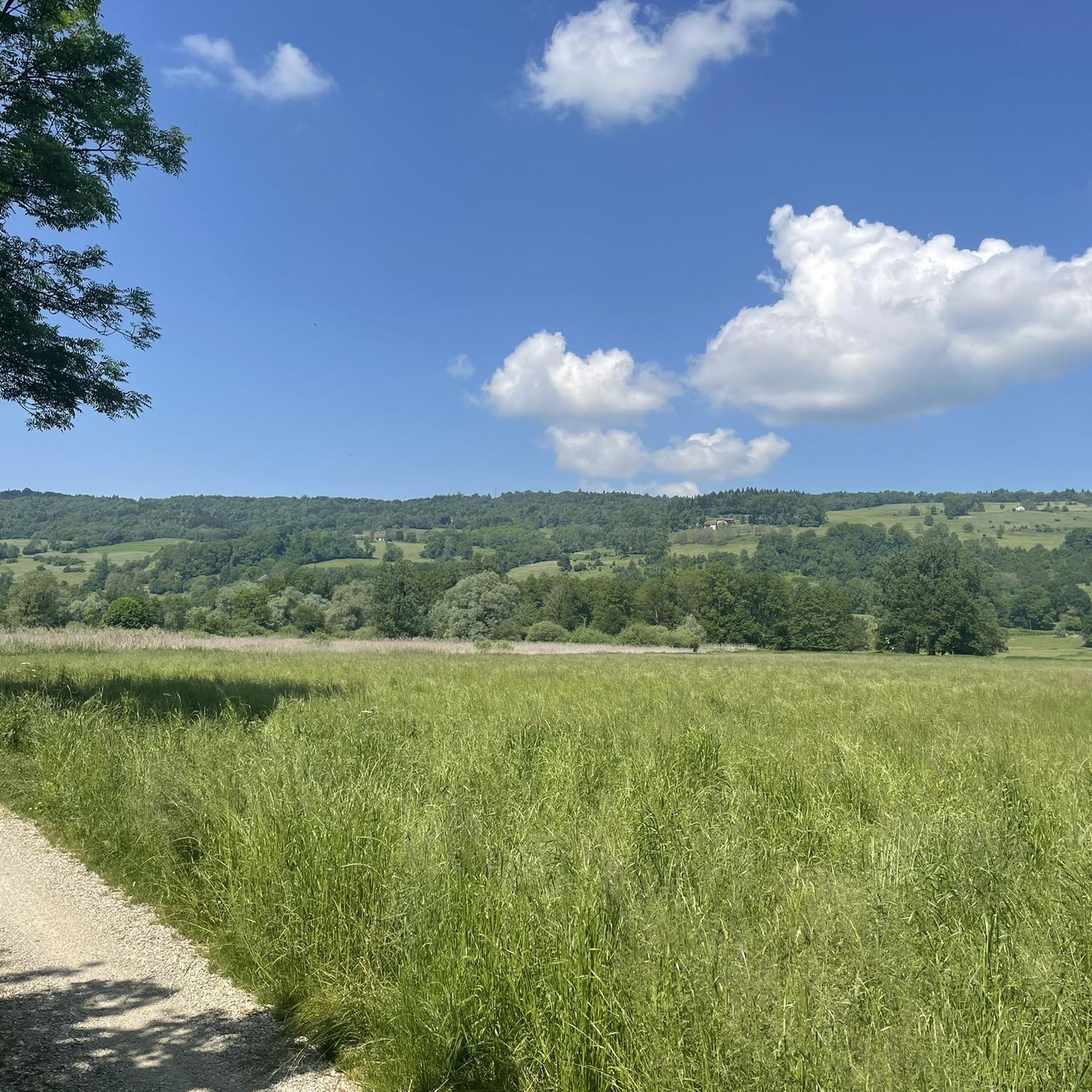
MTB Trails around Saint-Joseph-De-Rivière

Mountain Hikes around Saint-Joseph-De-Rivière
Gravel biking around Saint-Joseph-De-Rivière
Running Trails around Saint-Joseph-De-Rivière
Tips from the Community

Exceptional panoramic view of the Chartreuse, Voiron and Mont Blanc.
0
0

Very beautiful summit with a 360 degree panorama.
0
0


Easy and very pretty, a 360° as we like them in Chartreuse
0
0

The Grande Sure is one of the highest peaks in the Chartreuse. Culminating at 1,920 meters above sea level, it dominates the west of the massif, offering superb panoramas.
1
0
La Pinéa is a pretty rocky summit which is located in the middle of the Chartreuse at 1,771 meters above sea level. It offers numerous views of the highest mountains of the massif.
1
0
Culminating at 2,082 meters above sea level, Chamechaude is the highest point of the Chartreuse massif. Easily accessible from the Col de Porte, it offers an exceptional 360-degree view. You can see a beautiful part of the massif as well as those in the surrounding area. On a clear day, the view extends to the highest Alpine peaks.
1
0
Frequently Asked Questions
What are some of the most popular mountain peaks to visit around Saint-Joseph-De-Rivière?
Among the most popular peaks in the Chartreuse massif accessible from Saint-Joseph-De-Rivière are Chamechaude, the highest peak offering exceptional 360-degree views, and Charmant Som summit, known for its spectacular panorama and abundance of flowers. Another significant peak is La Grande Sure, which provides breathtaking vistas and opportunities to spot chamois.
Are there challenging mountain routes for experienced hikers near Saint-Joseph-De-Rivière?
Yes, for experienced hikers, La Grande Sure offers challenging routes, including a 10.1-mile loop from Saint-Julien-de-Ratz taking over 9 hours, or a 1420-meter ascent from Saint-Joseph-de-Rivière. The Dent de Crolles also presents a rewarding, albeit technical, ascent with sections requiring cables, best undertaken in dry weather.
Which peaks offer the best panoramic views of the region?
Many peaks in the area boast superb views. Chamechaude, as the highest point, provides an exceptional 360-degree panorama. From the Charmant Som summit, you can enjoy a spectacular view of the Chartreuse massif. Dent de Crolles offers superb belvedere views of other Chartreuse summits, the Grésivaudan valley, and distant mountain chains like Belledonne and Vercors. Even the lower Rocher de la Garde provides a pleasant panorama of surrounding villages and La Grande Sure.
What unique natural features can I observe on the mountains around Saint-Joseph-De-Rivière?
The region is rich in natural features. On La Grande Sure, you might spot chamois in its steeper sections. Dent de Crolles is unique for housing the Réseau de la Dent de Crolles, one of Europe's most complex and longest underground cave systems. Rocher de la Garde features unusual geological origins and distinctive lapiaz formations (karst pavements with deep crevices) near its summit.
Are there any easier or family-friendly mountain hikes near Saint-Joseph-De-Rivière?
While many peaks are challenging, the Rocher de la Garde offers a shorter, more accessible option. A loop hike from Saint-Joseph-de-Rivière is about 8.45 km with 439 meters of elevation change, taking around 2 hours. The ascent to Charmant Som summit from the inn of the same name is also considered less difficult, especially since a road leads part of the way.
What kind of geology characterizes the mountains near Saint-Joseph-De-Rivière?
The mountains in this region, particularly within the Chartreuse Regional Nature Park, are primarily composed of limestone. La Grande Sure is mainly Fontanil limestone. Dent de Crolles is an emblematic karstic mountain, entirely hollowed out by an extensive cave system. Rocher de la Garde has a unique geological origin, with its base originating from the Jura region, and features lapiaz formations.
What outdoor activities can I do near these mountain peaks besides hiking?
Beyond hiking, the area around Saint-Joseph-De-Rivière offers various outdoor activities. You can explore gravel biking routes like the 'Via chartreuse – Canal de l'Herretang loop' (Gravel biking around Saint-Joseph-De-Rivière), or enjoy cycling on routes such as the 'Via chartreuse – Roman Bridge of the Chartreuse loop' (Cycling around Saint-Joseph-De-Rivière). There are also MTB trails, including the 'Canal de l'Herretang – Old Saint-Martin Bridge loop' (MTB Trails around Saint-Joseph-De-Rivière).
What do visitors enjoy most about the mountain peaks around Saint-Joseph-De-Rivière?
Visitors frequently praise the breathtaking panoramic views from the summits, especially the 360-degree vistas from Chamechaude and the superb panoramas from Charmant Som summit. The chance to observe local wildlife like chamois on La Grande Sure, and the unique geological formations, also contribute to a memorable experience.
Can I find less crowded mountain trails in the area?
While popular peaks attract many, exploring routes to summits like Petit Som or Piénom (1615 m) might offer a more tranquil experience. Piénom, for instance, features a beautiful single track through dense forest, providing glimpses of the surrounding landscapes away from the busiest spots.
Are there any specific safety considerations for hiking the higher peaks?
For higher peaks like Dent de Crolles, the ascent can be technical in parts, including sections with cables, and is best undertaken in dry weather due to eroded rock in the upper sections. Always be prepared for varying terrain and weather conditions in the mountains, especially on challenging routes to summits like La Grande Sure.
What is the highest peak in the Chartreuse massif accessible from Saint-Joseph-De-Rivière?
The highest peak of the Chartreuse massif is Chamechaude, culminating at 2082 meters. It offers an exceptional 360-degree view of the entire region and surrounding massifs.
Where can I find information about the extensive cave system mentioned in Dent de Crolles?
The Dent de Crolles is entirely hollow, housing the Réseau de la Dent de Crolles, one of Europe's most complex and longest underground cave systems. This system spans 55 km with a depth exceeding 600 meters and is considered a birthplace of modern caving. For more detailed information on its geological significance, you can refer to resources like Wikipedia.
Most popular routes around Saint-Joseph-De-Rivière
Most popular attractions around Saint-Joseph-De-Rivière

Get inspired with the komoot mobile app


Explore more
See even more amazing summits around Saint-Joseph-De-Rivière with these guides:
