The best walks and hikes around Sainte-Croix-Aux-Mines
4.4
(9120)
38,325
hikers
632
hikes
Hiking around Sainte-Croix-Aux-Mines offers diverse landscapes characterized by green forests, deep valleys, and mountainous terrain within the Val d'Argent region of Alsace. The area features prominent natural landmarks such as the Grand Brézouard mountain and the Taennchel Massif, known for its unique rock formations. Hikers can explore a well-developed network of trails that traverse these features, providing varied elevation changes and scenic views. Mountain passes like the Col des Bagenelles further enhance the hiking experience with panoramic vistas.
Best hiking…
Last updated: September 27, 2026
4.6
(49)
157
hikers
14.7km
04:22
440m
440m
Moderate hike. Good fitness required. Easily-accessible paths. Suitable for all skill levels.
5.0
(12)
95
hikers
10.9km
03:20
390m
390m
Moderate hike. Good fitness required. Easily-accessible paths. Suitable for all skill levels.

4.3
(10)
62
hikers
Hard hike. Very good fitness required. Easily-accessible paths. Suitable for all skill levels.
4.4
(19)
62
hikers
Hard hike. Very good fitness required. Easily-accessible paths. Suitable for all skill levels.
4.9
(12)
48
hikers
9.77km
03:07
420m
420m
Moderate hike. Good fitness required. Easily-accessible paths. Suitable for all skill levels.
Get access to more routes and recommendations from other explorers.
Already have an account?
Our route recommendations are based on thousands of hikes, rides, and runs completed by other people on komoot.
Start today with a free account
Your next adventure awaits.

Tips from the Community

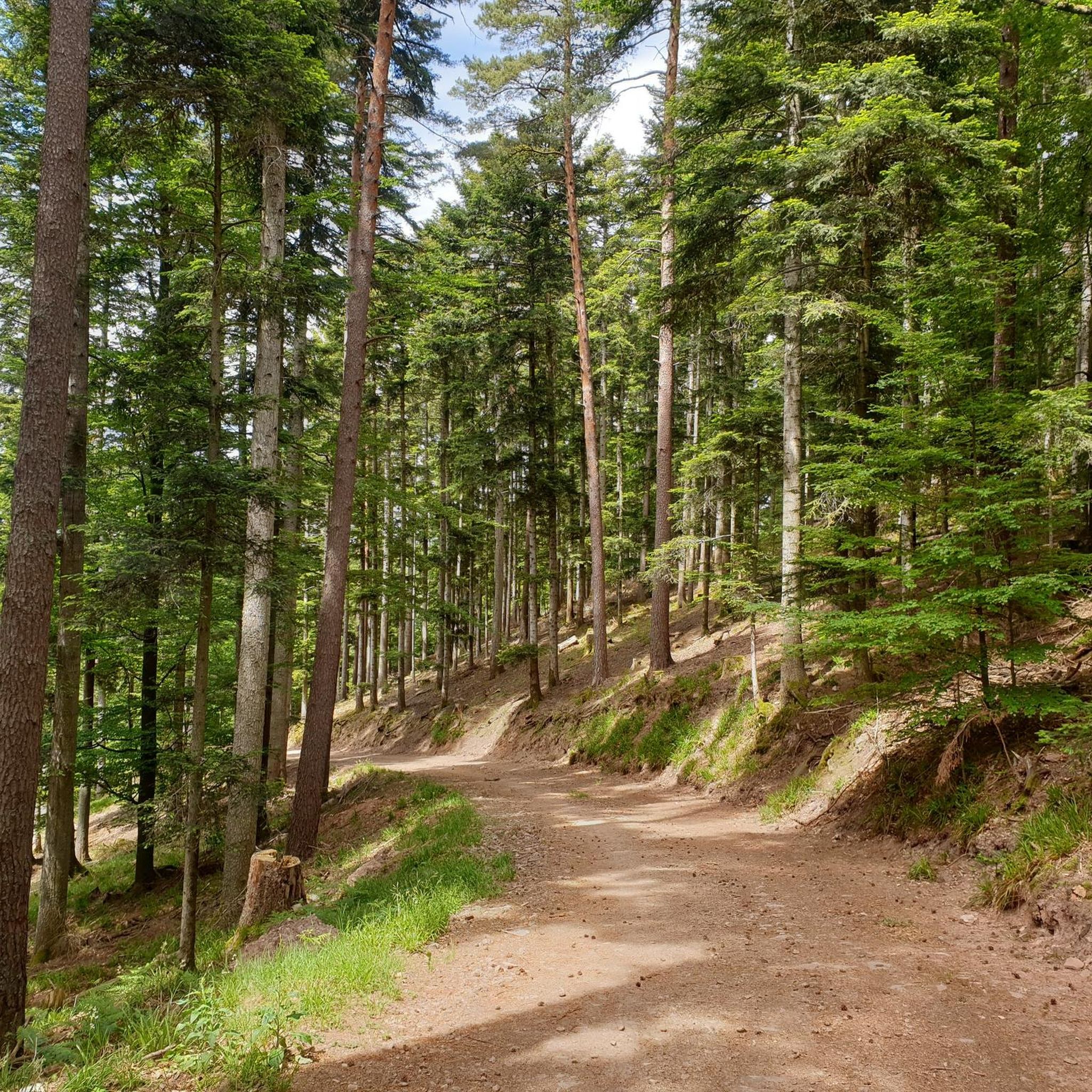
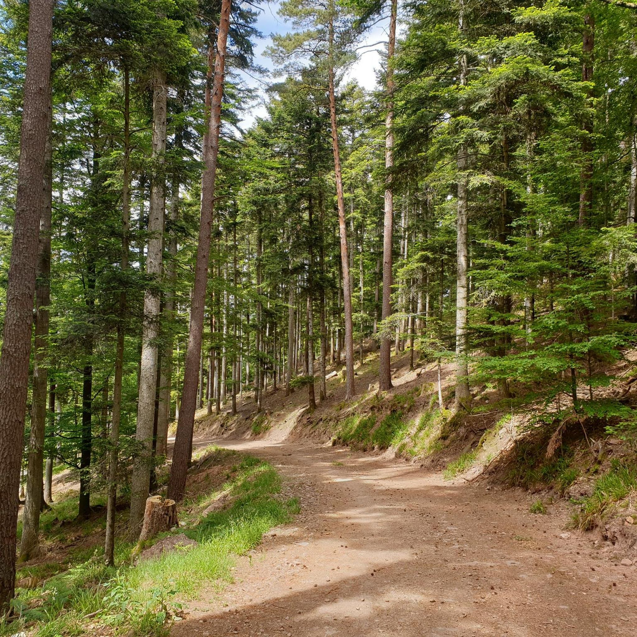
With the words "Only one book lies open before all eyes, the book of nature." by Jean-Jacques ROUSSEAU (1712 to 1778), I wish everyone on this path the aforementioned open eyes, to enjoy nature in its countless facets along the way.
0
0

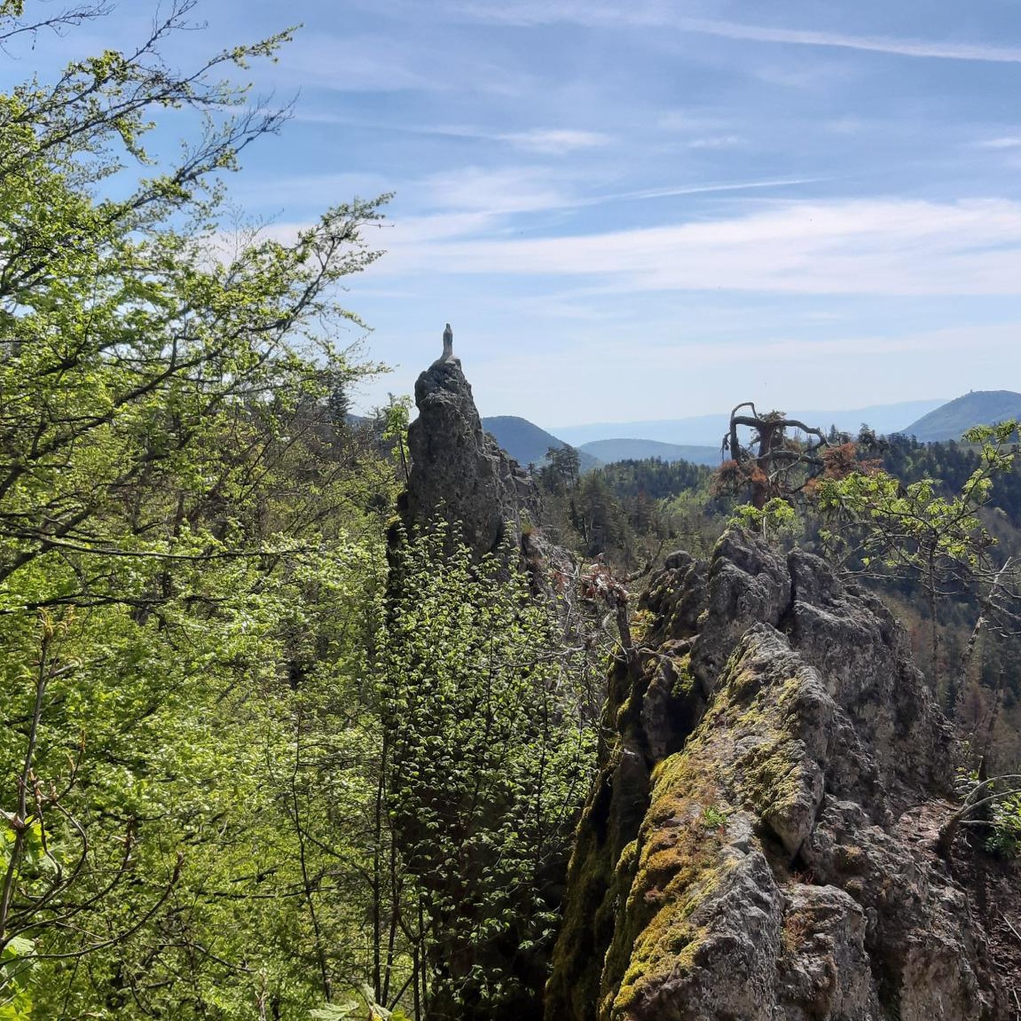
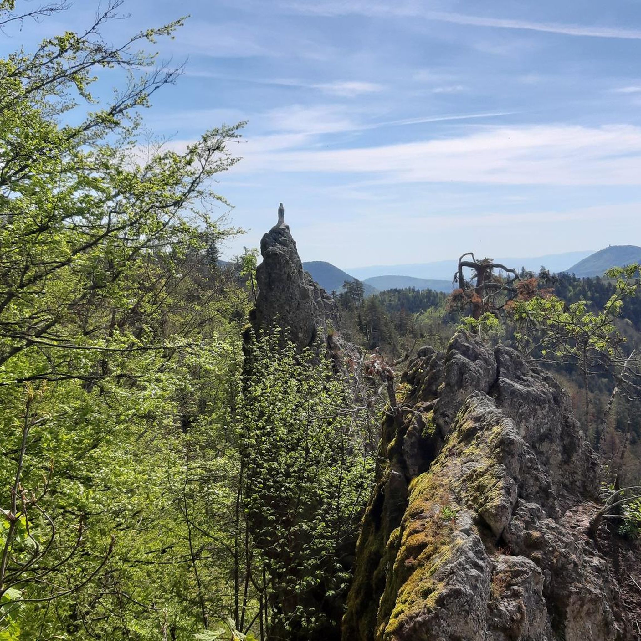
not easy to access but a very beautiful "rock"
0
0

Magnificent sandstone block to admire here
3
0
Tolle Aussicht in mehrere Täler und ins weite Land… sattes Grün überall
5
0
Fantastically beautiful, natural hiking trail between 🫐 blueberries
3
0
An approximately 1m high wall accompanies you on the Kammweg, painstakingly built
4
0
Very fine patch of earth with a beautiful view if the weather plays along
3
0
Great rock formation behind which it drops down for several meters.. so be careful when being curious
2
0
Frequently Asked Questions
How many hiking trails are available around Sainte-Croix-Aux-Mines?
There are over a dozen hiking routes in the Sainte-Croix-Aux-Mines region, catering to various skill levels. You'll find a good mix of easy, moderate, and challenging trails to explore the diverse landscapes of the Val d'Argent.
What kind of terrain can I expect on hikes in Sainte-Croix-Aux-Mines?
The terrain around Sainte-Croix-Aux-Mines is characterized by deep green forests, the mountainous slopes of the Taennchel Massif, and scenic valleys. You'll encounter varied elevation changes, from gentle loops to more strenuous climbs, often leading to panoramic viewpoints from mountain passes like the Bagenelles Pass.
Are there any easy, family-friendly hikes in the area?
Yes, there are several easy routes suitable for families. For instance, the Castle ruin loop from Sainte-Croix-aux-Mines is an easy 5 km trail that takes about 1 hour 33 minutes, leading through historical sites and offering pleasant valley views.
What are some notable natural features or landmarks to see while hiking?
Hikers can discover prominent natural features such as the Grand Brézouard mountain and the mysterious rock formations of the Taennchel Massif. Mountain passes like the Col des Bagenelles and the Haut de Ribeauvillé Pass offer stunning panoramic views. You might also encounter unique rock formations like the Rocher de la Salière and Roche du Cheval Tombé.
Are there any circular hiking routes available?
Yes, many trails in the region are designed as loops. A popular moderate option is the Reptile Rock – Giants' Rock loop from Col Haut de Ribeauvillé, which covers 14.7 km and takes around 4 hours 22 minutes, offering views of the Val d'Argent and interesting rock formations.
What do other hikers say about the trails in Sainte-Croix-Aux-Mines?
The hiking routes in Sainte-Croix-Aux-Mines are highly rated by the komoot community, with an average score of 4.5 stars from over 3,300 reviews. Hikers often praise the well-marked paths, the serene forest environments, and the diverse landscapes that offer both challenging climbs and peaceful strolls.
Can I visit any castles or historical sites on a hike?
Absolutely. The region is rich in history, and many trails lead to or offer views of historical sites. You can explore the Castle ruin loop from Sainte-Croix-aux-Mines, or venture towards the three castles of Ribeauvillé: Saint-Ulrich Castle, Girsberg Castle, and Haut-Ribeaupierre Castle, which are popular hiking destinations.
Are there any longer, more challenging hikes for experienced trekkers?
Yes, for experienced hikers seeking a challenge, there are more strenuous options. The Reptile Rock – Giants' Rock loop from Sainte-Croix-aux-Mines is a difficult 18.8 km route with significant elevation gain, providing a demanding yet rewarding experience through the region's mountainous terrain.
What are some good viewpoints to aim for on a hike?
Many trails offer magnificent viewpoints. The Col des Bagenelles (at 903 meters) provides stunning panoramic views of the valleys. A walk to the Chapelle de la Goutte du Prince also offers excellent views of the Grand Rombach valley and Sainte-Croix-aux-Mines, complete with a picnic area.
Are there any specific trails that highlight the Val d'Argent?
The Val d'Argent itself is a prominent feature, and many routes traverse it. For a comprehensive experience, the 'Tour du Val d'Argent' is a long-distance hike that can take 3 to 4 days. Shorter routes like the Reinoldstein Rock – The Ramelstein loop from Val d’Argent also offer a good introduction to the valley's landscapes.
What is the best time of year to go hiking in Sainte-Croix-Aux-Mines?
The region is beautiful throughout the warmer months, typically from spring to autumn, when the forests are lush and the weather is mild. These seasons offer the best conditions for enjoying the diverse landscapes and panoramic views without the challenges of winter snow or ice on higher elevations.
Are there any towns or villages nearby worth visiting after a hike?
Yes, the region has charming towns. Ribeauvillé, with its three castles, is a popular destination. The picturesque village of Riquewihr is also nearby and known for its historic charm, making it a great place to explore after a day on the trails.
Most popular routes around Sainte-Croix-Aux-Mines
Most popular attractions around Sainte-Croix-Aux-Mines

Get inspired with the komoot mobile app


Explore more
Browse the best Hikes in other regions.
