The best mountain hikes around Pommiers-La-Placette
4.6
(11)
141
hikers
16
hikes
Mountaineering routes around Pommiers-La-Placette, now part of La Sure en Chartreuse, are situated within the Chartreuse Massif in the Isère department of France. This region features diverse mountainous landscapes, with elevations ranging from 344 to 1,849 meters, offering varied terrain for ascents. The area is characterized by challenging mountain passes, wooded slopes dominating the Isère valley, and significant geological formations like Roche Brune.
Best mountaineering routes around Pommiers-La-Placette
- The most popular mountaineering route is Oratoire d'Orgeval – Col de la…
Last updated: July 1, 2026
4.3
(3)
45
hikers
7.01km
03:53
660m
660m
Hard mountaineering route. Good fitness required. Sure-footedness, sturdy shoes and alpine experience required.
5.0
(1)
13
hikers
11.6km
03:57
510m
510m
Moderate mountaineering route. Good fitness required. Mostly accessible paths. Sure-footedness required.

Sign up for free
12
hikers
12.2km
05:01
910m
910m
Hard mountaineering route. Very good fitness required. Mostly accessible paths. Sure-footedness required.
5.0
(2)
13
hikers
13.8km
04:54
610m
610m
Moderate mountaineering route. Good fitness required. Mostly accessible paths. Sure-footedness required.
7
hikers
Moderate mountaineering route. Good fitness required. Easily-accessible paths. Suitable for all skill levels.
Get access to more routes and recommendations from other explorers.
Sign up for free
Already have an account?
Our route recommendations are based on thousands of hikes, rides, and runs completed by other people on komoot.
Start today with a free account
Your next adventure awaits.
Login or Signup
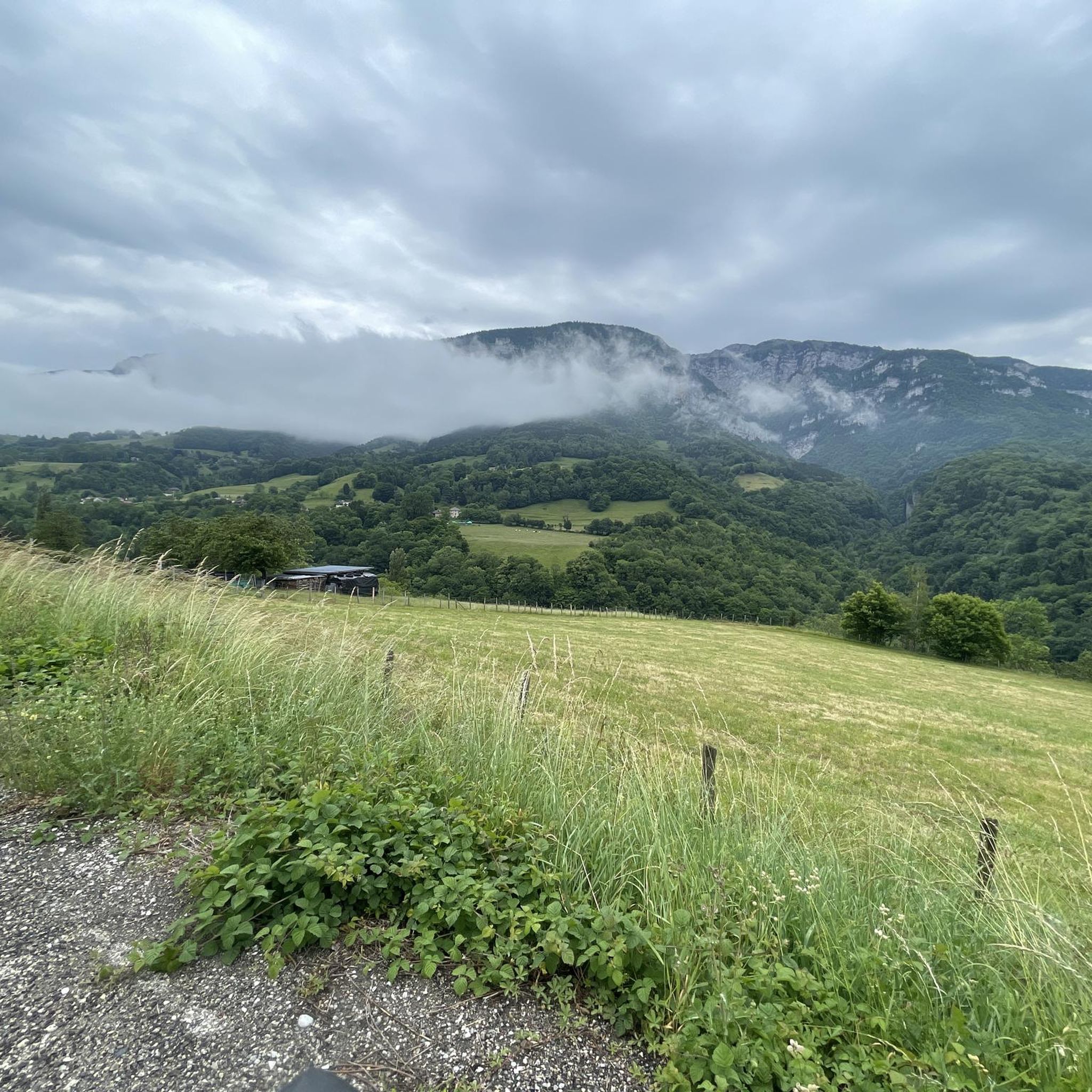
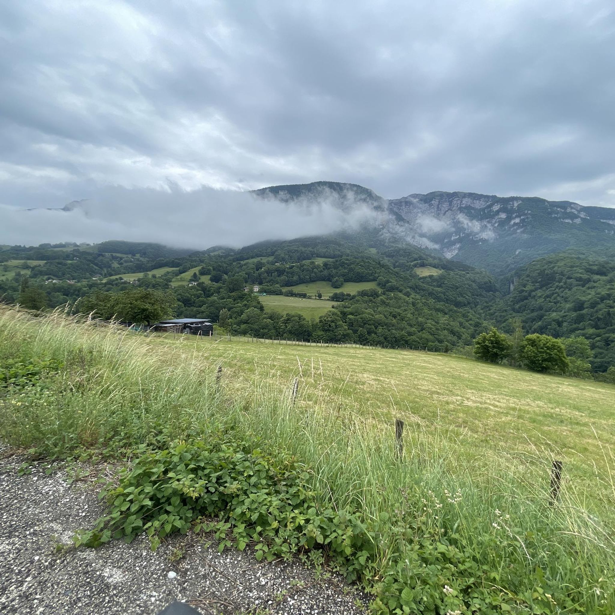
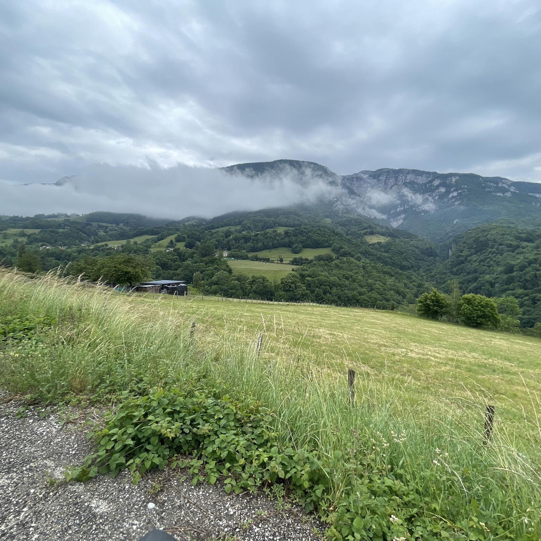
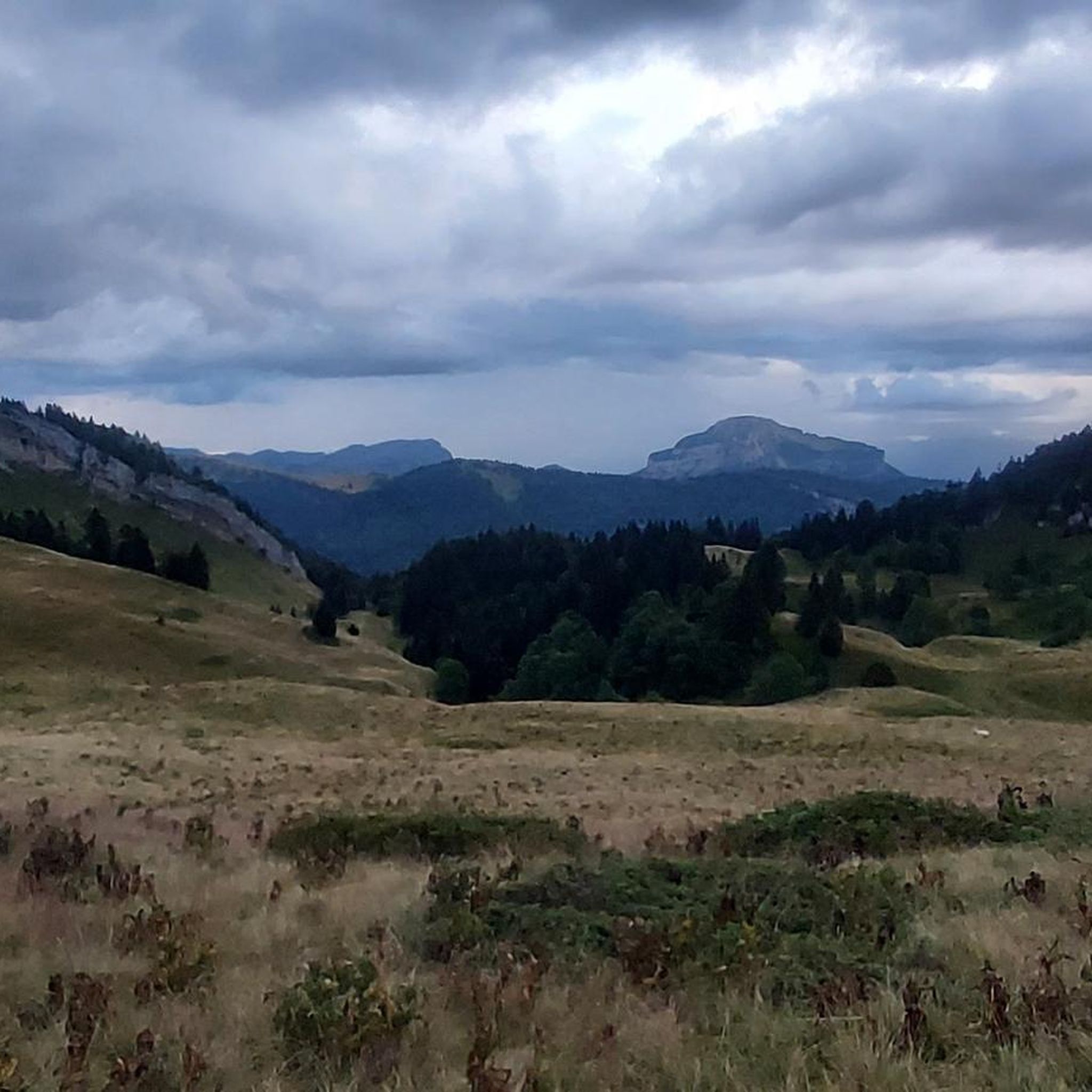
Tips from the Community

Favor the climb via Sarcenas, almost no cars
3
0

The climb to the charming Som from the Col de Porte is always a treat. There are some very steep sections, but the view at the top is worth it. Be careful on the descent: uneven road, tight bends, cars.
0
0

Be careful, if in summer it is a fairly easy passage, in winter, as the surrounding slopes are steep, it is more prudent to have crampons
0
0
Folatière with only 1 "l", sorry... This magnificent block of limestone is perfect for catching your breath and enjoying the scenery. It is not a collapsed block; on the contrary, it belongs to the Urgonian slab that rises higher up to the summit of the mountain. The grooves that sculpt it are due to the subtle differences in the nature and cementing of the grains of the rock (the hollow areas are those that crumble the most under the effect of freezing and thawing). They show that it has bedding, despite its often very massive appearance." extract from Geol-Alp
0
0
Magnificent avenue of century-old ash trees. Unfortunately, as of 2022, more than half of them had to be uprooted, almost 2/3 because of Asian fungi dating from 2008 which make them fragile (they break and fall) and kill them. Link with global warming...very possible... The ONF is trying to save what is and replant...let's hope it works. From the Correrie museum to the monastery, about 1km and between 15 and 30 minutes.
0
0

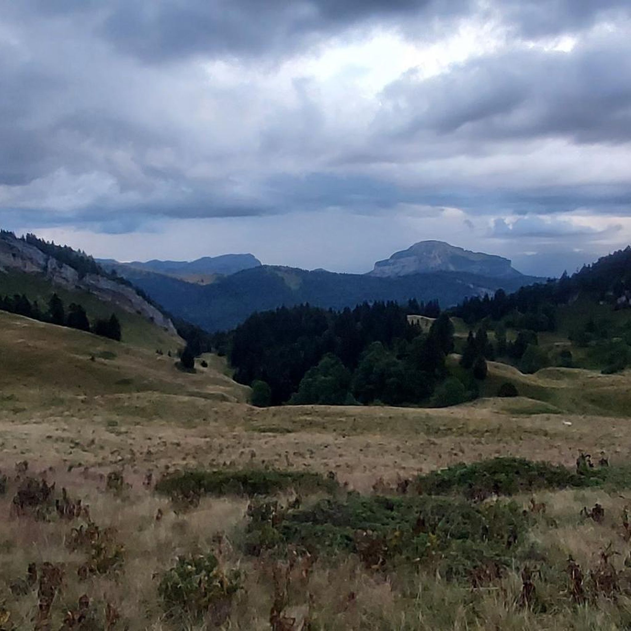
Magnificent summit above the Col de la Ruchère, offering you one of the most beautiful panoramas of the Chartreuse.
0
0

Highest summer cheese dairy, perched in the middle of the Charmant Som mountain pasture. Well, okay, it's not really the season...
0
0

Dominating the valley, the Orgeval oratory offers a magnificent view. When the weather permits, the Mont-Blanc massif can be seen in the distance.
1
0
Frequently Asked Questions
What kind of mountaineering routes can I expect around Pommiers-La-Placette?
The Chartreuse Massif, where Pommiers-La-Placette is located, offers a diverse range of mountaineering experiences. You'll find routes with significant elevation changes, challenging mountain passes like Col de Porte (1326 m), and extensive wooded slopes. The area caters to both moderate and difficult ability levels, with routes like the challenging Petit Som – Bovinant Pass loop from Monastère de la Grande-Chartreuse featuring substantial elevation gain.
Are there options for beginners or less experienced mountaineers?
While many routes in the Chartreuse Massif are challenging, there are moderate options suitable for those with some experience. For example, the Oratoire d'Orgeval – Col de la Chavanette Signpost loop from Chamechaude is a moderate route offering a scenic loop through the landscape. It's always recommended to choose routes that match your fitness level and experience.
How long do mountaineering routes typically take in this area?
The duration of mountaineering routes around Pommiers-La-Placette varies depending on the distance, elevation gain, and your pace. Moderate routes, such as the Oratoire d'Orgeval – Col de la Chavanette Signpost loop (11.6 km), can take around 4 hours. More difficult and longer routes, like the Grand Som – Ruchère Pass loop (15.1 km), can require over 7 hours to complete.
What natural features or landmarks can I see while mountaineering?
The region is rich in natural beauty. You can encounter prominent summits like Charmant Som summit and Pravouta, as well as unique geological formations such as the La Folatière Monolith and the dramatic Gorges du Guiers Mort. Many routes also offer views of the wooded slopes dominating the Isère valley.
Are there any challenging mountain passes to explore?
Yes, the Chartreuse Massif is known for its challenging mountain passes. Notable passes include Col de Porte (1326 m), Col du Cucheron, and Col du Coq, which is the highest pass in the Chartreuse. These passes often feature steep ascents and rewarding views, making them popular for experienced mountaineers.
Is public transport available to reach the trailheads?
While specific public transport options directly to every trailhead can be limited in mountainous regions, some routes, particularly those starting from more established points like Monastère de la Grande-Chartreuse, might be accessible via regional bus services. It's advisable to check local transport schedules for the Isère department in advance, especially during peak seasons.
Where can I find parking for mountaineering routes?
Parking availability varies by trailhead. Popular starting points like Chamechaude or Monastère de la Grande-Chartreuse often have designated parking areas. For less frequented routes, roadside parking might be an option, but always ensure you are parking legally and safely, without obstructing access or damaging the environment.
Do I need any special permits to go mountaineering in the Chartreuse Regional Natural Park?
Generally, no specific permits are required for hiking or mountaineering on established trails within the Chartreuse Regional Natural Park for day trips. However, certain activities, such as bivouacking or specific climbing routes, might have regulations. Always respect local signage and park rules, especially concerning protected areas and wildlife.
When is the best time of year for mountaineering in the Chartreuse Massif?
The best time for mountaineering in the Chartreuse Massif is typically from late spring (May/June) through early autumn (September/October). During these months, the weather is generally more stable, and trails are clear of snow at lower to mid-altitudes. Summer offers warmer temperatures, but be prepared for potential thunderstorms. Winter mountaineering is possible but requires specialized equipment and experience due to snow and ice conditions.
Are there any circular mountaineering routes available?
Yes, many of the mountaineering routes in the area are designed as circular loops, allowing you to return to your starting point without retracing your steps. Examples include the Piénom (1615 m) – Charmant Som summit loop from Chamechaude and the Grande Chartreuse Museum – Ruchère Pass loop from Monastère de la Grande-Chartreuse, offering varied terrain and scenic views.
Can I bring my dog on the mountaineering trails?
Regulations regarding dogs in the Chartreuse Regional Natural Park can vary. While many trails permit dogs, they are often required to be kept on a leash to protect wildlife and ensure the safety of other hikers. Always check specific trail regulations or park guidelines before heading out with your dog.
What is the overall rating for mountaineering routes in Pommiers-La-Placette?
The mountaineering routes around Pommiers-La-Placette are highly regarded by the komoot community, with an impressive average rating of 4.7 stars from numerous reviews. Mountaineers often praise the diverse terrain, challenging ascents, and the stunning natural scenery of the Chartreuse Massif.
Most popular routes around Pommiers-La-Placette
Most popular attractions around Pommiers-La-Placette

Get inspired with the komoot mobile app


Explore more
Browse the best Mountain Hikes & Routes in other regions.
