The best mountain hikes around Sainte-Marie-Aux-Mines
4.6
(15)
62
hikers
9
hikes
Mountaineering routes around Sainte-Marie-Aux-Mines are situated in the V-shaped valley of the Lièpvrette River, within the Vosges Mountains. The region features diverse terrain, including high-altitude lakes like Lac Blanc, prominent rock formations such as Rochers de Hans, and several mountain passes like Col des Bagenelles. These routes often demand good fitness, sure-footedness, and alpine experience, traversing forests and varied elevations.
Best mountaineering routes around Sainte-Marie-Aux-Mines
- The most popular mountaineering route is Taubenklangfelsen Viewpoint – Lac du Forlet loop from Lac…
Last updated: August 28, 2026
5.0
(2)
20
hikers
20.1km
07:05
770m
770m
Hard mountaineering route. Very good fitness required. Sure-footedness, sturdy shoes and alpine experience required.
4.8
(5)
15
hikers
5.07km
02:00
210m
210m
Hard mountaineering route. Great for any fitness level. Sure-footedness, sturdy shoes and alpine experience required.

Sign up for free
4.8
(5)
15
hikers
4.71km
01:57
220m
220m
Hard mountaineering route. Great for any fitness level. Sure-footedness, sturdy shoes and alpine experience required.
4.0
(1)
4
hikers
10.7km
03:55
400m
400m
Hard mountaineering route. Good fitness required. Sure-footedness, sturdy shoes and alpine experience required.
5.0
(1)
4
hikers
4.63km
01:36
250m
240m
Moderate mountaineering route. Great for any fitness level. Mostly accessible paths. Sure-footedness required.
Get access to more routes and recommendations from other explorers.
Sign up for free
Already have an account?
Our route recommendations are based on thousands of hikes, rides, and runs completed by other people on komoot.
Start today with a free account
Your next adventure awaits.
Login or Signup
Popular around Sainte-Marie-Aux-Mines

From the Vosges to the Jura mountains – Hexatrek, le Grand Est
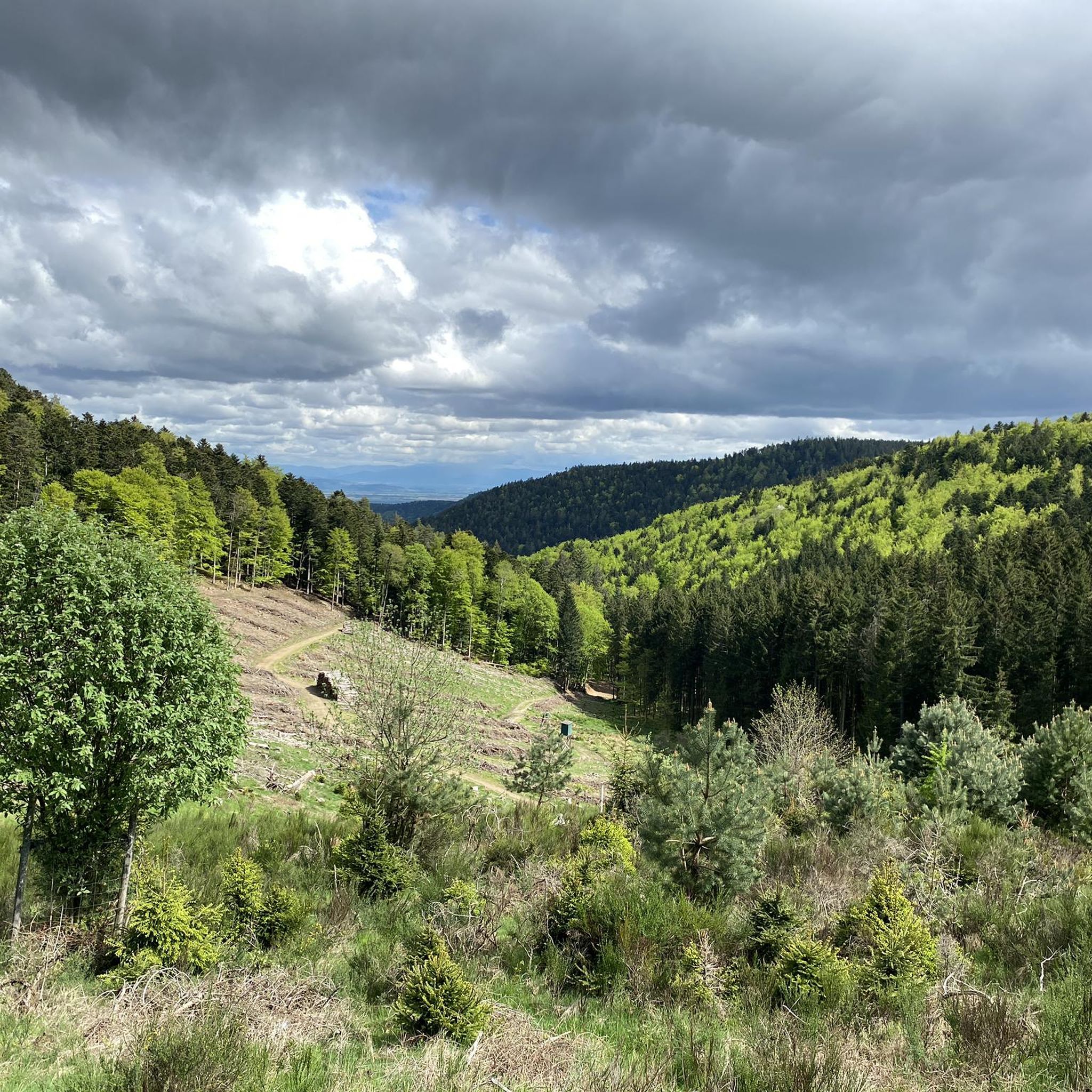
Hiking around Sainte-Marie-Aux-Mines
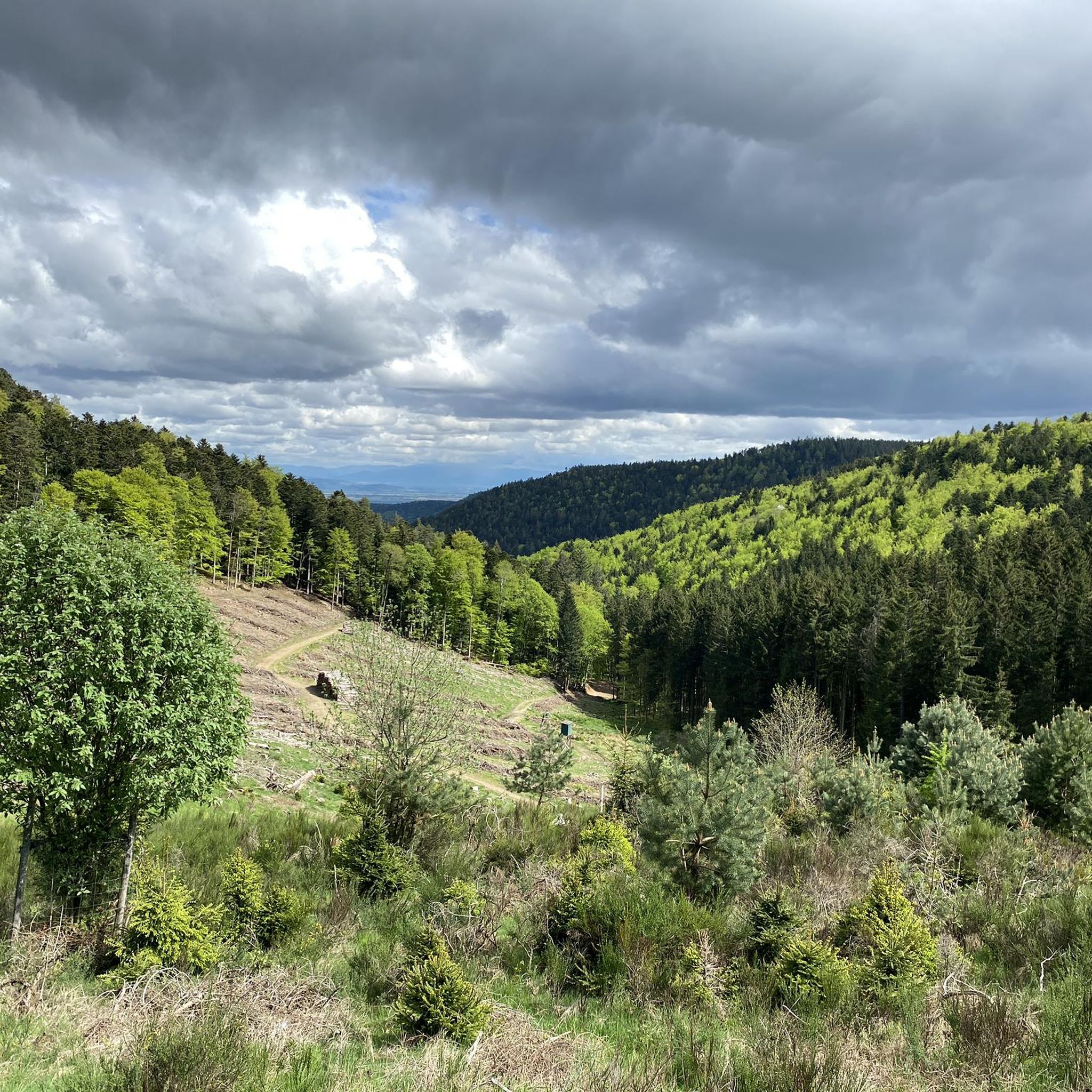
Road Cycling Routes around Sainte-Marie-Aux-Mines
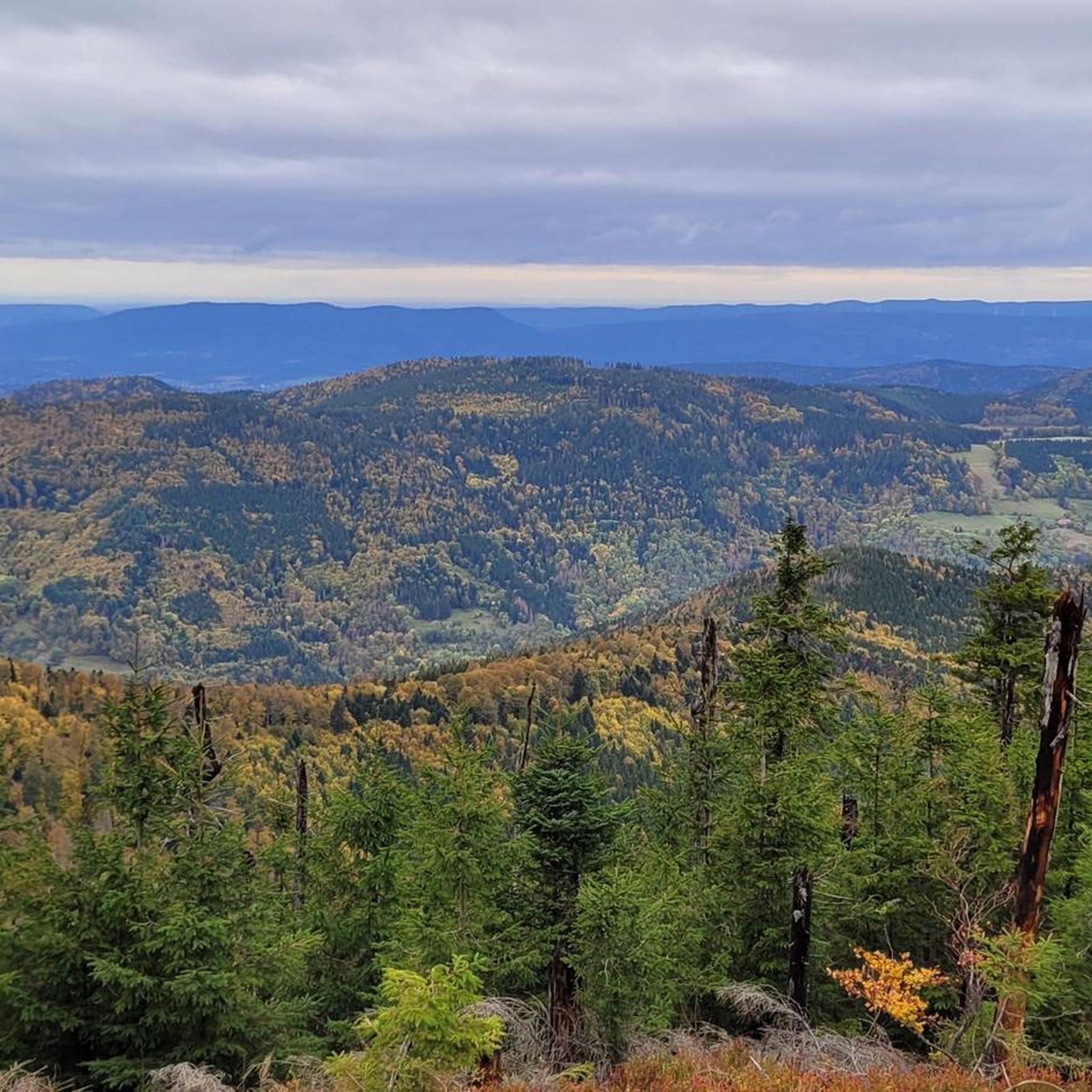
Cycling around Sainte-Marie-Aux-Mines
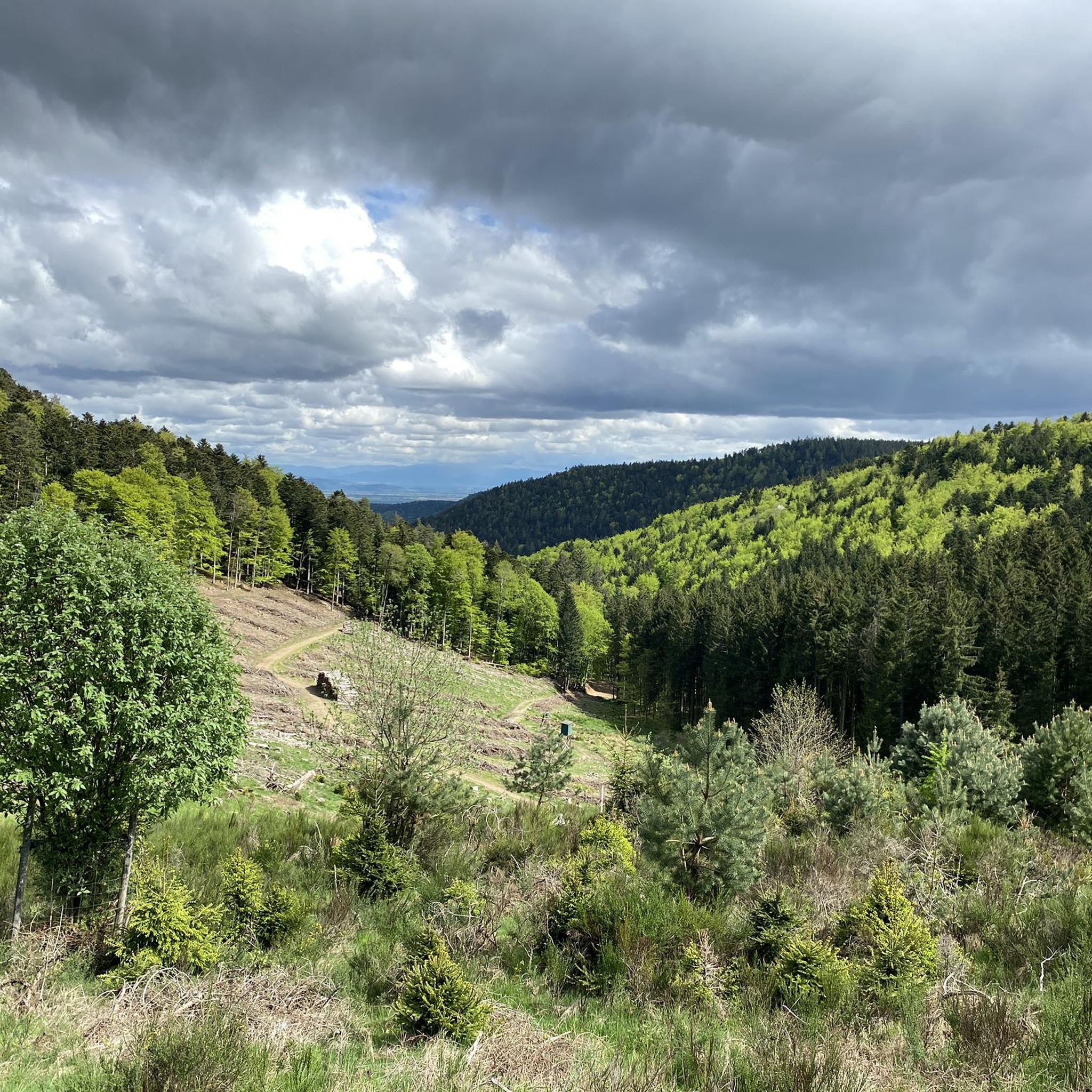
MTB Trails around Sainte-Marie-Aux-Mines
Running Trails around Sainte-Marie-Aux-Mines

Gravel biking around Sainte-Marie-Aux-Mines
Other adventures around Sainte-Marie-Aux-Mines

Tips from the Community

Saunt Ulric Castle is the largest of the three ruins. It is currently undergoing partial renovation. A small section is cordoned off, and caution is advised in other areas. However, the keep is accessible.
6
0
From various viewpoints in Ribeauvillé you can sometimes see all three castles together.
9
0

View over a garden fence while climbing the Hail Path to Château Saint-Ulrich.
5
0
Steep, rocky path that leads through small rock formations and up to the Château Saint-Ulrich.
7
0


A pretty narrow path over hill and dale and past magnificent rocks up to Ulrichsburg... again and again there are beautiful views over the vineyards and the town of Ribeauville
2
1
When climbing the Hail Trail you have a beautiful view from below of the two castles Saint-Ulrich and Girsberg
2
2
Frequently Asked Questions
How challenging are the mountaineering routes around Sainte-Marie-Aux-Mines?
The mountaineering routes in this region are predominantly difficult, requiring good fitness, sure-footedness, sturdy shoes, and alpine experience. Out of 11 routes, 10 are rated as difficult, with only one moderate option. They often involve significant elevation changes and traverse varied mountainous terrain.
What kind of natural features can I expect to see on these routes?
The routes offer diverse natural features within the Vosges Mountains. You'll encounter high-altitude lakes like Lac Blanc, prominent rock formations such as Rochers de Hans, and several mountain passes like Col des Bagenelles. The landscape also includes deep forests and picturesque valleys.
Are there any circular mountaineering routes available?
Yes, several routes are designed as loops, allowing you to start and finish at the same point. For example, the Taubenklangfelsen Viewpoint – Lac du Forlet loop from Lac Blanc is a challenging 13.2-mile circular route offering expansive views.
What do other mountaineers enjoy most about the routes in Sainte-Marie-Aux-Mines?
The routes around Sainte-Marie-Aux-Mines are highly rated by the komoot community, with an average score of 4.6 stars. Mountaineers often praise the challenging ascents, the stunning views of Lac Blanc, and the immersive experience within the Vosges Mountains.
Are there any specific viewpoints or landmarks to look out for?
Absolutely. Key viewpoints include the Taubenklangfelsen viewpoint and the Rochers de Hans, both offering spectacular vistas, particularly over Lac Blanc. The Col des Bagenelles also provides panoramic views of the valley. You might also encounter historical sites like Saint-Ulrich Castle ruins along some trails.
What is the best time of year for mountaineering in this region?
Spring and summer are ideal for hiking and mountaineering in the Vosges Mountains, offering pleasant weather and accessible trails. During colder months, the higher passes like Col des Bagenelles also become suitable for winter sports, but routes may require specific winter gear and experience.
Can I access these mountaineering routes using public transport?
While Sainte-Marie-Aux-Mines is situated in a mountainous region, public transport options directly to the trailheads can be limited. It's advisable to check local bus schedules or consider driving to access the starting points of these routes. Parking information is often available at popular trailheads.
Are there any routes suitable for beginners in mountaineering?
The routes around Sainte-Marie-Aux-Mines are primarily designed for experienced mountaineers, with most being rated as difficult. There is one moderate route, but generally, the terrain demands a good level of fitness and alpine experience, making it less suitable for absolute beginners.
What should I wear or bring for mountaineering in Sainte-Marie-Aux-Mines?
Given the challenging nature of these routes, it's essential to wear sturdy hiking boots with good ankle support, layered clothing suitable for varying mountain weather, and carry sufficient water and snacks. Depending on the season, waterproof gear and sun protection are also recommended. Alpine experience is beneficial.
Are there any other attractions near the mountaineering routes worth visiting?
Yes, beyond the natural beauty, the region offers cultural attractions. You can explore medieval villages like Riquewihr and Ribeauvillé, known for their historic architecture and castle ruins such as Saint-Ulrich Castle and Girsberg Castle, which often provide views over the plain and vineyards.
Where can I find parking for the mountaineering trails?
Parking is typically available at the starting points of popular routes, such as near Lac Blanc or Rocher Hans. It's recommended to check specific route descriptions for detailed parking information, as options may vary depending on the trailhead.
Are there any routes that pass by a lake?
Yes, several routes feature lakes. The Black Lake Inn – Source of Lac Noir loop from Le Valtin takes you past Lac Noir, and the View of Lac Blanc – Lac Blanc loop from Lac Blanc offers stunning views and access to Lac Blanc.
Most popular routes around Sainte-Marie-Aux-Mines
Most popular attractions around Sainte-Marie-Aux-Mines

Get inspired with the komoot mobile app


Explore more
Browse the best Mountain Hikes & Routes in other regions.
