The best mountain hikes around Diedolshausen
4.7
(44)
170
hikers
15
hikes
Mountaineering around Diedolshausen offers a diverse landscape characterized by significant elevation changes, dense forests, and alpine lakes. The region features prominent rock formations and viewpoints, providing challenging ascents and panoramic vistas. These trails often traverse natural reserves, showcasing varied terrain suitable for experienced mountaineers.
Best mountaineering routes around Diedolshausen
- The most popular mountaineering route is Taubenklangfelsen Viewpoint – Lac du Forlet loop from Lac Blanc, a 13.2 miles (21.3 km) trail that takes 7 hours 33 minutes to complete.…
Last updated: July 4, 2026
5.0
(2)
20
hikers
19.8km
07:02
760m
760m
Hard mountaineering route. Very good fitness required. Sure-footedness, sturdy shoes and alpine experience required.
4.8
(4)
14
hikers
5.07km
02:00
210m
210m
Hard mountaineering route. Great for any fitness level. Sure-footedness, sturdy shoes and alpine experience required.

Sign up for free
4.8
(4)
13
hikers
4.71km
01:57
220m
220m
Hard mountaineering route. Great for any fitness level. Sure-footedness, sturdy shoes and alpine experience required.
4.7
(3)
16
hikers
12.1km
04:07
460m
460m
Moderate mountaineering route. Good fitness required. Mostly accessible paths. Sure-footedness required.
4.5
(4)
7
hikers
Moderate mountaineering route. Good fitness required. Mostly accessible paths. Sure-footedness required.
Get access to more routes and recommendations from other explorers.
Sign up for free
Already have an account?
Our route recommendations are based on thousands of hikes, rides, and runs completed by other people on komoot.
Start today with a free account
Your next adventure awaits.
Login or Signup
Popular around Diedolshausen

Sentier de l'Europe (GR 5) – Montbéliard to Abreschviller
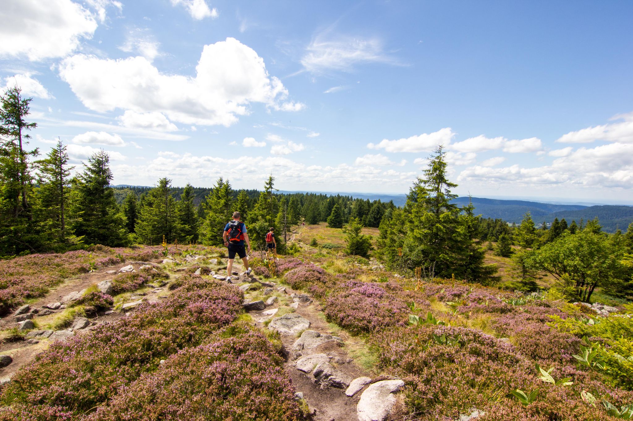
Hiking and relaxation – wellbeing on the Traversée des Vosges

Bike parks around Baden-Württemberg
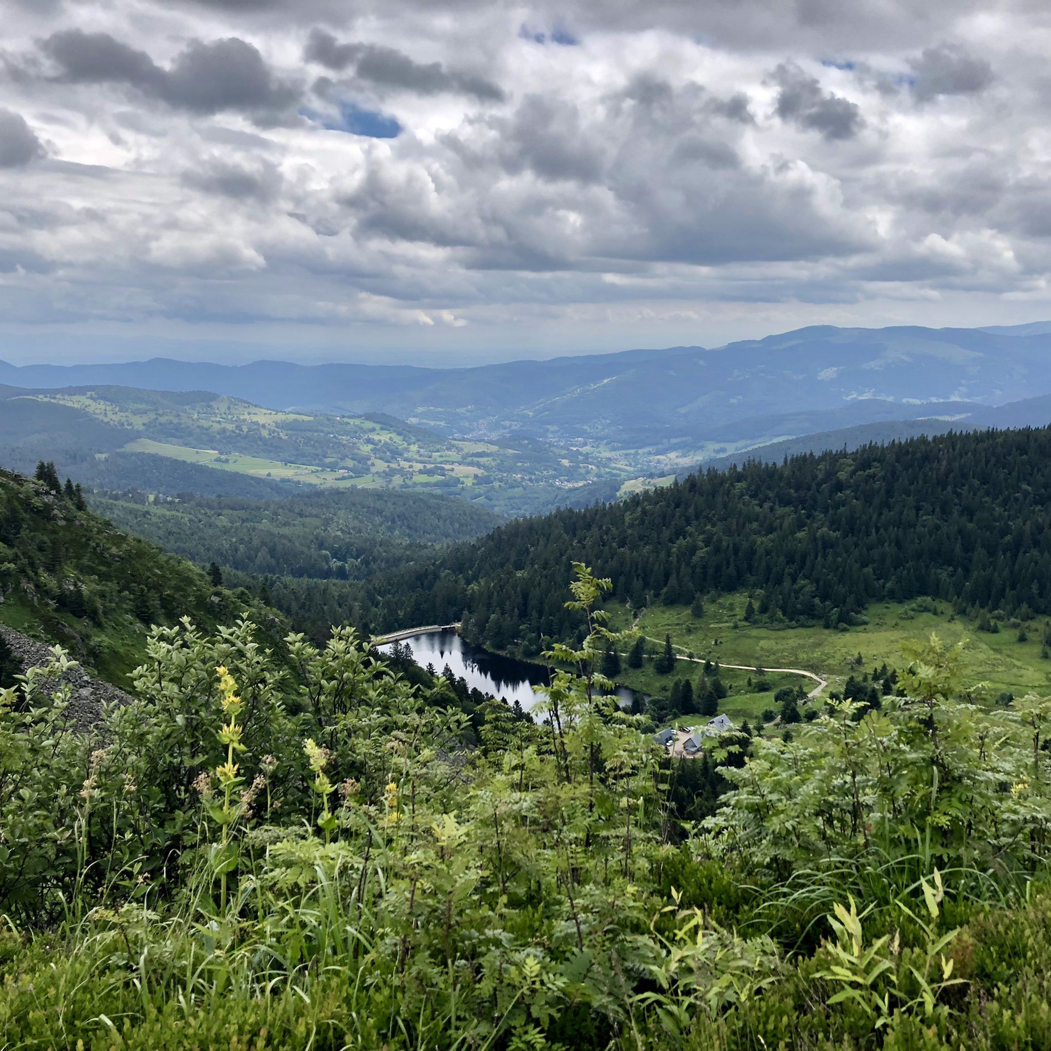
Hiking around Diedolshausen
MTB Trails around Diedolshausen
Cycling around Diedolshausen
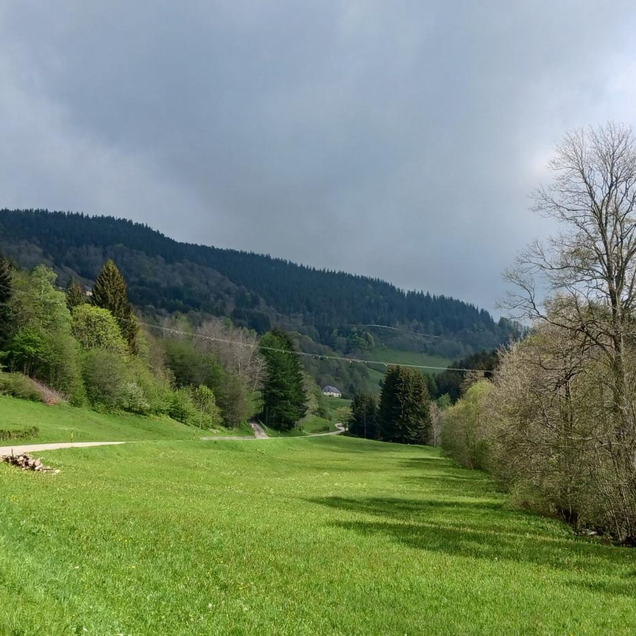
Running Trails around Diedolshausen
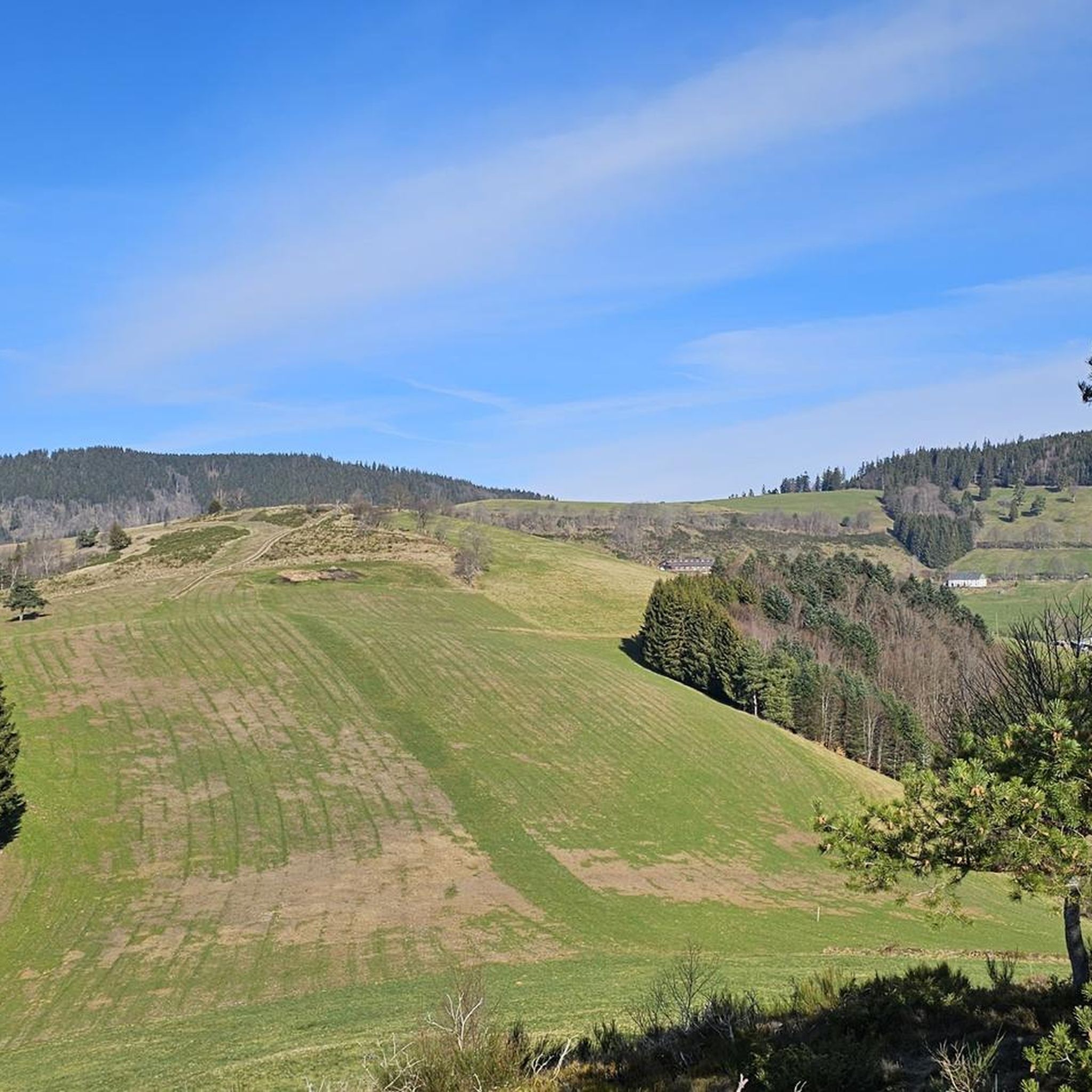
Road Cycling Routes around Diedolshausen

Gravel biking around Diedolshausen
Other adventures around Diedolshausen


Tips from the Community


Beautifully situated mountain lake in the middle of the forest
3
0

Delicious Siaßhaas, when the farm is open.
0
2

Wonderful panoramic view. The plate with its markings shows what you can (possibly) see on the horizon.
0
0

A scenic tour that will delight you.
1
0

Here is a very pretty view of Lac du Forlet.
4
0
By straying slightly from the path, you will reach the bank from where you will have plenty of time to observe Lac Blanc.
5
0
Frequently Asked Questions
How many mountaineering routes are available in Diedolshausen?
Diedolshausen offers a selection of 18 mountaineering routes. These range from moderate paths to more challenging climbs, providing diverse options for exploring the region's unique landscape.
Are there mountaineering routes suitable for beginners or those seeking a moderate challenge in Diedolshausen?
Yes, Diedolshausen features 5 moderate mountaineering routes. These trails offer a less strenuous experience while still allowing you to enjoy the region's scenic beauty. An example is the Lac du Forlet – Taubenklangfelsen Viewpoint loop from Réserve naturelle du Tanet-Gazon-du-Faing, which is about 4.6 miles (7.3 km) long.
What are some challenging mountaineering routes around Diedolshausen for experienced climbers?
For experienced mountaineers, Diedolshausen offers 13 difficult routes. These often involve significant elevation changes and rugged terrain. Consider the Rochers de Hans Ascent – View of Lac Blanc loop from Lac Blanc, a demanding 8.2-mile (13.1 km) path with substantial ascents.
Are there circular mountaineering routes available in Diedolshausen?
Many of the mountaineering routes in Diedolshausen are designed as loops, allowing you to start and end at the same point. For instance, the Taubenklangfelsen Viewpoint – Lac du Forlet loop from Lac Blanc is a popular circular option, covering 13.2 miles (21.3 km).
What do other mountaineers say about the routes in Diedolshausen?
The mountaineering routes in Diedolshausen are highly regarded by the komoot community, holding an average rating of 4.7 stars from over 75 reviews. Many users praise the challenging ascents, scenic lake views, and the diverse terrain found within the natural reserves.
What kind of natural attractions or landmarks can I expect to see along the mountaineering routes?
The routes often traverse natural reserves and offer views of alpine lakes and prominent rock formations. You might encounter highlights such as the Col de la Schlucht or the Bagenelles Pass. The region is known for its significant elevation changes and dense forests.
Are there any huts or places to stop for refreshments along the trails?
Yes, the Diedolshausen area has several huts and inns that can serve as resting points or places for refreshments. Notable options include the Schantzwasen Inn and Chalet Erichson. These can be found along or near many of the mountaineering paths.
What is the typical duration for mountaineering routes in Diedolshausen?
The duration of routes varies significantly based on difficulty and distance. Shorter, moderate routes like the Lac du Forlet – Taubenklangfelsen Viewpoint loop can take around 2 hours 37 minutes, while longer, difficult routes such as the Taubenklangfelsen Viewpoint – Lac du Forlet loop can extend to over 7 hours.
Is Diedolshausen suitable for family-friendly mountaineering?
While many routes are challenging, some moderate options could be suitable for families with older children who are accustomed to hiking. It's best to check the specific difficulty and length of a route, such as the moderate Lac du Forlet – Taubenklangfelsen Viewpoint loop, to ensure it matches your family's experience level.
Are there any historical sites or cultural points of interest near the mountaineering trails?
Yes, beyond natural beauty, you can find historical sites. For example, the French military cemetery at Col du Wettstein is a notable landmark in the vicinity of some mountain passes, offering a glimpse into the region's past.
What are the elevation gains like on Diedolshausen's mountaineering routes?
Mountaineering in Diedolshausen is characterized by significant elevation changes. Routes can feature ascents ranging from around 214 meters (700 ft) on shorter difficult trails like the Rochers de Hans Ascent – View of Lac Blanc loop from Rocher Hans, to over 800 meters (2,600 ft) on longer, more strenuous paths.
Most popular routes around Diedolshausen
Most popular attractions around Diedolshausen

Get inspired with the komoot mobile app


Explore more
Browse the best Mountain Hikes & Routes in other regions.
