The best walks and hikes around Thannenkirch
4.3
(233)
1,119
hikers
41
hikes
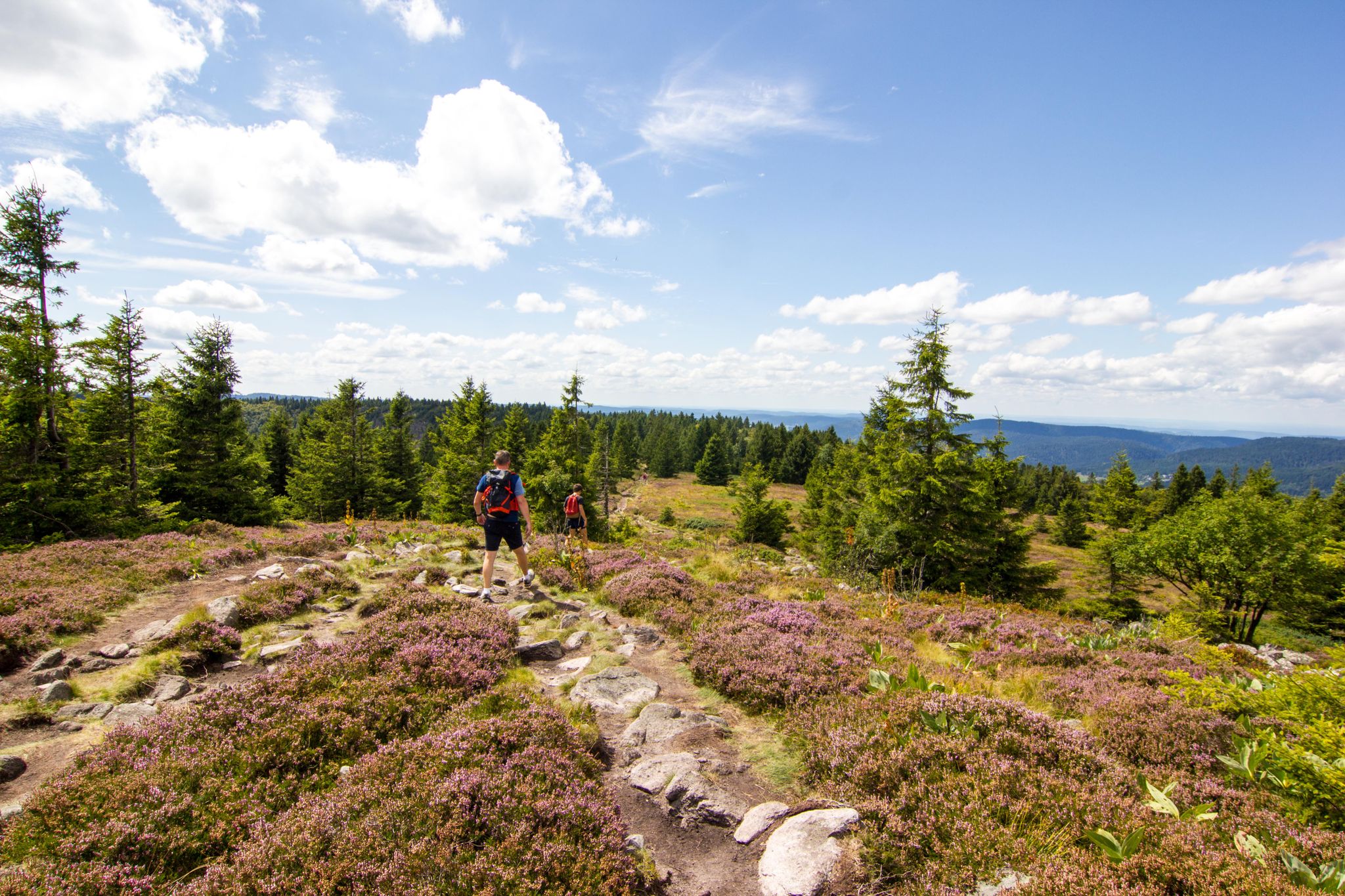
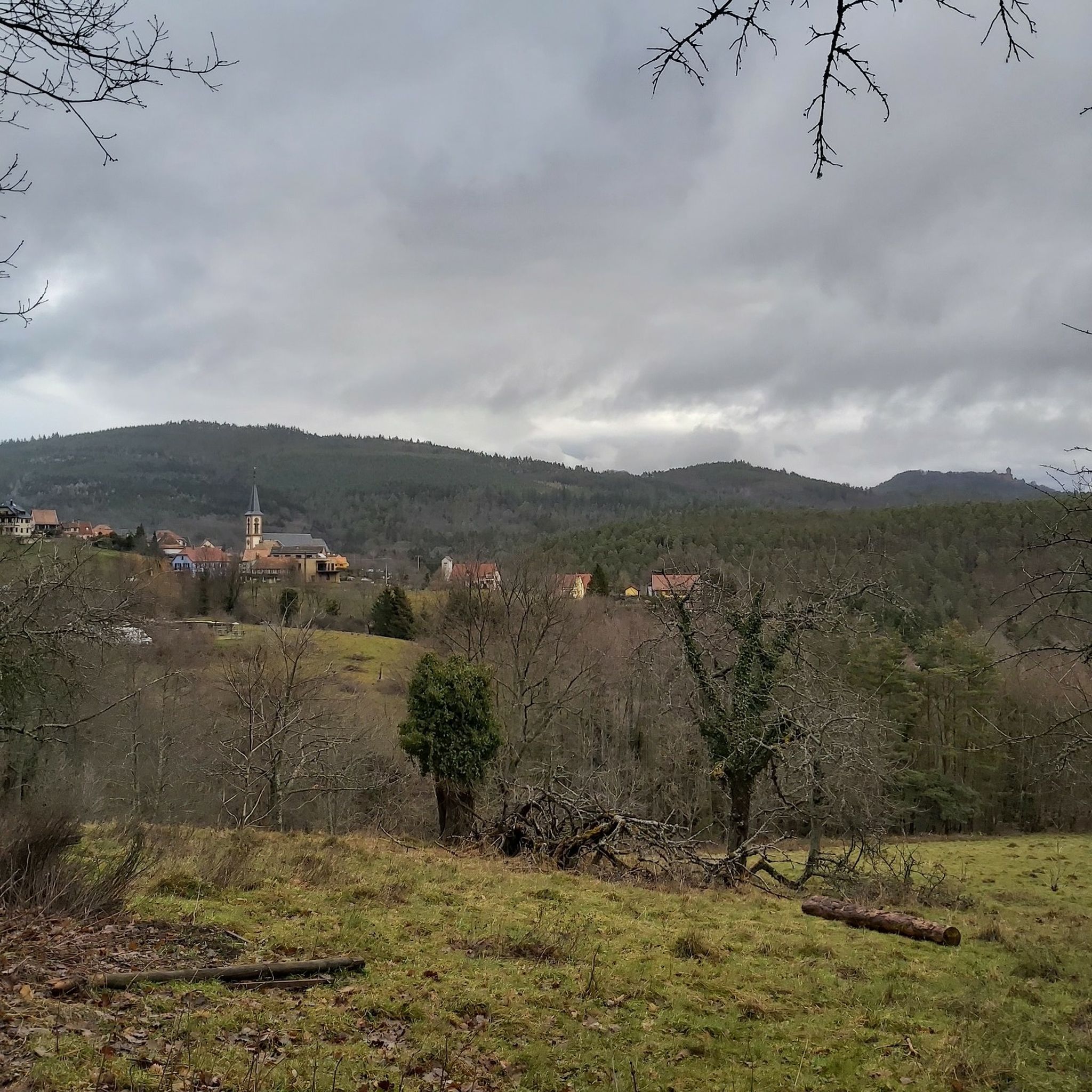
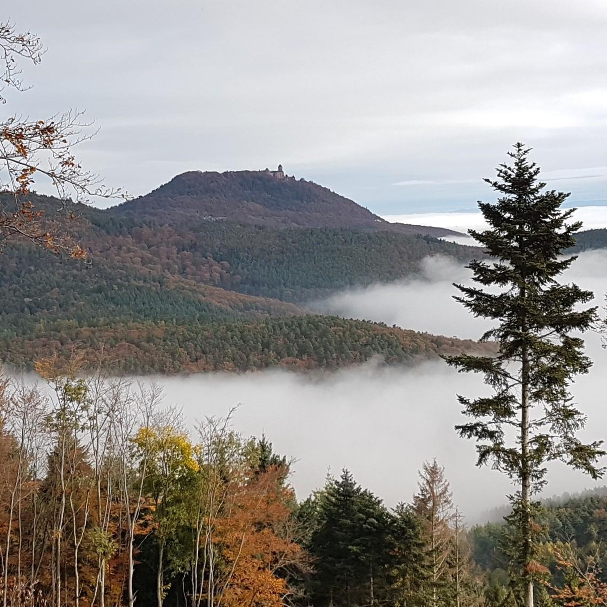
Hiking around Thannenkirch offers diverse landscapes within the Haut-Rhin department of France, nestled at the foot of the Taennchel massif. The region is characterized by green forests, orchards, and varied terrain with altitudes ranging from 386m to 938m. Hikers can explore trails winding through dense woodlands and past distinctive rock formations, providing views of the Alsatian plain.
Best hiking trails around Thannenkirch
- The most popular hiking route is Haut-Ribeaupierre Castle – Saint-Ulrich Castle loop from Thannenkirch, an 8.1 miles (13.0 km) trail that takes 4 hours 5 minutes to complete. This moderate route connects historic castle ruins.
- Another top favourite among local hikers is Giants' Rock – Reptile Rock loop from Thannenkirch, a difficult 12.1 miles (19.5 km) path. This trail features unique geological formations and dense wooded areas.
- Local hikers also love the Rocher de la Paix d'Udine – The Pointed Rock loop from Thannenkirch, a 6.2 miles (9.9 km) trail leading through varied terrain with interesting rock formations, often completed in about 3 hours 15 minutes.
- Hiking around Thannenkirch is defined by dense forests, historic castle ruins, and distinctive rock formations. The network offers options for different ability levels, from easy strolls to challenging long-distance treks.
- The routes in Thannenkirch are highly rated by the komoot community with an average score of 4.3 stars from over 200 reviews. More than 1000 hikers have used komoot to explore Thannenkirch's varied terrain.
Last updated: May 12, 2026
4.7
(44)
167
hikers
11.8km
03:40
400m
400m
Moderate hike. Good fitness required. Mostly accessible paths. Sure-footedness required.
4.6
(38)
159
hikers
19.5km
06:24
860m
860m
Hard hike. Very good fitness required. Mostly accessible paths. Sure-footedness required.

Sign up for free
4.4
(15)
75
hikers
14.5km
04:37
610m
610m
Moderate hike. Good fitness required. Easily-accessible paths. Suitable for all skill levels.
4.6
(9)
51
hikers
9.93km
03:16
450m
450m
Moderate hike. Good fitness required. Easily-accessible paths. Suitable for all skill levels.
4.6
(10)
60
hikers
Moderate hike. Good fitness required. Easily-accessible paths. Suitable for all skill levels.
Get access to more routes and recommendations from other explorers.
Sign up for free
Already have an account?
Our route recommendations are based on thousands of hikes, rides, and runs completed by other people on komoot.
Start today with a free account
Your next adventure awaits.
Login or Signup
Popular around Thannenkirch




Tips from the Community

Magnificent sandstone block to admire here
1
0
Fantastically beautiful, natural hiking trail between 🫐 blueberries
1
0
An approximately 1m high wall accompanies you on the Kammweg, painstakingly built
1
0
Great rock formation behind which it drops down for several meters.. so be careful when being curious
1
0
Gigantic rock... gigantic view.. that's the simple summary.
2
0

Well, there's not much to see here.
3
0
Besides the beautiful forest, there is nothing to see here.
1
0
Frequently Asked Questions
How many hiking trails are available around Thannenkirch?
Thannenkirch offers a wide variety of hiking experiences, with over 40 routes available. These trails cater to all skill levels, from easy strolls to more challenging long-distance treks.
What kind of terrain can I expect on hikes near Thannenkirch?
The terrain around Thannenkirch is quite varied, with altitudes ranging from 386m to 938m. You can expect to hike through dense green forests, past unique rock formations, and enjoy panoramic views of the Alsatian plain and the Black Forest mountains. The Taennchel massif, in particular, features distinctive rock formations and preserved flora and fauna.
Are there any easy hiking options suitable for beginners or families?
Yes, Thannenkirch has plenty of options for those seeking an easier hike. There are 17 easy routes available, perfect for families or those looking for a relaxed walk. These trails often wind through orchards and offer gentle ascents.
Can I find challenging hikes with significant elevation gain in Thannenkirch?
Absolutely. For experienced hikers, Thannenkirch offers several challenging routes. For instance, the Giants' Rock – Reptile Rock loop from Thannenkirch is a difficult 19.5 km path featuring significant elevation changes and unique geological formations.
What historical landmarks or natural features can I see along the hiking trails?
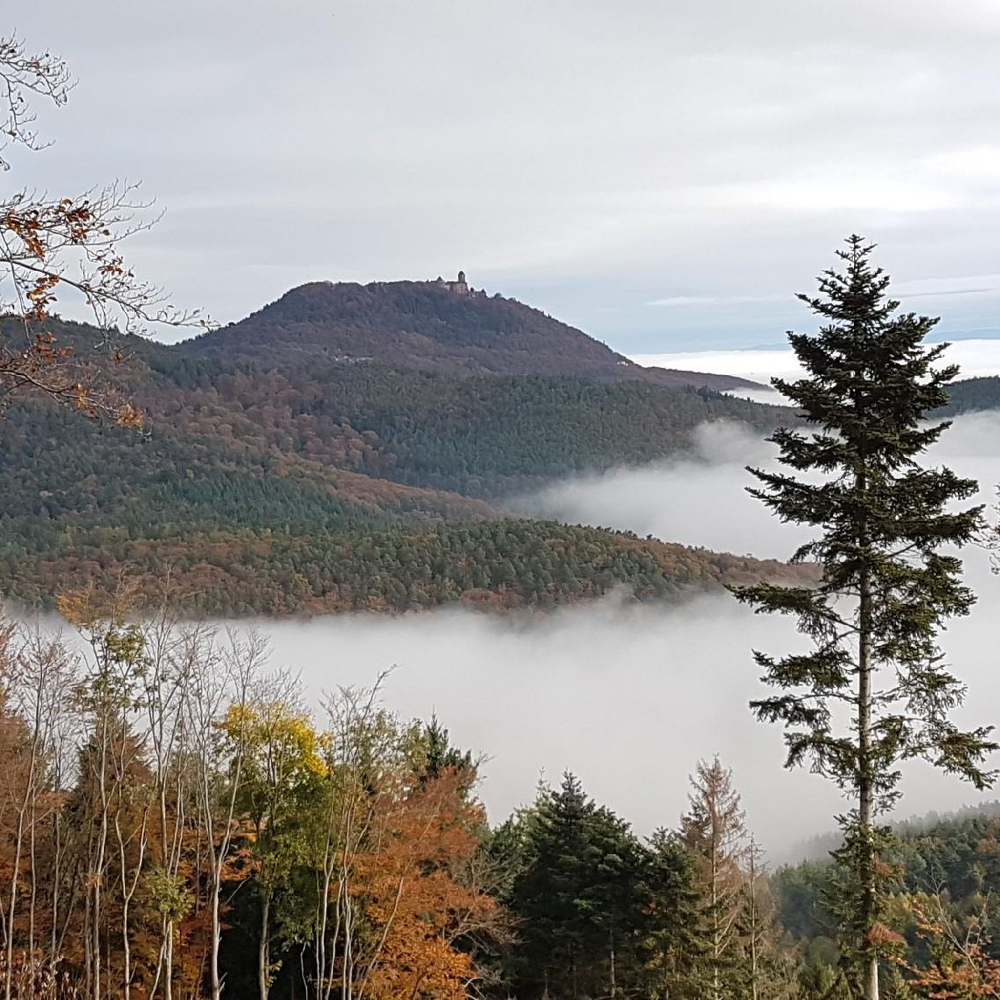
The region is rich in both historical and natural points of interest. You can explore several medieval castle ruins, such as Haut-Ribeaupierre Castle, Saint-Ulrich Castle, and Girsberg Castle. Natural features include distinctive rock formations like Giants' Rock, Reptile Rock, and Rocher de la Paix d'Udine.
Are there any circular hiking routes available?
Yes, many of the trails around Thannenkirch are designed as loops, allowing you to start and end in the same location. Examples include the Haut-Ribeaupierre Castle – Saint-Ulrich Castle loop and the Rocher de la Paix d'Udine – The Pointed Rock loop.
What do other hikers enjoy most about hiking in Thannenkirch?
The hiking routes in Thannenkirch are highly rated by the komoot community, with an average score of 4.3 stars. Hikers often praise the diverse landscapes, the well-maintained trails, and the combination of natural beauty with historical sites like the castle ruins.
Is Thannenkirch a good destination for long-distance hiking?
Yes, Thannenkirch serves as a gateway to several significant long-distance trails. These include sections of the GR 5, which is part of the European E2 trail, and routes within the Grande Traversée des Vosges. The HexaTrek, a 3,034 km trail across France, also passes through the Vosges region, offering extensive trekking opportunities for experienced hikers.
Are dogs allowed on the hiking trails in Thannenkirch?
Generally, dogs are welcome on hiking trails in the Vosges region, including around Thannenkirch. However, it's always recommended to keep them on a leash, especially in nature reserves or areas with livestock, and to clean up after them. Specific rules might apply in certain protected areas, so always look for local signage.
When is the best time of year to go hiking in Thannenkirch?
Thannenkirch offers beautiful hiking experiences throughout the year. Spring is vibrant with flowering cherry trees in the orchards, while summer provides lush green forests. Autumn brings stunning fall foliage, and even winter offers opportunities for serene, snow-covered walks, though some higher trails might require appropriate gear.
Is there public transport available to reach the hiking trails in Thannenkirch?
While Thannenkirch is a charming mountain village, public transport options directly to trailheads might be limited. It's advisable to check local bus schedules in advance or consider driving, as many routes start directly from the village or nearby parking areas.
Where can I park my car when hiking in Thannenkirch?
Thannenkirch typically offers public parking options within the village, which serve as convenient starting points for many of the local hiking trails. Specific parking areas might be designated near popular trailheads, so look for signage upon arrival.
Most popular routes around Thannenkirch
Most popular attractions around Thannenkirch

Get inspired with the komoot mobile app


Explore more
Browse the best Hikes in other regions.
