The best walks and hikes around Huttenheim
4.5
(1266)
6,115
hikers
200
hikes
Hiking trails around Huttenheim are located in the Bas-Rhin region of Alsace, France, within the Grand Ried, a natural area defined by expansive water meadows and forests situated between the Ill and Rhine rivers. The Ill River is a prominent natural feature, with many paths following its banks through the Ill*Wald protected reserve. The terrain offers a range of options, from flat, accessible paths to moderate routes, with generally low elevation gains.
Best hiking trails around Huttenheim
- The most popular…
Last updated: June 28, 2026
4.5
(6)
22
hikers
16.0km
04:03
30m
30m
Moderate hike. Good fitness required. Easily-accessible paths. Suitable for all skill levels.
3.3
(4)
24
hikers
6.92km
01:45
10m
10m
Easy hike. Great for any fitness level. Easily-accessible paths. Suitable for all skill levels.

Sign up for free
3.7
(3)
12
hikers
5.27km
01:20
10m
10m
Easy hike. Great for any fitness level. Easily-accessible paths. Suitable for all skill levels.
4.0
(7)
15
hikers
10.3km
02:42
70m
70m
Moderate hike. Good fitness required. Easily-accessible paths. Suitable for all skill levels.
8
hikers
Easy hike. Great for any fitness level. Easily-accessible paths. Suitable for all skill levels.
Get access to more routes and recommendations from other explorers.
Sign up for free
Already have an account?
Our route recommendations are based on thousands of hikes, rides, and runs completed by other people on komoot.
Start today with a free account
Your next adventure awaits.
Login or Signup

Tips from the Community

Great farm shop with fantastic cheeses, sausages and other products.
0
0

https://www.youtube.com/watch?v=CiK7QnUOZD8 This half-timbered building (1531) owes its usual name, the “laube”, to the hall on its ground floor. The octagonal turret (1619) on its main facade houses a spiral staircase and carries a beautiful wooden automaton clock. To the right of the large dial, Archduke Leopold of Austria (1586-1632), prince-bishop of Strasbourg, in armor, strikes the quarter hours. On the left, Death holds a scythe and an hourglass which she turns every hour. Above these symbols of wisdom and impartiality appears Stubbehansel, mayor of Benfeld who administered justice until the day when, having betrayed his fellow citizens, he was caught by it. The purse he holds in his left hand evokes the vanity of money, the scepter, that of power. The large dial indicates Paris time, which is 29 minutes ahead of Strasbourg time, given in the small dial at the bottom. This set was installed in 1856 by Jean-Baptiste Schwilgué, creator of the astronomical clock of Strasbourg Cathedral.
0
0

One of the numerous microbreweries in Alsace
0
0

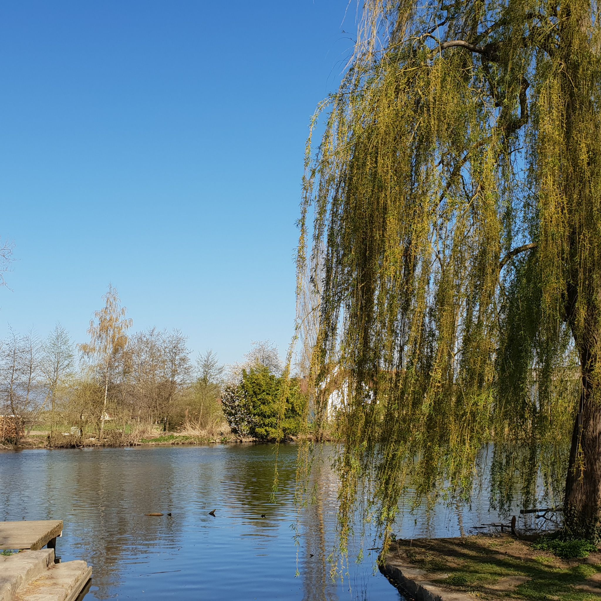
You look across the Ill at the beautiful Château de Werde.
0
0

Guided tours at 2:30 p.m. Delicious things on tap and in the shop.
1
0
Frequently Asked Questions
How many hiking trails are available around Huttenheim?
There are nearly 200 hiking routes around Huttenheim, offering a wide variety of options for different preferences and skill levels. You'll find everything from easy riverside strolls to more moderate loops through the countryside.
What kind of terrain can I expect on hikes in Huttenheim?
The terrain around Huttenheim is largely defined by the Grand Ried, a unique natural region with expansive water meadows and lush floodplain forests between the Ill and Rhine rivers. Most routes feature generally low elevation gains, making them accessible. You can expect peaceful paths along the serene Ill River and through open meadows.
Are there easy hiking trails suitable for beginners or casual walkers?
Yes, Huttenheim offers a significant number of easy trails. Over 100 routes are classified as easy, perfect for beginners or those looking for a relaxed walk. An example is the Hiking loop from Benfeld, which is 6.8 km long and features minimal elevation changes.
What natural features or landmarks can I see while hiking in Huttenheim?
Hikers can enjoy the scenic Ill River, which winds through the Ill*Wald protected reserve, home to diverse wildlife like deer, beavers, and kingfishers. Many trails also offer picturesque views of Château Werde, such as the Weir on the Ill – View of Château Werde loop from Matzenheim. You might also encounter interesting structures like bridges and weirs along the river.
Are there any circular hiking routes in the Huttenheim area?
Yes, many of the hiking routes around Huttenheim are circular, allowing you to start and end at the same point. For instance, the Stotzeim loop from Stotzheim is a popular 10.4 km circular trail that takes you through the local countryside.
What do other hikers say about the trails in Huttenheim?
The hiking trails in Huttenheim are highly regarded by the komoot community, with an average rating of 4.5 stars from over 1200 reviews. Hikers often praise the peaceful riverside paths, the natural beauty of the Grand Ried, and the well-maintained routes suitable for various abilities.
Are there any family-friendly hiking options in Huttenheim?
Yes, the generally flat and accessible terrain makes many trails around Huttenheim suitable for families. The Bridge over the Ill – Bridge Over the Mühlwasser loop from Matzenheim is an easy 4.8 km route that offers a pleasant stroll along the river, ideal for families.
Can I bring my dog on the hiking trails in Huttenheim?
Many trails in the Bas-Rhin region are dog-friendly, especially those through natural areas like the Grand Ried. It's generally recommended to keep dogs on a leash, particularly in nature reserves like the Ill*Wald, to protect local wildlife. Always check local signage for specific rules.
What is the best time of year to go hiking in Huttenheim?
The region's landscapes, with their interplay of light on meadows and reflections on rivers, are enchanting throughout the seasons. Spring and autumn offer pleasant temperatures and beautiful colors, while summer is ideal for enjoying the lush greenery. Even in winter, the floodplain forests have a unique charm.
Are there any historical or cultural attractions to explore in Huttenheim?
Beyond the natural beauty, Huttenheim offers a dedicated Historical Heritage Trail within the village itself. This trail allows visitors to explore charming buildings and learn about local history, providing a cultural dimension to your outdoor activities.
What other attractions are nearby that I can combine with a hike?
Beyond the trails, you can explore highlights such as the Rhine–Rhône Canal Cycle Route, the Free ferry between Kappel am Rhein and Rhinau, or the Taubergießen Floodplain. The Vineyards around Mittelbergheim also offer a different scenic experience nearby.
Is public transport available to reach trailheads in the Huttenheim area?
While specific public transport connections to every trailhead can vary, the region is generally accessible. For detailed information on bus or train services to specific starting points, it's advisable to consult local transport schedules or the regional tourism office.
Most popular attractions around Huttenheim

Get inspired with the komoot mobile app


Explore more
Browse the best Hikes in other regions.
