The best walks and hikes around Kerzfeld
4.5
(1847)
9,542
hikers
418
hikes
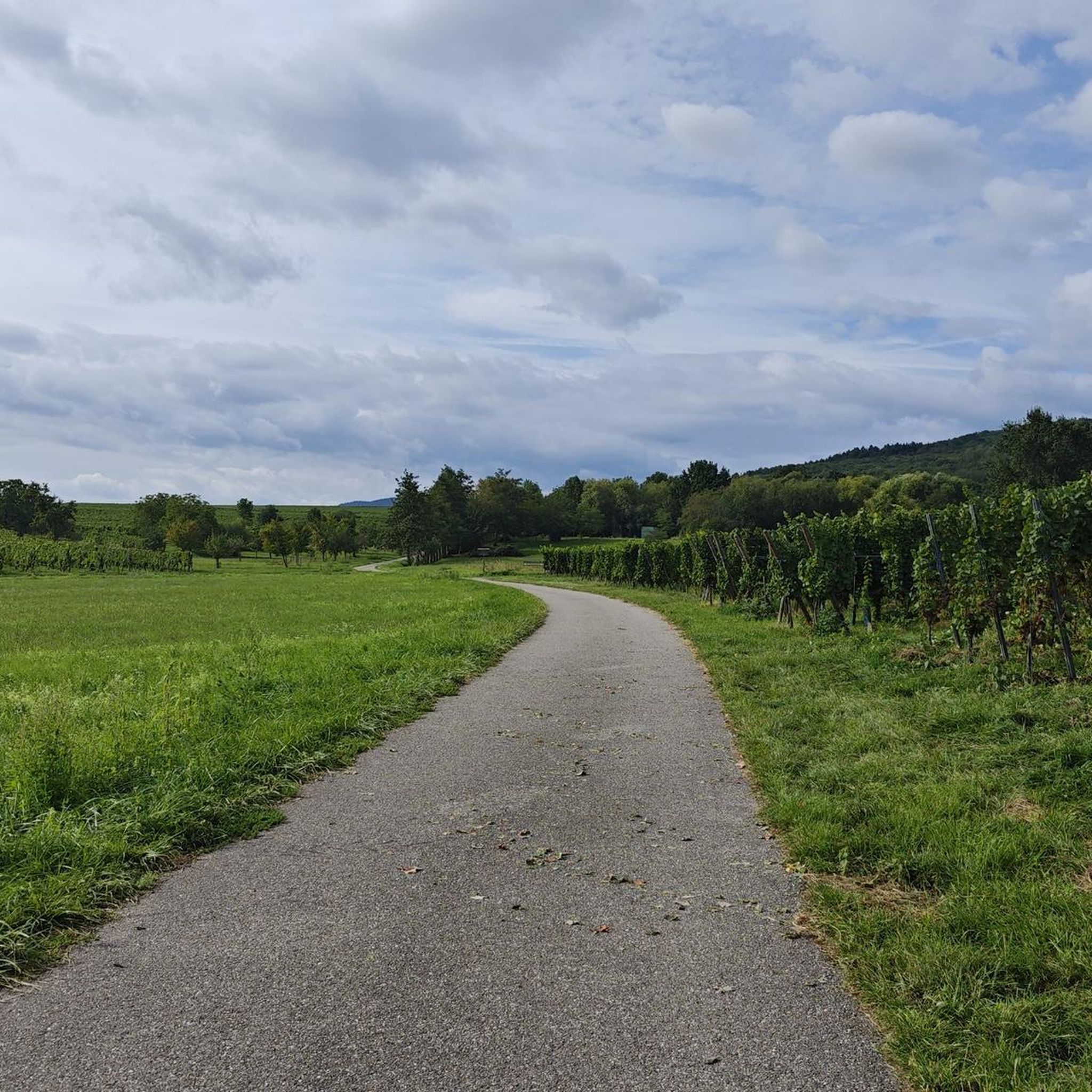
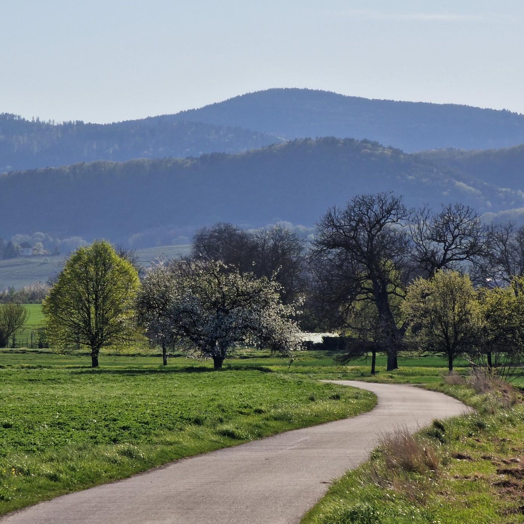
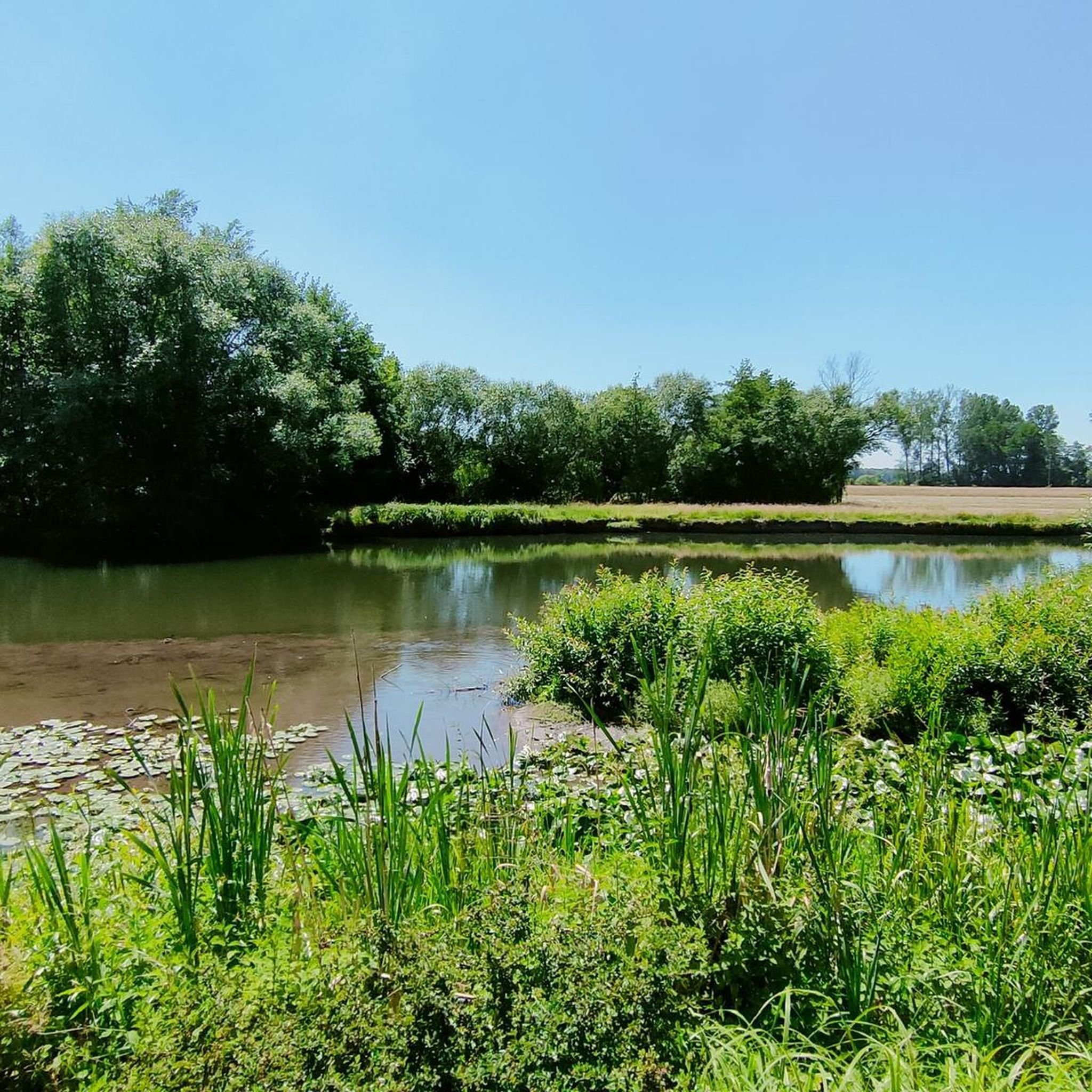
Hiking around Kerzfeld offers varied outdoor experiences, primarily characterized by its accessible paths along the Ill River and views of historical landmarks like Château Werde. The region features a mix of easy and moderate trails, with some routes providing gentle elevation gains across meadows and through local landscapes. These hiking trails Kerzfeld provide opportunities to explore the area's natural and historical features.
Best hiking trails around Kerzfeld
- The most popular hiking route is View of Château Werde – Hoffmatt Meadow…
Last updated: June 28, 2026
4.5
(6)
22
hikers
16.0km
04:03
30m
30m
Moderate hike. Good fitness required. Easily-accessible paths. Suitable for all skill levels.
3.3
(4)
24
hikers
6.92km
01:45
10m
10m
Easy hike. Great for any fitness level. Easily-accessible paths. Suitable for all skill levels.

Sign up for free
3.7
(3)
12
hikers
5.27km
01:20
10m
10m
Easy hike. Great for any fitness level. Easily-accessible paths. Suitable for all skill levels.
8
hikers
Easy hike. Great for any fitness level. Easily-accessible paths. Suitable for all skill levels.
4.0
(2)
8
hikers
3.55km
00:54
0m
0m
Easy hike. Great for any fitness level. Easily-accessible paths. Suitable for all skill levels.
Get access to more routes and recommendations from other explorers.
Sign up for free
Already have an account?
Our route recommendations are based on thousands of hikes, rides, and runs completed by other people on komoot.
Start today with a free account
Your next adventure awaits.
Login or Signup

Tips from the Community

https://www.youtube.com/watch?v=CiK7QnUOZD8 This half-timbered building (1531) owes its usual name, the “laube”, to the hall on its ground floor. The octagonal turret (1619) on its main facade houses a spiral staircase and carries a beautiful wooden automaton clock. To the right of the large dial, Archduke Leopold of Austria (1586-1632), prince-bishop of Strasbourg, in armor, strikes the quarter hours. On the left, Death holds a scythe and an hourglass which she turns every hour. Above these symbols of wisdom and impartiality appears Stubbehansel, mayor of Benfeld who administered justice until the day when, having betrayed his fellow citizens, he was caught by it. The purse he holds in his left hand evokes the vanity of money, the scepter, that of power. The large dial indicates Paris time, which is 29 minutes ahead of Strasbourg time, given in the small dial at the bottom. This set was installed in 1856 by Jean-Baptiste Schwilgué, creator of the astronomical clock of Strasbourg Cathedral.
0
0

One of the numerous microbreweries in Alsace
0
0

You look across the Ill at the beautiful Château de Werde.
0
0
Frequently Asked Questions
What types of hiking trails can I find around Kerzfeld?
Kerzfeld offers a diverse range of hiking trails, primarily characterized by accessible paths along the Ill River and scenic views of historical landmarks like Château Werde. You'll find a mix of easy and moderate routes, with some providing gentle elevation gains across meadows and through local landscapes. There are over 400 routes in total, catering to various fitness levels.
Are there easy hiking options suitable for beginners or casual walkers?
Yes, Kerzfeld is well-suited for easy walks. More than half of the trails, specifically 221 routes, are classified as easy. An example is the Hiking loop from Benfeld, which is 4.3 miles (6.9 km) long and offers an accessible experience. Another easy option is the Bridge over the Ill loop from Sand, featuring the Ill River.
What kind of moderate hikes are available in the Kerzfeld area?
For those looking for a bit more challenge, Kerzfeld features 155 moderate hiking routes. A popular moderate option is the View of Château Werde – Hoffmatt Meadow loop from Benfeld. This 10.0-mile (16.0 km) trail offers views of Château Werde and crosses the Hoffmatt Meadow, taking approximately 4 hours to complete.
Are there any circular hiking routes around Kerzfeld?
Many of the trails around Kerzfeld are designed as loops, offering convenient circular walks. For instance, the Weir on the Ill – View of Château Werde loop from Matzenheim is a 3.3-mile (5.3 km) trail that leads through the Ill River area. Another circular option is the Bridge over the Ill – Bridge Over the Mühlwasser loop from Matzenheim, an easy and short hike.
What landmarks or points of interest can I see while hiking in Kerzfeld?
Hiking around Kerzfeld often provides views of historical landmarks such as Château Werde. The region is also defined by the Ill River, which many trails follow or cross. Beyond the immediate trails, you can explore nearby attractions like the Rhine–Rhône Canal Cycle Route, the Canal du Rhône au Rhin Lock and Lockkeeper's House, or visit the charming town of Obernai.
Are the hiking trails in Kerzfeld suitable for families with children?
Yes, many of the easy and moderate trails around Kerzfeld are suitable for families. The paths are generally accessible, particularly those along the Ill River and through meadows. Routes with minimal elevation gain and shorter distances, like the various loops starting from Matzenheim or Sand, are good choices for family outings.
Can I bring my dog on the hiking trails in Kerzfeld?
The trails around Kerzfeld are generally dog-friendly, offering open spaces and natural environments for walks. It's always advisable to keep dogs on a leash, especially in areas with wildlife or near agricultural land, and to carry waste bags. Specific restrictions may apply in certain protected areas, so always check local signage.
What is the best time of year to go hiking in Kerzfeld?
The Kerzfeld region is enjoyable for hiking across multiple seasons. Spring and autumn offer pleasant temperatures and vibrant scenery, with blooming flowers or colorful foliage. Summer is also suitable, especially for walks along the river where it might be cooler. Winter hikes are possible on the easier, well-maintained paths, though conditions can vary.
What do other hikers say about the trails in Kerzfeld?
The hiking routes in Kerzfeld are highly regarded by the komoot community, holding an average rating of 4.5 stars from over 1,700 reviews. Hikers often praise the accessible paths, the scenic views of Château Werde, and the peaceful atmosphere along the Ill River and through the open meadows.
Are there any castles or historical sites to visit near the hiking routes?
Yes, the region is home to several historical sites. While hiking, you'll often catch views of Château Werde. Additionally, you can explore other nearby castles such as Andlau Castle, Landsberg Castle, or the Blienschwiller Gate, which are all within a reasonable distance from Kerzfeld.
Is public transport available to access the hiking trails in Kerzfeld?
While specific public transport connections directly to every trailhead may vary, towns like Benfeld and Matzenheim, which serve as starting points for several popular routes, are generally accessible by local transport. It's recommended to check local bus or train schedules for the most up-to-date information on reaching specific starting points.
Are there parking facilities available at the trailheads?
Many of the popular hiking routes around Kerzfeld, especially those starting from towns like Benfeld, Matzenheim, or Sand, typically have designated parking areas nearby. These are often found close to the town centers or at common starting points for outdoor activities. Always look for local signage regarding parking regulations.
Most popular attractions around Kerzfeld

Get inspired with the komoot mobile app


Explore more
Browse the best Hikes in other regions.
