The best road cycling routes around Sand
4.4
(176)
3,782
riders
214
rides
Road cycling routes around Sand traverse a landscape characterized by a mix of flat canal paths, rolling vineyards, and ascents to mountain passes. The region features routes along the Rhine Canal, through historic old towns, and into the foothills with notable climbs. Elevation changes vary from minimal on canal routes to significant on routes crossing passes.
Best road cycling routes around Sand
- The most popular road cycling route is Heiligenstein – Obernai Old Town loop from Matzenheim, a 41.0…
Last updated: May 23, 2026
4.7
(7)
313
riders
64.1km
03:09
770m
770m
Moderate road ride. Good fitness required. Mostly well-paved surfaces and easy to ride.
134
riders
37.2km
01:36
190m
190m
Easy road ride. Great for any fitness level. Mostly well-paved surfaces and easy to ride.

Sign up for free
4.2
(13)
44
riders
50.3km
02:12
290m
290m
Moderate road ride. Good fitness required. Mostly well-paved surfaces and easy to ride.
47
riders
60.6km
02:21
70m
70m
Moderate road ride. Good fitness required. Mostly well-paved surfaces and easy to ride.
5.0
(1)
37
riders
58.3km
02:31
320m
320m
Moderate road ride. Good fitness required. Mostly well-paved surfaces and easy to ride.
Get access to more routes and recommendations from other explorers.
Sign up for free
Already have an account?
Our route recommendations are based on thousands of hikes, rides, and runs completed by other people on komoot.
Start today with a free account
Your next adventure awaits.
Login or Signup
Tips from the Community

abandoned road with beautiful view.
0
0

The Saint-Nabor promontory, located in Alsace at the foot of Mont Sainte-Odile, offers a natural site rich in history and geology. It is known for its old porphyry quarries, a volcanic rock formed in the Carboniferous period, exploited long before their closure in 2002. The promontory rises to an altitude of approximately 340 meters in a semi-continental microclimate favoring vineyards and forests. It constitutes a belvedere offering a remarkable panorama of the Alsace plain, as far as Strasbourg and the Black Forest on a clear day. The site is accessible by well-marked hiking trails, notably the Saint-Nabor loop which passes by the Sainte-Lucie Fountain and the Pagan Wall. This peaceful place, away from the tourist hustle and bustle, is also a starting point for discovering the region, its heritage and its peaceful landscapes. It is steeped in history linked to the nearby Niedermunster monastery, now in ruins, and the presence of medieval remains.
0
0

That was a great view of Andlau
1
0

Andlau was founded in 880 by Empress Richardis. She had been banished by her husband, Emperor Charles III, and was later canonized. Her tomb in Andlau became a place of pilgrimage. According to legend, a wild bear showed her the perfect spot (Wikipedia). Wonderful Crus are produced from the vineyards here.
5
0


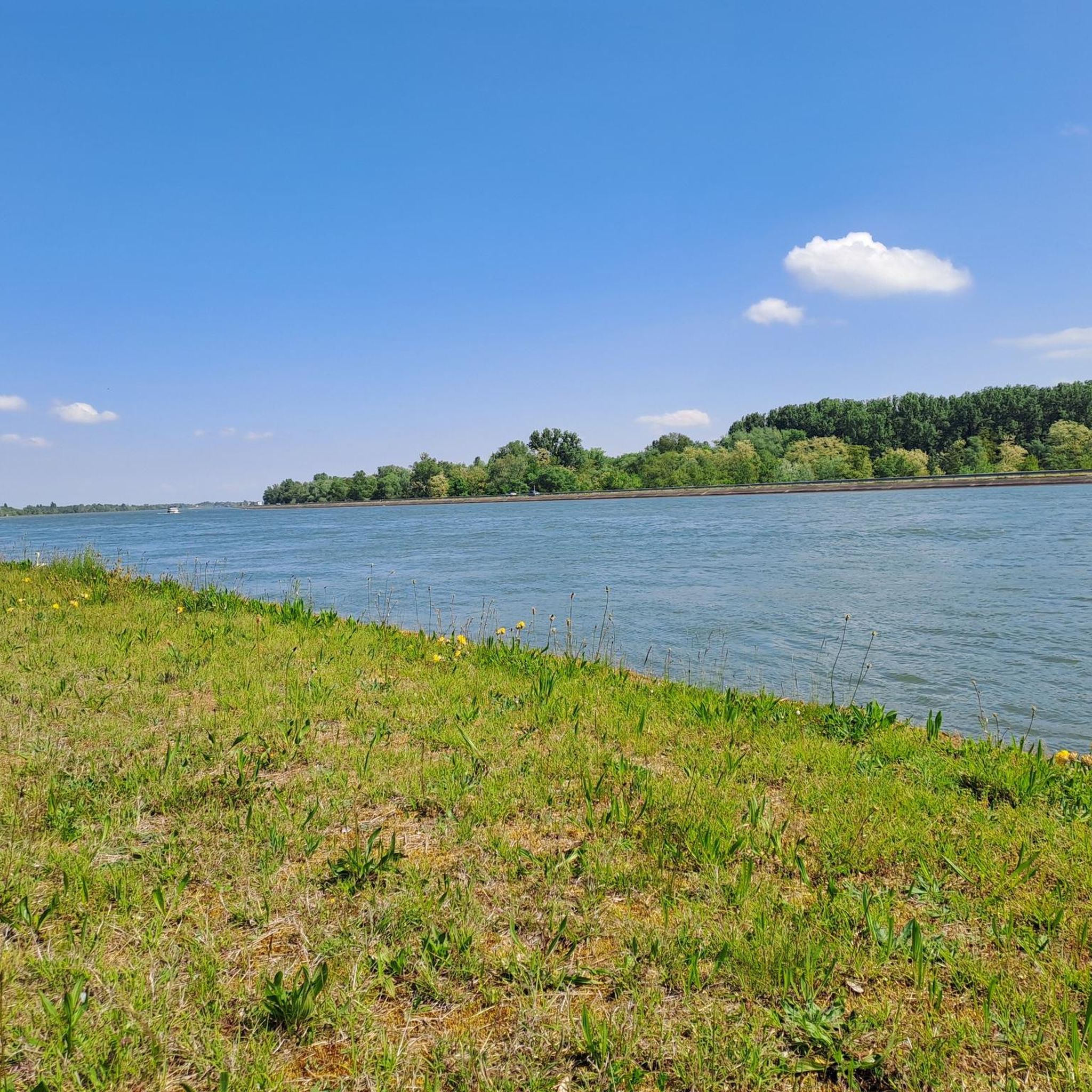
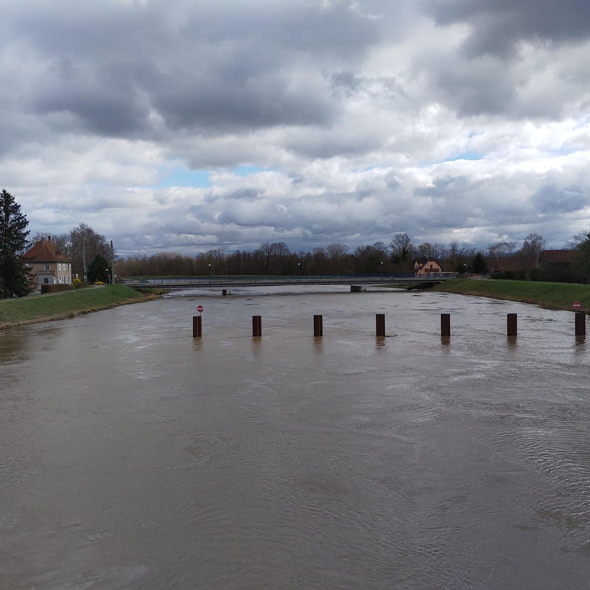
A 50-km paved bike path, straight along the canal. And without any traffic of any kind. Cycling along it was simply fantastic ❗️❗️❗️
0
0

Very pleasant circuit. No difficulty.
0
0

The parish church, built in 1771 in Ottrott-le-Haut, is dedicated to Saints Simon and Jude and features the characteristics of 17th-century Alsatian churches. In 1793, Silbermann organs from the Collegiate Church of St. Leonard were installed there. Numerous concerts were held there, to the great delight of music lovers.
3
0
Frequently Asked Questions
How many road cycling routes are available around Sand?
There are over 200 road cycling routes around Sand, offering a wide range of options for different skill levels and preferences.
Are there easy road cycling routes suitable for beginners or families around Sand?
Yes, Sand offers nearly 50 easy road cycling routes. A great option is the Heiligenstein – Obernai Old Town loop from Benfeld, which is 23.1 miles (37.2 km) and leads through historic towns and gentle hills.
What kind of terrain can I expect on road cycling routes in Sand?
Road cycling routes around Sand traverse a varied landscape, including flat canal paths, rolling vineyards, and ascents to mountain passes. You'll find routes along the Rhine Canal, through historic old towns, and into the foothills.
Are there challenging road cycling routes for experienced cyclists in Sand?
Absolutely. For experienced cyclists seeking a challenge, there are 20 difficult routes. The Kreuzweg Pass (768 m) – Charbonnière Pass loop from Benfeld is a demanding 71.8 miles (115.6 km) path featuring substantial climbs to two mountain passes.
What are some scenic highlights or attractions I can see along road cycling routes in Sand?
Many routes offer scenic views and pass by interesting attractions. You can cycle along the Canal du Rhône au Rhin Tree-Lined Path or the Rhine–Rhône Canal Cycle Route. The Taubergießen Floodplain is another natural highlight in the area.
Are there circular road cycling routes available in Sand?
Yes, many routes in Sand are designed as loops. For example, the popular Heiligenstein – Obernai Old Town loop from Matzenheim is a 41.0 miles (66.0 km) circular route with significant elevation gain.
What do other road cyclists say about the routes in Sand?
The road cycling routes in Sand are highly rated by the komoot community, with an average score of 4.5 stars from over 180 reviews. Cyclists often praise the varied terrain, from flat canal paths to challenging mountain passes, and the well-maintained routes.
Are there routes that explore the Alsace Wine Route vineyards?
Yes, you can explore the famous Alsace Wine Route by bike. The Alsace Wine Route Vineyards – Andlau loop from Matzenheim is a moderate 65.7 km (40.8 miles) route that takes you through these picturesque vineyards.
Can I find routes along the Rhine Canal?
Certainly. The region features several routes along the Rhine Canal, offering flat and scenic rides. An example is the Rhine Canal Cycle Path – Rhône–Rhine Canal loop from Benfeld, an easy 31.3 km (19.5 miles) route.
What is the typical duration for road cycling routes around Sand?
Route durations vary significantly based on distance and elevation. Easy routes like the Rhine Canal loop can take around 1 hour 15 minutes, while more challenging routes such as the Kreuzweg Pass loop can take over 5 hours 45 minutes.
Are there any natural attractions like lakes near the road cycling routes?
Yes, the area around Sand features several natural attractions, including lakes. You can find highlights like the Blaues Loch Pond in Taubergießen and Grünloch Lake, which are often accessible or visible from various routes.
Most popular attractions around Sand

Get inspired with the komoot mobile app


Explore more
Browse the best Road cycling routes in other regions.
