The best walks and hikes around Saint-Yrieix-Sur-Charente
4.6
(199)
1,096
hikers
28
hikes
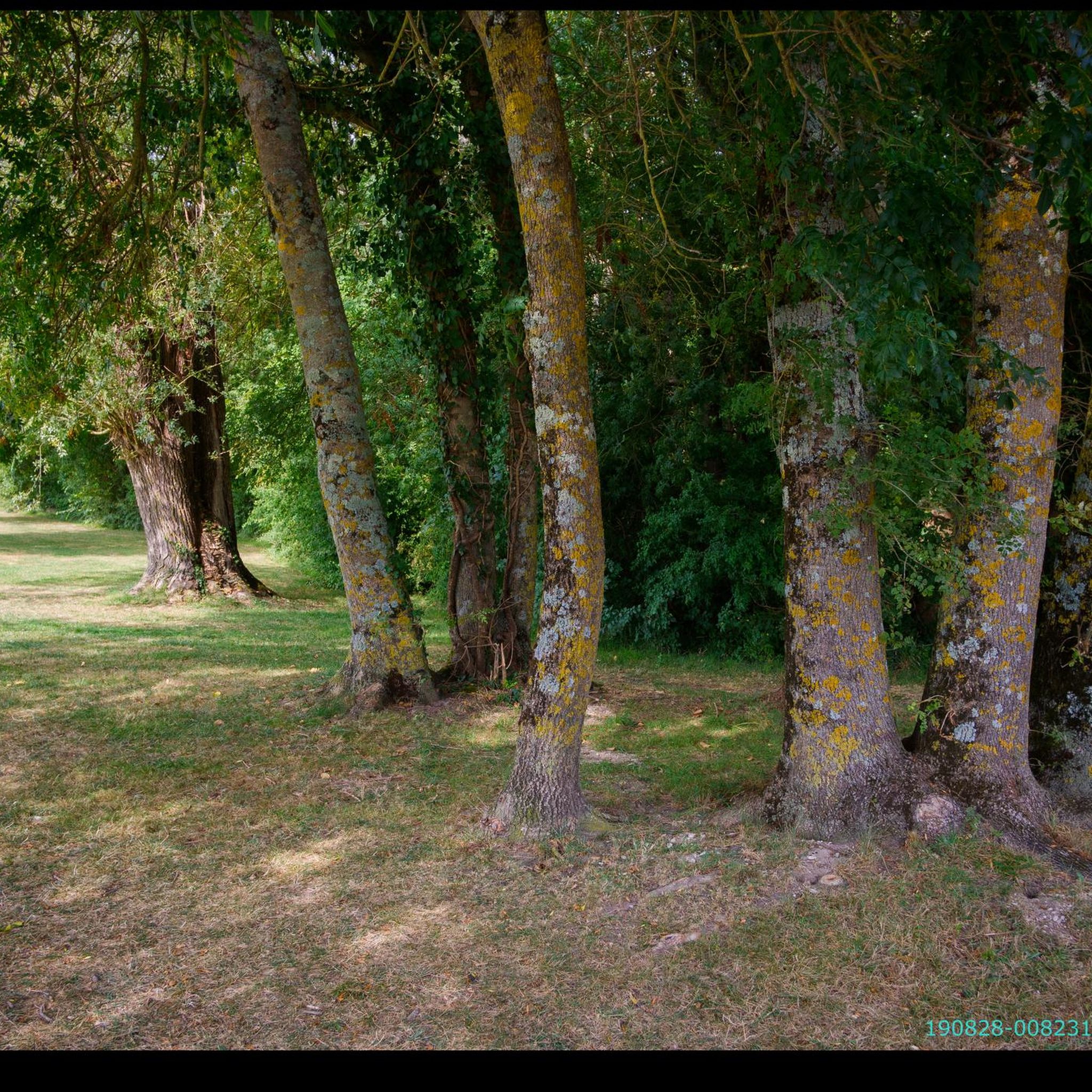
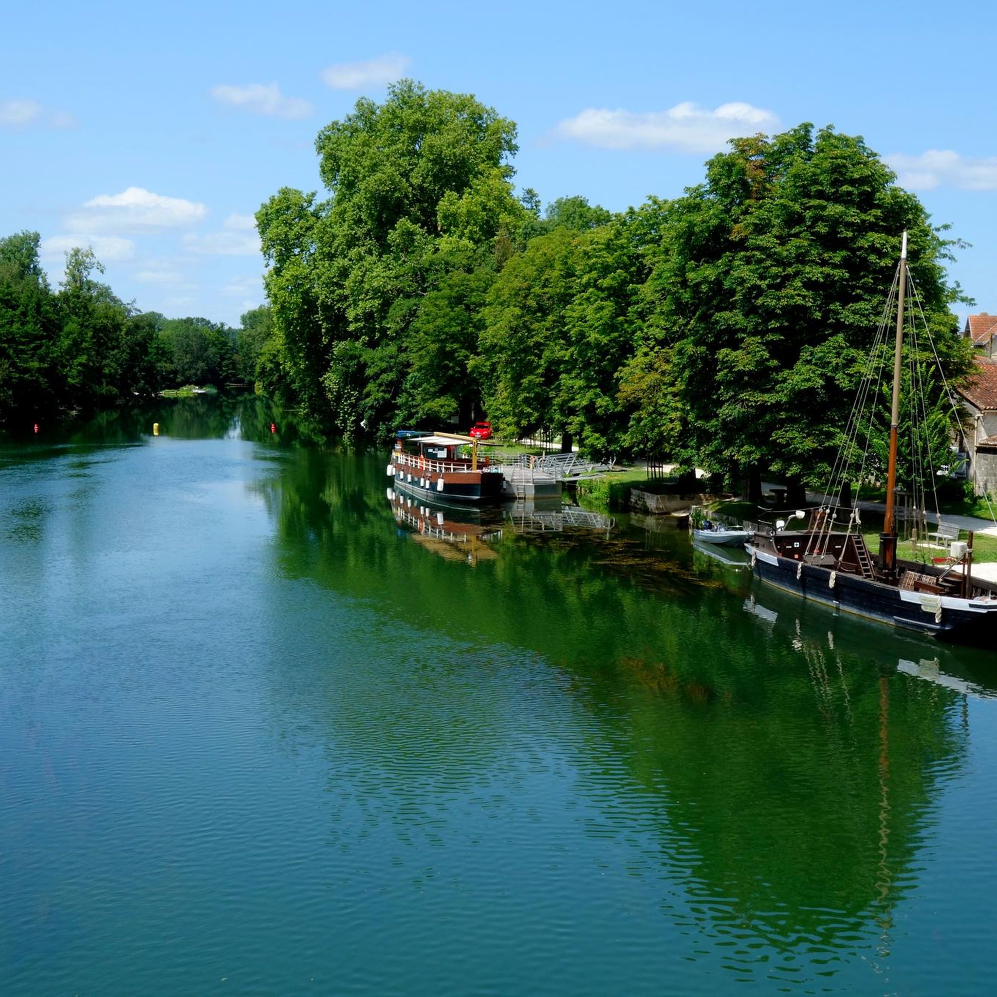
Hiking around Saint-Yrieix-Sur-Charente offers diverse landscapes centered around the Charente River and the Plan d'eau de la Grande Prairie. The terrain features gentle countryside, wooded areas like the bois des Rouyers, and the "Coulée Verte" green corridor. Elevation changes are generally modest, providing accessible routes for various fitness levels. The region's trails often follow riverbanks, encircle the lake, or traverse rural paths.
Best hiking trails around Saint-Yrieix-Sur-Charente
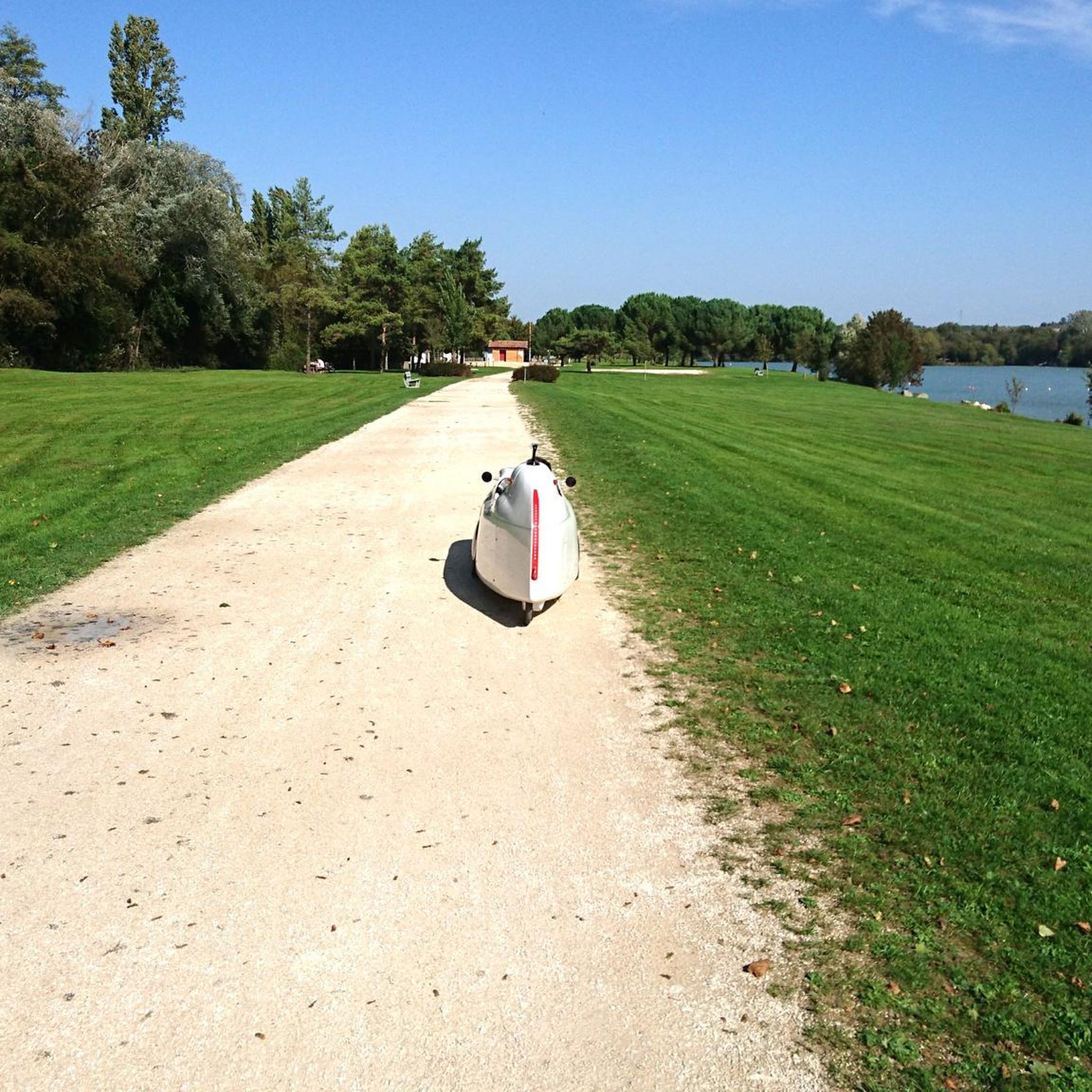
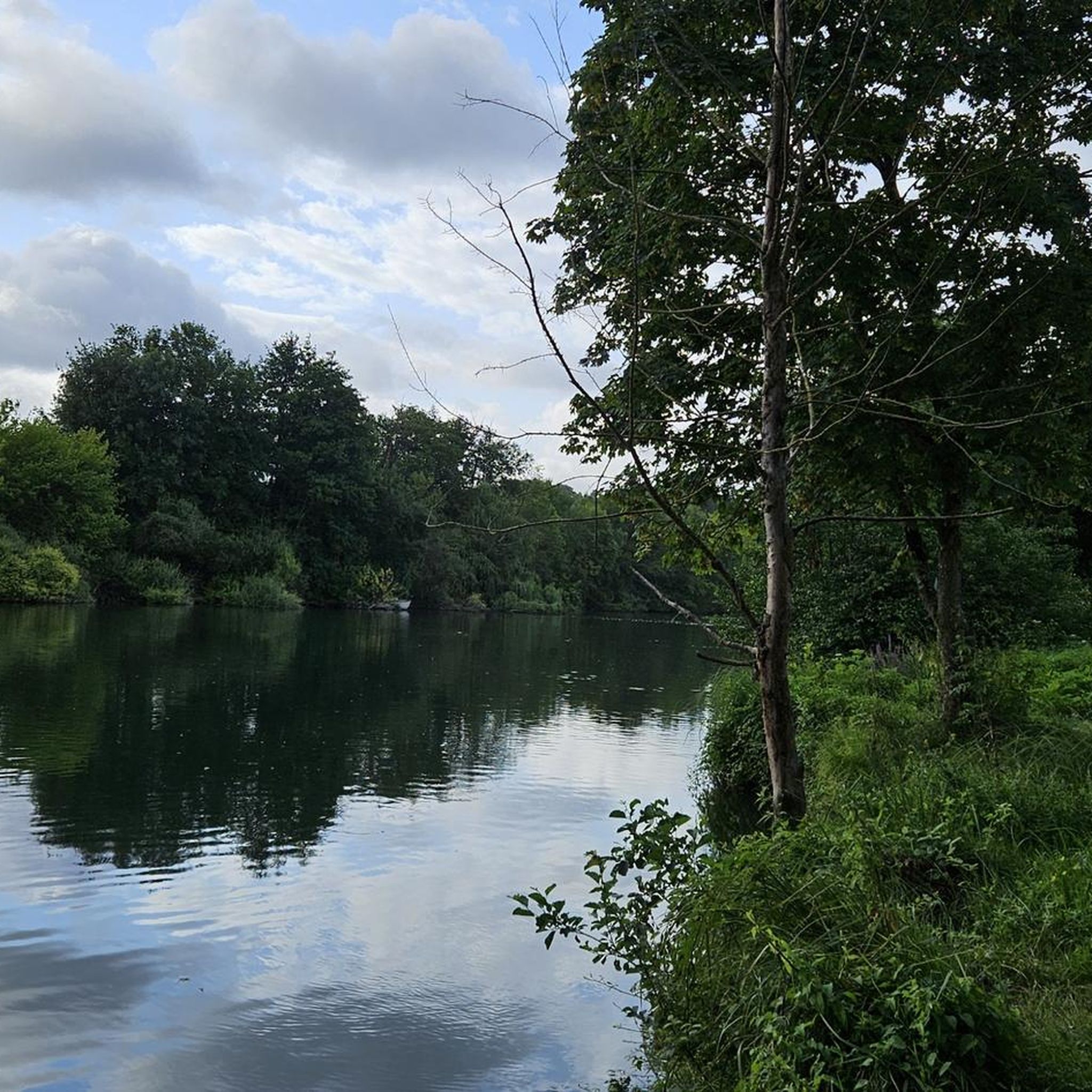
- The most popular hiking route is Lac de Saint-Yrieix Loop, a 4.3 miles (6.9 km) trail that takes 1 hour 45 minutes to complete. This easy route circles the Plan d'eau de la Grande Prairie, offering peaceful lakeside scenery.
- Another top favourite among local hikers is Saint-Yrieix and Angouleme - loop, a moderate 11.2 miles (18.0 km) path. This route combines natural landscapes with views towards the nearby city of Angoulême.
- Local hikers also love the Hugo Pratt footbridge – Angoulême Green Belt loop from Saint-Yrieix-sur-Charente, an 11.2 miles (18.1 km) trail leading through the "Coulée Verte" and along the Charente River, often completed in about 4 hours 40 minutes.
- Hiking around Saint-Yrieix-Sur-Charente is defined by river paths along the Charente, circuits around the Grande Prairie Lake, and routes through wooded areas. The network offers options for different ability levels, from easy strolls to moderate longer trails.
- The routes in Saint-Yrieix-Sur-Charente are highly rated by the komoot community with an average score of 4.6 stars from more than 180 reviews. More than 1000 hikers have used komoot to explore Saint-Yrieix-Sur-Charente's varied terrain.
Last updated: June 23, 2026
4.8
(9)
21
hikers
6.90km
01:45
20m
20m
Easy 4.3-mile (6.9 km) hike around Lac de Saint-Yrieix in Plan d'eau de la Grande Prairie, offering peaceful lakeside views.
5.0
(1)
16
hikers
18.0km
03:42
80m
80m
Moderate hike. Good fitness required. Easily-accessible paths. Suitable for all skill levels.

Sign up for free
4.8
(10)
236
hikers
Easy hike. Great for any fitness level. Easily-accessible paths. Suitable for all skill levels.
4.8
(6)
58
hikers
11.8km
03:00
40m
40m
Moderate hike. Good fitness required. Easily-accessible paths. Suitable for all skill levels.
4.0
(1)
10
hikers
8.03km
02:09
90m
90m
Moderate hike. Good fitness required. Easily-accessible paths. Suitable for all skill levels.
Get access to more routes and recommendations from other explorers.
Sign up for free
Already have an account?
Our route recommendations are based on thousands of hikes, rides, and runs completed by other people on komoot.
Start today with a free account
Your next adventure awaits.
Login or Signup
Tips from the Community

Pleasant and easy trail. Ideal for families.
0
0

One of the most beautiful views of the historic heart of Angoulême and the Charente.
1
0
An island of greenery and tranquility in the heart of Angoulême.
1
0

The Oisillon fountain - Flat stone hut, which hides a source.
1
0

The green corridor was built on old towpaths which run along the river. In Angoulême, we come across many walkers who come to enjoy the freshness of the river and the surrounding greenery.
2
0

The station os worth visiting and do pay attention when leaving the city by car
0
1

The Flow Vélo is a very beautiful route, ideal for bucolic or family cycling trips.
1
0

An energizing run around the lake is recommended all year round, with the perfect path ensuring sure footing all around the lake.
3
0
Frequently Asked Questions
How many hiking trails are available around Saint-Yrieix-Sur-Charente?
There are nearly 30 hiking trails around Saint-Yrieix-Sur-Charente, offering a variety of experiences from easy strolls to more moderate, longer routes. The komoot community has explored over 1000 routes in the area.
Are there any easy circular walks suitable for families?
Yes, the region offers several easy circular walks. The Lac de Saint-Yrieix Loop is an excellent choice. This 6.9 km (4.3 miles) route around the Plan d'eau de la Grande Prairie takes about 1 hour 45 minutes and is suitable for all fitness levels, offering peaceful lakeside scenery.
What kind of landscapes can I expect to see on a hike here?
Hiking around Saint-Yrieix-Sur-Charente offers diverse landscapes. You'll find picturesque routes along the Charente River, tranquil paths around the Plan d'eau de la Grande Prairie, and trails through wooded areas like the 'bois des Rouyers'. Some routes also provide elevated views of local vineyards and glimpses towards Angoulême.
Are there any longer, more challenging routes for experienced hikers?
For those seeking a longer challenge, the Saint-Yrieix and Angouleme - loop is a moderate 18.0 km (11.2 miles) path that combines natural landscapes with views towards the nearby city. Another option is the Hugo Pratt footbridge – Angoulême Green Belt loop from Saint-Yrieix-sur-Charente, an 18.1 km (11.2 miles) trail through the 'Coulée Verte' along the Charente River.
What are the best places to explore along the trails?
Along the trails, you can explore the scenic Charente River banks, the expansive Plan d'eau de la Grande Prairie, and the 'Coulée Verte' green corridor with its historic locks and footbridges. Wooded areas like the 'bois des Rouyers' also offer natural beauty. For specific points of interest, consider visiting the Church of Notre-Dame de Trois-Palis or the Charente Riverside Path at La Meure.
Is there good parking available near the trailheads?
Yes, parking is generally available, especially at popular starting points. The area around the Plan d'eau de la Grande Prairie is a well-known spot for outdoor activities and typically offers convenient access and parking for hikers.
What do other hikers enjoy most about the trails in Saint-Yrieix-Sur-Charente?
The trails in Saint-Yrieix-Sur-Charente are highly rated by the komoot community, with an average score of 4.6 stars from over 180 reviews. Hikers often praise the peaceful lakeside scenery, the varied terrain along the riverbanks and through wooded areas, and the accessibility of routes for different fitness levels.
Can I hike with my dog in Saint-Yrieix-Sur-Charente?
Most natural trails in Saint-Yrieix-Sur-Charente, particularly those along the Charente River and through wooded areas, are suitable for hiking with dogs. It's always recommended to keep your dog on a leash and respect local regulations, especially near populated areas or protected wildlife zones.
Are there any opportunities for wild swimming along the hiking routes?
The Plan d'eau de la Grande Prairie is a popular natural sports resort where bathing is permitted, making it a potential spot for a refreshing dip during your hike. For more information on the lake and its facilities, you can visit the Angoulême Tourisme website.
What is the best time of year to go hiking in this region?
The region is enjoyable for hiking throughout much of the year. Spring and autumn offer pleasant temperatures and beautiful scenery, with spring bringing unique flowers like the fritillary to areas like the 'Petite prairie'. Summer is also popular, especially for routes near the lake or shaded riverbanks.
Are there any trails that offer views of vineyards?
Yes, some hiking circuits in the broader countryside, such as the 'Circuit des vignes de Sireuil' mentioned in regional information, offer elevated views of the local vineyards, specifically those of the Cognac region, providing a different scenic perspective.
Can I combine hiking with exploring historical sites?
Absolutely. The 'Coulée Verte' green corridor features historic locks, footbridges, and other architectural heritage along its paths. Additionally, some routes offer glimpses of Angoulême's heritage, and you can visit landmarks like the Saint-Pierre d'Angoulême Cathedral, which is accessible from some of the longer loops.
Most popular routes around Saint-Yrieix-Sur-Charente
Most popular attractions around Saint-Yrieix-Sur-Charente

Get inspired with the komoot mobile app


Explore more
Browse the best Hikes in other regions.
