The best walks and hikes around Saint-Égrève
4.5
(2729)
30,706
hikers
536
hikes
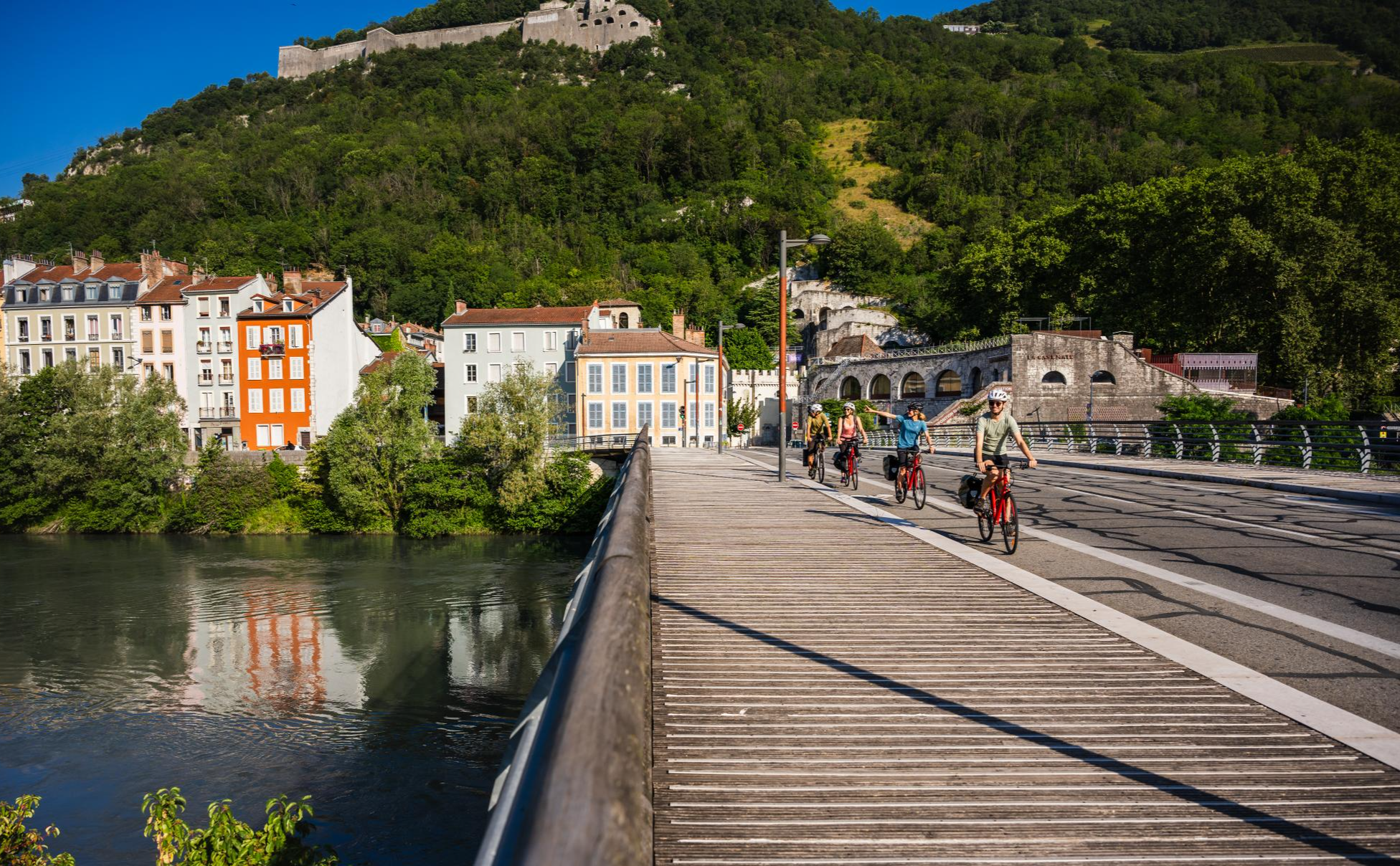
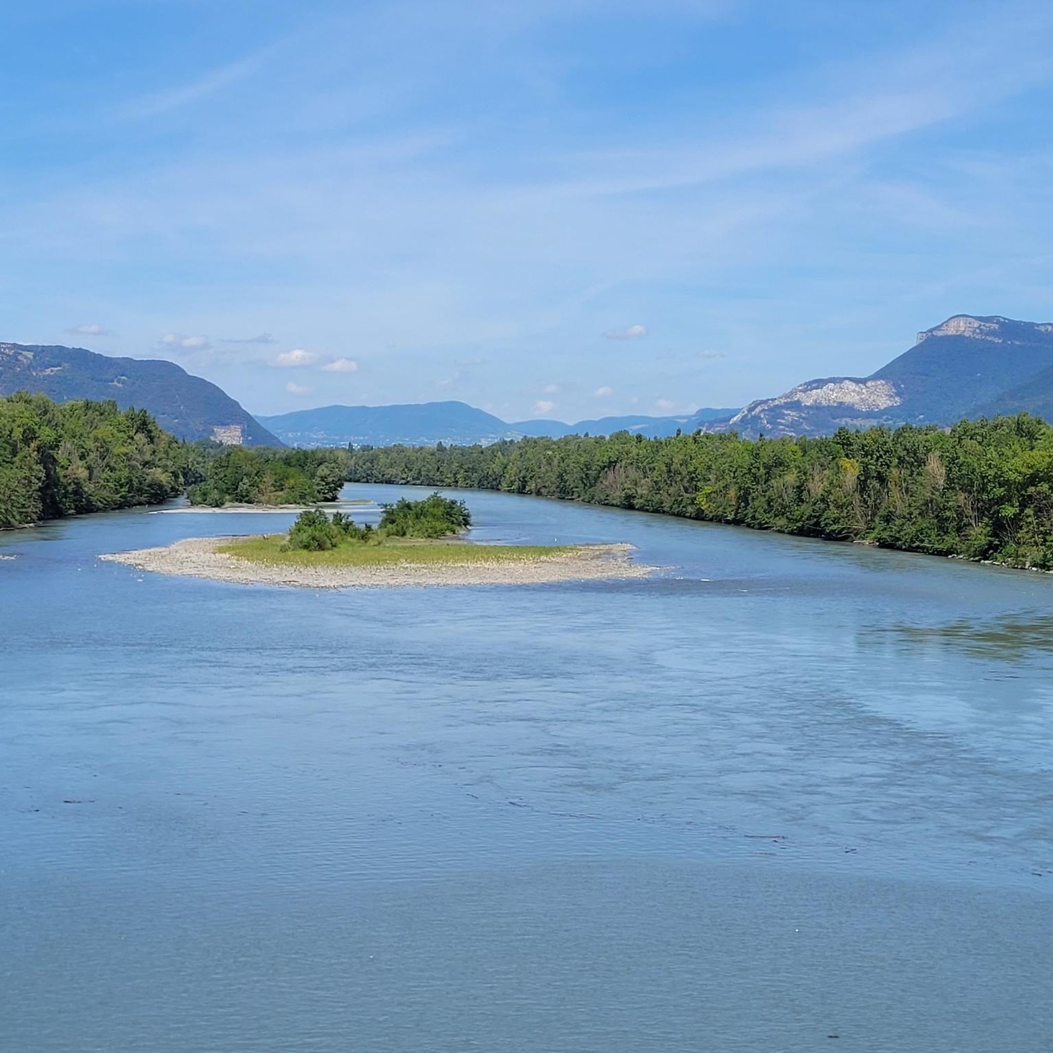
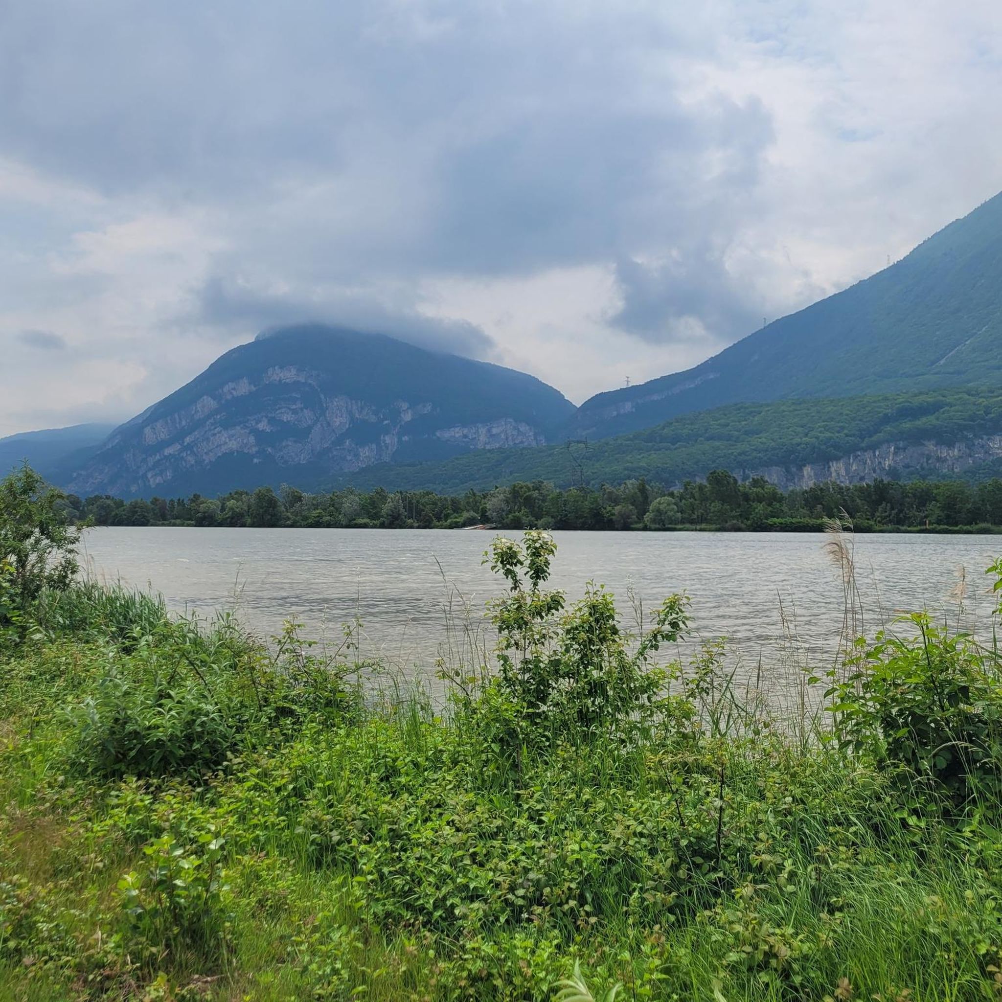
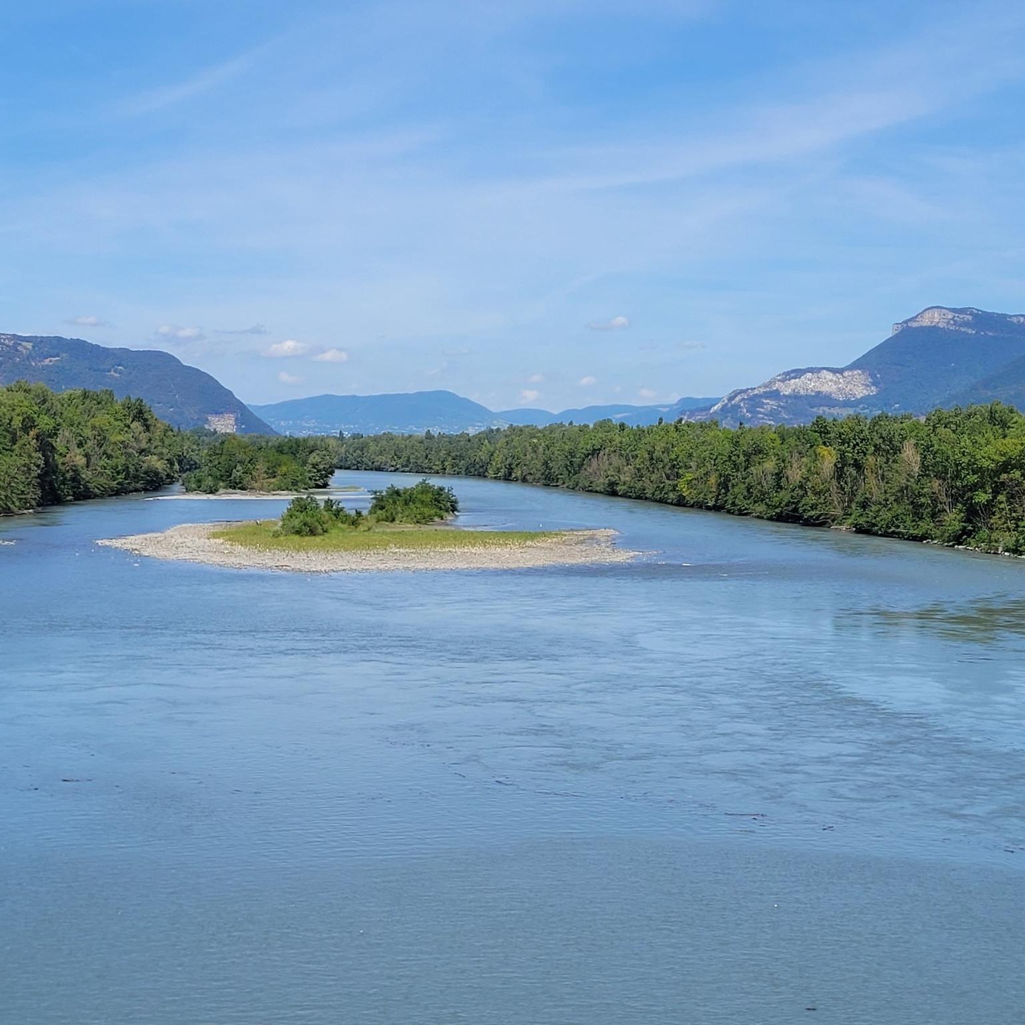
Hiking around Saint-Égrève offers diverse terrain, situated within the Chartreuse Regional Nature Park and bordered by the Isère River. The landscape is characterized by the limestone peaks of the Chartreuse Massif and the prominent Néron Mountain, which rises to 1,298 meters. This area provides a mix of mountain trails, riverside paths, and views towards the Vercors Plateau, catering to various hiking preferences.
Best hiking trails around Saint-Égrève
- The most popular hiking route is Viewpoint – Dolphins' Garden loop from Saint-Égrève…
Last updated: July 9, 2026
4.6
(22)
104
hikers
14.4km
04:41
560m
560m
Hard hike. Good fitness required. Sure-footedness, sturdy shoes and alpine experience required.
4.7
(17)
71
hikers
12.4km
04:59
710m
710m
Hard hike. Good fitness required. Sure-footedness, sturdy shoes and alpine experience required.

Sign up for free
4.2
(5)
36
hikers
14.1km
04:48
560m
560m
Hard hike. Good fitness required. Sure-footedness, sturdy shoes and alpine experience required.
4.7
(3)
39
hikers
4.28km
01:40
220m
220m
Hard hike. Great for any fitness level. Sure-footedness, sturdy shoes and alpine experience required.
5.0
(1)
34
hikers
5.96km
02:27
370m
370m
Moderate hike. Good fitness required. Mostly accessible paths. Sure-footedness required.
Get access to more routes and recommendations from other explorers.
Sign up for free
Already have an account?
Our route recommendations are based on thousands of hikes, rides, and runs completed by other people on komoot.
Start today with a free account
Your next adventure awaits.
Login or Signup


Other adventures around Saint-Égrève

Tips from the Community


Rolling and pleasant trail
0
0

This spot offers a wider view of the Chartreuse mountains. Although still accessible, the trails begin to resemble those found in the Chartreuse mountains once you pass the Bastille.
0
0

Anyone visiting the fortress should also walk through the caves.
1
0

Take the time to climb a little higher than at the Bastille, because it's impressive.
1
0
Beautiful view of the city, both day and night. Drinking water available.
1
0

The path of the vats is a very easy hike, the Furon at one point plunges under the rock. Spectacular
0
0
This is generally the starting point for the Sassenage vats walk
0
0
Frequently Asked Questions
How many hiking trails are available around Saint-Égrève?
Saint-Égrève offers a wide variety of hiking opportunities, with nearly 500 routes available. These trails cater to all levels, from leisurely strolls along the Isère River to challenging ascents in the Chartreuse Massif.
What kind of terrain and difficulty can I expect on hikes in Saint-Égrève?
The terrain around Saint-Égrève is quite diverse. You'll find everything from gentle, flat paths along the Isère River to more strenuous mountain trails in the Chartreuse Massif and up Mont Néron. There are over 115 easy routes, more than 230 moderate trails, and nearly 150 difficult hikes, ensuring options for every fitness level.
Are there family-friendly hiking options in Saint-Égrève?
Yes, Saint-Égrève provides several family-friendly options. The greenway along the Isère River, such as the 'Discovery trail of the ecological corridor of Noyarey - Saint-Egrève', offers accessible routes for walkers and cyclists. Additionally, many of the easier trails (over 115 available) are suitable for families looking for less strenuous outings.
Can I bring my dog on the hiking trails in Saint-Égrève?
While many trails in the region are dog-friendly, it's always recommended to keep your dog on a leash, especially within the Chartreuse Regional Nature Park, to protect local wildlife and respect other hikers. The 'Discovery trail of the ecological corridor of Noyarey - Saint-Egrève' along the Isère River is generally a good option for walks with your canine companion.
What natural landmarks or viewpoints can I discover on hikes?
Hiking around Saint-Égrève offers access to stunning natural landmarks and viewpoints. You can reach summits like The Moucherotte Summit or Chamechaude, offering panoramic views. The 'batteries du Néron' also provide excellent vantage points over the valley. Many trails, like the Valley and view of the Vercors loop from Saint-Égrève, offer glimpses of the Vercors Plateau.
Are there any historical sites or castles to explore on hikes?
Absolutely. The region is rich in history. You can explore sites like the Fort of Saint-Eynard, which is part of a network of 19th-century fortifications. The Narbonne Castle loop from Saint-Égrève is a great example of a trail that explores the local historical landscape. You can also find Sassenage Castle nearby.
What do other hikers enjoy most about hiking in Saint-Égrève?
The area is highly rated by the komoot community, with an average score of 4.5 stars from over 2,600 reviews. Hikers often praise the diverse terrain, from challenging mountain ascents in the Chartreuse Massif to more accessible riverside walks, and the breathtaking views of the surrounding mountains and valleys.
Are there many circular hiking routes available in Saint-Égrève?
Yes, many of the hiking routes around Saint-Égrève are designed as loops, allowing you to start and finish at the same point without retracing your steps. An example is the Viewpoint – Dolphins' Garden loop from Saint-Égrève, which offers significant elevation gain and panoramic views.
Where can I find parking for hiking trails in Saint-Égrève?
Parking is generally available at various trailheads and in the town of Saint-Égrève itself. For specific routes, it's advisable to check the route details on komoot, as many tours provide information on starting points and nearby parking facilities.
Can I reach hiking trails using public transport in Saint-Égrève?
Saint-Égrève is well-connected to the broader Grenoble area's public transport network. Many trails are accessible from within the town or via short connections from public transport stops, making it possible to reach trailheads without a car. For detailed public transport information, it's best to consult local transit schedules.
Are there any trails that offer views of the Vercors Plateau?
Yes, Saint-Égrève's location provides excellent views and relatively easy access to the Vercors Plateau. Trails like the Valley and view of the Vercors loop from Saint-Égrève specifically highlight these scenic vistas, allowing you to enjoy the beauty of this significant mountain range.
What is the 'Discovery trail of the ecological corridor of Noyarey - Saint-Egrève'?
This is an accessible greenway along the Isère River that offers an educational hiking experience. It's designed for walkers and cyclists to observe local wildlife and flora, with an accompanying app for an immersive tour. It's a great option for a leisurely walk and to learn about the local ecosystem. You can find more information about this trail on Grenoble Tourisme.
Most popular routes around Saint-Égrève
Most popular attractions around Saint-Égrève

Get inspired with the komoot mobile app


Explore more
Browse the best Hikes in other regions.
