The best running trails around Mont-Saint-Martin
4.2
(627)
31,507
runners
269
runs
Jogging around Mont-Saint-Martin offers diverse terrain within the Pays-Haut region, characterized by a plateau with varying altitudes and the Chiers river valley. The area, situated at the tripoint of France, Belgium, and Luxembourg, provides opportunities for cross-border running experiences. Frédéric Brigidi Municipal Park serves as a central green space with well-maintained pathways, while surrounding hills offer more challenging inclines. This varied topography supports a range of running styles, from urban park loops to regional trails.
Best jogging routes around Mont-Saint-Martin
…Last updated: September 30, 2026
5.0
(1)
54
runners
22.1km
04:19
1,470m
1,460m
Hard run. Very good fitness required. Sure-footedness, sturdy shoes and alpine experience required.
3
runners
Easy run. Great for any fitness level. Mostly paved surfaces. Suitable for all skill levels.

4.0
(1)
39
runners
6.12km
00:38
30m
30m
Moderate run. Good fitness required. Mostly paved surfaces. Suitable for all skill levels.
5.0
(4)
27
runners
7.38km
00:47
60m
60m
Moderate run. Good fitness required. Mostly paved surfaces. Suitable for all skill levels.
20
runners
10.8km
02:08
770m
770m
Hard run. Very good fitness required. Sure-footedness, sturdy shoes and alpine experience required.
Get access to more routes and recommendations from other explorers.
Already have an account?
Our route recommendations are based on thousands of hikes, rides, and runs completed by other people on komoot.
Start today with a free account
Your next adventure awaits.
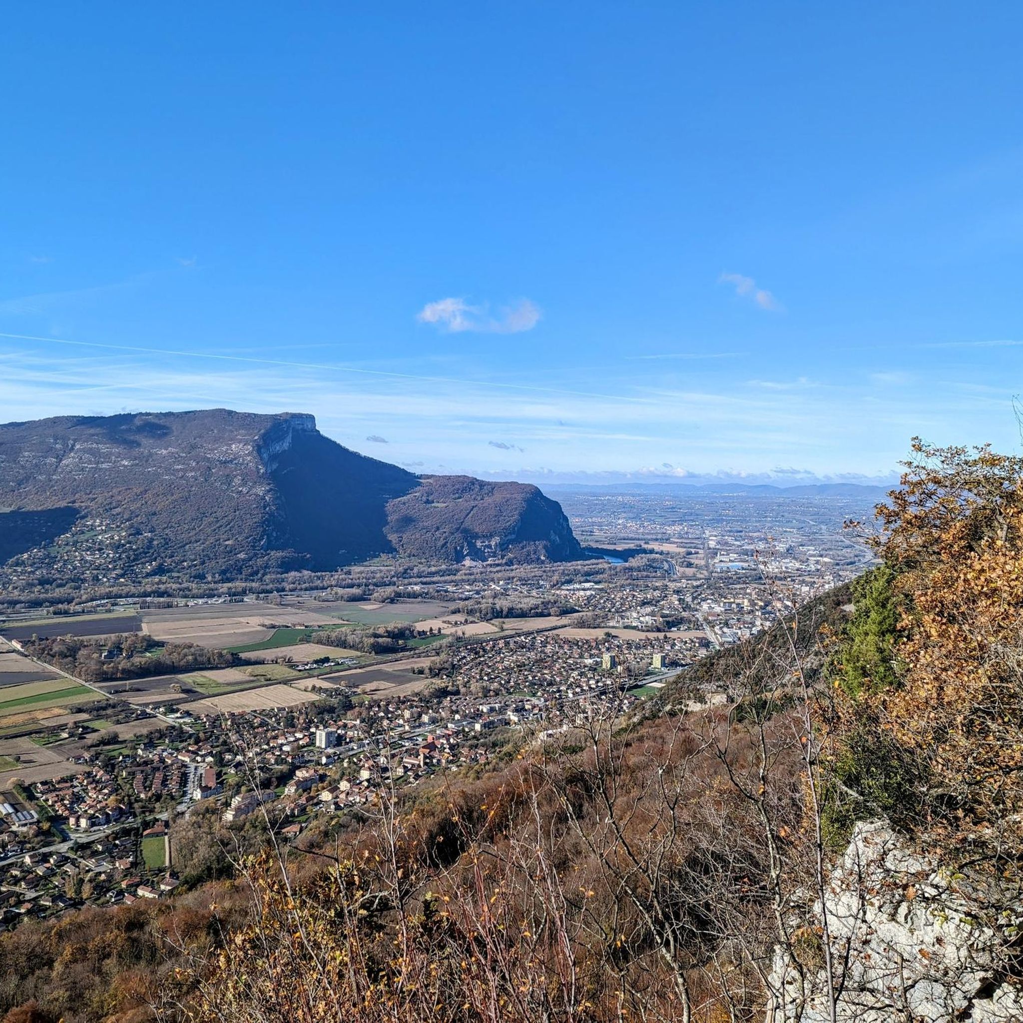
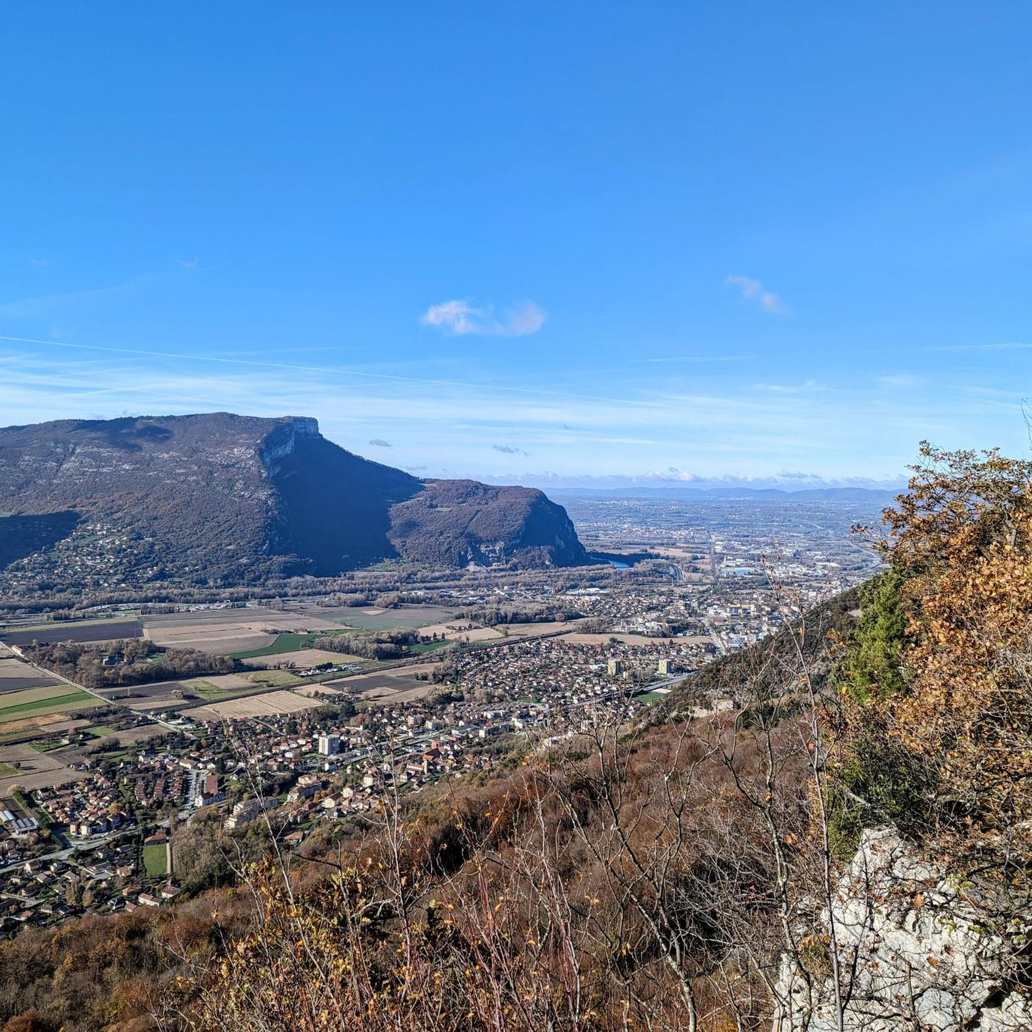
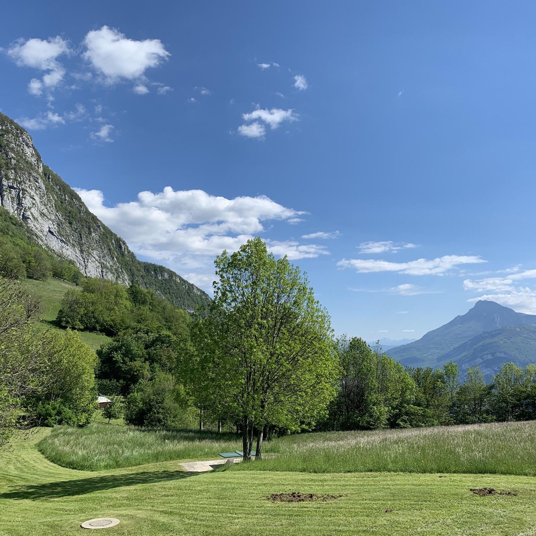
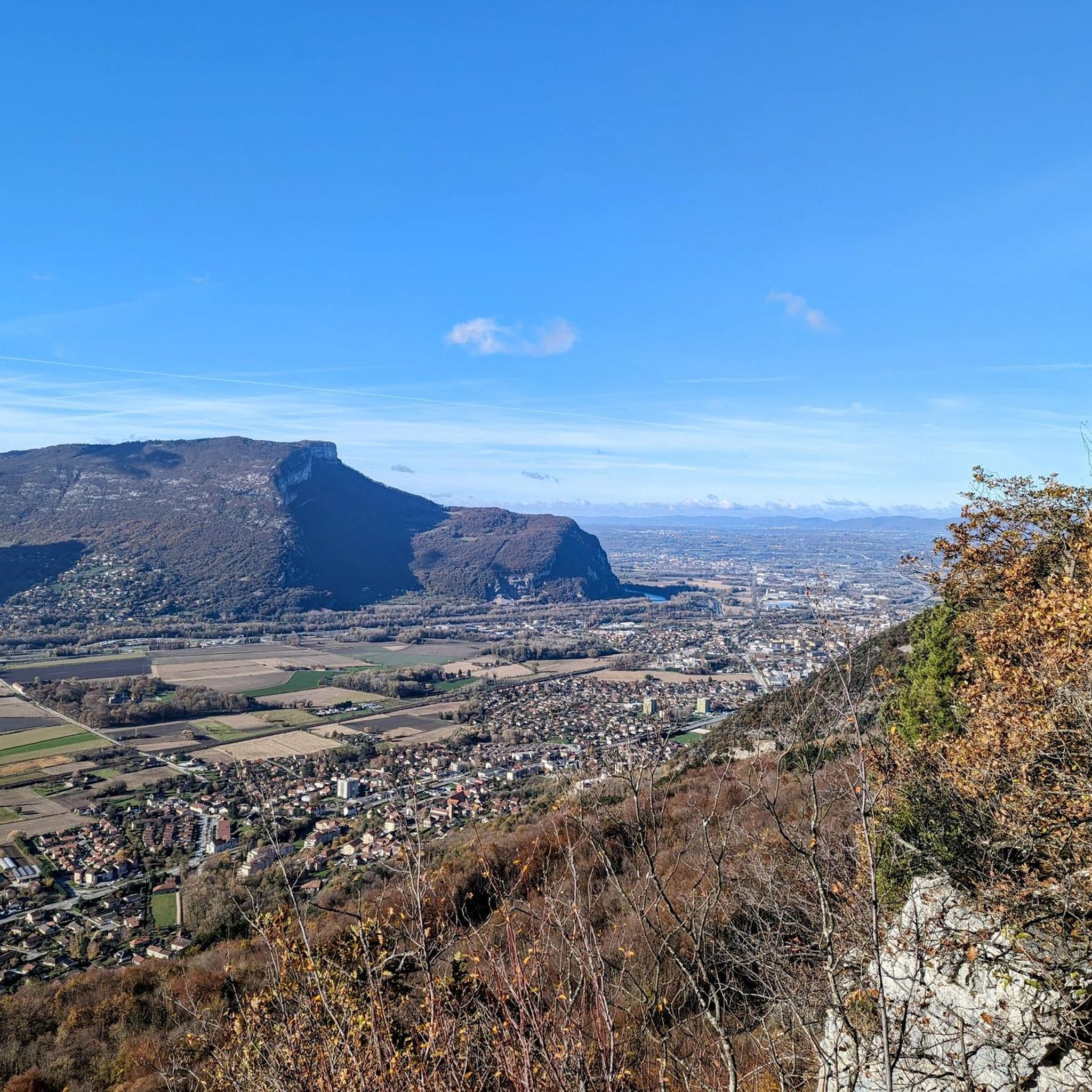


Tips from the Community

In the middle of the mountain dogs and herds in summer
0
0
Exceptional panoramic view of the Chartreuse, Voiron and Mont Blanc.
0
0

Very beautiful summit with a 360 degree panorama.
0
0

Listed as a historic monument, this building was built by monks in 1101. Accessible by car, it is an ideal starting point for many trails.
1
0
Located at the foot of the Grande Sure at 1,676 meters, this magnificent pass offers superb views of the Hurtières valley.
1
0
Located at the foot of the Grande Sure at 1,676 meters, this magnificent pass offers superb views of the Hurtières valley.
0
0
The Grande Sure is one of the highest peaks in the Chartreuse. Culminating at 1,920 meters above sea level, it dominates the west of the massif, offering superb panoramas.
1
0
Located above the Bannettes alpine pasture at 1,752 meters, the ol d'Hurtières offers multiple panoramas of the Chartreuse and Belledonne massifs, and the eastern slope of the Vercors.
0
0
Frequently Asked Questions
How many running routes can I find in the Mont-Saint-Martin area?
There are over 250 running routes available around Mont-Saint-Martin, catering to various fitness levels. This includes 13 easy routes, 118 moderate routes, and 127 difficult routes, ensuring options for everyone from beginners to experienced runners.
Are there any easy jogging paths suitable for beginners or a relaxed run?
Yes, for an easy and gentle introduction to running in a natural park setting, consider the Rocher de Bellevue - running in the Chartreuse Regional Natural Park. This path is 1.8 miles (2.9 km) long and offers a pleasant experience.
Where can I find a good place for a family-friendly run in Mont-Saint-Martin?
The Frédéric Brigidi Municipal Park is an excellent choice for family-friendly runs. This expansive 12-hectare park features well-maintained pathways, children's play areas, and multi-sports grounds, making it ideal for a relaxed jog with the family. It's considered the 'green lung' of Mont-Saint-Martin.
Are there any circular running routes in the region?
Yes, many routes in the area are designed as loops. For example, the Running loop from Isère is a 3.8 miles (6.1 km) trail leading through varied terrain, typically completed in about 38 minutes. Another option is the Running loop from Fontanil-Cornillon, which is 5.7 miles (5.7 km) long.
What kind of terrain can I expect on the running trails around Mont-Saint-Martin?
The Mont-Saint-Martin area, part of the 'Pays-Haut' region, offers diverse terrain. You'll find flatter paths within urban green spaces like Frédéric Brigidi Municipal Park, as well as more challenging inclines on the surrounding hills. The region's topography includes altitudes ranging from 250 meters in the valley to nearly 400 meters on the plateau, providing varied running experiences.
Are there any running routes that offer significant elevation gain for a challenge?
Absolutely. For a challenging run with significant elevation, consider The balconies of La Sure. This difficult 13.7 miles (22.1 km) trail features substantial elevation gain, offering expansive views of the surrounding landscape. Another demanding option is the Grotte de la Lutinière loop from Fontanil-Cornillon, which covers 7.9 miles (7.9 km) with considerable ascent.
What do other runners say about the trails in Mont-Saint-Martin?
The running routes in Mont-Saint-Martin are highly regarded by the komoot community, holding an average rating of 4.2 stars from over 480 reviews. More than 30,000 runners have used komoot to explore the varied terrain, often praising the diverse options from easy park runs to challenging hill trails.
Are there any interesting landmarks or viewpoints along the running routes?
While jogging, you can appreciate Mont-Saint-Martin's rich heritage. The Romanesque church, dating from the 12th century, dominates the Mont-Saint-Martin hill and offers historical significance. For scenic viewpoints, some routes, particularly those with higher elevation like The balconies of La Sure, provide expansive views of the surrounding landscape.
Can I access trails in Mont-Saint-Martin using public transport?
Mont-Saint-Martin is a commune with multiple entrances to its main green spaces like Frédéric Brigidi Municipal Park, some of which are accessible. While specific public transport links to trailheads vary, the town's central location suggests that many routes are within reasonable reach from local transport hubs. It's advisable to check local bus schedules for specific starting points.
Are there parking facilities available near the running trails?
Yes, Frédéric Brigidi Municipal Park, a central green space for jogging, has multiple entrances, some of which are equipped with parking facilities. For other regional trails, parking availability may vary, so it's recommended to check specific route details on komoot for designated parking areas.
Are there opportunities for cross-border running experiences from Mont-Saint-Martin?
Mont-Saint-Martin's unique location at the tripoint of France, Belgium, and Luxembourg indeed offers opportunities for cross-border trails. Some routes in the broader Meurthe-et-Moselle area extend into neighboring countries, providing longer and more varied experiences. These trails can offer a unique cultural dimension to your run.
What kind of natural features can I expect to see while running in Mont-Saint-Martin?
The region is characterized by the Chiers river and its tributaries, offering picturesque water features. You'll also encounter varied topography, from the flat paths of Frédéric Brigidi Municipal Park to wooded hills and plateaus. The 'Pays-Haut' region provides a mix of green spaces and natural landscapes.
Most popular routes around Mont-Saint-Martin
Most popular attractions around Mont-Saint-Martin

Get inspired with the komoot mobile app


Explore more
Browse the best Running Trails & Routes in other regions.
