The best walks and hikes around Osthausen
4.4
(1313)
5,085
hikers
237
hikes
Hiking around Osthausen, located in Thuringia, Germany, offers diverse natural landscapes and points of interest. The region features a mix of forests, valleys, and waterways, including the Ill river. Notable natural features include the Hohenfelden Reservoir and the Goethe Fountain, alongside architectural landmarks like the Ilm Valley Viaduct. The terrain elevation difficulty varies, providing options for different hiking preferences.
Best hiking trails around Osthausen
- The most popular hiking route is Weir on the Ill – Osthouse Castle loop from Osthouse…
Last updated: October 1, 2026
4.5
(11)
49
hikers
10.5km
02:40
20m
20m
Moderate hike. Good fitness required. Easily-accessible paths. Suitable for all skill levels.
3.7
(3)
12
hikers
5.27km
01:20
10m
10m
Easy hike. Great for any fitness level. Easily-accessible paths. Suitable for all skill levels.

8
hikers
Easy hike. Great for any fitness level. Easily-accessible paths. Suitable for all skill levels.
4.5
(2)
7
hikers
5.90km
01:30
10m
10m
Easy hike. Great for any fitness level. Easily-accessible paths. Suitable for all skill levels.
7
hikers
5.02km
01:16
10m
10m
Easy hike. Great for any fitness level. Easily-accessible paths. Suitable for all skill levels.
Get access to more routes and recommendations from other explorers.
Already have an account?
Our route recommendations are based on thousands of hikes, rides, and runs completed by other people on komoot.
Start today with a free account
Your next adventure awaits.
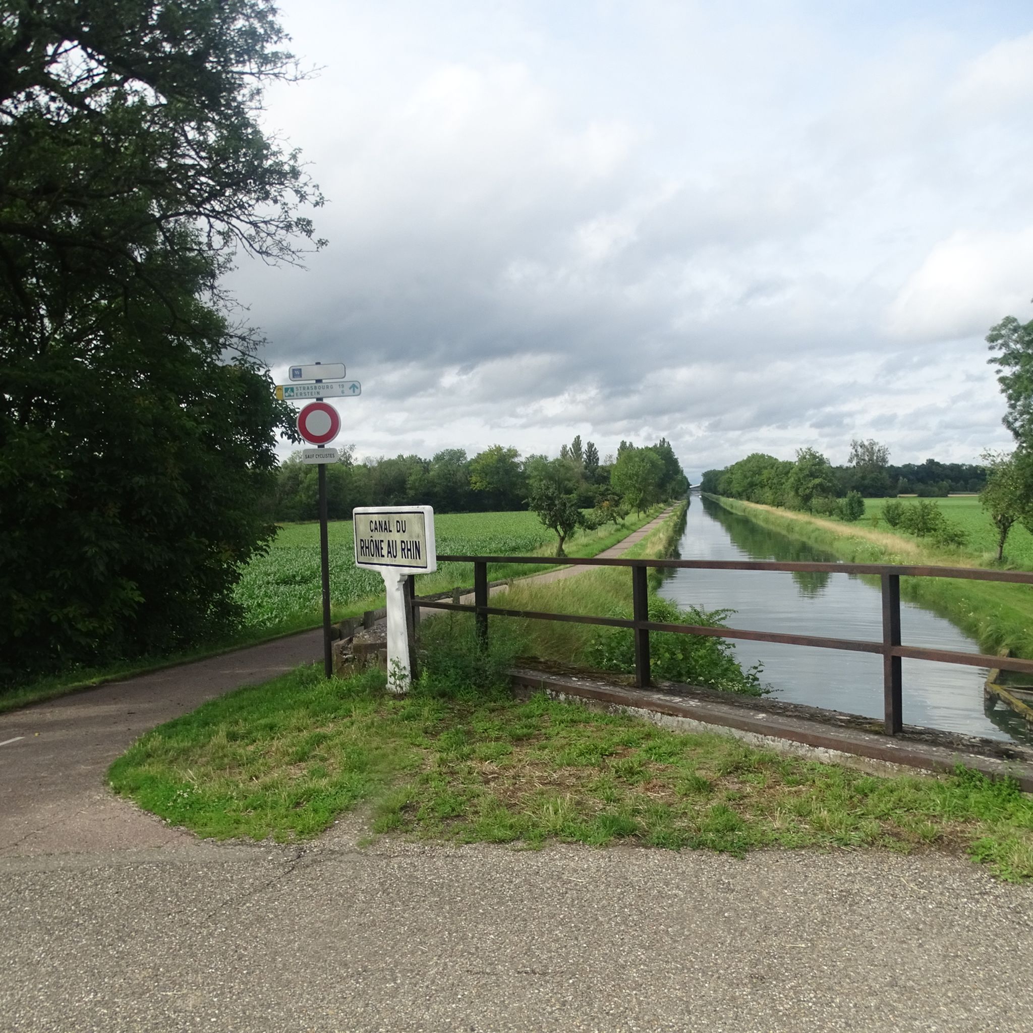
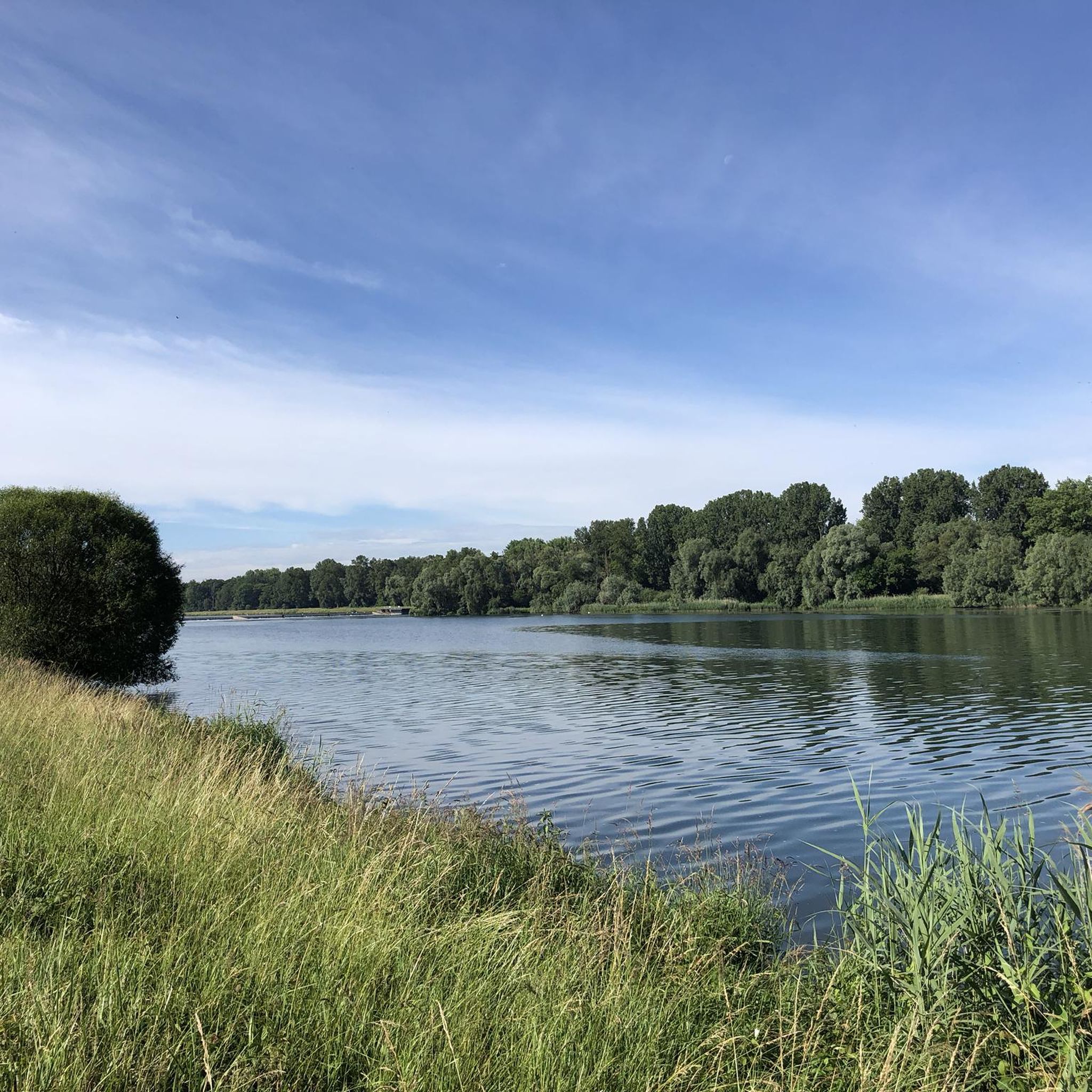
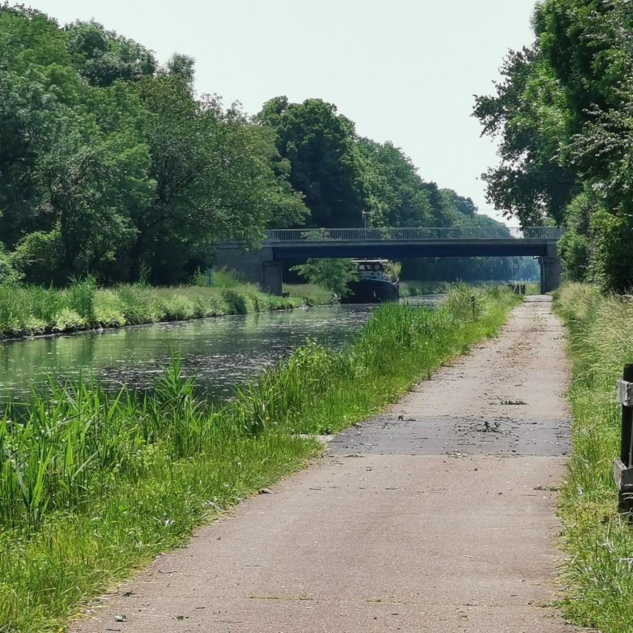
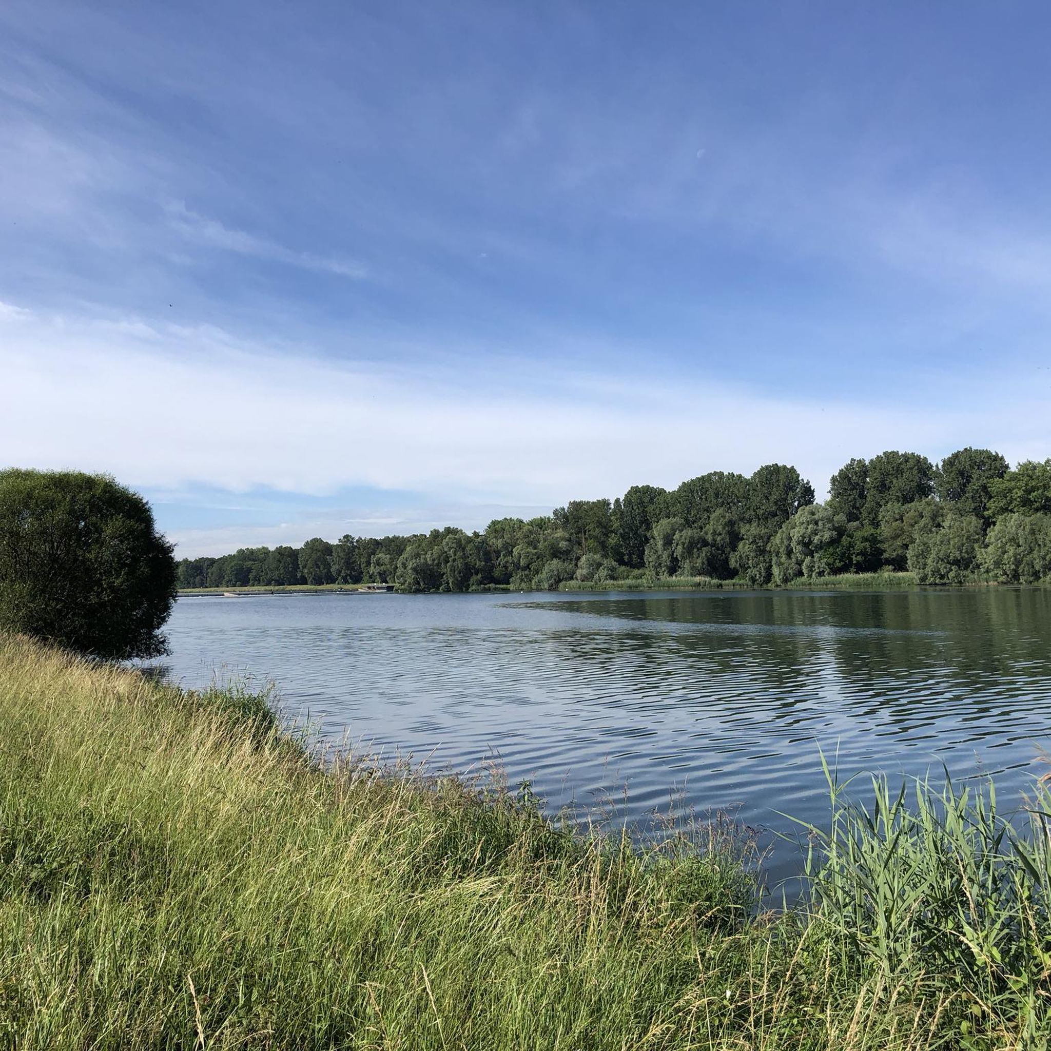
Tips from the Community

Former family seat of the von Zorn de Bulach family. A water castle whose moat is fed by a branch of the Ill river. I think it will be renovated in the near future. The outbuildings seem partly inhabited.
0
0


Magnificent Alsatian castle, not far from the German border. It has been classified as a historic monument since 1983.
0
0

One of the numerous microbreweries in Alsace
0
0

You look across the Ill at the beautiful Château de Werde.
0
0
Frequently Asked Questions
How many hiking trails are available around Osthausen?
There are over 200 hiking routes around Osthausen, offering a wide variety of options for different preferences. This includes 131 easy routes, 80 moderate routes, and a few more challenging trails.
What kind of terrain can I expect on hikes in Osthausen?
Hiking around Osthausen features diverse natural landscapes, including a mix of forests, valleys, and riverine paths along the Ill river. The terrain difficulty varies, with many routes offering gentle elevation changes, suitable for relaxed walks, while others provide slightly more challenging sections.
Are there any family-friendly hiking trails in Osthausen?
Yes, Osthausen offers numerous easy routes perfect for families. Many trails follow river paths with minimal elevation, making them suitable for children. For example, the Weir on the Ill – View of Château Werde loop from Matzenheim is an easy 3.3-mile path with gentle views.
Can I bring my dog on the hiking trails in Osthausen?
Most hiking trails in the Osthausen region are dog-friendly, allowing you to enjoy the natural beauty with your canine companion. It's always recommended to keep dogs on a leash, especially near wildlife or agricultural areas, and to carry waste bags.
What natural features or landmarks can I see along the hiking routes?
The region boasts a mix of natural beauty and historical structures. You can explore river landscapes, forests, and potentially encounter natural monuments like the Goethe Fountain (as mentioned in the broader Thuringia region). The Taubergießen Floodplain is a notable natural area nearby, and the impressive Ilm Valley Viaduct is an interesting architectural landmark in the wider area.
Are there any circular hiking routes available?
Yes, many of the hiking routes around Osthausen are designed as loops, allowing you to start and end at the same point. Examples include the popular Weir on the Ill – Osthouse Castle loop from Osthouse and the Bridge over the Ill – Bridge Over the Mühlwasser loop from Matzenheim.
What is the best time of year to go hiking in Osthausen?
Osthausen offers pleasant hiking experiences throughout much of the year. Spring and autumn provide comfortable temperatures and beautiful scenery with blooming flowers or vibrant foliage. Summer is also great, especially for shaded forest paths, while winter can offer serene, crisp walks, though some paths might be muddy or icy.
Where can I find parking for hiking trails in Osthausen?
Parking options are generally available near trailheads or in the villages surrounding Osthausen, such as Osthouse or Matzenheim. Specific parking details are often provided within individual komoot tour descriptions.
Are there any interesting castles or historical sites to see?
Yes, the region has a rich history. You can encounter local castles, such as Osthouse Castle, which is featured on the Weir on the Ill – Osthouse Castle loop from Osthouse. The Weir on the Ill – View of Château Werde loop from Matzenheim also offers views of Château Werde.
What do other hikers enjoy most about the trails in Osthausen?
The hiking routes in Osthausen are highly rated by the komoot community, with an average score of 4.5 stars from over 1000 reviews. Hikers often praise the varied terrain, the peaceful river paths, and the charming local landmarks like castles, making for a diverse and enjoyable outdoor experience.
Are there any viewpoints or scenic spots along the trails?
While specific viewpoints are not detailed for every route, the diverse landscapes of forests, valleys, and river paths naturally offer many scenic spots. The broader region also features limestone cliffs near Kranichfeld, providing picturesque views, and the Taubergießen Birdwatching Tower is a nearby highlight for observing nature.
Can I reach the hiking trails using public transport?
Information on specific public transport connections to every trailhead is best checked locally. However, many villages in the region, including those near popular starting points like Matzenheim, are typically accessible by local bus services, which can connect you to the wider public transport network.
Most popular routes around Osthausen
Most popular attractions around Osthausen

Get inspired with the komoot mobile app


Explore more
Browse the best Hikes in other regions.
