The best walks and hikes around Mittelweier
4.5
(6137)
27,211
hikers
16
hikes
Hiking around Mittelweier offers access to diverse landscapes, including extensive vineyard routes and rolling hills. The region is characterized by its proximity to dense forests, such as the Black Forest and Palatinate Forest, and features scenic river valleys. These varied terrains provide a range of hiking experiences.
Best hiking trails around Mittelweier
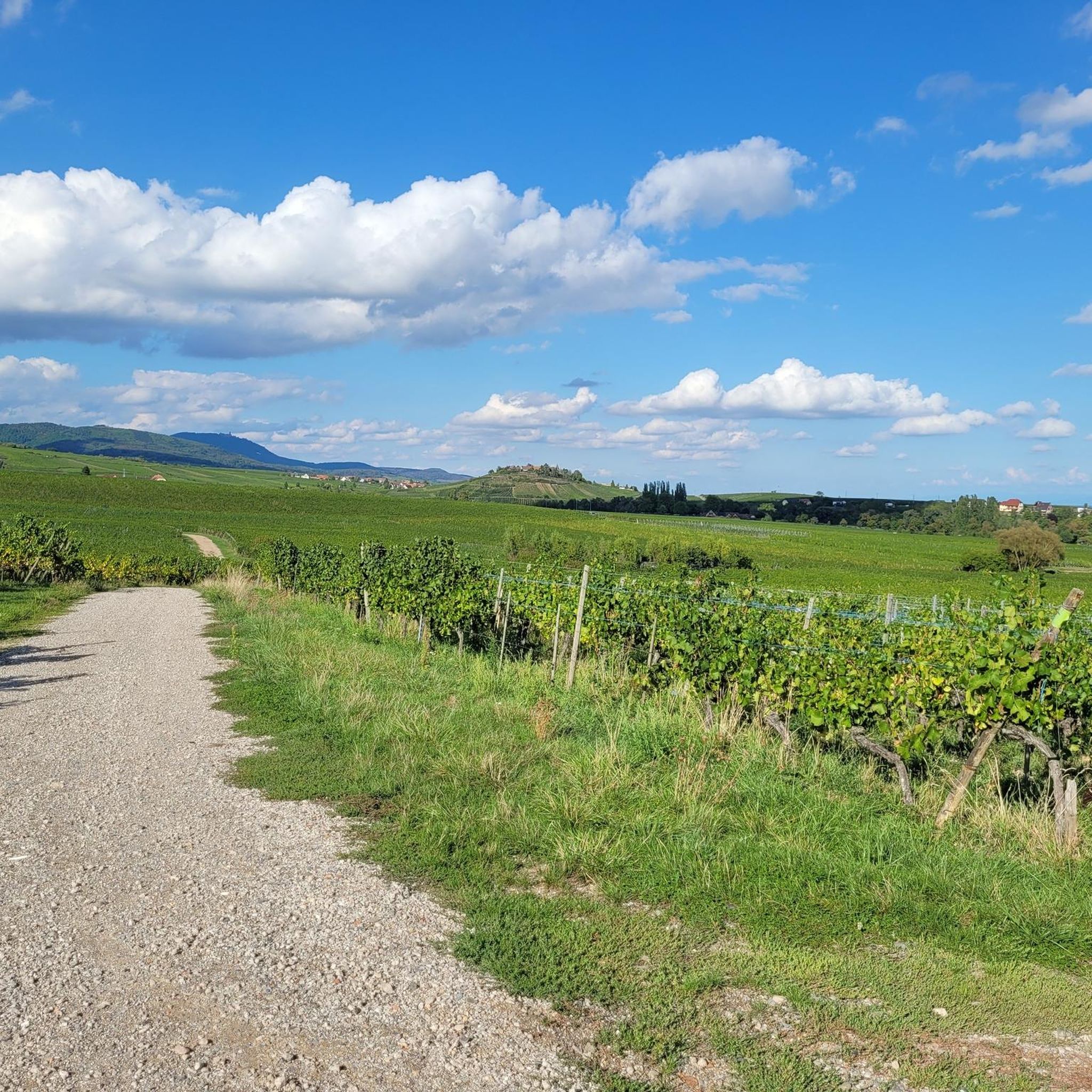
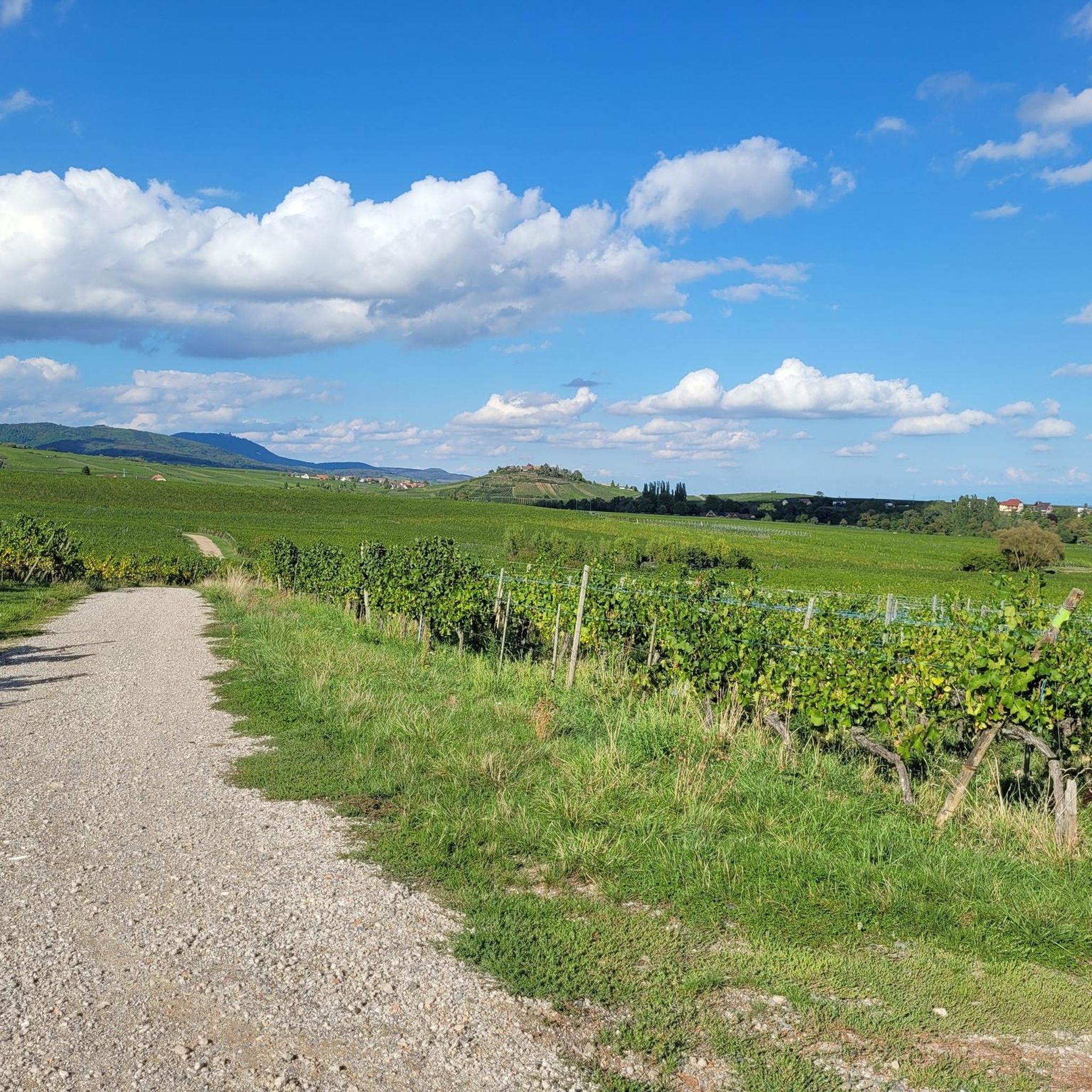
- The most popular hiking route is Hiking loop from Mittelwihr, a 3.6 miles (5.7 km) trail that takes 1 hour 37 minutes to complete. This easy route winds through local vineyards and offers views of the surrounding countryside.
- Another top favourite among local hikers is Superb homes – Dolder Gate (1291) loop from Mittelwihr, a moderate 4.9 miles (7.9 km) path. This route combines natural scenery with historical elements, including the Dolder Gate.
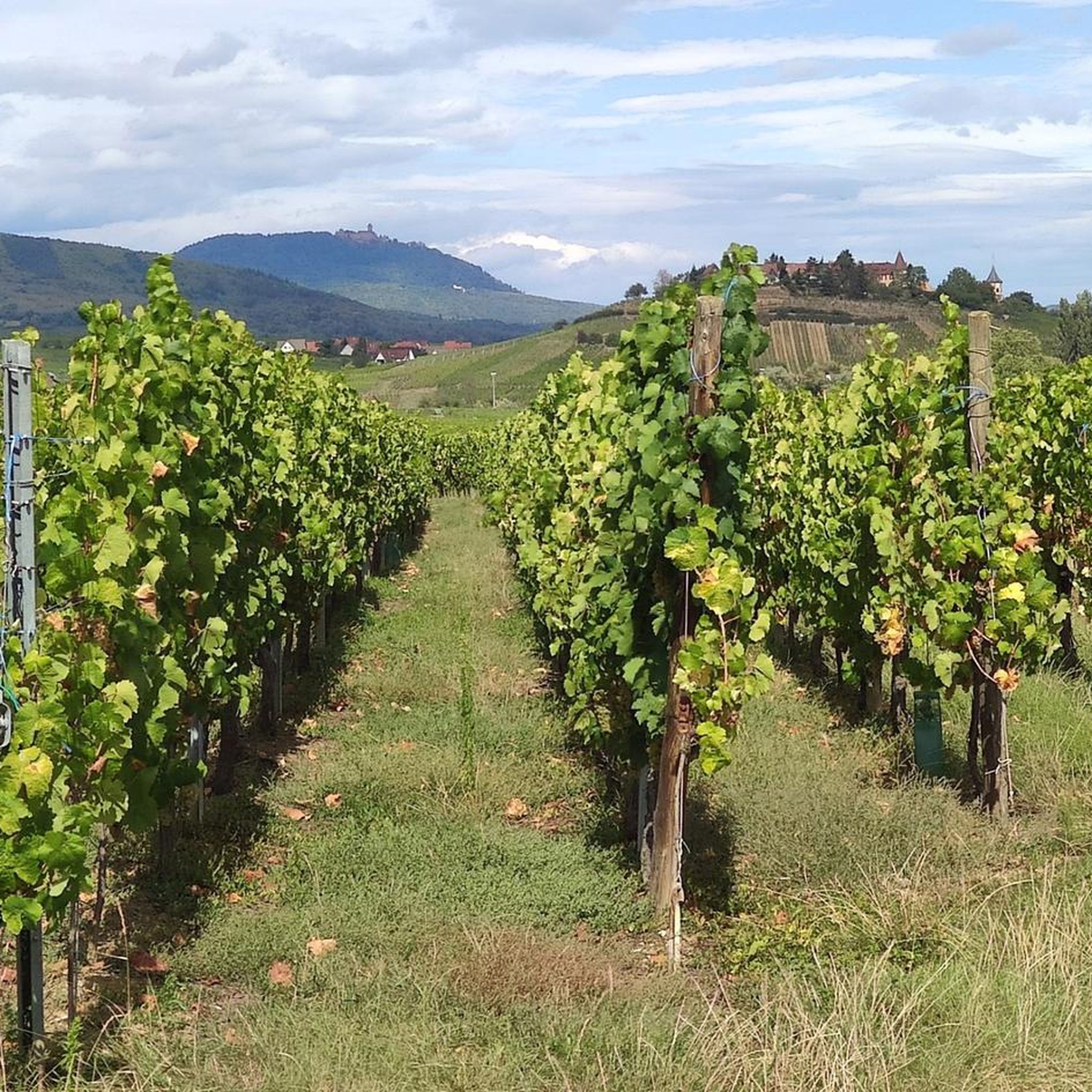
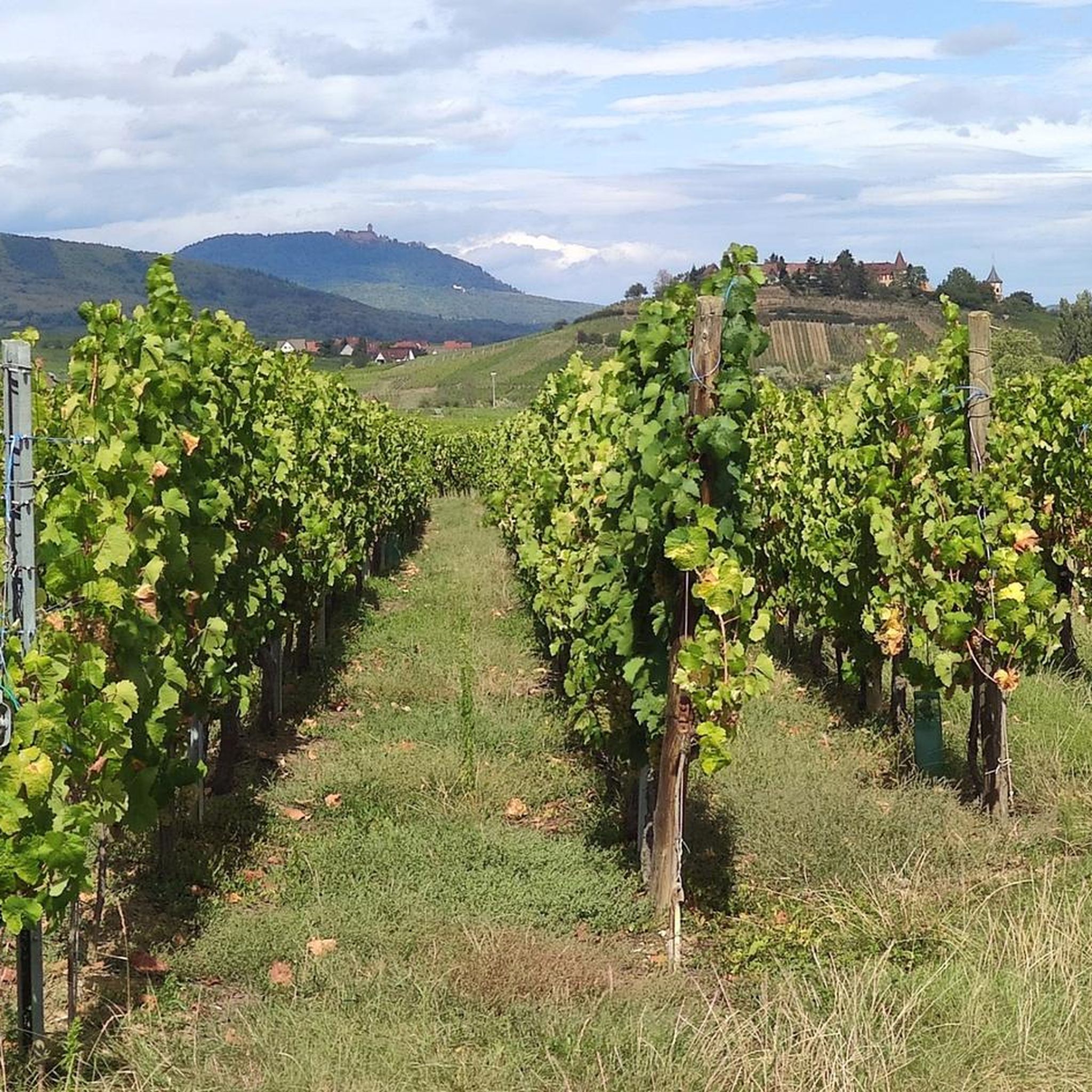
- Local hikers also love the Beblenheim – View of Zellenberg loop from Mittelwihr, a 4.3 miles (6.9 km) trail leading through vineyard landscapes, often completed in about 1 hour 53 minutes.
- Hiking around Mittelweier is defined by vineyard landscapes, rolling hills, and proximity to extensive forests. The network offers options for different ability levels, from easy strolls to moderate climbs.
- The routes in Mittelweier are highly rated by the komoot community with an average score of 4.5 stars from more than 6,400 reviews. More than 30,000 hikers have used komoot to explore Mittelweier's varied terrain.
Last updated: September 28, 2026
4.7
(3)
37
hikers
5.72km
01:37
130m
130m
Easy hike. Great for any fitness level. Easily-accessible paths. Suitable for all skill levels.
3.5
(4)
15
hikers
7.95km
02:10
120m
120m
Moderate hike. Good fitness required. Easily-accessible paths. Suitable for all skill levels.

5.0
(2)
19
hikers
6.87km
01:54
120m
120m
Easy hike. Great for any fitness level. Easily-accessible paths. Suitable for all skill levels.
4.5
(2)
13
hikers
6.52km
01:49
130m
130m
Easy hike. Great for any fitness level. Easily-accessible paths. Suitable for all skill levels.
4.5
(2)
6
hikers
6.23km
01:43
100m
100m
Easy hike. Great for any fitness level. Easily-accessible paths. Suitable for all skill levels.
Get access to more routes and recommendations from other explorers.
Already have an account?
Our route recommendations are based on thousands of hikes, rides, and runs completed by other people on komoot.
Start today with a free account
Your next adventure awaits.

Tips from the Community

The architecture of Riquewihr, as well as that of nearby Colmar, was a source of inspiration for the backgrounds of the 1991 Disney film "Beauty and the Beast" and for Hayao Miyazaki for the creation of the settings for the film "Howl's Moving Castle".
0
0

A walk through Zellenberg is quite nice
0
0

You sit very cozy and a bit rustic in this Winstubb. The food is exceptionally delicious and not overpriced. The service super friendly. We will definitely come back!
0
1

A few steps from the Dolder, towards the western exit, stands an outpost or barbican, the so-called "Upper Gate," dating from around 1300. The massive double-leaf gate and the wooden portcullis from 1536, undoubtedly the oldest in Europe, are particularly striking in the passageway. Given the widespread use of firearms, the inhabitants of Riquewihr felt towards the end of the 15th century that their original fortifications were no longer effective enough. The Duke of Württemberg, Lord of Riquewihr, who wanted to protect the town's inhabitants and the produce of their vineyards, had a second rampart built around 1500, constructed of Vosges sandstone.
9
1
Rue Latérale is a nice, quiet alternative away from the hustle and bustle of Rue du Général de Gaulle.
9
0
The upper city gate, the Dolder (1291), was built at the same time as the first fortifications at the end of the 13th century and served as a defensive tower, watchtower, and bell tower. In Alsatian, "Dolder" means "highest point, peak." At 25 meters high, this tower threatened the enemy with the stark and warlike appearance of its exterior, while the inner facade, facing the city, had delighted the inhabitants since the 16th century with its attractive arrangement of wooden beams and four corbelled vaults. Its first level formed one of the starting points of the patrol path that ran along the top of the ramparts around the city.
10
0
Small, narrow street serving as a picturesque connection to or from the city wall.
9
0
The town hall was built between 1808 and 1810 during the tenure of Mayor Samuel Karcher on the site of the old low gate with a tower. According to the text accompanying the laying of the foundation stone, the building was constructed according to the plans of the Colmar contractor Xavier Molly, which were reviewed and corrected by Louis Gouget, a retired engineer from Kaysersberg. He was entrusted with the construction supervision. According to a document from the Haut-Rhin Town Council, the plans were drawn up by Louis Gouget on behalf of the prefect. The construction work was accepted in June 1810. A modern extension was added to the north side, featuring a fire escape.
8
0
Frequently Asked Questions
How many hiking trails are available around Mittelweier?
There are nearly 20 hiking routes around Mittelweier, offering a variety of experiences. These trails traverse diverse landscapes, including extensive vineyard routes, rolling hills, and areas close to dense forests like the Black Forest and Palatinate Forest.
What types of landscapes can I expect to see while hiking near Mittelweier?
Hiking around Mittelweier offers a rich tapestry of landscapes. You'll find trails winding through sun-drenched vineyards, expansive forests and woodlands, and scenic rolling hills and valleys. The region is also characterized by rivers like the Rhine and Zschopau, providing picturesque riverside paths.
Are there easy hiking options suitable for beginners or casual walkers?
Yes, Mittelweier offers plenty of easy hiking options. Out of nearly 20 routes, 12 are classified as easy. An excellent choice is the Hiking loop from Mittelwihr, a 3.6-mile (5.7 km) trail that winds through local vineyards and offers pleasant views.
Are there any circular walks around Mittelweier?
Many of the trails around Mittelweier are designed as circular routes, allowing you to start and end in the same location. For example, the Beblenheim – View of Zellenberg loop from Mittelwihr is a 4.3-mile (6.9 km) trail that takes you through beautiful vineyard landscapes.
What historical sites or attractions can I visit along the hiking trails?
The region around Mittelweier is rich in history. Hikers can explore impressive medieval sites such as Saint-Ulrich Castle, Girsberg Castle, and Haut-Ribeaupierre Castle. The Superb homes – Dolder Gate (1291) loop from Mittelwihr specifically combines natural scenery with historical elements, including the Dolder Gate.
Are there any charming villages to explore near the hiking routes?
Absolutely. The area features picturesque villages that are often starting points or highlights of hikes. Kaysersberg and Riquewihr are known for their well-preserved architecture, narrow streets, and half-timbered houses set amidst vineyards. The Riquewihr – Superb homes loop from Mittelwihr is a great way to experience this.
What is the best season for hiking around Mittelweier?
The region's vineyard landscapes and forests make it appealing across multiple seasons. Spring offers blooming almond trees and fresh greenery, while autumn provides stunning colors in the vineyards and woodlands. Summer is ideal for longer days, and some trails may be suitable for winter hiking, especially those at lower elevations.
Are there any viewpoints or scenic spots on the trails?
Many trails offer panoramic views, particularly those winding through the vineyards and up into the rolling hills. The Beblenheim – View of Zellenberg loop from Mittelwihr, for instance, is known for its scenic vistas over the vineyard landscapes and towards Zellenberg.
What do other hikers enjoy most about hiking in Mittelweier?
The komoot community highly rates the hiking experience around Mittelweier, with an average score of 4.5 stars from over 6,400 reviews. Hikers frequently praise the well-maintained trails, the stunning vineyard scenery, and the opportunity to combine nature walks with visits to charming villages and historical sites.
Are there any places to find refreshments or rest stops along the trails?
Given the region's focus on wine, many trails pass through or near villages with opportunities for wine tasting and local cuisine. You may also find small huts or shelters, such as the Gazebo or Vineyard Hut in Parc Naturel Régional des Ballons des Vosges, which can serve as rest stops.
Can I find information on wine hiking in the broader region?
Yes, the region around Mittelweier is part of a prominent wine area. For more general information on wine hiking in the broader region, you can explore resources like lower-austria.info or austria.info, which provide context on similar experiences in wine regions.
Most popular routes around Mittelweier
Most popular attractions around Mittelweier

Get inspired with the komoot mobile app


Explore more
Browse the best Hikes in other regions.
