The best walks and hikes around Isles-Les-Meldeuses
4.5
(144)
840
hikers
76
hikes
Hiking around Isles-Les-Meldeuses offers diverse landscapes shaped by the confluence of the Marne and Thérouanne rivers, alongside the Ourcq Canal. The region features wooded hills and extensive green areas, characteristic of the Seine-et-Marne department. These natural elements provide a varied terrain for outdoor activities, ranging from waterside paths to forest trails.
Best hiking trails around Isles-Les-Meldeuses
- The most popular hiking route is Tirant d'Air Canal Sign loop from Congis-sur-Thérouanne, a 8.6 miles (13.8 km) trail that takes 3 hours…
Last updated: July 5, 2026
5.0
(5)
25
hikers
13.8km
03:34
80m
80m
Moderate hike. Good fitness required. Easily-accessible paths. Suitable for all skill levels.
5.0
(1)
13
hikers
4.74km
01:16
60m
60m
Easy hike. Great for any fitness level. Easily-accessible paths. Suitable for all skill levels.

Sign up for free
4.5
(6)
12
hikers
8.91km
02:22
90m
90m
Moderate hike. Good fitness required. Easily-accessible paths. Suitable for all skill levels.
3.0
(1)
9
hikers
Hard hike. Very good fitness required. Easily-accessible paths. Suitable for all skill levels.
5.0
(1)
15
hikers
Moderate hike. Good fitness required. Easily-accessible paths. Suitable for all skill levels.
Get access to more routes and recommendations from other explorers.
Sign up for free
Already have an account?
Our route recommendations are based on thousands of hikes, rides, and runs completed by other people on komoot.
Start today with a free account
Your next adventure awaits.
Login or Signup
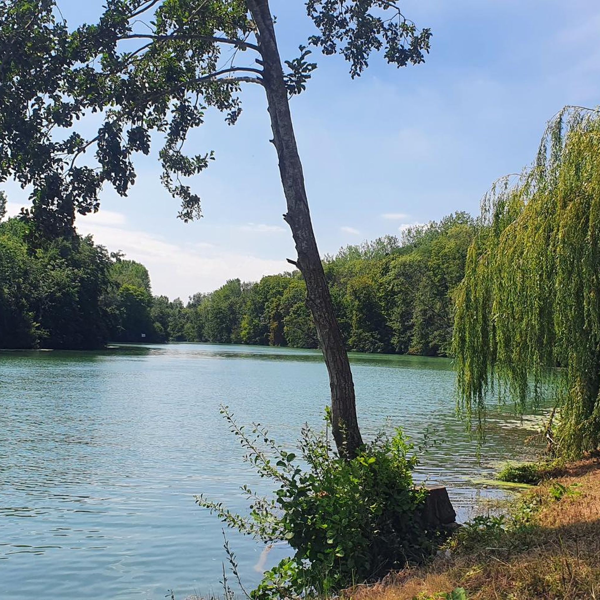
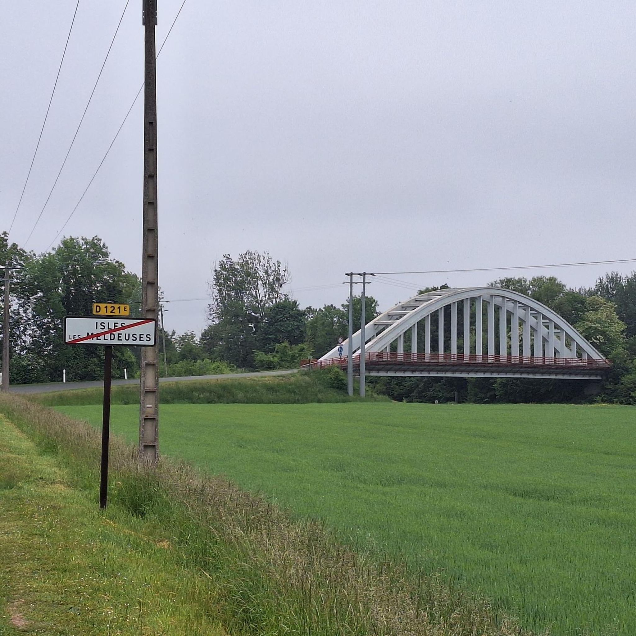
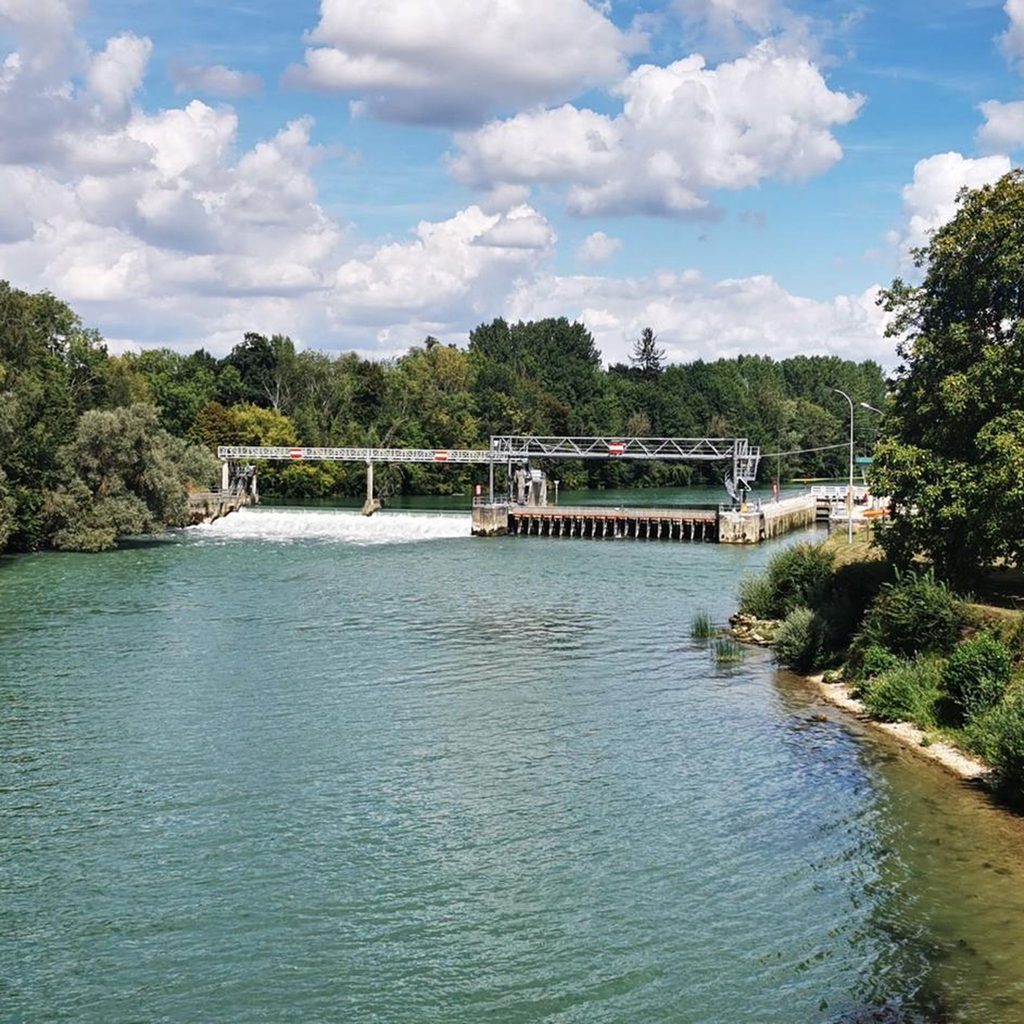
Tips from the Community

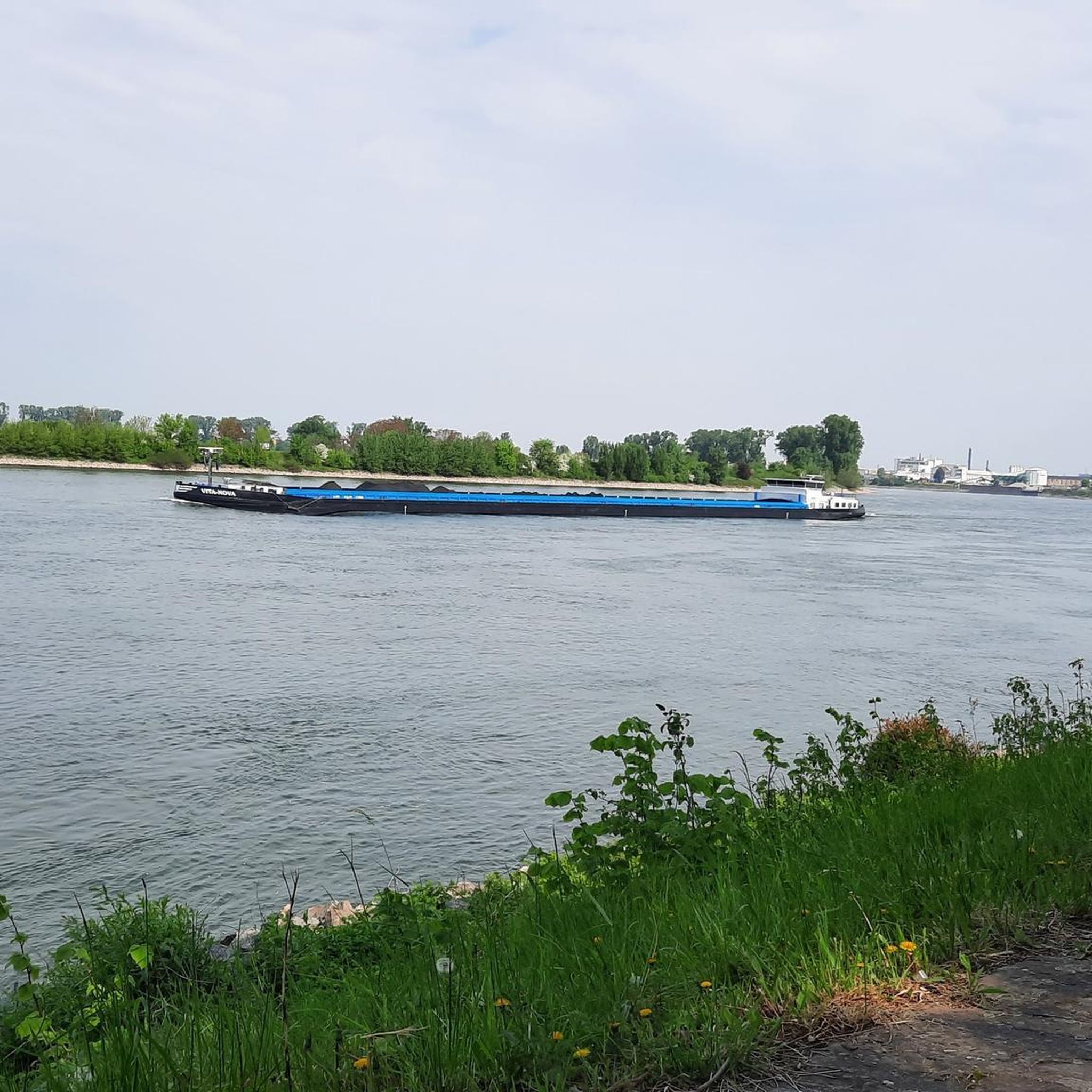
Bridge overlooking the Marne near the Grand-Voyeux nature reserve.
0
0

The forest of Montceaux offers an ideal setting for practicing many sports, including running. This forest massif near the Marne covers 685 hectares and is full of marked trails. The site is very well preserved and therefore it lends itself particularly well for a moment of disconnection from everyday life!
0
0
Frequently Asked Questions
What kind of terrain can I expect when hiking in Isles-Les-Meldeuses?
The hiking terrain in Isles-Les-Meldeuses is diverse, characterized by the confluence of the Marne and Thérouanne rivers, and the Ourcq Canal. You'll find tranquil waterside paths, lush wooded hills, and extensive green areas. The broader Seine-et-Marne department is known as the 'green lung' of Ile-de-France, offering picturesque viewpoints and varied landscapes.
Are there hiking trails suitable for all difficulty levels?
Yes, Isles-Les-Meldeuses offers a range of trails for various abilities. There are 22 easy routes, 49 moderate routes, and 6 difficult routes, ensuring options for leisurely strolls or more challenging treks.
What natural features or landmarks can I see on hikes in Isles-Les-Meldeuses?
Many routes follow the scenic waterways, such as the Marne and the Ourcq Canal. You might encounter highlights like the Ourcq Towpath or the river The Marne. The region is also rich in wooded areas and charming villages.
Are there family-friendly hiking options in Isles-Les-Meldeuses?
Yes, there are several easy routes perfect for families. For example, the Jj loop from Aire de la marche is an easy 2.9-mile (4.7 km) path that offers a pleasant walk through local landscapes, suitable for all ages.
Can I bring my dog on the hiking trails in Isles-Les-Meldeuses?
While specific regulations for each trail vary, many natural areas and paths in France are generally dog-friendly, especially if dogs are kept on a leash. It's always recommended to check local signage or specific route descriptions for any restrictions before heading out with your pet.
What is the best time of year to go hiking in Isles-Les-Meldeuses?
The Seine-et-Marne region, including Isles-Les-Meldeuses, is beautiful throughout the warmer months, from spring to autumn. Spring offers blooming flora, while autumn provides vibrant foliage. Summer is also pleasant, especially along the shaded river and canal paths.
Are there easy hikes suitable for beginners?
Absolutely. There are 22 easy routes available. A good option for beginners is the Jj loop from Aire de la marche, which is a short and accessible 2.9-mile (4.7 km) trail.
Can I find circular hiking routes in the area?
Yes, many of the trails in Isles-Les-Meldeuses are designed as loops, offering convenient circular walks. An example is the Montceaux Forest loop from Aire de la marche, a 5.5-mile (8.9 km) trail through wooded terrain.
What do other hikers enjoy the most about hiking in Isles-Les-Meldeuses?
The area is highly rated by the komoot community, with an average score of 4.5 stars from over 120 reviews. Hikers often praise the varied terrain, from peaceful canal paths to charming forest trails, and the overall natural beauty of the region.
Is there public transport access to hiking trails in Isles-Les-Meldeuses?
Isles-Les-Meldeuses is part of the Île-de-France region, which has a comprehensive public transport network. While specific trailheads might require a short walk from a station, it's often possible to reach the general area by train or bus. We recommend checking local transport schedules for specific starting points.
Where can I find parking for hiking trails near Isles-Les-Meldeuses?
Many trailheads, especially those starting from villages or popular recreational areas, often have designated parking. For example, routes like the Jj loop and Montceaux Forest loop start from 'Aire de la marche', which typically implies parking availability. It's advisable to check the starting point details for each specific route.
Are there any longer, more challenging hikes available?
For those seeking a greater challenge, there are 6 difficult routes in the area. One such option is the Tirant d'Air Canal Sign – Montceaux Forest loop from Isles - Armentières - Congis, which spans over 13 miles (22.2 km) and features more significant elevation changes.
Most popular routes around Isles-Les-Meldeuses
Most popular attractions around Isles-Les-Meldeuses

Get inspired with the komoot mobile app


Explore more
Browse the best Hikes in other regions.
