The best walks and hikes around Saint-Léonard
4.4
(1554)
6,303
hikers
285
hikes
Hiking around Saint-Léonard in the Vosges region of France offers a landscape characterized by dense forests, rolling hills, and scenic viewpoints. The terrain features varied elevations, providing options from gentle forest paths to more challenging ascents. This area is known for its extensive woodland trails and natural features, making it suitable for diverse hiking experiences.
Best hiking trails around Saint-Léonard
- The most popular hiking route is Roche d'Anozel – View of the Forest loop from Saulcy-sur-Meurthe, a 9.5 miles…
Last updated: October 2, 2026
4.8
(29)
140
hikers
15.3km
05:09
520m
520m
Hard hike. Very good fitness required. Mostly accessible paths. Sure-footedness required.
4.2
(6)
16
hikers
9.36km
02:34
150m
150m
Moderate hike. Good fitness required. Easily-accessible paths. Suitable for all skill levels.

3.9
(11)
48
hikers
15.4km
04:15
230m
230m
Moderate hike. Good fitness required. Mostly accessible paths. Sure-footedness required.
4.0
(3)
24
hikers
6.59km
02:13
260m
260m
Moderate hike. Good fitness required. Mostly accessible paths. Sure-footedness required.
5.0
(3)
18
hikers
14.2km
04:02
320m
320m
Moderate hike. Good fitness required. Easily-accessible paths. Suitable for all skill levels.
Get access to more routes and recommendations from other explorers.
Already have an account?
Our route recommendations are based on thousands of hikes, rides, and runs completed by other people on komoot.
Start today with a free account
Your next adventure awaits.
Tips from the Community

The Roche d’Anozel is located in the Kemberg massif near Saulcy-sur-Meurthe, not far from Saint-Dié-des-Vosges. The striking Vosges sandstone rock is about 740 m high and approximately 15 m high and 20 m wide. An enigmatic inscription on the rock is dated to the year 1402. Particularly interesting is the view over the Meurthe valley and the surrounding Vosges mountains. The Roche is part of a network of well-marked hiking trails.
0
0

Nice, but not really any panorama...
0
0

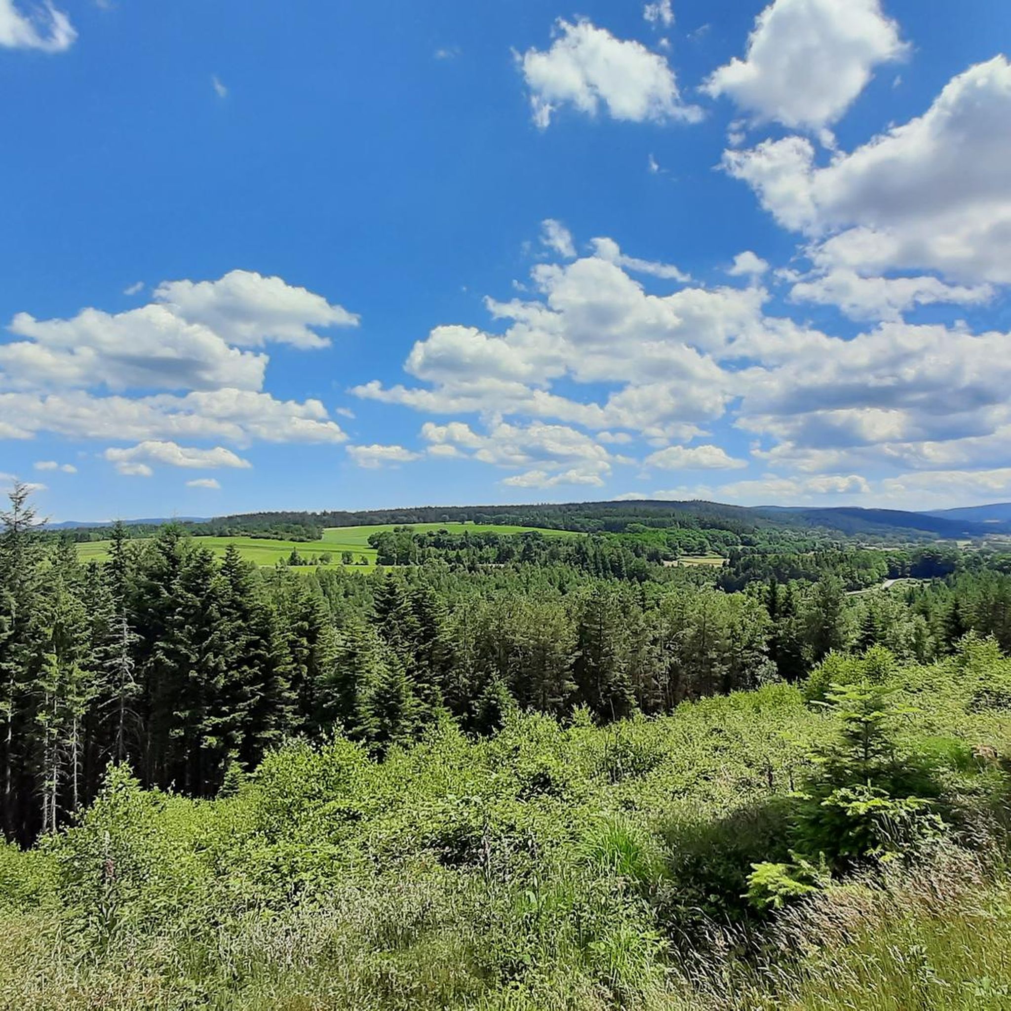
The Kuhblick is one of the most beautiful views I know!
0
0

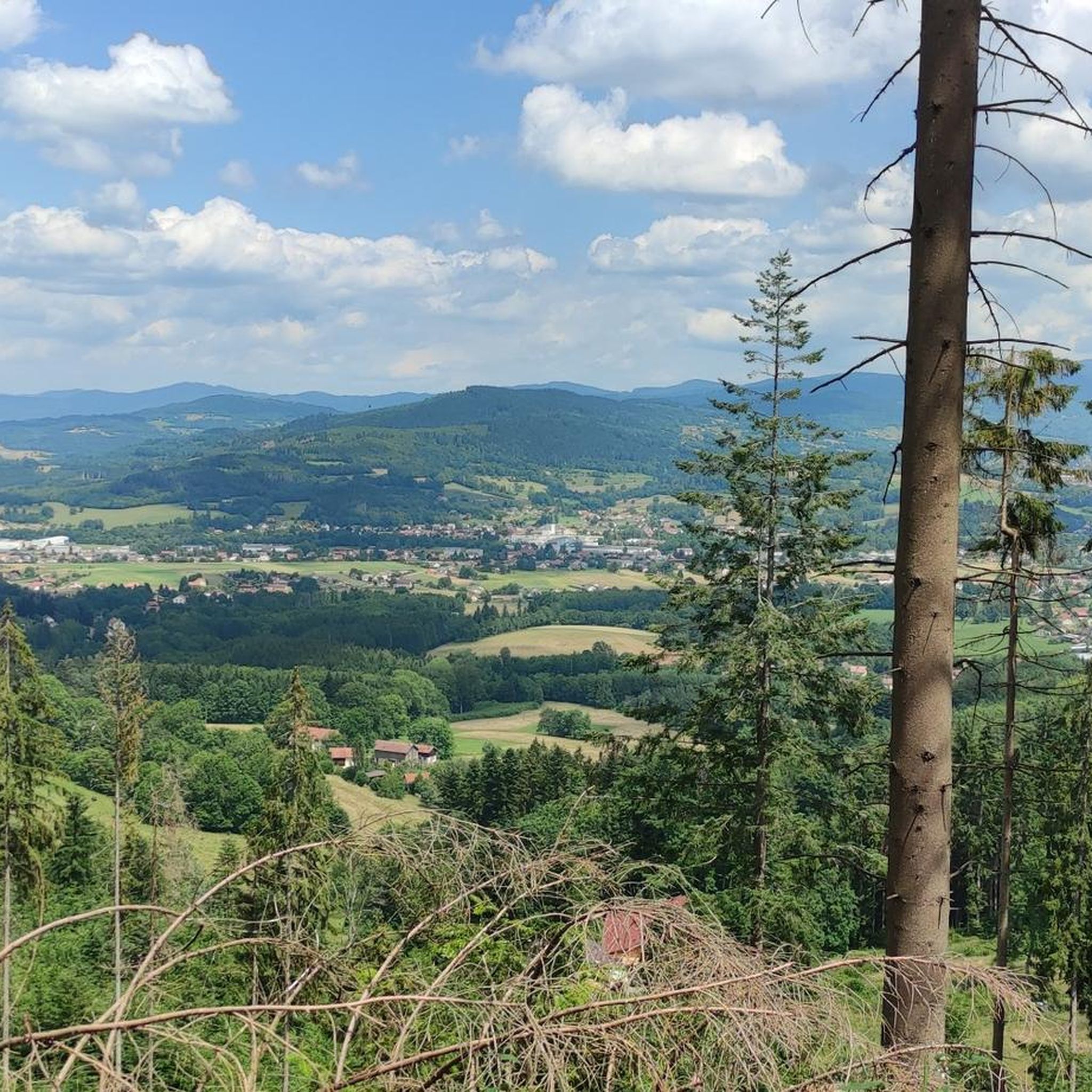
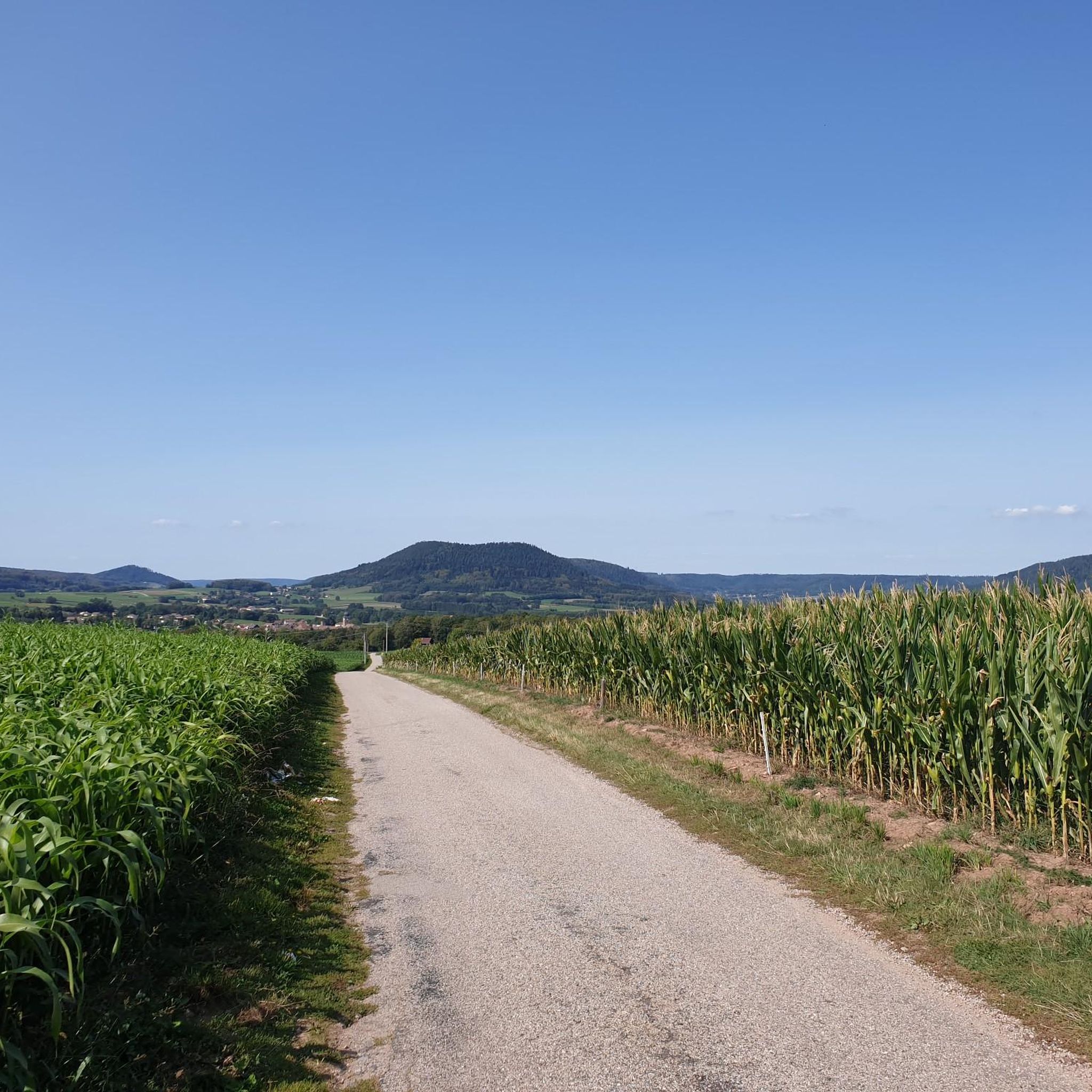
The foothills of the Vosges offer perfect terrain for mountain biking. In addition to the hilly terrain dotted with paths and trails, there are beautiful views, such as here over the Meurthe Valley.
0
0


Great view of Saint-Dié-des-Vosges
1
0
No idea where this highlight got its name from 🤷.
0
0
Frequently Asked Questions
How many hiking trails are available around Saint-Léonard?
There are over 280 hiking routes around Saint-Léonard in the Vosges region of France. These trails offer a variety of experiences, from easy strolls to more challenging ascents through dense forests and rolling hills.
What types of terrain can I expect on hikes in Saint-Léonard?
The terrain around Saint-Léonard is characterized by dense forests, varied hill climbs, and scenic viewpoints. You'll find a mix of forest paths and trails with significant elevation changes, suitable for different fitness levels.
Are there any easy hiking trails suitable for beginners or families?
Yes, Saint-Léonard offers several easy trails. For instance, the View of the Forest – Cense de Grandrupt (source) loop from Taintrux is an easy 2.4-mile (3.9 km) path that provides a gentle walk through forest scenery with minimal elevation changes.
Are there any circular hiking routes in Saint-Léonard?
Many trails in the Saint-Léonard area are designed as loops. Examples include the Roche d'Anozel – View of the Forest loop from Saulcy-sur-Meurthe, a 9.5-mile route, and the Roche du Corbeau – Guillotine stone loop from Corcieux-Vanémont, which is 7.8 miles long.
What are some notable landmarks or viewpoints I can discover while hiking?
While hiking around Saint-Léonard, you can explore several interesting points. Consider visiting the Col du Bonhomme or the Louchpach Pass for scenic views. The Route Joseph Valentin also offers a notable trail experience.
What do other hikers say about the trails in Saint-Léonard?
The routes in Saint-Léonard are highly rated by the komoot community, with an average score of 4.4 stars from over 1100 reviews. Hikers often praise the varied terrain, the dense forest trails, and the panoramic viewpoints.
Are there any moderate difficulty hikes for those looking for a bit more challenge?
Yes, there are many moderate options. The Roche du Corbeau – Guillotine stone loop from Corcieux-Vanémont is a popular moderate trail, covering 7.8 miles through forested hills. Another is the Downhill – View of the Forest loop from Saulcy-sur-Meurthe, a 15.4-mile route with varied elevation.
What is the best time of year to go hiking in Saint-Léonard?
The Vosges region, where Saint-Léonard is located, offers beautiful hiking conditions through spring, summer, and autumn. Autumn is particularly scenic as the forest foliage transforms into vibrant colors. While winter hiking is possible, some trails may be affected by snow and ice, requiring appropriate gear.
Are there any long-distance hiking options or multi-day routes nearby?
While the provided routes are primarily day hikes, the extensive network of trails in the Vosges region allows for connecting various paths to create longer, multi-day adventures. You can combine several loops and linear trails to extend your hiking experience.
What kind of natural features can I expect to see on the trails?
The hikes around Saint-Léonard are characterized by extensive woodland trails, offering deep forest immersion. You'll encounter rolling hills, varied elevations, and numerous viewpoints that provide panoramic vistas of the surrounding natural landscape.
How long do hikes typically take in Saint-Léonard?
Hike durations vary significantly depending on the trail's length and difficulty. For example, an easy path like the View of the Forest – Cense de Grandrupt (source) loop from Taintrux takes about 1 hour 7 minutes, while a more challenging route such as the Roche d'Anozel – View of the Forest loop from Saulcy-sur-Meurthe can take around 5 hours 10 minutes.
Are there any particularly challenging hikes for experienced hikers?
For experienced hikers seeking a challenge, the Roche d'Anozel – View of the Forest loop from Saulcy-sur-Meurthe is classified as difficult. This 9.5-mile (15.3 km) trail features significant elevation gain and requires good physical condition.
Most popular routes around Saint-Léonard
Most popular attractions around Saint-Léonard

Get inspired with the komoot mobile app


Explore more
Browse the best Hikes in other regions.
