The best road cycling routes around Bertrimoutier
4.1
(213)
2,783
riders
122
rides
Road cycling routes around Bertrimoutier traverse a landscape characterized by river valleys, rolling hills, and forested areas. The region offers a mix of terrain, from gentle valley paths to more challenging ascents towards passes and elevated viewpoints. Road cyclists can expect varied gradients and scenic rural environments.
Best road cycling routes around Bertrimoutier
- The most popular road cycling route is Haut de Ribeauvillé Pass – White Lake loop from Raves, a 67.9 miles (109.3 km) trail that takes 6…
Last updated: May 24, 2026
5.0
(2)
41
riders
53.8km
02:30
650m
650m
Moderate road ride. Good fitness required. Mostly well-paved surfaces and easy to ride.
42
riders
86.2km
04:41
1,680m
1,680m
Hard road ride. Very good fitness required. Mostly well-paved surfaces and easy to ride.

Sign up for free
5.0
(5)
109
riders
51.9km
02:30
690m
690m
Moderate road ride. Good fitness required. Mostly well-paved surfaces and easy to ride.
14
riders
109km
06:07
2,380m
2,380m
Hard road ride. Very good fitness required. Mostly well-paved surfaces and easy to ride.
4.0
(2)
16
riders
33.6km
01:30
320m
310m
Moderate road ride. Good fitness required. Mostly well-paved surfaces and easy to ride.
Get access to more routes and recommendations from other explorers.
Sign up for free
Already have an account?
Our route recommendations are based on thousands of hikes, rides, and runs completed by other people on komoot.
Start today with a free account
Your next adventure awaits.
Login or Signup
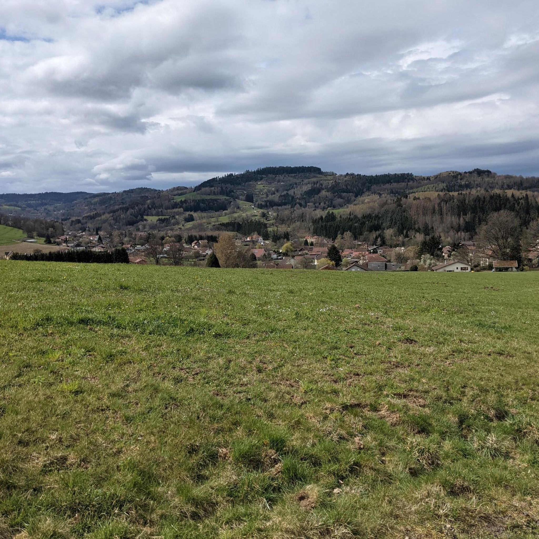
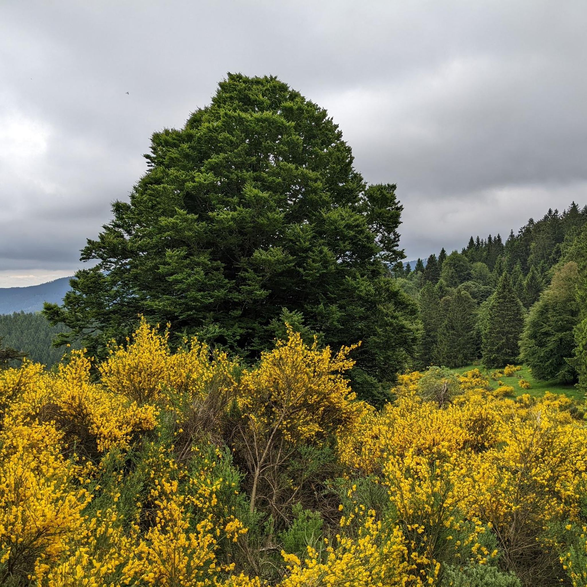
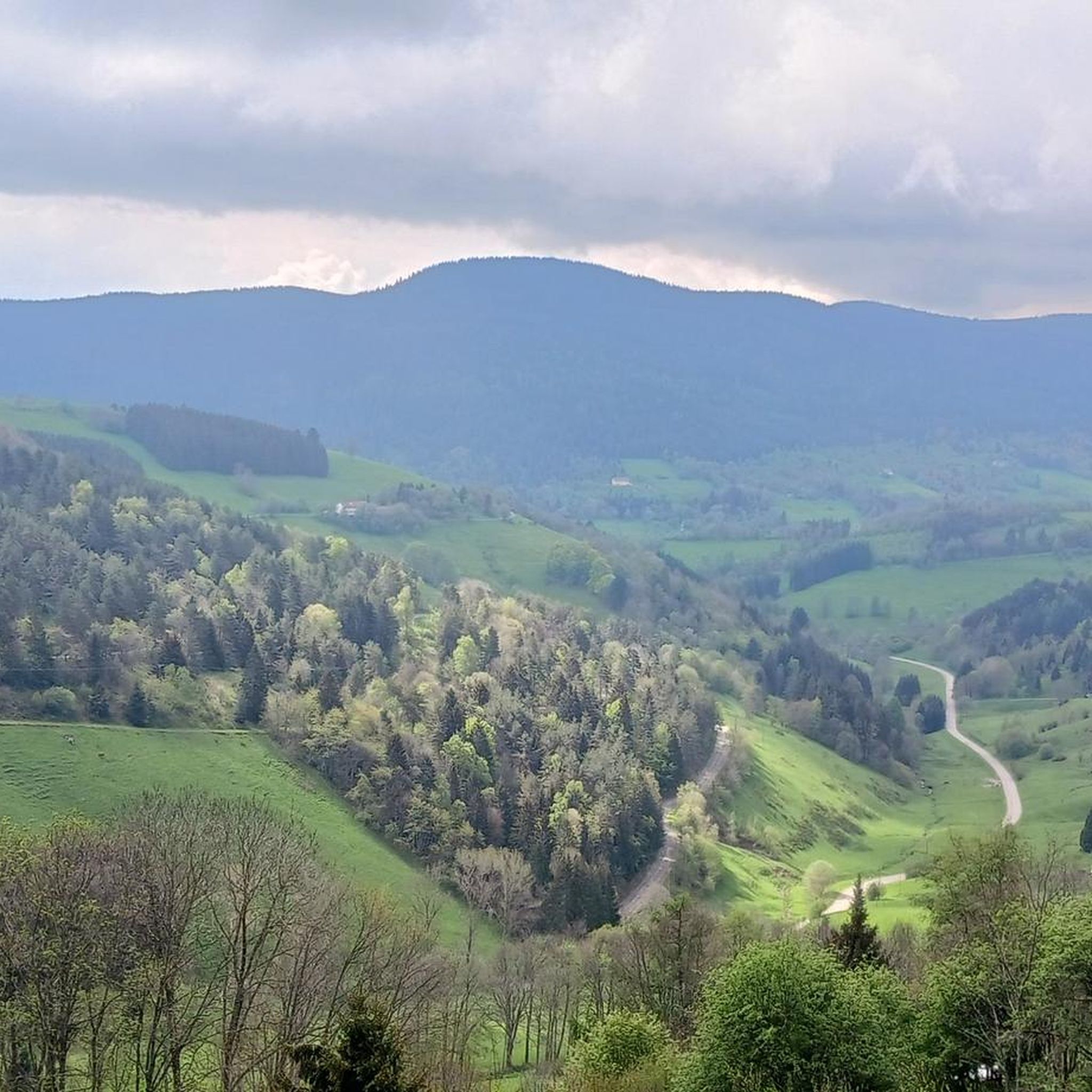


Tips from the Community

yes up there you have a good view
1
0


Magnificent pass to climb from different slopes (Breitenbach, Steige, Vallée de la Bruche, Andlau). It is also a crossing point towards the Champ du feu, the Hohwald, the Mont Ste Odile.
0
0

Col de Mandray (694 m) is a quiet and steady climb in the Vosges, ideal for a relaxing ride or as a warm-up for more difficult cols. From Fraize you climb over 4.5 km with an average gradient of 4.2%. The road is well passable, with little traffic and beautiful views over the Meurthe valley. A hidden gem for those who love quiet, natural climbs.
11
0

As in Germany, most fountains are merely decorative and labeled "Water not suitable for drinking." It's therefore all the more pleasant to find a fountain here that even explicitly says "drinking water." One of the few fountains in the area has drinking water.
0
0

If you are coming from the direction of the Col de Bonhomme or the Route de Cretes, this is the best alternative to the busy yellow road. Going the other way... phew 😁
0
0
Instead of driving down the Col de Bonhomme on the yellow road, there is an option to drive into the "forest" further up the Route de Cretes in the bend. You drive on tarred roads through the forest to the Col de Mandray. Simply great...
0
0
Frequently Asked Questions
How many road cycling routes are available around Bertrimoutier?
There are over 130 road cycling routes in the Bertrimoutier area, catering to various skill levels. This includes 15 easy, 84 moderate, and 31 difficult routes, ensuring options for every road cyclist.
What kind of terrain can I expect when road cycling near Bertrimoutier?
Road cycling routes around Bertrimoutier feature a diverse landscape of river valleys, rolling hills, and forested areas. You'll encounter a mix of terrain, from gentle valley paths to more challenging ascents towards passes and elevated viewpoints, offering varied gradients and scenic rural environments.
Are there road cycling routes suitable for beginners in Bertrimoutier?
Yes, Bertrimoutier offers 15 easy road cycling routes perfect for beginners or those seeking a more relaxed ride. These routes typically follow gentler gradients through the valleys.
What are some challenging road cycling routes around Bertrimoutier?
For experienced road cyclists seeking a challenge, there are 31 difficult routes. An example is the Haut de Ribeauvillé Pass – White Lake loop from Raves, which covers 109.3 km with significant climbs and takes approximately 6 hours 10 minutes to complete.
Are there long-distance road cycling options in Bertrimoutier?
Yes, for those looking for longer rides, routes like the Haut de Ribeauvillé Pass – White Lake loop from Raves offer a substantial challenge, spanning nearly 110 km. Many other routes can also be linked to create extended tours.
Can I find circular road cycling routes in Bertrimoutier?
Many of the road cycling routes around Bertrimoutier are designed as loops, allowing you to start and finish at the same point. For instance, the Fave Valley loop from Remomeix is a popular 55.8 km circular route.
What scenic viewpoints can I discover on road cycling routes near Bertrimoutier?
The region offers several stunning viewpoints accessible by road bike. Consider visiting Dry Fir Rock or La Roche Saint-Martin and View of Saint-Dié for panoramic vistas of the surrounding landscape.
Are there any notable natural landmarks to see while road cycling in the Bertrimoutier area?
Yes, you can explore several natural landmarks. The Grand Brézouard summit offers impressive views, and the Roche des Abris is another interesting natural monument to discover.
What historical sites or passes can I explore on a road bike around Bertrimoutier?
Road cyclists can incorporate historical and geographical points of interest into their rides. Notable mountain passes like Bagenelles Pass and Col du Bonhomme are popular cycling destinations, and you might also encounter sites like the Trail of the Hamlets Fallen for France – La Fontenelle.
What is the best time of year for road cycling in Bertrimoutier?
The most favorable time for road cycling in Bertrimoutier is typically from spring through autumn (April to October). During these months, the weather is generally milder, and the roads are clear of snow, providing ideal conditions for exploring the region's diverse terrain.
What do other road cyclists enjoy the most about road cycling in Bertrimoutier?
The road cycling routes in Bertrimoutier are highly rated by the komoot community, with an average score of 4.0 stars from over 180 reviews. Cyclists often praise the varied terrain, scenic rural environments, and the mix of challenging climbs and gentle valley paths that cater to different abilities.
Are there road cycling routes that include cafe stops or places to refuel?
While specific cafe stops are not detailed for every route, the routes often pass through or near small villages and towns in the Fave Valley and surrounding areas. These locations typically offer opportunities to find cafes, bakeries, or small shops to refuel during your ride.
Most popular routes around Bertrimoutier
Most popular attractions around Bertrimoutier

Get inspired with the komoot mobile app


Explore more
Browse the best Road cycling routes in other regions.
