The best walks and hikes around Veurey-Voroize
4.5
(1188)
10,456
hikers
386
hikes
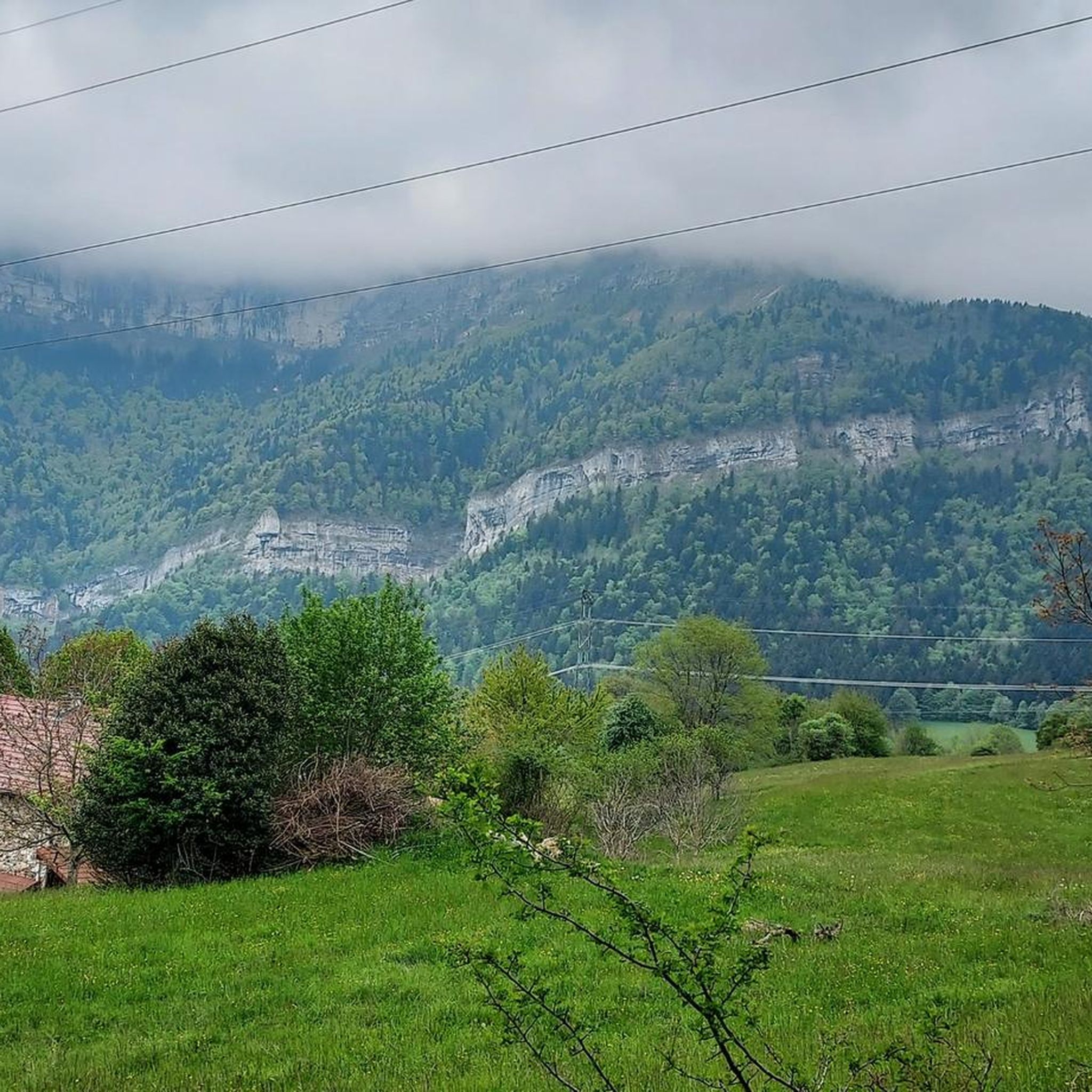
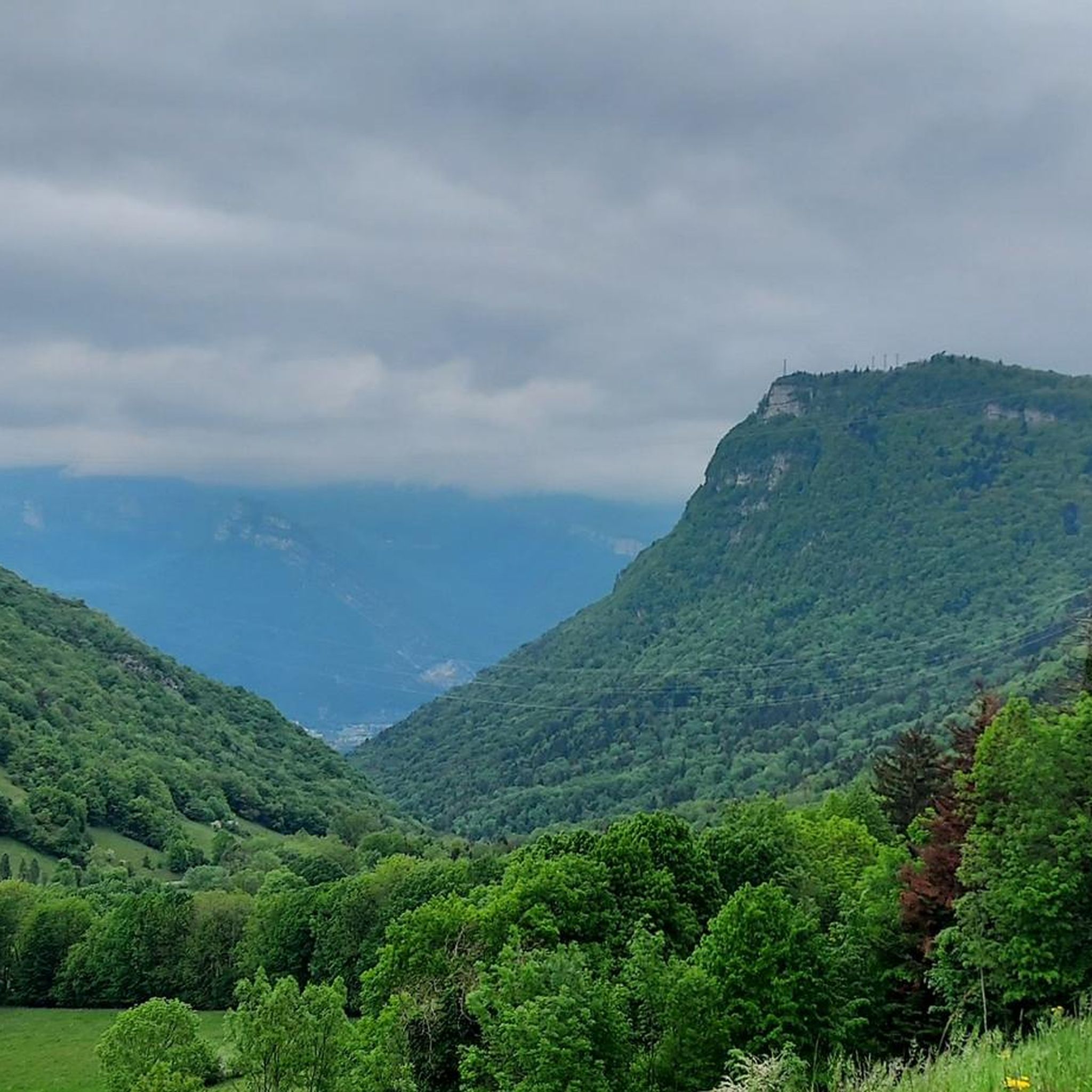
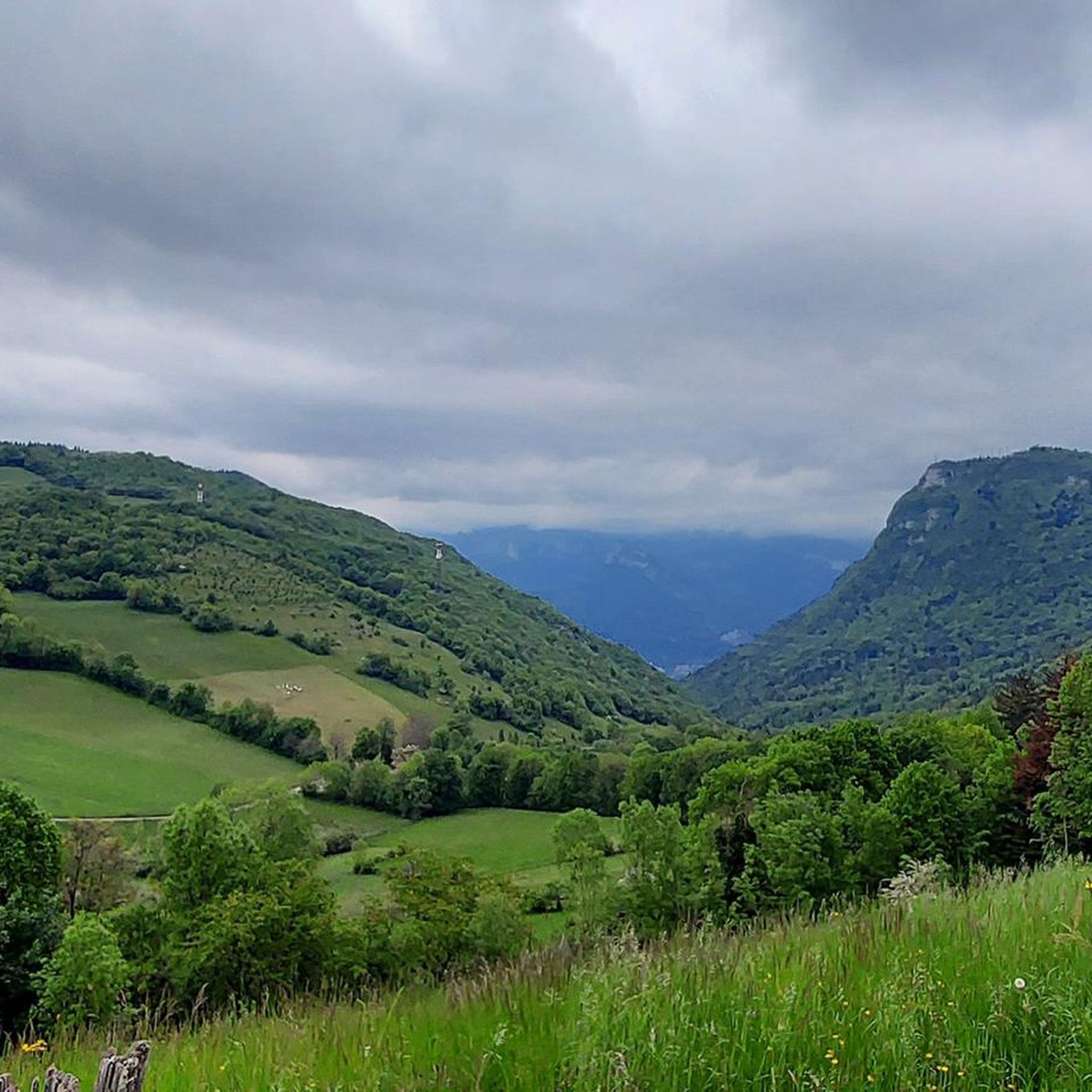
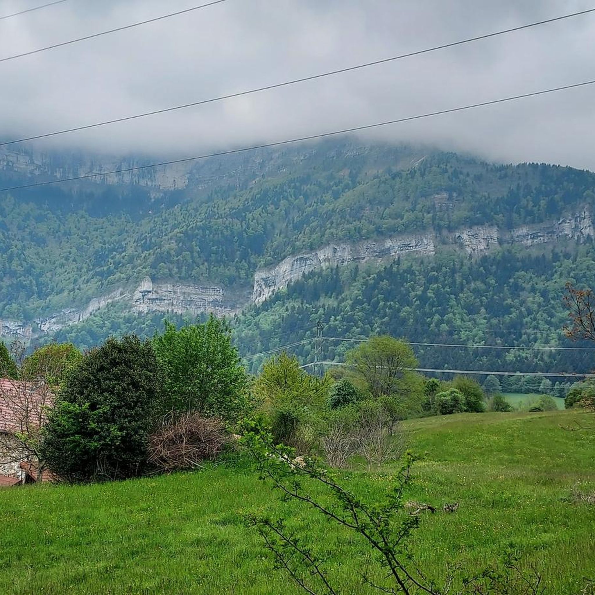
Hiking around Veurey-Voroize offers access to diverse landscapes within the Isère department of the Auvergne-Rhône-Alpes region. The area is characterized by its proximity to the Vercors Regional Natural Park, featuring mid-mountain massifs, high plateaus, and extensive forests. To the east, the Chartreuse Nature Park provides tranquil woods and impressive peaks. The region's terrain includes mountain passes, valleys, and numerous well-maintained trails suitable for various hiking abilities.
Best hiking trails around Veurey-Voroize
- The most popular hiking route is La dent de…
Last updated: October 4, 2026
4.7
(66)
339
hikers
10.9km
03:16
330m
330m
Moderate hike. Good fitness required. Easily-accessible paths. Suitable for all skill levels.
4.4
(12)
65
hikers
7.90km
02:49
450m
450m
Moderate hike. Good fitness required. Easily-accessible paths. Suitable for all skill levels.

4.7
(7)
61
hikers
10.7km
04:35
640m
640m
Hard hike. Good fitness required. Sure-footedness, sturdy shoes and alpine experience required.
4.5
(12)
109
hikers
10.5km
03:08
320m
320m
Moderate hike. Good fitness required. Easily-accessible paths. Suitable for all skill levels.
4.7
(7)
50
hikers
5.92km
02:11
280m
280m
Moderate hike. Good fitness required. Mostly accessible paths. Sure-footedness required.
Get access to more routes and recommendations from other explorers.
Already have an account?
Our route recommendations are based on thousands of hikes, rides, and runs completed by other people on komoot.
Start today with a free account
Your next adventure awaits.


Tips from the Community


Apparently, the Saint-Ours Chapel is not really one (it is rather a simple building without religious reference), and was built by a former resident of the commune of Veurey-Voroize, by the name of "Mr Dupuy de Bordes". @ to be continued...
0
0
Coordinates: 45.2930556 5.6077778: Unusual this old "cable car", there is an old quarry below...surely related. Mystery...
0
0

The Mortier tunnel is a tunnel in France located in Isère, northwest of Grenoble. On the occasion of the Winter Olympic Games in Grenoble, which took place from February 6 to 18, 1968, a 18.3 km road with a height difference of approximately 1,200 meters was built to connect the Autrans plateau (where some events took place) and the Isère Valley via the villages of St-Quentin and then Toulaud. The route of this road then ended with an underground structure; the Mortier tunnel, 515 meters long and allowing passage under the cliffs of the Pointe de la Buffe. But the engineers of the time who had traced this route had clearly underestimated the risks of landslides. On two occasions, in 1971 (50,000 m3) and then in 1992 (20,000 m3), the road was swept away by huge rock falls from the cliffs overlooking it a few hundred metres from the eastern entrance to the structure. Given the high costs of repair and the risk of further rock falls, local elected officials decided to abandon this route for good. The trench caused by the rock falls can now only be crossed on foot via a chaotic path across a steep slope. With no exit, the Tunnel, accessible only from Autrans, is also abandoned, subject to drafts and the ravages of time.
1
0

La Sure culminates at an altitude of 1,643 meters between the peaks of La Buffe and the Sornin plateau. Its panorama offers views of Grenoble, the Chartreuse massif and the Mont-Blanc massif.
0
0
Culminating at 1,623 meters, La Buffe is the northernmost peak of the western ridge of the Vercors. Belvedere of the Isère valley, you can observe Mont Blanc when the weather is clear.
1
0
Frequently Asked Questions
How many hiking trails are available around Veurey-Voroize?
The region around Veurey-Voroize offers a vast network of over 350 hiking trails. These routes cater to a wide range of abilities, from easy walks to more challenging ascents, exploring the diverse landscapes of the Isère department.
Are there easy or beginner-friendly hikes in Veurey-Voroize?
Yes, Veurey-Voroize provides numerous options for beginners and those seeking easier walks. There are over 70 easy routes available, often traversing fields, valleys, or less strenuous forest paths. These trails allow you to enjoy the natural beauty without significant elevation gain.
What kind of landscapes can I expect to see while hiking here?
Hiking around Veurey-Voroize offers incredibly diverse landscapes. You'll encounter the mid-mountain massifs and high plateaus of the Vercors Regional Natural Park, tranquil woods and impressive peaks of the Chartreuse Nature Park, and scenic views over the Isère valley. The terrain includes forests, mountain passes, and even some canyons.
Are there any circular walks available?
Many trails in the Veurey-Voroize area are designed as circular routes, allowing you to start and end at the same point. For example, the Outlook 1 – La Buffe Summit loop from Le Mortier - La Sure is a moderate circular hike offering great views.
Which hikes offer the best panoramic views?
For breathtaking panoramic views, consider trails that ascend to notable peaks or viewpoints. The area is known for spots like the Dent de Moirans and Charande, which offer stunning vistas over the Isère valley and the surrounding natural parks. The Belvédère de l'Échaillon, located directly in Veurey-Voroize, also provides scenic panoramas.
Can I find hikes that are suitable for families with children?
Yes, the region has many family-friendly options. With over 70 easy routes, you can find trails that are shorter in distance and have less elevation, making them suitable for children. Look for paths through forests or along valleys for a pleasant family outing.
Are dogs allowed on the hiking trails?
Generally, dogs are welcome on most hiking trails in the Veurey-Voroize area, especially in the Vercors and Chartreuse Regional Natural Parks. However, it's always advisable to keep them on a leash, particularly in nature reserves or areas with livestock, to protect local wildlife and ensure their safety.
What natural attractions or landmarks can I explore near the trails?
Beyond the trails themselves, the region boasts several natural attractions. You can explore fascinating geological features like the Coup de Sabre Gorge or the Gorges du Crossey. There are also mountain passes such as the Clémencières Pass and the Vence Pass, offering unique landscapes and views.
What do other hikers say about the trails in Veurey-Voroize?
The hiking trails around Veurey-Voroize are highly regarded by the komoot community, with an average rating of 4.6 stars from over 1,000 reviews. Hikers frequently praise the diverse terrain, the stunning views of the Vercors and Chartreuse parks, and the well-maintained paths that cater to various skill levels.
Is there parking available at trailheads?
While specific parking information varies by trailhead, many popular starting points for hikes in the Veurey-Voroize area, especially those leading into the Vercors and Chartreuse Natural Parks, typically offer designated parking areas. It's recommended to check the route details on komoot for specific parking suggestions for your chosen trail.
When is the best time of year to go hiking in Veurey-Voroize?
The best time for hiking in Veurey-Voroize is generally from spring through autumn (April to October). During these months, the weather is milder, and the trails are usually clear of snow, offering ideal conditions to explore the diverse landscapes. Summer provides lush greenery, while autumn brings vibrant colors to the forests.
Are there any winter hiking opportunities?
While many trails might be covered in snow during winter, especially at higher elevations in the Vercors and Chartreuse parks, some lower-altitude routes around Veurey-Voroize can still be accessible for winter hiking or snowshoeing. Always check local conditions and weather forecasts before heading out in winter.
Most popular routes around Veurey-Voroize
Most popular attractions around Veurey-Voroize

Get inspired with the komoot mobile app


Explore more
Browse the best Hikes in other regions.
