The best running trails around Saint-Jean-D'Ormont
4.3
(25)
1,940
runners
200
runs
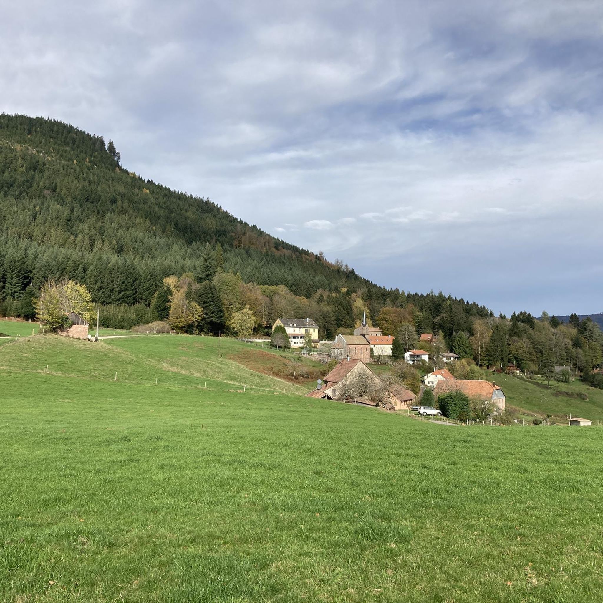
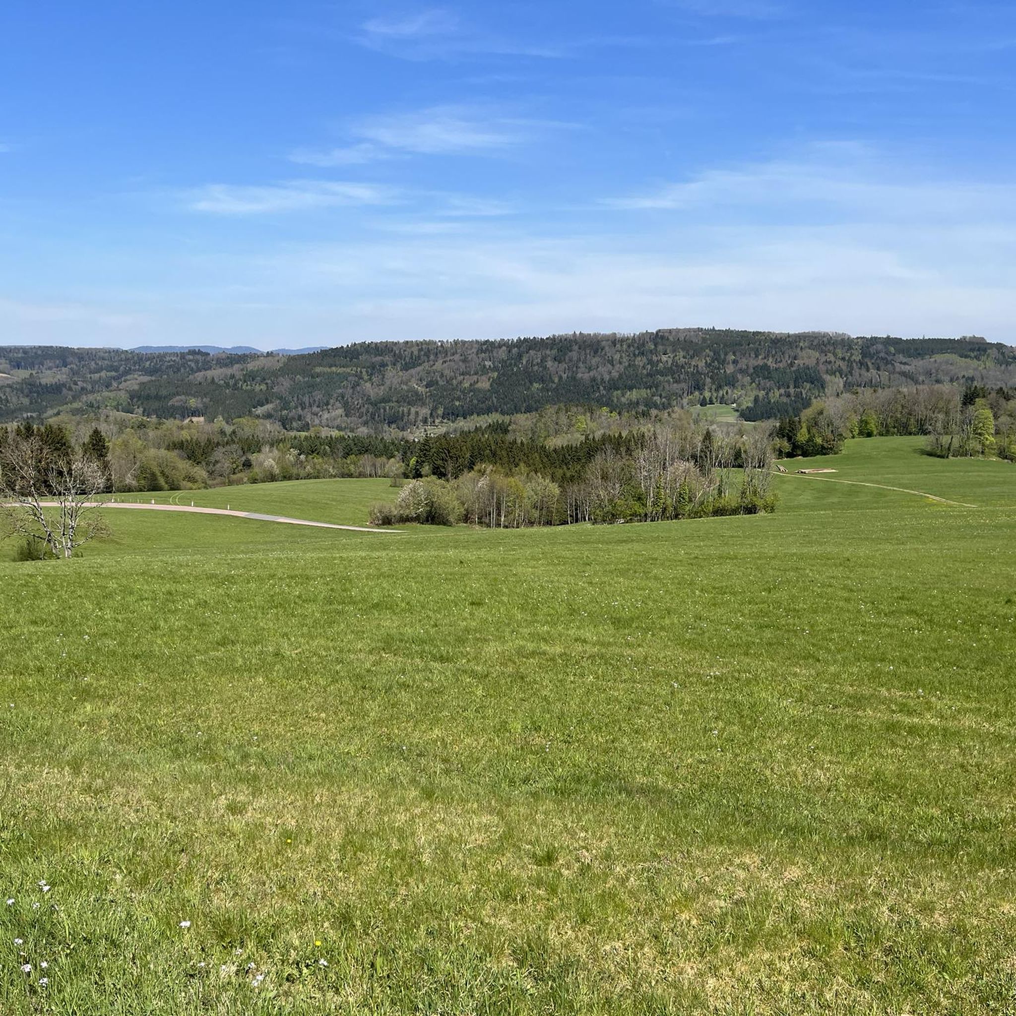
Jogging routes around Saint-Jean-D'Ormont are situated in the Vosges region of France, characterized by a landscape of hills, forests, and valleys. This varied terrain provides diverse options for different fitness levels, with trails ranging from accessible paths to more challenging routes. The area is at the foot of the Vosges mountains, offering numerous viewpoints and natural features.
Best jogging routes around Saint-Jean-D'Ormont
- The most popular jogging route is Great point of view loop from Saint-Jean-d'Ormont, a 5.9 miles (9.5…
Last updated: May 20, 2026
61
runners
24.2km
02:57
660m
660m
Hard run. Very good fitness required. Mostly paved surfaces. Suitable for all skill levels.
33
runners
9.49km
01:12
200m
200m
Hard run. Good fitness required. Sure-footedness, sturdy shoes and alpine experience required.

Sign up for free
5.0
(1)
10
runners
37.7km
04:57
1,410m
1,410m
Hard run. Very good fitness required. Sure-footedness, sturdy shoes and alpine experience required.
10
runners
5.98km
00:39
100m
100m
Moderate run. Good fitness required. Mostly paved surfaces. Suitable for all skill levels.
10
runners
17.7km
02:30
690m
700m
Hard run. Very good fitness required. Sure-footedness, sturdy shoes and alpine experience required.
Get access to more routes and recommendations from other explorers.
Sign up for free
Already have an account?
Our route recommendations are based on thousands of hikes, rides, and runs completed by other people on komoot.
Start today with a free account
Your next adventure awaits.
Login or Signup

Tips from the Community

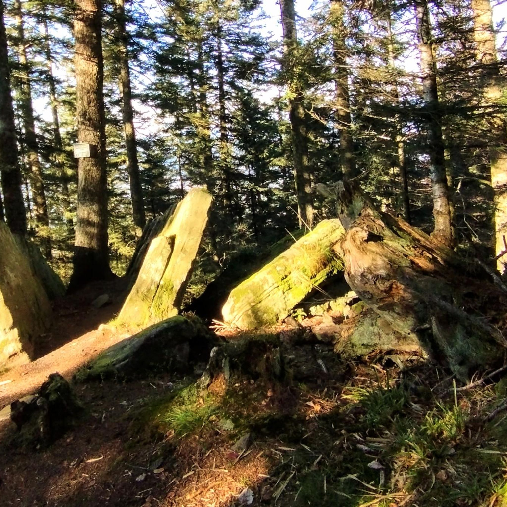
Magnificent rock, very impressive and a great trail!
0
0

E e u err there is one and and and and ere and an e one
0
0

La Fontenelle (hill 627) forms a remarkable “balcony” overlooking the Rabodeau and Hure valleys. This strategic location, initially held by the French, was captured by the Germans on 22 June 1915. After a perfectly coordinated attack, the French recaptured the site on 8 and 9 July 1915 and held it until the end of the war. La Fontenelle was also the scene of a short mine warfare.
1
0

This rock shelter linked to a fort is that of the commander of the cartographic section. Inside there is a table, a stove, a bed, a telephone and electricity. This is where all the information obtained by the observers on the massif arrives.
0
0
The Ormont massif is made of sandstone rock and peaks at an altitude of 899 m. It is located in Saint-Dié-des-Vosges.
0
0


Frequently Asked Questions
How many running routes are available in Saint-Jean-D'Ormont?
There are nearly 200 running routes mapped around Saint-Jean-D'Ormont, offering a wide variety of options for different fitness levels and preferences. These include 7 easy routes, over 100 moderate trails, and more than 80 challenging paths.
What kind of terrain and difficulty can I expect on the running trails around Saint-Jean-D'Ormont?
The terrain in Saint-Jean-D'Ormont is characterized by a mix of hills, dense forests, and valleys, situated at the foot of the Vosges mountains. You'll find routes ranging from easily accessible paths with modest elevation gains to more challenging trails with significant ascents, some featuring elevation gains of up to 1,000 feet. For example, the Molières Waterfall – Fairy Rocks loop from Saint-Jean-d'Ormont is a difficult route with over 1400m of elevation gain.
Are there any running routes with great viewpoints in the Saint-Jean-D'Ormont area?
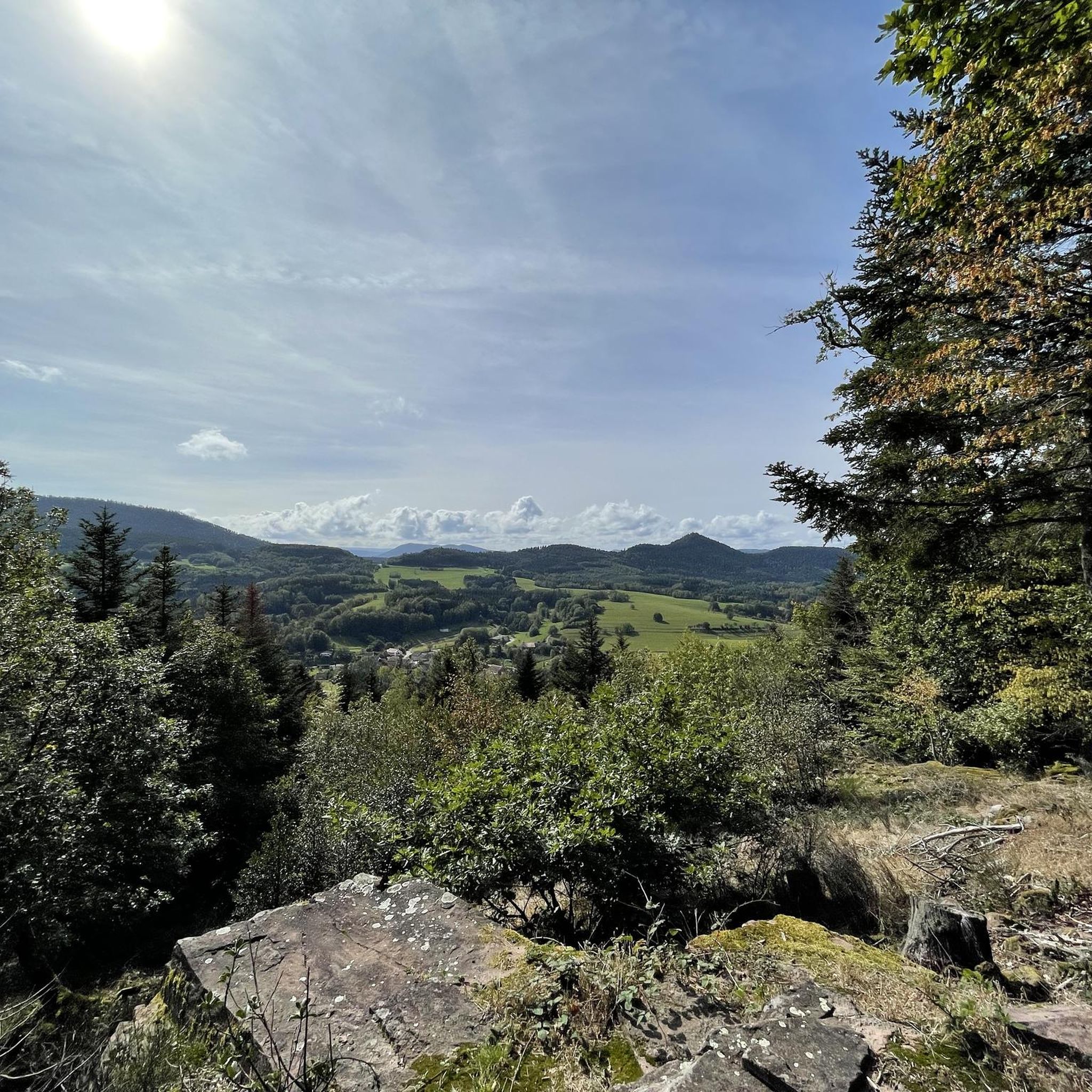
Yes, the region is known for its magnificent viewpoints. The Great point of view loop from Saint-Jean-d'Ormont is specifically highlighted for its scenic vistas, including those around the La Bure Celtic Camp. Additionally, La Fontenelle hill offers 'remarkable balconies' overlooking the Rabodeau and Hure valleys, providing excellent panoramic views for runners.
Can I find circular running routes in Saint-Jean-D'Ormont?
Many of the running routes in Saint-Jean-D'Ormont are circular, allowing you to start and finish at the same point. Examples include the popular Great point of view loop from Saint-Jean-d'Ormont and the challenging Haut de Rittempierre loop from Saint-Jean-d'Ormont. These loops are ideal for exploring the diverse landscapes without needing to retrace your steps.
What natural attractions can I see along the running trails?
The trails often lead past notable natural features. You can explore the area around the La Bure Celtic Camp, which offers scenic vistas. The Molières Waterfall – Fairy Rocks loop from Saint-Jean-d'Ormont takes you past the Source of the Tree – Molières Waterfall. Other points of interest include the Dry Fir Rock and various viewpoints like La Roche Saint-Martin.
Are there any easy or beginner-friendly running routes in Saint-Jean-D'Ormont?
Yes, Saint-Jean-D'Ormont offers several easy running routes suitable for beginners or those looking for a less strenuous run. For instance, the loop around the Source of the Tree – Molières Waterfall from Hortimont is approximately 4.68km long with a modest 90m elevation gain, making it a good option for a relaxed run amidst nature. There are 7 easy routes available in total.
What do other runners say about jogging in Saint-Jean-D'Ormont?
The running routes in Saint-Jean-D'Ormont are highly rated by the komoot community, with an average score of 4.4 stars from over 20 reviews. Runners often praise the varied terrain, the magnificent viewpoints, and the well-mapped trails that cater to different ability levels. Over 2000 runners have used komoot to explore the area's diverse landscapes.
Is Saint-Jean-D'Ormont suitable for challenging long-distance running?
Absolutely. For those seeking a significant challenge, Saint-Jean-D'Ormont offers several difficult routes with substantial distances and elevation gains. The View from La Fontenelle loop from Ban-de-Sapt, for example, spans over 24 km with more than 660m of elevation gain, providing a demanding experience for experienced runners. There are 84 difficult routes in the region.
What is the best time of year to go running in Saint-Jean-D'Ormont?
The Vosges region, including Saint-Jean-D'Ormont, offers beautiful running conditions across multiple seasons. Spring and autumn provide pleasant temperatures and vibrant scenery with blooming flowers or colorful foliage. Summer is also popular, though some trails might be warmer. Winter running is possible, but conditions can be more challenging due to snow or ice, especially on higher elevation trails.
Are there any historical sites or landmarks to discover while running?
Yes, some routes pass by interesting historical sites. The La Bure Celtic Camp is a notable historical site that can be incorporated into your run, offering both historical context and scenic views. Another point of interest is the Trail of the Hamlets Fallen for France – La Fontenelle, which combines natural beauty with historical significance.
Are there running routes suitable for families with children?
While specific 'family-friendly' routes are not explicitly detailed, the presence of easily accessible paths with modest elevation gains suggests options suitable for families. The 4.68km loop around the Source of the Tree – Molières Waterfall, with its gentle 90m elevation, could be a good choice for a less strenuous outing with children.
Where can I find parking for the running trails in Saint-Jean-D'Ormont?
Parking is generally available near popular trailheads and points of interest. For specific routes like the La Bure Celtic Camp, Molières Waterfall, Dry Fir Rock, or La Fontenelle, you can typically find designated parking areas. It's advisable to check the starting points of individual routes on komoot for detailed parking information.
Most popular routes around Saint-Jean-D'Ormont
Most popular attractions around Saint-Jean-D'Ormont

Get inspired with the komoot mobile app


Explore more
Browse the best Running Trails & Routes in other regions.
