The best mountain hikes around La Combe-De-Lancey
4.8
(17)
238
hikers
18
hikes
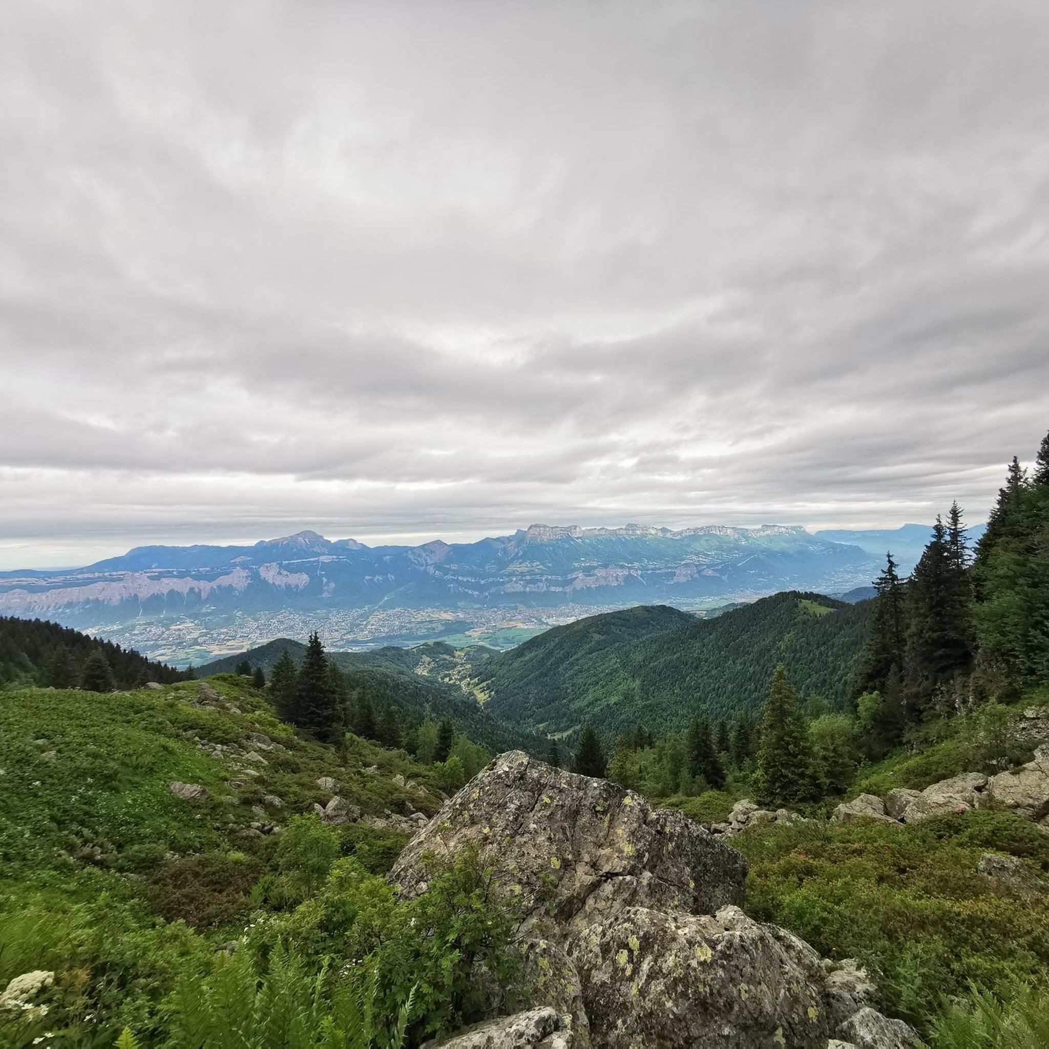
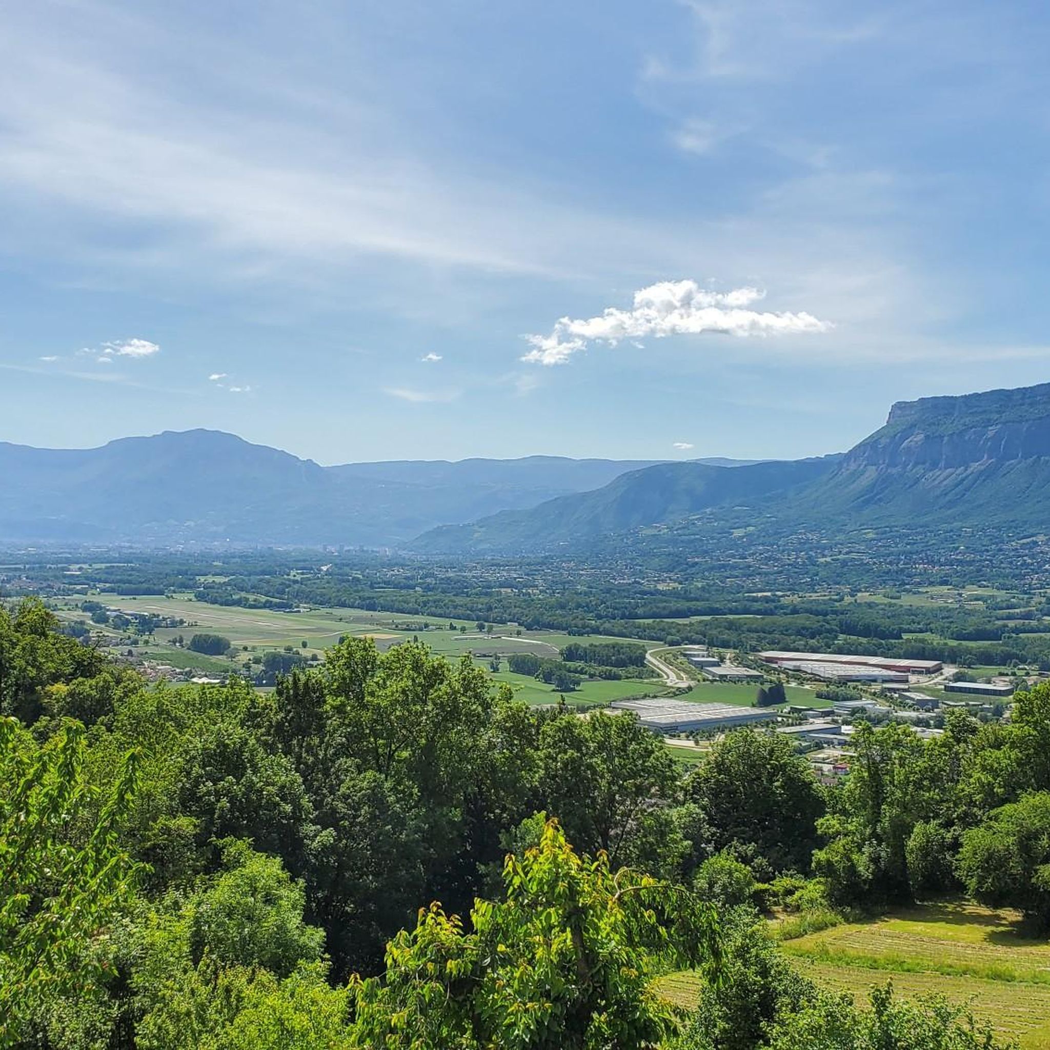
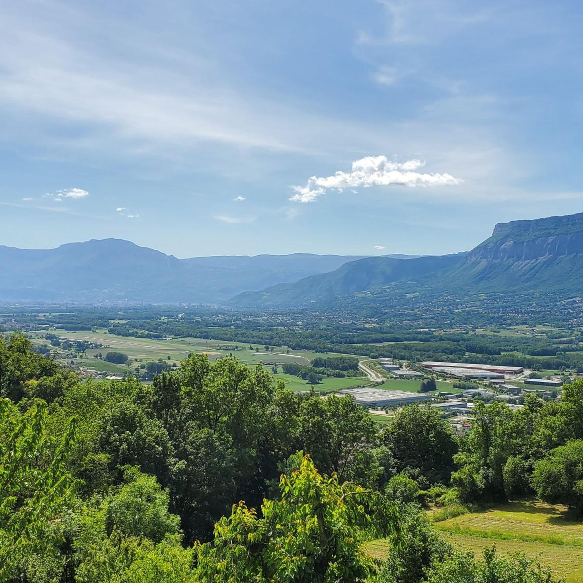
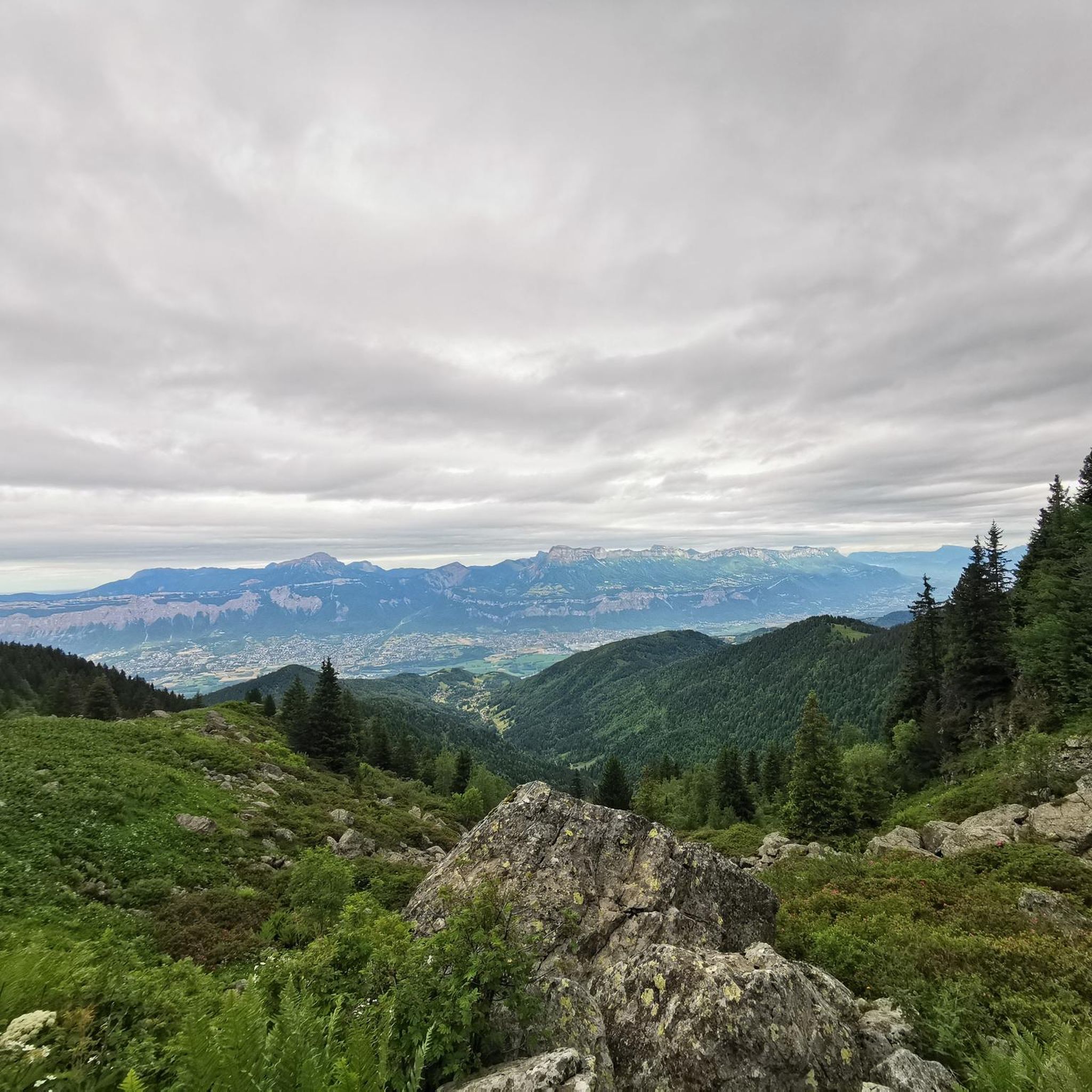
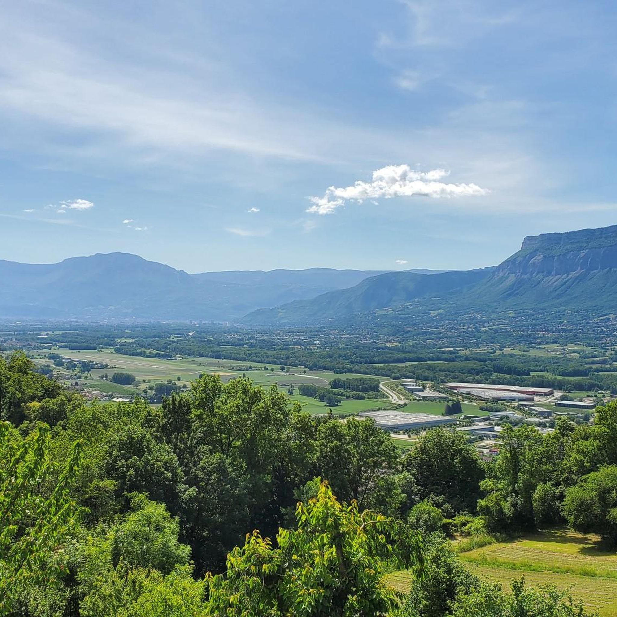
Mountaineering routes around La Combe-De-Lancey are situated within the Belledonne Massif in France's Auvergne-Rhône-Alpes region. This area is characterized by steep, wild mountainous terrain, featuring elevations that reach close to 2928 meters. The landscape encompasses diverse alpine stages, including dense forests, expansive alpine pastures, and rugged rocky summits. The region also features several notable alpine lakes and offers extensive views of the Grésivaudan valley.
Best mountaineering routes around La Combe-De-Lancey
- The most popular mountaineering route is Le Habert d'Aiguebelle Refuge…
Last updated: July 1, 2026
5.0
(1)
44
hikers
Hard mountaineering route. Very good fitness required. Mostly accessible paths. Sure-footedness required.
20
hikers
Hard mountaineering route. Very good fitness required. Mostly accessible paths. Sure-footedness required.

Sign up for free
5.0
(3)
19
hikers
21.1km
10:20
1,490m
1,490m
Hard mountaineering route. Very good fitness required. Sure-footedness, sturdy shoes and alpine experience required.
3.0
(1)
17
hikers
Moderate mountaineering route. Good fitness required. Mostly accessible paths. Sure-footedness required.
17
hikers
12.3km
06:14
1,060m
1,060m
Hard mountaineering route. Very good fitness required. Sure-footedness, sturdy shoes and alpine experience required.
Get access to more routes and recommendations from other explorers.
Sign up for free
Already have an account?
Our route recommendations are based on thousands of hikes, rides, and runs completed by other people on komoot.
Start today with a free account
Your next adventure awaits.
Login or Signup

Tips from the Community


For a stopover during the Tour des lacs des 7 Laux or just a break. A very friendly team with simple but quality cuisine and more than reasonable prices. In short, a break is essential.
0
0
Alone in the world... Or almost
0
0

Very beautiful view when the sky is clear, remember to take a windbreaker at the summit, you will find ibexes. The area is really very simple and does not require strong hiking / trail experience (for the altitude 2930 I think)
1
0
In winter as in summer it is perfect, full of spots for bivouacking, a walk or a trail, there are no dangerous areas, and all the passages are simple and well indicated! 👌
0
0
Magnificent lake! Accessible to all! As a bonus, you'll find ibexes and a few marmots if you're lucky. For the more courageous, you can climb to an altitude of 2,900 m by continuing on the path with a magnificent view if the sky is clear!
0
0


Very nice refuge, it makes you want to spend the night there.
0
0
Frequently Asked Questions
How many mountaineering routes are available around La Combe-De-Lancey?
There are over 20 mountaineering routes documented around La Combe-De-Lancey, offering a range of experiences within the rugged Belledonne Massif. These routes are highly rated by the komoot community, with an average score of 4.8 stars.
Are there any easy mountaineering routes suitable for beginners in the area?
While the region is known for its challenging terrain, there is at least one easy mountaineering route available. The network also includes 5 moderate options, providing a good progression for those looking to build experience before tackling the more difficult ascents.
What kind of natural features can I expect to see along the mountaineering routes?
The routes traverse diverse alpine stages, including dense forests, expansive alpine pastures, and rugged rocky summits. You'll encounter beautiful alpine lakes such as Lake Crozet, Lake Achard, and Lac Blanc, known for its turquoise color. Many routes also offer extensive views of the Grésivaudan valley and the surrounding peaks.
Are there any routes that pass by waterfalls?
Yes, the Belledonne Massif features several beautiful waterfalls. Some routes may offer views of cascades like Cascade de la Fare or Oursière Waterfall, adding to the scenic beauty of your mountaineering experience.
Can I find circular mountaineering routes in La Combe-De-Lancey?
Absolutely. Many of the mountaineering routes in the area are designed as loops, allowing you to start and finish at the same point. For example, the difficult Le Habert d'Aiguebelle Refuge – Cime de la Jasse loop from Parking de l'Olagneraie is a popular choice, taking you through varied terrain and past a mountain refuge.
Are there any mountaineering routes that visit multiple lakes?
Yes, you can explore routes that connect several stunning alpine lakes. The difficult Lac du Crozet – Lake Doménon loop from La Pliou - Pré Raymond is a longer option that takes you past multiple high-altitude lakes, offering breathtaking scenery.
What is the best time of year for mountaineering in La Combe-De-Lancey?
The best time for mountaineering typically spans from late spring to early autumn (June to September) when snow has largely melted from higher elevations and weather conditions are more stable. However, conditions can vary, so always check local forecasts and trail conditions before heading out.
Are there mountain refuges along the routes for multi-day treks?
Yes, the presence of mountain huts like the Refuge du Pré du Mollard supports multi-day treks and mountaineering expeditions. Some routes, such as the moderate Pas de la Coche and Lake – Le Habert d'Aiguebelle Refuge loop from Parking de l'Olagneraie, pass by refuges, offering opportunities for rest or overnight stays.
Are there any routes that offer panoramic views of the Grésivaudan valley?
Many of the higher elevation routes provide incredible panoramic views. From peaks like Pointe de la Sitre or the Refuge du Pré du Molard, you can enjoy extensive vistas of the Grésivaudan valley, the Vercors massif, Grenoble, and the wider Alps on clear days.
Is there a mountaineering route that focuses on high-altitude lakes?
For those interested in high-altitude lakes, the difficult Lac du Pas de la Coche – Grand lac du Vénétier loop from Le Muret is an excellent choice. This trail leads through a landscape dotted with stunning alpine lakes, often completed in about 5.5 hours.
What do other mountaineers appreciate most about the routes in La Combe-De-Lancey?
The routes in La Combe-De-Lancey are highly rated by the komoot community, with an average score of 4.8 stars from over 40 reviews. Mountaineers often praise the region's rugged and wild mountainous terrain, the diverse alpine landscapes, and the stunning views of alpine lakes and valleys.
Most popular routes around La Combe-De-Lancey
Most popular attractions around La Combe-De-Lancey

Get inspired with the komoot mobile app


Explore more
Browse the best Mountain Hikes & Routes in other regions.
