The best running trails around Saint-Mury-Monteymond
4.4
(185)
10,946
runners
400
runs
Jogging routes around Saint-Mury-Monteymond are situated within the Isère department, offering a diverse terrain on the western slopes of the Belledonne massif. The region features varied topography, including mountainous landscapes, alpine lakes, and extensive forest trails. Runners can explore paths ranging from lower elevations to challenging ascents, providing a range of experiences.
Best jogging routes around Saint-Mury-Monteymond
- The most popular jogging route is Cirque of the Boulon Waterfalls loop from Parking de Pré Long, a 8.9 miles (14.3 km)…
Last updated: August 20, 2026
89
runners
14.6km
02:57
1,050m
1,050m
Hard run. Very good fitness required. Sure-footedness, sturdy shoes and alpine experience required.
31
runners
8.35km
00:53
50m
50m
Moderate run. Good fitness required. Mostly paved surfaces. Suitable for all skill levels.

Sign up for free
22
runners
12.8km
02:30
970m
970m
Hard run. Very good fitness required. Sure-footedness, sturdy shoes and alpine experience required.
16
runners
15.4km
02:01
610m
610m
Hard run. Very good fitness required. Mostly accessible paths. Some sure footedness required.
13
runners
Hard run. Very good fitness required. Sure-footedness, sturdy shoes and alpine experience required.
Get access to more routes and recommendations from other explorers.
Sign up for free
Already have an account?
Our route recommendations are based on thousands of hikes, rides, and runs completed by other people on komoot.
Start today with a free account
Your next adventure awaits.
Login or Signup


Tips from the Community

From this cross there is a splendid view of the Chartreuse massif, the Grésivaudan valley towards Grenoble and Chambéry, the Belledonne massif and, as an added bonus, there are orientation tables. Super 👌!
1
0

A magnificent refuge with a superb view of Grenoble and its surroundings.
1
0

From here you can enjoy a breathtaking view of the Grésivaudan, with the mountains in the background on the other side of the valley.
0
0

One of the many beautiful viewpoints found along the crossing of Belledonne.
1
0

Facing the Chartreuse, the Belvedere of the Croix de Révollat dominates the Grésivaudan and the Grenoble Basin.
2
0

Refuge with rudimentary comfort but with a warm welcome and the food is very good!
0
1

What a view.. Belledonne in all its glory! Do not hesitate to push to the small spear of crozet, you will not be disappointed
0
0

An incredible passage, almost desert! We move close to the cliffs, on which several waterfalls spring up.
0
0
Frequently Asked Questions
How many running routes are available in Saint-Mury-Monteymond?
The region around Saint-Mury-Monteymond offers a wide selection of running routes, with over 300 trails available for exploration. These routes cater to various fitness levels, from moderate paths to challenging mountain ascents.
Are there any easy or beginner-friendly running routes in the area?
Yes, Saint-Mury-Monteymond provides options for all skill levels. There are 13 easy routes and 151 moderate routes, making it possible for beginners or those looking for a less strenuous run to find suitable paths. For example, the Running loop from Villard-Bonnot is a moderate 5.2-mile path ideal for a quicker session.
Can I find circular running routes around Saint-Mury-Monteymond?
Many of the running routes in Saint-Mury-Monteymond are designed as circular loops, offering convenient starting and ending points. Examples include the challenging Cirque of the Boulon Waterfalls loop from Parking de Pré Long or the Gîte d'Alpage Le Pré du Molard – Col de la Sitre loop from Parking de Pré Long, both offering diverse scenery.
What kind of natural features or landmarks can I expect to see on these trails?
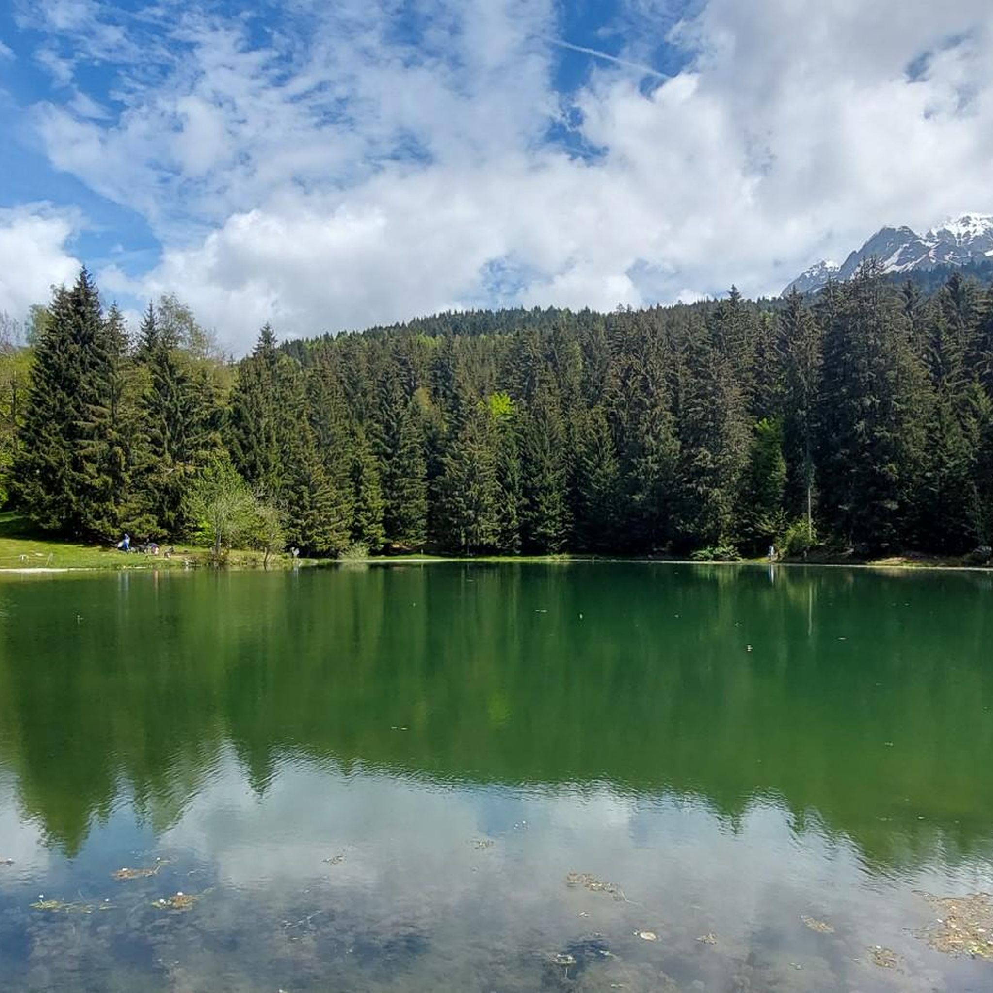
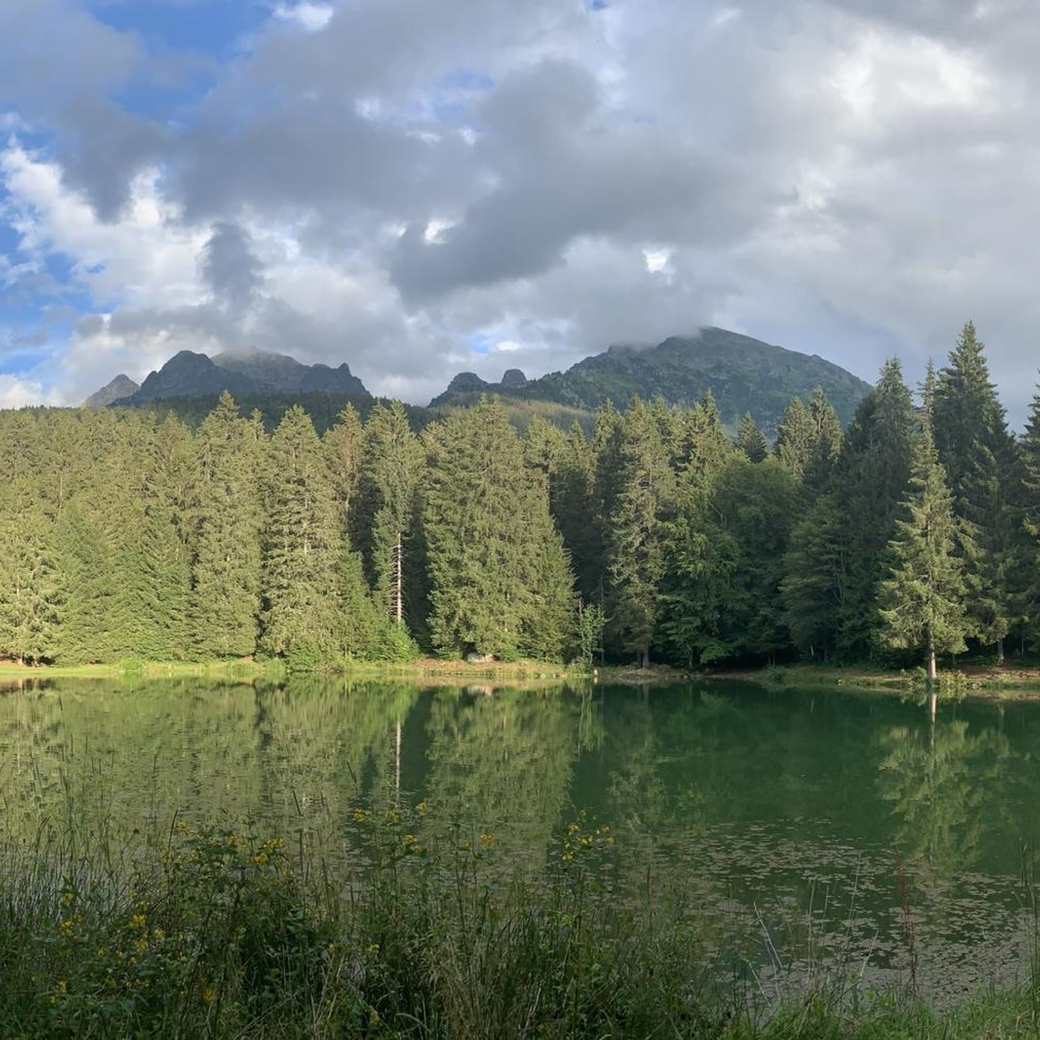
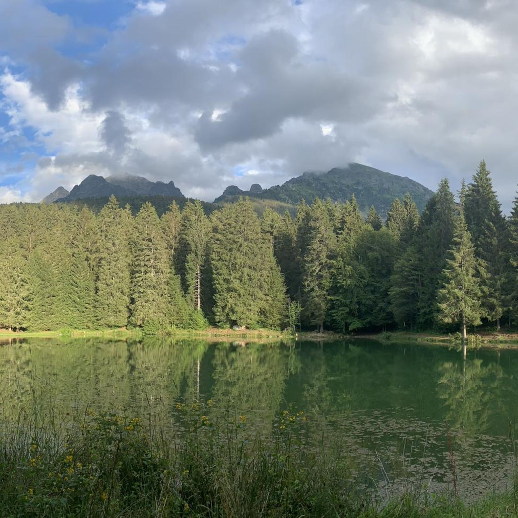
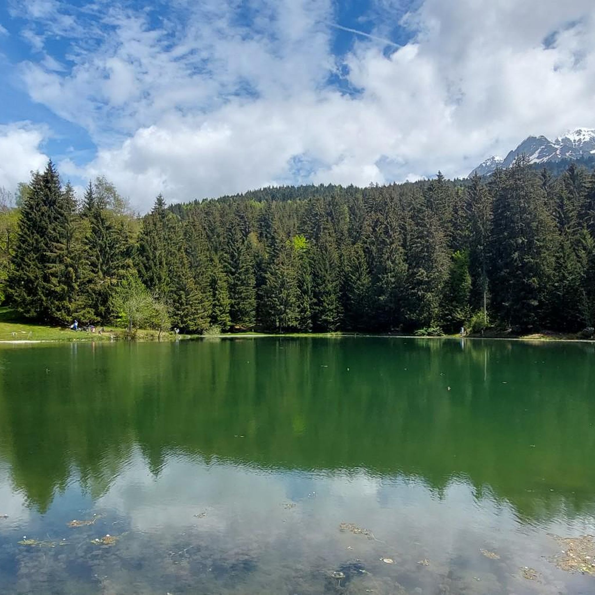
The running trails in Saint-Mury-Monteymond are rich in natural beauty. You can expect to encounter stunning mountainous terrain, dense forest paths, and open alpine meadows. Notable features include picturesque alpine lakes like Lake Achard and Lake Crozet, as well as impressive peaks such as La Croix de Chamrousse Summit and Dent de Crolles. Many routes also offer panoramic views of the Grésivaudan valley, Chartreuse, and Vercors massifs.
Are there any routes that feature waterfalls?
Yes, the region is home to beautiful waterfalls. A prominent example is the Cirque of the Boulon Waterfalls loop from Parking de Pré Long, a challenging 8.9-mile trail that leads directly to scenic waterfalls, providing a rewarding destination for your run.
Are the running trails in Saint-Mury-Monteymond suitable for families?
While many routes involve significant elevation, there are easier paths suitable for families looking for a gentle run or walk. The diverse terrain means you can find trails through woodlands and meadows that are less demanding, though specific family-friendly designations would depend on the route's difficulty and length. Always check the route details for elevation and distance.
Are dogs allowed on the running trails?
Generally, dogs are allowed on many trails in the region, but it's crucial to keep them on a leash, especially in protected natural areas. For instance, at Lac Achard, dogs must be kept on a leash to protect the site. Always check local regulations for specific trails or nature reserves before heading out with your dog.
What is the typical terrain and elevation gain like for running in this region?
The terrain around Saint-Mury-Monteymond is highly varied, ranging from 320 meters to 2600 meters in altitude, as it's situated on the western slopes of the Belledonne massif. Runners can expect a mix of shaded forest paths, open alpine meadows, and higher-altitude mineral landscapes. Many routes feature significant elevation gain, with difficult trails often exceeding 900 meters of ascent, such as the Gîte d'Alpage Le Pré du Molard – Col de la Sitre loop.
Where can I park when accessing these running trails?
Many trailheads in the Saint-Mury-Monteymond area offer designated parking. For example, the popular Cirque of the Boulon Waterfalls loop and the Gîte d'Alpage Le Pré du Molard – Col de la Sitre loop both start from Parking de Pré Long, indicating convenient access for drivers. It's always advisable to check the specific route details for parking information.
What do other runners say about the trails in Saint-Mury-Monteymond?
The running routes in Saint-Mury-Monteymond are highly rated by the komoot community, with an average score of 4.4 stars from over 130 reviews. More than 9,000 runners have used komoot to explore the varied terrain, often praising the stunning mountainous landscapes, diverse trails, and the rewarding views of the surrounding valleys and alpine lakes.
What is the best time of year to go running in Saint-Mury-Monteymond?
The best time for running largely depends on the specific route and your preference. Spring and autumn offer pleasant temperatures and vibrant scenery, ideal for most trails. Summer is excellent for higher-altitude routes, but be mindful of heat in lower valleys. Winter can be challenging due to snow and ice, especially on mountain passes, though some trails might be suitable for snowshoe running.
Are there options for longer, more challenging trail runs?
Absolutely. The region, being part of the Belledonne massif, is perfect for experienced trail runners seeking longer distances and significant elevation gain. Routes like the View of the Grésivaudan Valley loop from Villard-Bonnot, at 9.5 miles with over 600 meters of ascent, offer a challenging experience. The extensive network of trails provides ample opportunities for demanding runs across diverse mountain environments.
Are there any specific scenic viewpoints or hidden gems to discover?
Yes, the area is dotted with breathtaking viewpoints and natural wonders. The View of Chamrousse offers stunning vistas, and the Revollat Cross provides another excellent vantage point. High mountain passes like the Col de la Sitre also offer superb panoramas of the Chartreuse massif. Exploring the numerous alpine lakes, such as Lac Blanc with its emerald color, can also feel like discovering a hidden gem.
Most popular routes around Saint-Mury-Monteymond
Most popular attractions around Saint-Mury-Monteymond

Get inspired with the komoot mobile app


Explore more
Browse the best Running Trails & Routes in other regions.
