The best road cycling routes around Moyenmoutier
4.2
(271)
3,771
riders
174
rides
Road cycling around Moyenmoutier, nestled in the Vosges Mountains of northeastern France, offers diverse landscapes for cyclists. The region features undulating terrain with hills, dense forests, and winding ridges, providing varied elevation changes. Many routes utilize paved surfaces, including greenways built on old railway lines, ensuring smooth road cycling conditions. Recognized as a "Land of Cycling" by the French Cycling Federation, Moyenmoutier provides a network of routes suitable for various skill levels.
Best road cycling routes around Moyenmoutier
- The most…
Last updated: May 24, 2026
3.7
(3)
52
riders
55.7km
02:37
670m
670m
Moderate road ride. Good fitness required. Mostly well-paved surfaces and easy to ride.
21
riders
72.1km
03:55
1,430m
1,430m
Hard road ride. Very good fitness required. Mostly well-paved surfaces and easy to ride.

Sign up for free
19
riders
61.3km
03:06
840m
840m
Moderate road ride. Good fitness required. Mostly well-paved surfaces and easy to ride.
5.0
(2)
18
riders
32.0km
01:25
240m
240m
Easy road ride. Great for any fitness level. Mostly well-paved surfaces and easy to ride.
14
riders
56.4km
02:48
740m
740m
Moderate road ride. Good fitness required. Mostly well-paved surfaces and easy to ride.
Get access to more routes and recommendations from other explorers.
Sign up for free
Already have an account?
Our route recommendations are based on thousands of hikes, rides, and runs completed by other people on komoot.
Start today with a free account
Your next adventure awaits.
Login or Signup
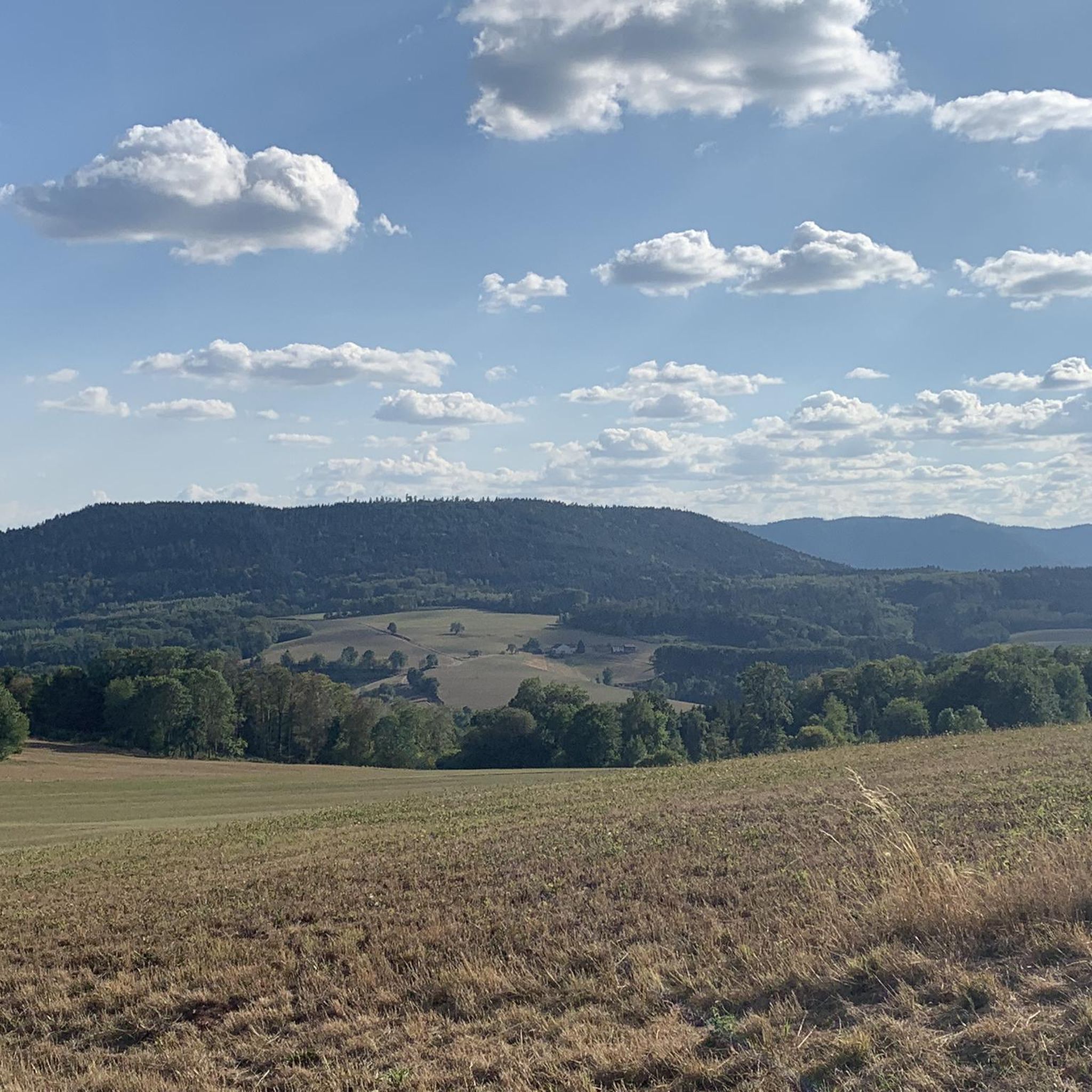
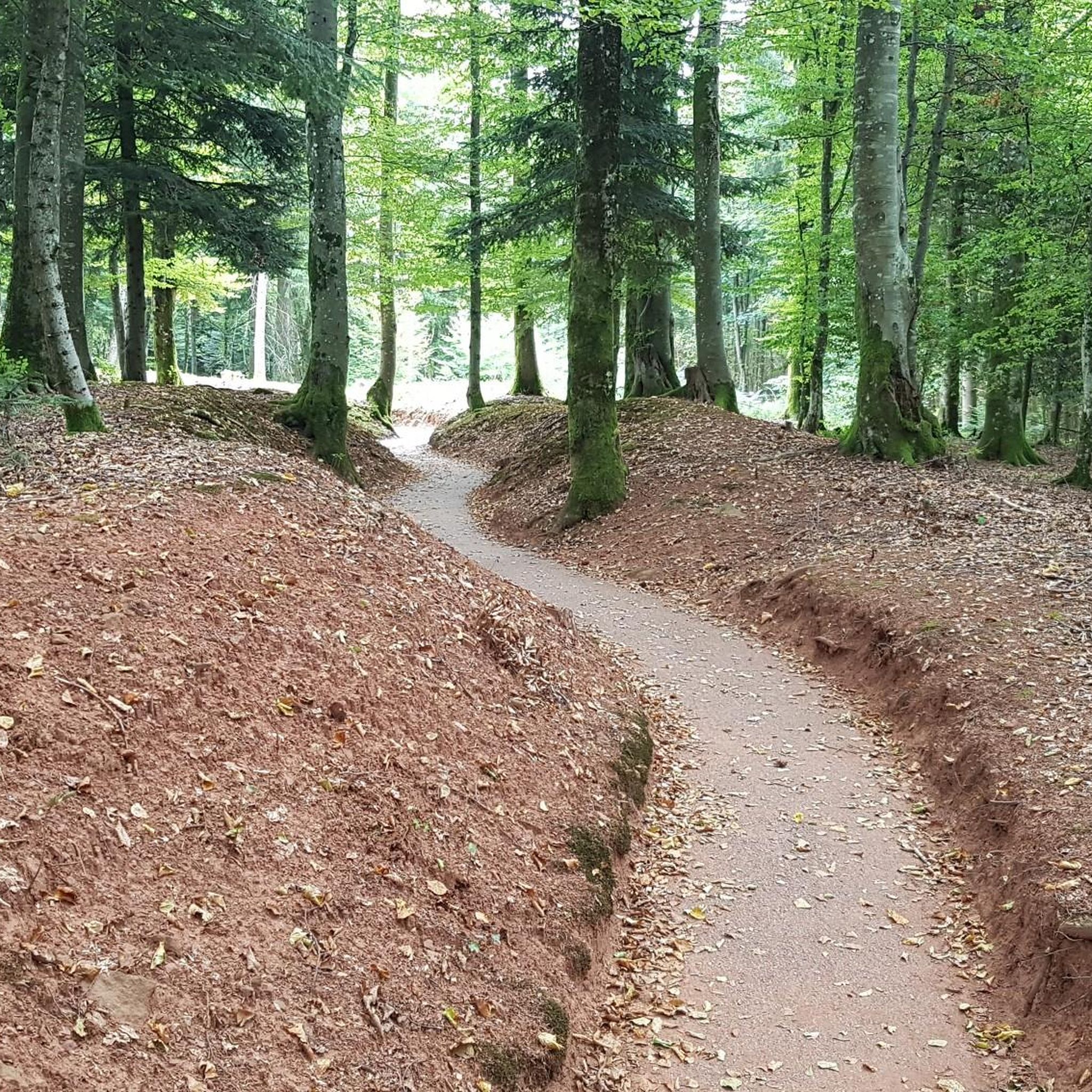
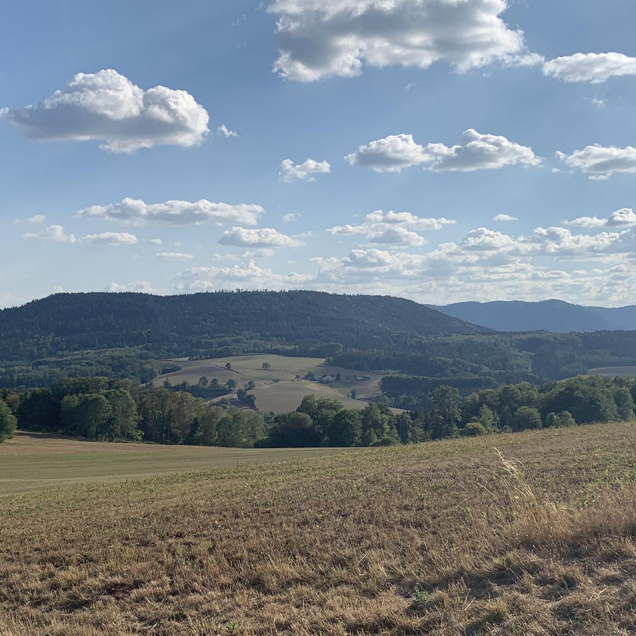
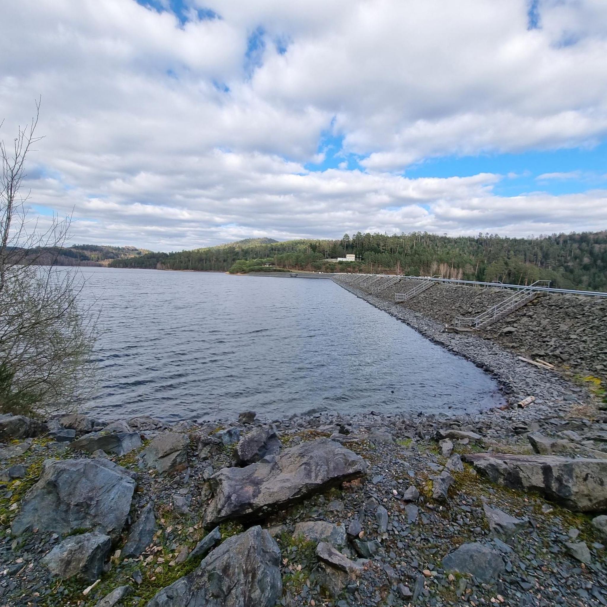

Tips from the Community

Beautiful route, pleasant but lots of bikers...
0
0

It is located on the left bank of the Meurthe, at number 14 rue Denfert-Rochereau. The Saint-Georges church is the church of La Neuveville-lès-Raon, which merged with Raon-l'Etape in 1947. It was built between 1835 and 1838 according to the plans of the district architect Boucher de Saint-Dié. The church was fitted out in 1894. In 1905 the dome was rebuilt. From 1973 to 1978, major restoration work was carried out, both interior and exterior. Inside, among other things, there is an old statue of Our Lady of Sorrows, a painting of Saint Nicholas, who is also the patron saint of wood-floaters, a painted wooden Christ, and a memorial chapel (1922).
0
0

yes up there you have a good view
1
0

Nestled in a verdant valley, Saint-Dié-des-Vosges is a charming Vosges town with a rich historical and cultural heritage. Blending conviviality, culture, history, and nature, it appeals to both heritage enthusiasts and lovers of wide-open spaces.
0
0

Magnificent pass to climb from different slopes (Breitenbach, Steige, Vallée de la Bruche, Andlau). It is also a crossing point towards the Champ du feu, the Hohwald, the Mont Ste Odile.
0
0

Pierre-Percée is a small mountain village in the east of the Meurthe-et-Moselle department, on the edge of the Vosges Mountains. With fewer than 100 inhabitants, it is one of the smallest communes in the region. Situated on the edge of the Plaine Valley, the village is built at the foot of the ruins of the medieval Château de Pierre-Percée, which once belonged to the Counts of Salm. The village's name refers to a 33-meter-deep well carved into the rock beneath the castle. During the Thirty Years' War, the village, like the castle, was largely destroyed. In the 20th century, Pierre-Percée regained significance with the construction of the EDF reservoir and the creation of a recreation area, which today attracts tourists for hiking, water sports, and nature experiences.
9
0


The Second Princes' Palace of Salm was built between 1773 and 1778 by Ludwig Karl Otto. After the prince's escape in 1793, it was converted into a cotton mill. After this period, the building fell into disrepair. It has now been restored and is used as a residential building.
0
0
Frequently Asked Questions
How many road cycling routes are available around Moyenmoutier?
There are over 175 road cycling routes around Moyenmoutier, catering to various skill levels. This includes 24 easy routes, 117 moderate routes, and 34 difficult routes, offering a wide range of options for exploration.
What kind of terrain can I expect when road cycling in Moyenmoutier?
Road cycling in Moyenmoutier, nestled in the Vosges Mountains, features diverse terrain. You'll encounter undulating hills, dense forests, and winding ridges with varied elevation changes. Many routes utilize paved surfaces, including greenways built on old railway lines, ensuring smooth cycling conditions. The region is known for its challenging mountain passes and scenic climbs.
Are there any easy road cycling routes suitable for beginners or families?
Yes, Moyenmoutier offers several easy road cycling routes. One notable option is the Liberty Tower – Saint-Dié Cathedral loop from Moyenmoutier. This 19.9-mile (32.0 km) trail leads through the local countryside with minimal elevation gain, making it a pleasant ride for those seeking a less strenuous experience.
Where can I find challenging road cycling routes with significant climbs?
For challenging rides, the Vosges Mountains provide numerous options. The Col de Steige – Champ du Feu loop from Étival-Clairefontaine is a difficult 66.9-mile (107.6 km) route with significant elevation gain through mountain passes. Another demanding option is the Champ du Feu – Col de Steige loop from Senones, covering 72.1 miles (116.0 km) with substantial climbing.
What scenic viewpoints or natural features can I see along the routes?
The region is rich in natural beauty. You can enjoy panoramic views from various points, and many routes pass by picturesque lakes. For instance, the Lac de la Plaine – La Plaine Lake loop from Étival-Clairefontaine offers scenic views around Lac de la Plaine. Other highlights include Raven Rock and the Vieux-Pré dam lookout point, offering extensive vistas.
Are there any historical or cultural attractions to explore while cycling?
Yes, you can incorporate visits to historical sites into your rides. The region features attractions like the La Bure Celtic Camp, a fortified plateau with rich archaeological history. You might also encounter the Trail of the Hamlets Fallen for France – La Fontenelle, offering a glimpse into the area's past.
Are there any circular road cycling routes around Moyenmoutier?
Many of the road cycling routes around Moyenmoutier are designed as loops, allowing you to start and finish in the same location. Examples include the Col de haute jaques loop from Étival-Clairefontaine and the Lac de la Plaine – La Plaine Lake loop from Étival-Clairefontaine, providing convenient circular journeys.
What do other road cyclists say about the routes in Moyenmoutier?
The road cycling routes in Moyenmoutier are highly rated by the komoot community, with an average score of 4.2 stars from over 250 reviews. Cyclists often praise the diverse landscapes, the mix of challenging climbs and serene lake-side rides, and the well-maintained paved surfaces, including dedicated greenways.
Is public transport available to access road cycling routes in Moyenmoutier?
While Moyenmoutier itself is a small town, the broader Vosges region has some public transport options. However, for direct access to specific road cycling routes, especially those starting from smaller villages or more remote areas, personal transport is generally more convenient. It's advisable to check local bus or train schedules for connections to larger towns like Saint-Dié-des-Vosges, from which you might cycle to route starting points.
What is the best time of year for road cycling in Moyenmoutier?
The best time for road cycling in Moyenmoutier is typically from spring through autumn (April to October). During these months, the weather is generally milder and more stable, making for pleasant riding conditions. Summer offers warmer temperatures, while spring and autumn provide beautiful scenery with blooming nature or vibrant fall foliage. Always check the local weather forecast before heading out, especially for mountain passes where conditions can change rapidly.
Are there any specific greenways or dedicated cycle paths in the area?
Yes, the Vosges region is known for its cycling infrastructure. The Voie Verte des Hautes Vosges (High Vosges Green Route) offers 53 km of multi-activity tracks, providing a safe and enjoyable environment for cyclists. Additionally, some road cycling routes in Moyenmoutier utilize greenways built on old railway lines, such as sections of the Greenway Along the Plaine Valley, ensuring smooth and traffic-free sections.
Most popular routes around Moyenmoutier
Most popular attractions around Moyenmoutier

Get inspired with the komoot mobile app


Explore more
Browse the best Road cycling routes in other regions.
