The best walks and hikes around Raon-L'Étape
4.6
(376)
1,990
hikers
30
hikes
Hiking around Raon-L'Étape offers diverse landscapes within the Vosges department, characterized by extensive forests, significant rock formations, and the confluence of the Meurthe and Plaine rivers. The region features varied terrain, from river valleys to mountainous areas, providing a range of elevation gains. Hikers can explore numerous well-maintained trails that traverse these natural features.
Best hiking trails around Raon-L'Étape
- The most popular hiking route is The Calling Stone – View from the Roches de Faucompierre loop from Raon-l'Étape, an 11.2 miles (18.0 km) trail that takes 5 hours 26 minutes to complete. This difficult route ascends through forest to prominent rock formations and viewpoints.
- Another top favourite among local hikers is View from the Roches de Faucompierre – Cup-marked Rock loop from Raon-l'Étape, a moderate 4.6 miles (7.4 km) path. This trail explores the area's unique rock formations, including a cup-marked rock, within a forested setting.
- Local hikers also love the View from the Roches de Faucompierre loop from Raon-l'Étape, a 4.1 miles (6.5 km) trail leading through dense woodlands and past notable rock outcrops, often completed in about 2 hours 5 minutes.
- Hiking around Raon-L'Étape is defined by spectacular rock formations, vast forests, and varied mountainous terrain. The network offers options for different ability levels, from easy strolls to challenging ascents.
- The routes in Raon-L'Étape are highly rated by the komoot community with an average score of 4.6 stars from over 200 reviews. More than 1000 hikers have used komoot to explore Raon-L'Étape's varied terrain.
Last updated: August 18, 2026
4.5
(4)
78
hikers
Hard hike. Very good fitness required. Easily-accessible paths. Suitable for all skill levels.
4.6
(23)
64
hikers
Moderate hike. Good fitness required. Easily-accessible paths. Suitable for all skill levels.

Sign up for free
4.8
(4)
30
hikers
Moderate hike. Good fitness required. Easily-accessible paths. Suitable for all skill levels.
5.0
(2)
20
hikers
9.35km
02:56
320m
320m
Moderate hike. Good fitness required. Mostly accessible paths. Sure-footedness required.
4.2
(5)
24
hikers
9.30km
02:43
250m
250m
Moderate hike. Good fitness required. Easily-accessible paths. Suitable for all skill levels.
Get access to more routes and recommendations from other explorers.
Sign up for free
Already have an account?
Our route recommendations are based on thousands of hikes, rides, and runs completed by other people on komoot.
Start today with a free account
Your next adventure awaits.
Login or Signup
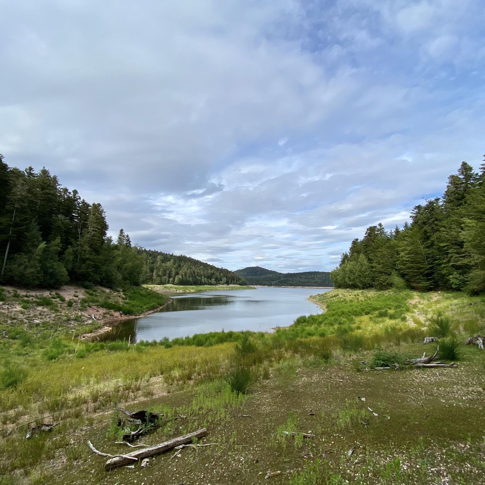
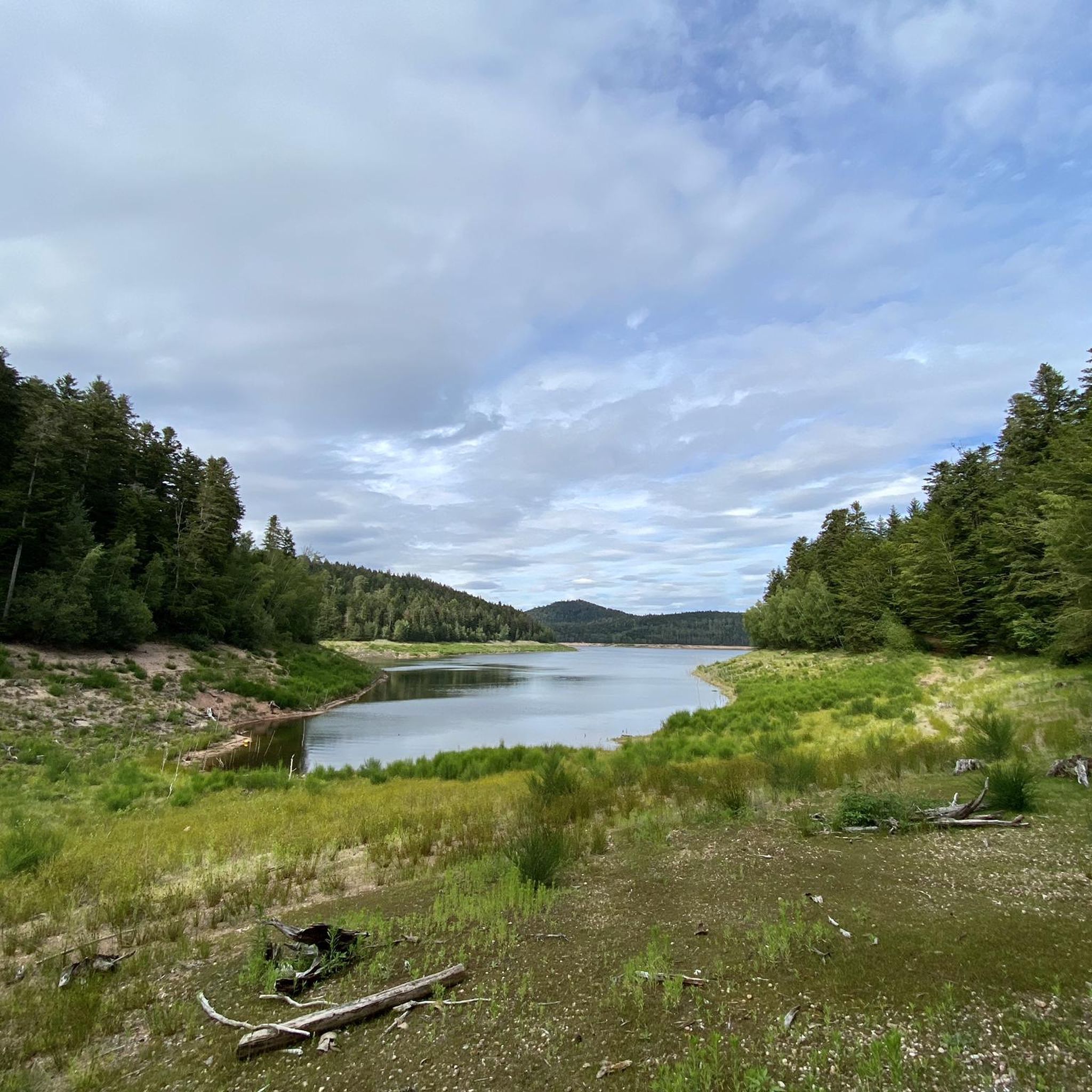
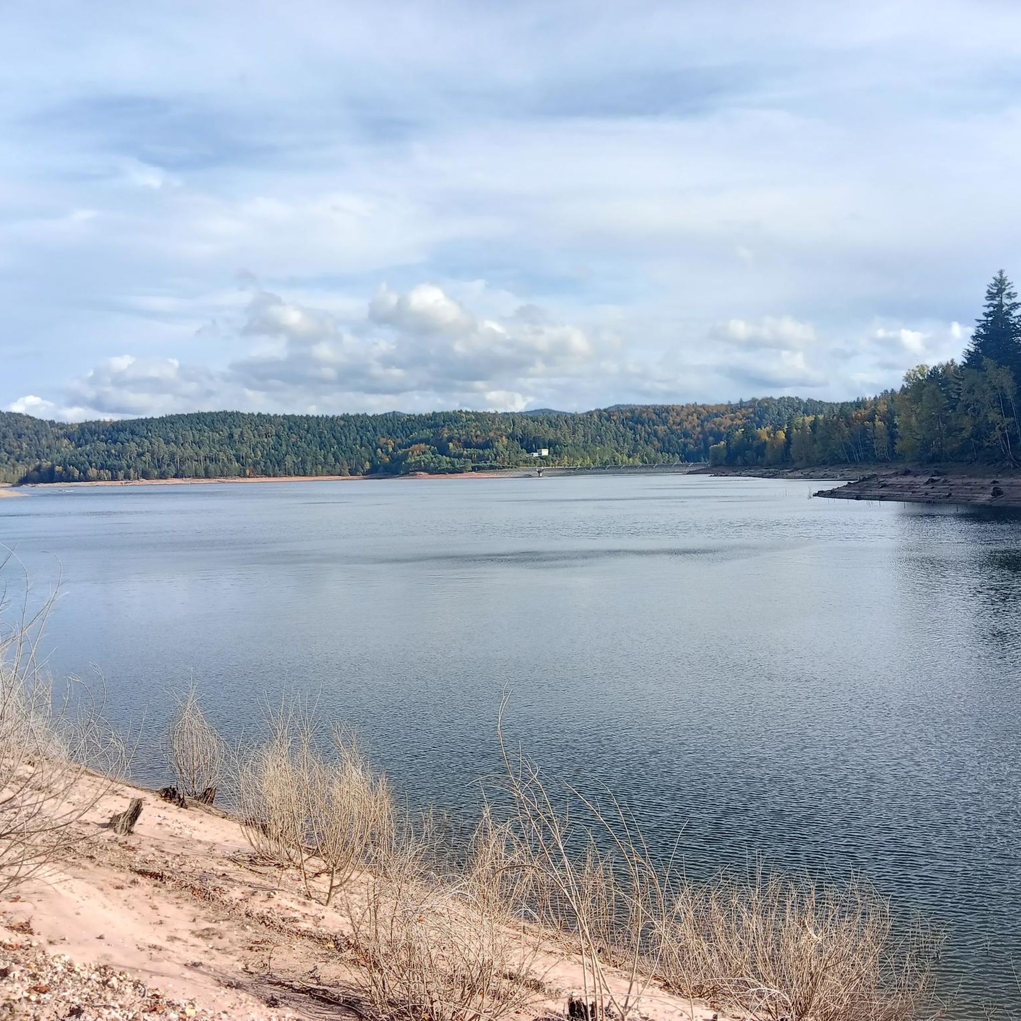
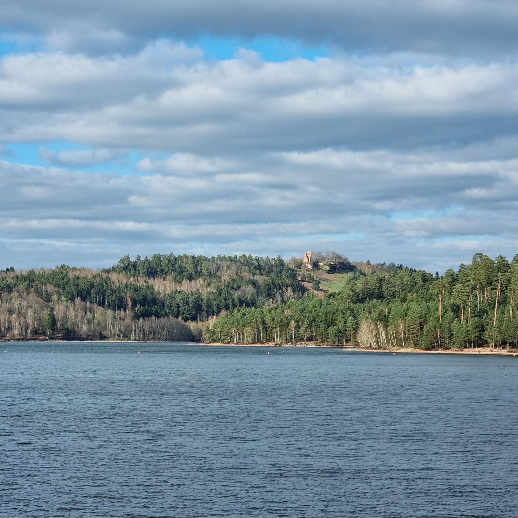

Tips from the Community

Very beautiful rock and viewpoint.
0
0

La Pierre d'Appel is located in the Côte de Repy, above Etival Clairefontaine and offers a view of both the Meurthe valley up to St Dié and the Rabodeau valley.
0
0

Tête de Répy is one of the many wooded peaks in the Madeleine massif. Well known to hikers, it offers beautiful views over the Meurthe valley and the Vosges mountains.
0
0
The Pierre d’Appel is a rock located on the Madeleine massif, above Saint-Dié-des-Vosges. It was once used as a gathering place and signal point, hence its name. This promontory offers a beautiful view over the Meurthe valley while being situated in a typical Vosges forest environment, peaceful and steeped in local traditions.
0
0


Emblematic rock of the Trouche massif. Possible to climb to its summit to enjoy the panorama of the valley.
0
0

Frequently Asked Questions
How many hiking trails are available around Raon-L'Étape?
There are over 20 hiking trails around Raon-L'Étape, offering a wide range of experiences. These routes traverse the diverse landscapes of the Vosges department, from river valleys to mountainous areas, with options for various fitness levels.
What kind of terrain can I expect on hikes near Raon-L'Étape?
Hiking around Raon-L'Étape features varied terrain, including extensive and often shaded forests, significant rock formations like the Rocher des Vannes and Rocher Cuny, and areas around the Meurthe and Plaine rivers. You'll find everything from gentle paths to routes with notable elevation gains as you explore the Vosges mountains.
Are there any easy hiking routes suitable for beginners or families?
Yes, Raon-L'Étape offers several easy hiking routes. There are 6 trails specifically categorized as easy, perfect for a relaxed stroll or a family outing. These routes allow you to enjoy the natural beauty without significant challenges.
Can I find circular hiking routes in the Raon-L'Étape area?
Many of the trails around Raon-L'Étape are designed as circular routes, allowing you to start and end at the same point. For example, the View from the Roches de Faucompierre loop from Raon-l'Étape is a moderate 4.1-mile (6.5 km) circular trail through dense woodlands and past notable rock outcrops.
What are some notable natural landmarks or viewpoints I can discover on the trails?
The region is rich in natural landmarks and viewpoints. You can explore impressive rock formations like the Rocher des Vannes, Rocher Cuny, and Rocher des Arcades. For panoramic views, consider trails leading to the Tête de Répy observatory or the Pierre d'Appel promontory. The Rambiroche is another popular viewpoint.
Are there any lakes or waterfalls to see while hiking?
Yes, the area around Raon-L'Étape features beautiful lakes and waterways. You can hike near Lake Pierre-Percée and Lac de la Plaine, which offer scenic walks. The region also boasts waterfalls, such as the Cascade de la Pissoire, adding to the picturesque landscape.
What do other hikers enjoy most about the trails in Raon-L'Étape?
The trails in Raon-L'Étape are highly rated by the komoot community, with an average score of 4.6 stars from over 200 reviews. Hikers frequently praise the well-marked paths maintained by the Club Vosgien, the stunning rock formations, and the diverse, often shaded forest environments that make for pleasant walking experiences.
Are there any historical sites accessible via hiking trails?
Yes, some routes intertwine with historical sites. A notable example is the La Bure Celtic Camp, a fortified plateau with a history dating back to the Neolithic period. You might also encounter remnants of First World War battlefields near Lac de Pierre Percée.
Is it possible to reach trailheads using public transport in Raon-L'Étape?
While Raon-L'Étape is well-connected, specific public transport options directly to all trailheads can vary. It's advisable to check local bus schedules or consider starting points within the town itself, as many popular routes, like the View from the Roches de Faucompierre – Cup-marked Rock loop from Raon-l'Étape, begin directly from Raon-l'Étape.
Where can I find parking for hiking trails around Raon-L'Étape?
Many trailheads around Raon-L'Étape offer designated parking areas, especially for popular routes. Given the extensive network of trails, you'll often find parking available near the starting points of the Club Vosgien marked paths. Specific parking details are usually available on individual route descriptions.
What is the best time of year to go hiking in Raon-L'Étape?
The diverse landscapes of Raon-L'Étape make it suitable for hiking across multiple seasons. Spring and autumn offer pleasant temperatures and vibrant foliage, while summer provides shaded forest paths. Even winter can be beautiful, though conditions may require appropriate gear, especially at higher elevations.
Are there any challenging hikes for experienced hikers?
Absolutely. For experienced hikers seeking a challenge, Raon-L'Étape offers routes with significant elevation gains. The The Calling Stone – View from the Roches de Faucompierre loop from Raon-l'Étape is a difficult 11.2-mile (18.0 km) trail that ascends through forests to prominent rock formations and viewpoints, taking over 5 hours to complete.
Most popular routes around Raon-L'Étape
Most popular attractions around Raon-L'Étape

Get inspired with the komoot mobile app


Explore more
Browse the best Hikes in other regions.
