The best road cycling routes around Miscon
4.7
(56)
1,962
riders
44
rides
Road cycling around Miscon offers diverse terrain within the Drôme department of the Auvergne-Rhône-Alpes region in France. The area is situated near the Diois region and the Vercors Regional Natural Park, characterized by dramatic natural landscapes. Cyclists encounter numerous mountain passes, deep gorges, and varied panoramas, including limestone cliffs and extensive forests. The region provides a range of road cycling routes, from challenging climbs to routes through valleys and plateaus.
Best road cycling routes around Miscon
- The most popular road…
Last updated: July 1, 2026
4.7
(13)
134
riders
38.5km
02:00
700m
700m
Moderate road ride. Good fitness required. Mostly well-paved surfaces and easy to ride.
4.6
(7)
71
riders
34.4km
01:50
660m
660m
Moderate road ride. Good fitness required. Mostly well-paved surfaces and easy to ride.

Sign up for free
21
riders
49.6km
02:35
900m
900m
Hard road ride. Very good fitness required. Mostly well-paved surfaces and easy to ride.
5.0
(2)
16
riders
23.4km
01:06
260m
260m
Easy road ride. Great for any fitness level. Mostly well-paved surfaces and easy to ride.
10
riders
29.0km
01:33
560m
560m
Moderate road ride. Good fitness required. Mostly well-paved surfaces and easy to ride.
Get access to more routes and recommendations from other explorers.
Sign up for free
Already have an account?
Our route recommendations are based on thousands of hikes, rides, and runs completed by other people on komoot.
Start today with a free account
Your next adventure awaits.
Login or Signup
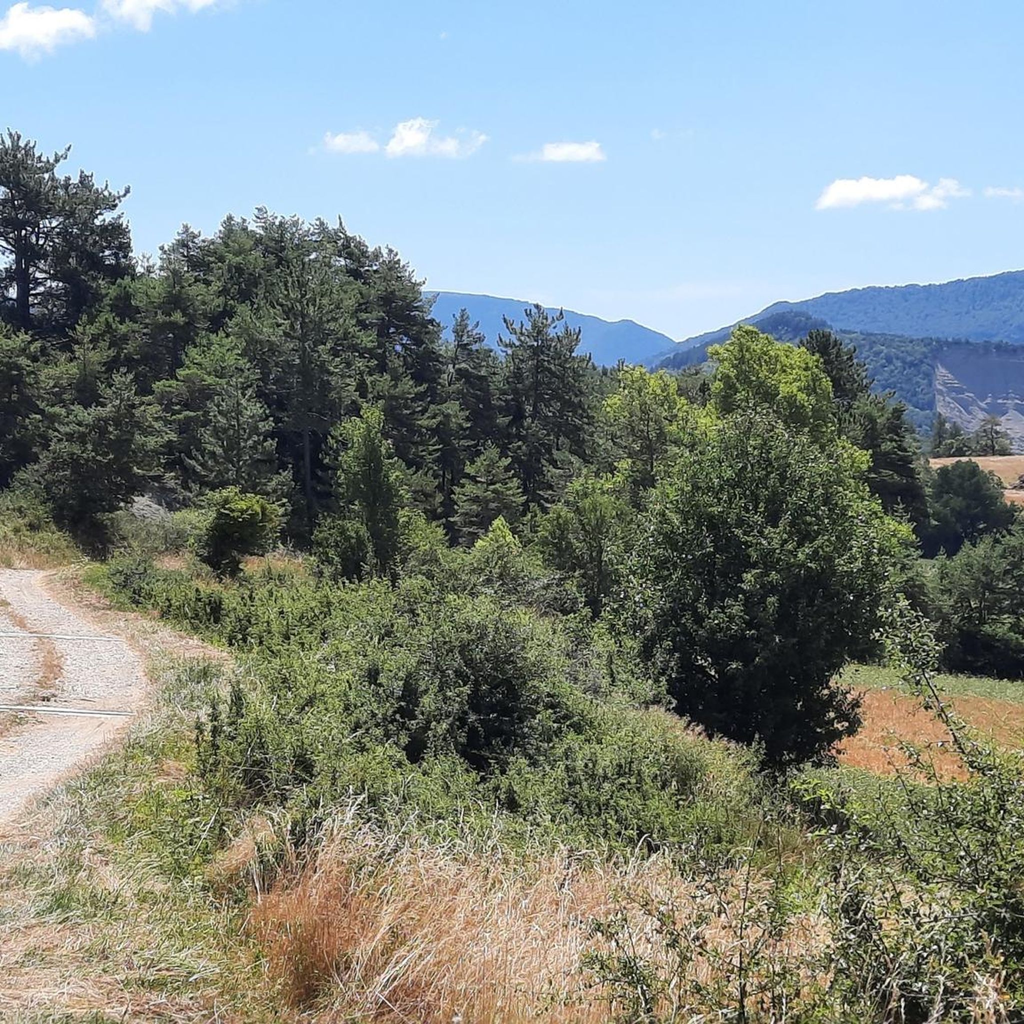
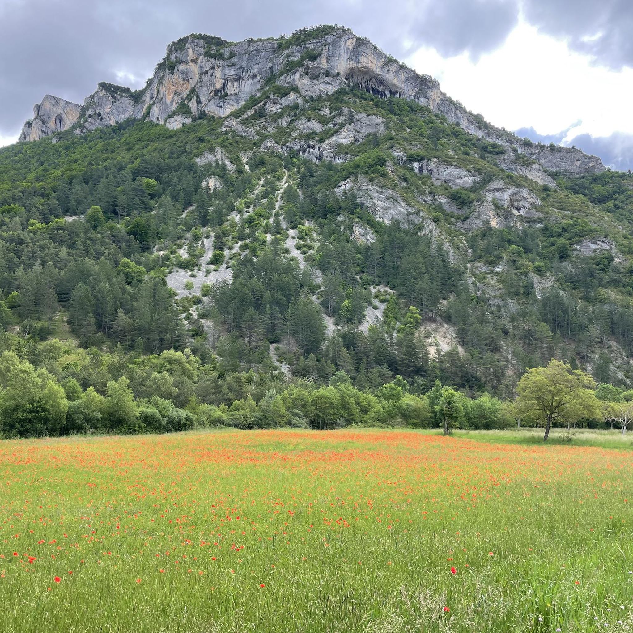
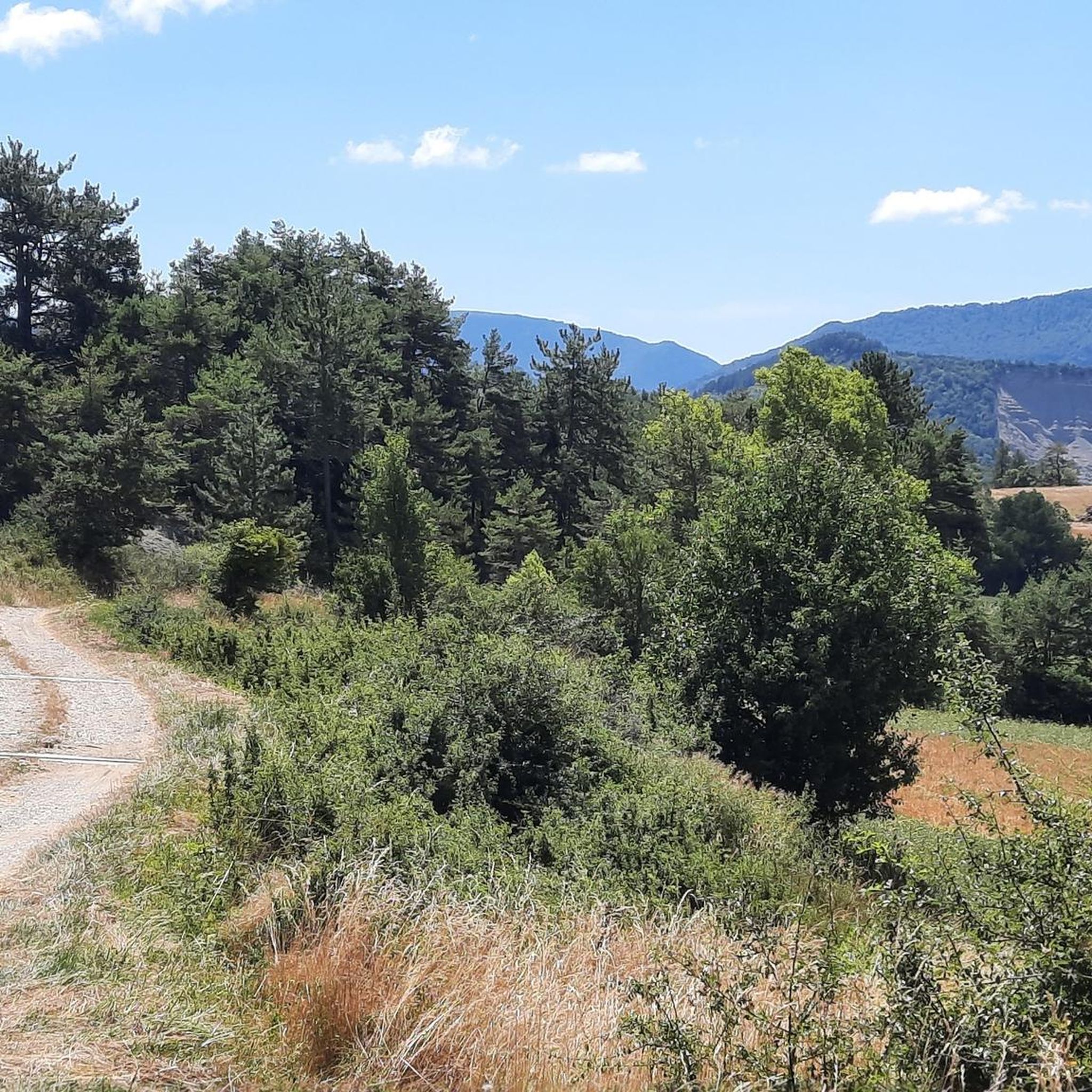
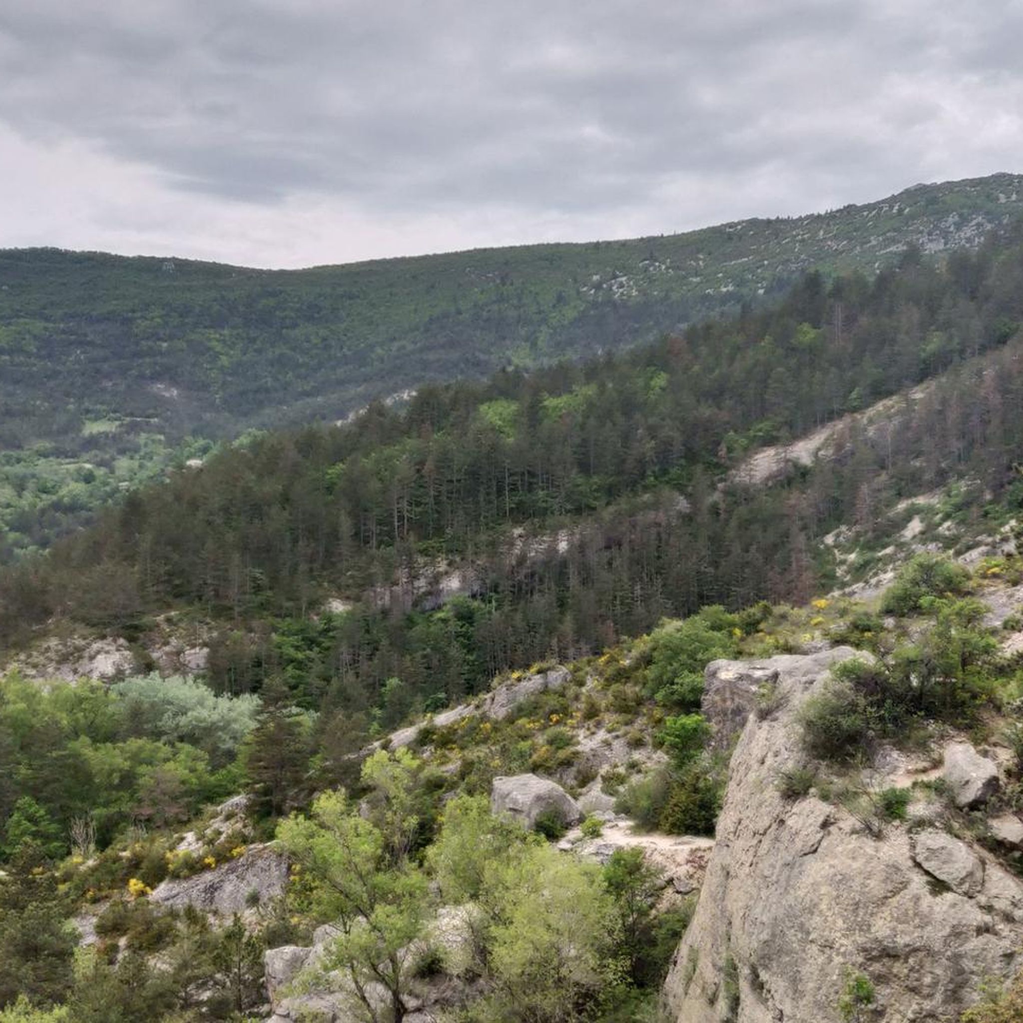

Tips from the Community

Feeling a little thirsty? Luckily, the fountain bar is here to help.
0
0

Magnificent historic city, plan a day to visit Bouligons a few kilometers away towards Valdrôme.
0
0
magnificent little walk to do
0
0

I regret not having taken the time to consult the signs of this major site.
0
0

On the edge of the Vercors plateaus, there are superb mountain roads that combine elevation and charming landscapes. The D 539 is one of them.
1
0

Major geological site, classified as a Sensitive Natural Area, to be seen from the road or by stopping to take a closer look.
0
0

It all began in 1442 when a foundation broke away from the southern flank of Pic de Luc. As it slid, it hit a limestone spur, divided, broke into enormous blocks and blocked the Drôme at two points... thus two lakes were formed: the Petit downstream and the Grand upstream. The “Grand Lac” is 5 km long and arouses envy because it is full of fish. In 1561 it thus became the property of the Carthusians of Durban, monks to whom meat was forbidden. It was only in 1804 that a huge block, the “dad”, was pierced to let the water flow at the location of the current Saut de la Drôme. This vast dry body of water now gives way to an agricultural plain (ruined Bouligons farm and its formerly cultivated terraces) and the Bouligons marsh, the last vestige of the disappeared lake. The need to avoid the Claps during the construction of the “Briançonnais” railway line at the beginning of the 20th century also gave the site a magnificent viaduct, 244 m long and 44 m high.
1
0
Frequently Asked Questions
What types of road cycling routes can I find around Miscon?
The Miscon area, nestled near the Diois region and the Vercors Regional Natural Park, offers a diverse range of road cycling routes. You'll find everything from moderate climbs through local landscapes to challenging, long-distance routes featuring significant elevation gains and numerous mountain passes. The terrain is characterized by dramatic natural landscapes, deep gorges, and varied panoramas, including limestone cliffs and extensive forests.
Are there road cycling routes suitable for beginners or those looking for an easier ride?
Yes, while the region is known for its challenging terrain, there are routes suitable for those seeking a more moderate experience. For example, the Col de Miscon from Luc-en-Diois is a moderate 23.9-mile (38.5 km) route with a steady ascent, offering a good introduction to the area's cycling. Another moderate option is the Col de Pennes – Luc-en-Diois loop from Luc-en-Diois, which covers about 21.4 miles (34.4 km).
What are some of the most challenging road cycling routes in the Miscon area?
For experienced cyclists seeking a challenge, Miscon offers several demanding routes. The Panoramic View of the Diois – Col de Rousset loop from Luc-en-Diois is a difficult 53.1-mile (85.4 km) path with significant elevation gain and expansive views. Another demanding option is the Col de la Croix – Die loop from Luc-en-Diois, a 78.4-mile (126.2 km) trail leading through mountain passes and valleys. The Prémol Pass – La Charce Castle loop from Luc-en-Diois is also a difficult route, covering nearly 31 miles (49.6 km).
When is the best time of year for road cycling in Miscon?
The region is best enjoyed for road cycling during the warmer months, typically from spring through autumn. This period offers favorable weather conditions for tackling the mountain passes and enjoying the scenic landscapes. Winter road biking can be challenging due to snow and ice, especially on higher passes like the Col de Rousset, which also functions as a ski resort.
Are there any circular road cycling routes available?
Yes, many of the routes around Miscon are designed as loops, allowing you to start and finish in the same location. Examples include the challenging Panoramic View of the Diois – Col de Rousset loop from Luc-en-Diois and the Col de la Croix – Die loop from Luc-en-Diois. There's also the moderate Col de Pennes – Luc-en-Diois loop from Luc-en-Diois.
What kind of scenic views and natural features can I expect along the routes?
Road cycling around Miscon offers breathtaking scenery. You'll encounter varied panoramas of the Vercors massif reliefs, deep gorges like the Gorges de la Bourne, and dramatic balcony roads such as the Cirque de Combe Laval. The landscape includes contrasts between steep-sided valleys, plateaus, and mountains, with picturesque scenes of lavender fields, vineyards, and walnut orchards, especially in the Diois and Drôme Provençale areas. The Col de Rousset, for instance, provides sweeping views of the Diois countryside.
What are some notable landmarks or attractions to see near the cycling routes?
Beyond the natural beauty, the area offers interesting landmarks. Near Luc-en-Diois, you can explore Saut de la Drôme and the Claps, a dramatic site of a spectacular rockfall. The charming village of Châtillon-en-Diois, recognized among 'Les Plus Beaux Villages de France,' features medieval facades and vineyards. You might also encounter the impressive Gorges des Gâts.
How many road cycling routes are available in the Miscon region?
There are over 40 road cycling routes available around Miscon, catering to various skill levels. These include 12 easy routes, 18 moderate routes, and 10 difficult routes, ensuring options for every cyclist.
What do other road cyclists say about the routes in Miscon?
The road cycling routes in Miscon are highly regarded by the komoot community, holding an impressive average rating of 4.6 stars from over 90 reviews. Cyclists often praise the challenging mountain passes, the deep gorges, and the scenic valleys that define the region's diverse terrain.
Can I reach the road cycling routes around Miscon using public transport?
While the region is primarily accessed by car, some larger towns in the Diois area may have limited public transport connections. However, for direct access to specific trailheads around Miscon and the flexibility to explore the more remote mountain passes, personal transport is generally recommended. For more detailed information on cycle touring in the broader Diois area, you can visit diois-tourisme.com.
Are there specific mountain passes (cols) that are popular among cyclists in this region?
Absolutely. The region is famous for its numerous 'cols,' with over 30 recognized passes in the Diois alone. The Col de Rousset is particularly popular, reaching an elevation of 1,254 meters and offering varied panoramas. Other well-known passes include the Col de la Machine and Pas de l'Essaure, known for their thrilling challenges and picturesque surroundings.
Most popular attractions around Miscon

Get inspired with the komoot mobile app


Explore more
Browse the best Road cycling routes in other regions.
