The best road cycling routes around Goncelin
4.5
(303)
7,100
riders
24
rides
Road cycling routes around Goncelin traverse a landscape characterized by the foothills of the Chartreuse Massif, offering a mix of valley roads and mountain passes. The region features significant elevation changes, with routes often including climbs to cols and descents through forested areas. Riders can expect varied terrain, from winding roads alongside rivers to challenging ascents with panoramic views.
Best road cycling routes around Goncelin
- The most popular road cycling route is Croix de Pinet – Col des Mouilles loop…
Last updated: May 20, 2026
4.5
(12)
161
riders
46.5km
02:38
990m
990m
Hard road ride. Very good fitness required. Mostly well-paved surfaces and easy to ride.
4.8
(32)
332
riders
56.0km
03:25
1,390m
1,390m
Hard road ride. Very good fitness required. Mostly well-paved surfaces and easy to ride.

Sign up for free
4.4
(5)
143
riders
66.6km
03:27
1,070m
1,070m
Hard road ride. Very good fitness required. Mostly well-paved surfaces and easy to ride.
3.7
(3)
77
riders
95.6km
05:50
2,470m
2,470m
Hard road ride. Very good fitness required. Mostly well-paved surfaces and easy to ride.
5.0
(4)
115
riders
92.5km
03:52
510m
510m
Moderate road ride. Good fitness required. Mostly well-paved surfaces and easy to ride.
Get access to more routes and recommendations from other explorers.
Sign up for free
Already have an account?
Our route recommendations are based on thousands of hikes, rides, and runs completed by other people on komoot.
Start today with a free account
Your next adventure awaits.
Login or Signup
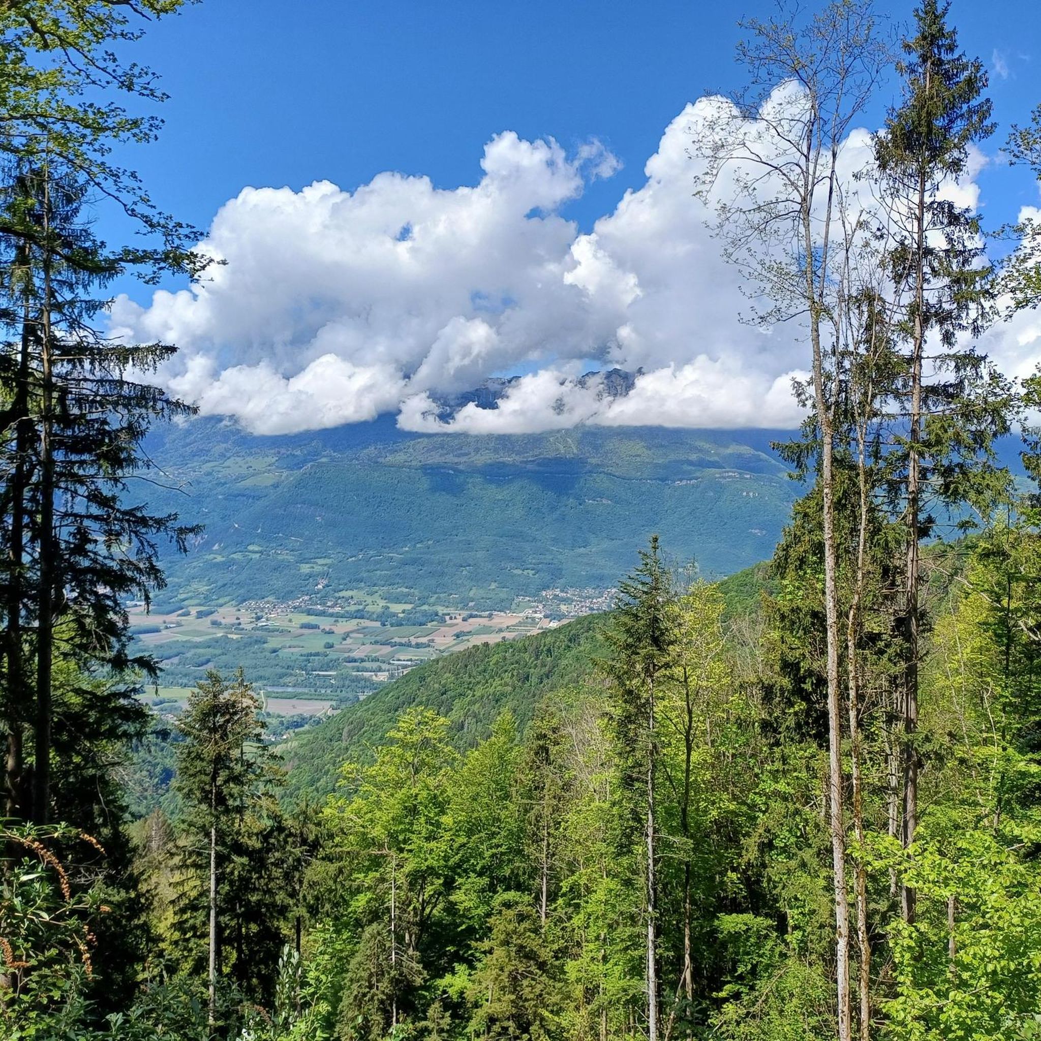
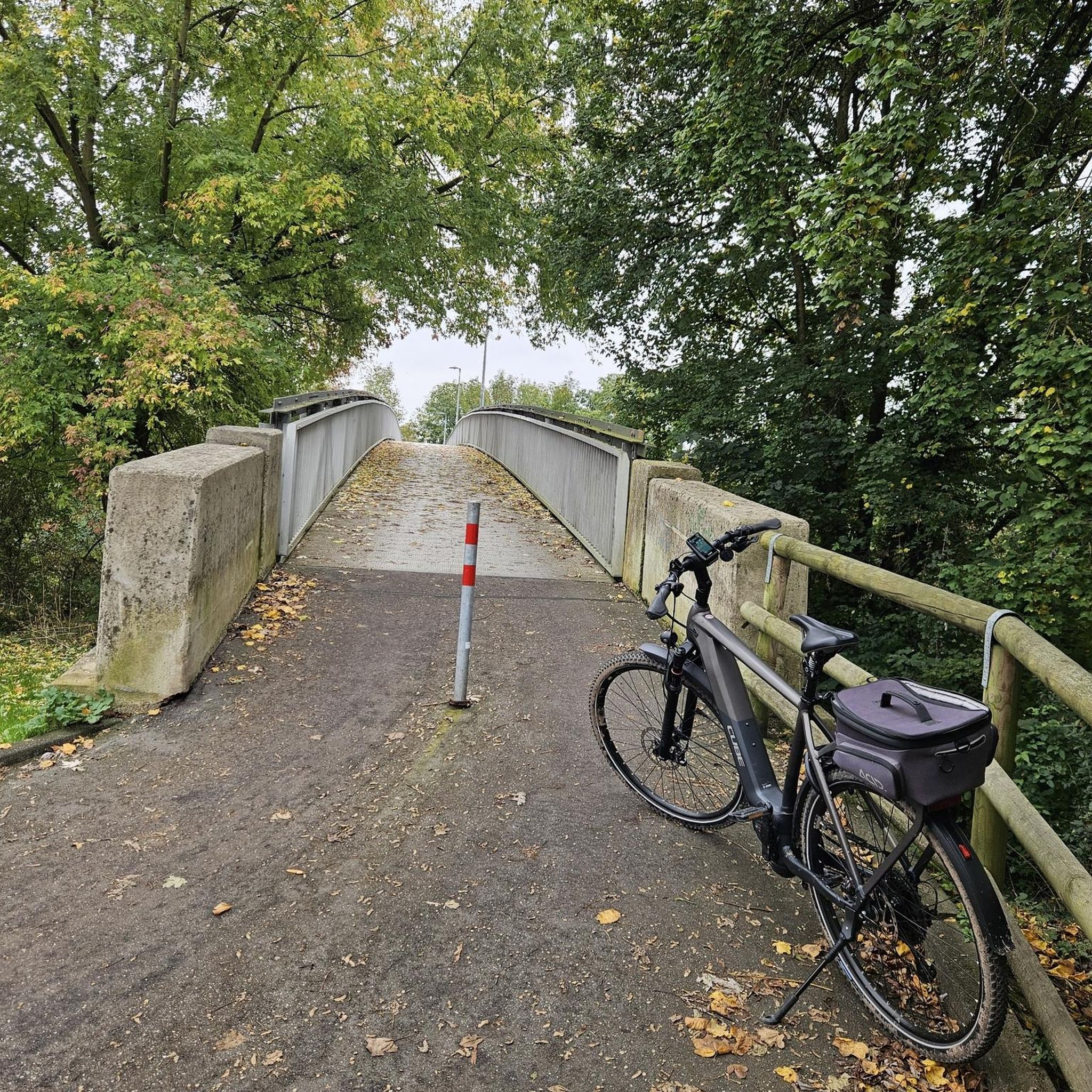


Tips from the Community

I love this village. It's an ideal starting point for a hike to the Cirque de Saint-Même.
0
0

quiet route, away from the main road
0
0
strange monument erected in honor of Mr. Ernest Doudart, who distinguished himself in Indochina
0
0

Beautiful surroundings and a wonderful place to start this (and other) hikes. Les Ateliers du Cucheron is a fantastic hotel/gite with very friendly staff. I'll definitely be back to discover more hikes.
0
0

Warning: The climb from the east side is extremely steep! An average gradient of around 10% over 9-10 km.
1
0

From Saint Laurent du Pont, a demanding 14km climb, with many sections at over 10%. It is divided into three parts: 9km of irregular ascent (6 to 11.5% /100m) to the junction for the Chartreuse Monastery. Then 2km of flat terrain to the foot of St Pierre de Chartreuse and finally a very steep climb (several sections at +12% /100m) to the Col de Cucheron. A pass not to be underestimated! 25 degrees at St Laurent = 15 degrees at the top of the pass and its very shaded slopes. Dress accordingly.
2
0
Frequently Asked Questions
How many road cycling routes are available around Goncelin?
There are over 25 road cycling routes around Goncelin, offering a variety of experiences through the foothills of the Chartreuse Massif. These routes are highly rated by the komoot community, with an average score of 4.5 stars.
What kind of difficulty can I expect on road cycling routes near Goncelin?
The routes around Goncelin are primarily moderate to difficult, reflecting the region's mountainous terrain. You'll find 15 moderate and 11 difficult routes, often featuring significant elevation changes and mountain passes. Riders should be prepared for climbs and descents.
Are there any road cycling routes suitable for beginners around Goncelin?
While many routes feature significant climbs, some moderate options are available that might be more suitable for those newer to road cycling or looking for a less strenuous ride. These routes often follow valley roads, offering a gentler experience compared to the mountain passes.
What are some popular loop routes for road cycling in the Goncelin area?
Many road cycling routes around Goncelin are designed as loops, allowing you to start and finish in the same location. A popular moderate option is the Roadbike loop from Goncelin, which covers 39.4 miles (63.4 km) through the local countryside.
What is the best season for road biking around Goncelin?
The best season for road biking around Goncelin is typically from spring to autumn. During these months, the weather is generally milder, and mountain passes are clear of snow. Summer offers warm conditions, while spring and autumn provide pleasant temperatures and beautiful scenery.
Are there any scenic viewpoints or natural attractions along the road cycling routes?
Yes, the region offers numerous scenic viewpoints, particularly on routes that ascend into the Chartreuse Massif. You can also find natural attractions such as waterfalls nearby. Consider exploring the Saint-Même Cirque Waterfalls or the The Alloix Waterfalls for stunning natural beauty.
Can I find places to eat or cafes along the road cycling routes near Goncelin?
Many villages and towns along the routes, especially in the valleys or at the base of climbs, offer cafes and restaurants where you can refuel. While specific cafes aren't listed for every route, planning your stops in larger settlements is advisable for refreshments.
What are the parking options for road cyclists in Goncelin?
Goncelin and surrounding towns typically offer public parking areas where you can leave your vehicle. It's recommended to check local signage for any restrictions or fees. Starting points for many routes are easily accessible from these parking spots.
Are there any less crowded road cycling routes around Goncelin?
While popular routes can see more traffic, exploring some of the lesser-known moderate routes or riding during off-peak hours (early mornings or weekdays) can offer a more tranquil experience. The vast network of roads in the Chartreuse foothills provides opportunities to discover quieter paths.
What do other road cyclists enjoy most about road cycling in Goncelin?
The komoot community highly rates road cycling in Goncelin, with an average score of 4.5 stars from over 150 reviews. Riders often praise the challenging mountain passes, the diverse scenery ranging from valley roads to forested ascents, and the panoramic views of the Chartreuse Massif.
Are there any historical landmarks or points of interest to explore near the routes?
Yes, the region has historical significance. For instance, the Chartreuse – Fort Barraux loop from Goncelin passes near Fort Barraux, a historic fortress. Exploring the local villages also offers glimpses into the area's heritage.
How long do road cycling routes around Goncelin typically take to complete?
The duration of road cycling routes around Goncelin varies significantly based on distance, elevation, and your cycling pace. Routes can range from moderate rides taking around 3 hours, like the Roadbike loop from Goncelin (approx. 2 hours 56 minutes), to more challenging ones that can take over 4 hours, such as the Croix de Pinet – Col des Mouilles loop from Goncelin (approx. 4 hours 37 minutes).
Most popular routes around Goncelin
Most popular attractions around Goncelin

Get inspired with the komoot mobile app


Explore more
Browse the best Road cycling routes in other regions.
