The best mountain hikes around Pinsot
4.2
(16)
139
hikers
15
hikes
Mountaineering routes around Pinsot are characterized by significant elevation changes and diverse alpine terrain within the French Alps. The region features prominent peaks, high-altitude lakes, and challenging ascents, offering a true mountain experience. Valleys and forested sections often lead to more exposed, rocky ridges and summits.
Best mountaineering routes around Pinsot
- The most popular mountaineering route is Crêt Luisard (1,803 m) – Crêt du Luisard - 1803m loop from Le Grand Plan, a 6.8 miles (11.0 km) trail that…
Last updated: May 20, 2026
4.0
(4)
18
hikers
10.8km
03:43
570m
570m
Moderate mountaineering route. Good fitness required. Easily-accessible paths. Suitable for all skill levels.
17
hikers
11.0km
06:48
1,220m
1,220m
Hard mountaineering route. Very good fitness required. Sure-footedness, sturdy shoes and alpine experience required.

Sign up for free
17
hikers
8.01km
03:09
590m
590m
Moderate mountaineering route. Good fitness required. Mostly accessible paths. Sure-footedness required.
4.0
(3)
16
hikers
11.5km
05:39
930m
930m
Hard mountaineering route. Very good fitness required. Mostly accessible paths. Sure-footedness required.
15
hikers
19.4km
11:25
1,790m
1,790m
Hard mountaineering route. Very good fitness required. Sure-footedness, sturdy shoes and alpine experience required.
Get access to more routes and recommendations from other explorers.
Sign up for free
Already have an account?
Our route recommendations are based on thousands of hikes, rides, and runs completed by other people on komoot.
Start today with a free account
Your next adventure awaits.
Login or Signup
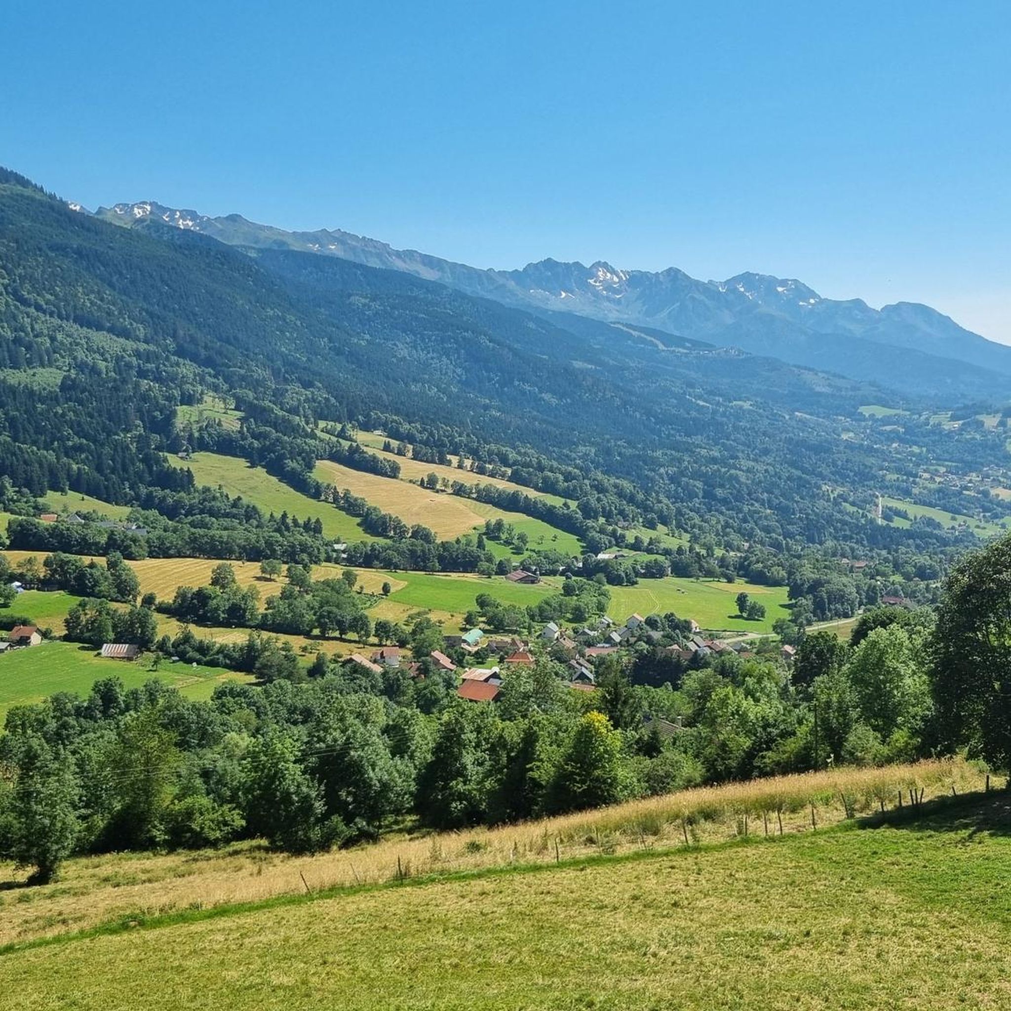
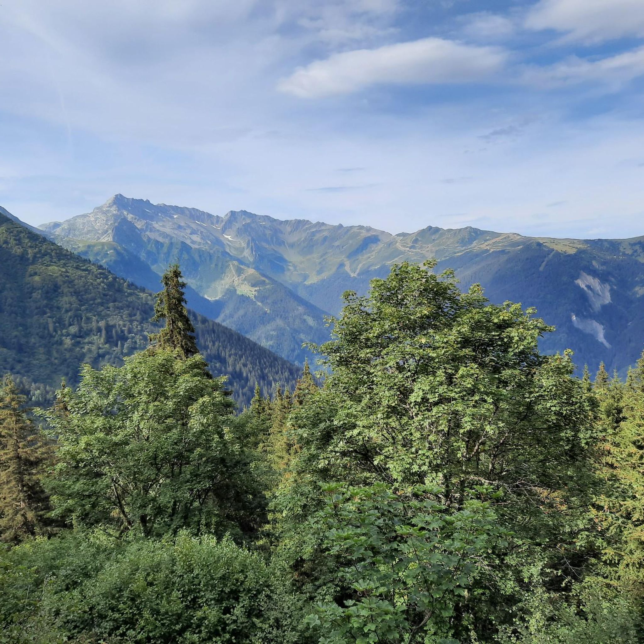
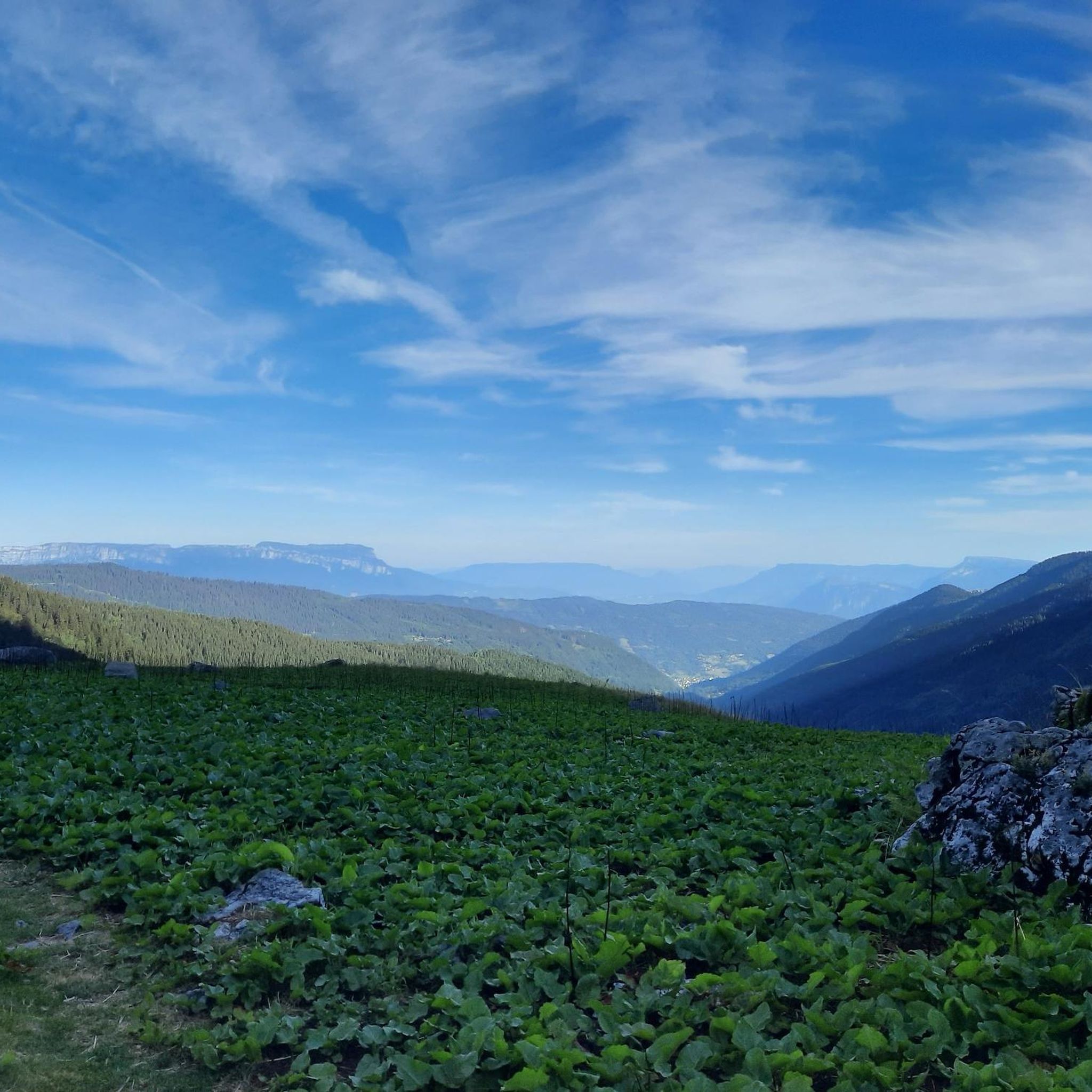
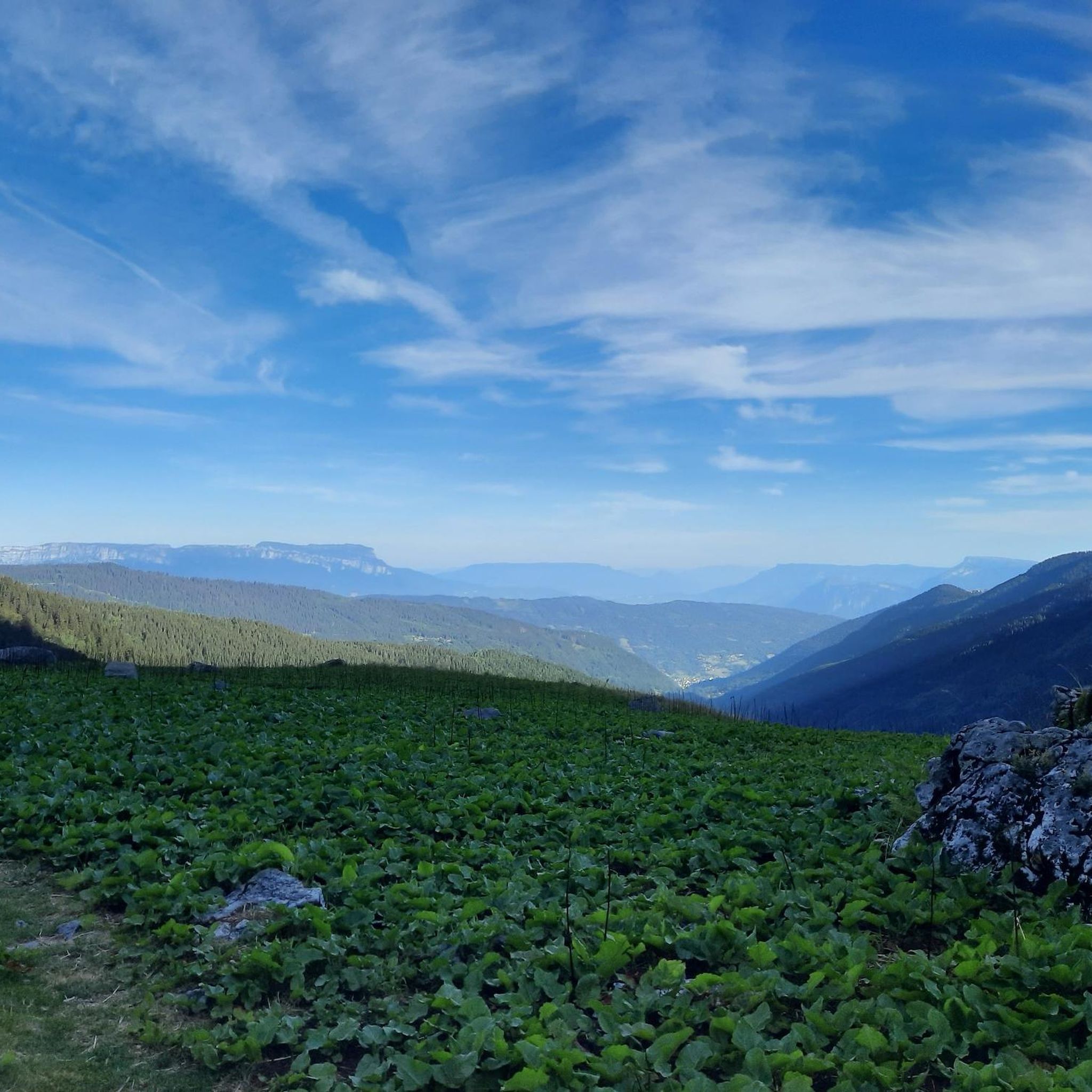
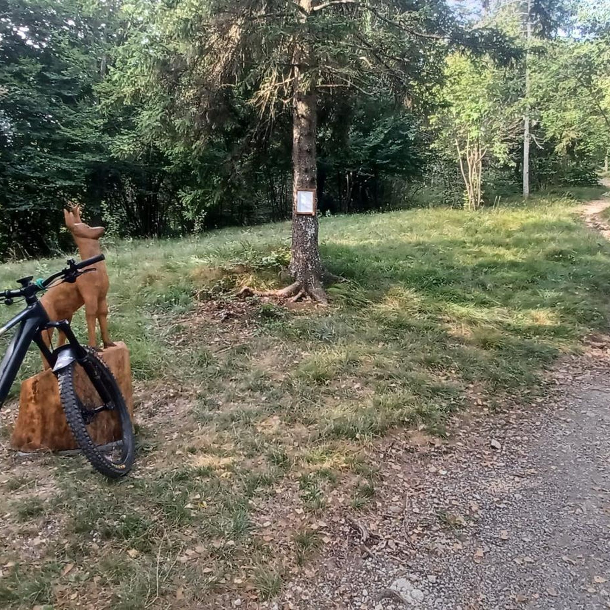
Tips from the Community

Fabulous summit that should be climbed with caution depending on the season and snow conditions (mid-2025, still a lot of snow from the Lac de Belle Etoile). Incredible view, I recommend it. Intended for those used to hiking on T3 trails. It climbs with your hands on the Mac de l'Étoile side.
1
1

Done in ski touring, be careful ⚠️ just in case of hard snow the final slopes are a little steep.
0
0

Magnificent 360° view of the North Belledonne massifs, the Grésivaudan valley overlooked by the long cliff of Chartreuse, the Bauges and the foot of Bugey behind the lake of the same name...
0
0
The arrival at the refuge, after a very pleasant climb through the forest to the sound of the torrent, opens onto a landscape which announces the continuation of the hike: we pass to the alpine level with its mountain pastures and its scree. The view at sunset must be magnificent!
0
0
And also and especially in good weather on Mont Blanc my dear Chloé 🤪
0
0

This alpine gîte is perched at an altitude of 1,784 meters on the Belledonne massif. It accommodates in dormitory up to 22 people and offers small dishes to eat. Remember to book in advance on the refuge website: http://www.combemadame.com/
0
1

Here, you can enjoy a 360° panorama of all the surrounding mountains: Belledonne, Vercors, Chartreuse, Bauges, and even Mont Blanc on a clear day! An orientation table makes it possible to identify the surrounding peaks.
0
0
This passage at 1,868 meters above sea level offers pretty views of the peaks of the Grands Moulins (2,498 meters) and the Grand Miceau (2,631 meters) in particular. 400 meters separate you here from the summit of Grand Collet.
0
0
Frequently Asked Questions
What are the typical difficulty levels for mountaineering routes around Pinsot?
The mountaineering routes in Pinsot primarily range from moderate to difficult. There are 6 moderate routes and 9 difficult routes available, offering challenges for various experience levels.
What is the average length and duration of mountaineering routes in Pinsot?
Mountaineering routes around Pinsot vary in length and duration. For instance, the Crêt Luisard (1,803 m) – Crêt du Luisard - 1803m loop from Le Grand Plan is about 6.8 miles (11 km) and takes nearly 4 hours, while more challenging routes like the Refuge de la Combe Madame – Le Rocher Blanc loop from La Ferrière can extend to 12.1 miles (19.4 km) and require over 11 hours to complete.
Are there any easier mountaineering routes suitable for beginners around Pinsot?
While true mountaineering routes inherently involve significant challenges, there are moderate options that might be more accessible for those with some experience. Consider the Lac du Collet – Les Plagnes loop from Le Collet d'Allevard, which is rated moderate and covers 5.2 miles (8.4 km) with an elevation gain of around 600 meters.
Where can experienced mountaineers find challenging routes near Pinsot?
Experienced mountaineers will find plenty of challenging options. The Les Grands Moulins – Grande Montagne d'Arvillard loop from Parking de Val Pelouse is a difficult route spanning 7.4 miles (12 km) with nearly 1000 meters of elevation gain, offering a substantial test of endurance and skill.
What is the best season for mountaineering in Pinsot?
The best season for mountaineering in Pinsot is typically from late spring to early autumn (June to September) when snow has largely melted from higher elevations and weather conditions are more stable. Always check local weather forecasts and trail conditions before heading out, as alpine weather can change rapidly.
Are there any circular mountaineering routes in the Pinsot area?
Yes, many of the mountaineering routes around Pinsot are designed as circular loops, allowing you to start and finish at the same point. Examples include the Peak of the Beautiful Star loop from Le Pleynet and the Crêt Luisard (1,803 m) – Crêt du Luisard - 1803m loop from Le Grand Plan.
What kind of scenic viewpoints can I expect along the mountaineering routes in Pinsot?
Mountaineering routes in Pinsot offer breathtaking scenic viewpoints, often featuring panoramic vistas of the French Alps. You can expect views of prominent peaks like The Grand Rock and Crêt Luisard, as well as distant views of Mont-Blanc from certain high points.
What do other mountaineers enjoy most about the routes in Pinsot?
The mountaineering routes in Pinsot are highly rated by the komoot community, with an average score of 4.1 stars. Reviewers often praise the challenging ascents, the stunning alpine scenery, and the sense of accomplishment gained from reaching prominent summits and high mountain passes.
Are there any notable mountain passes or peaks to explore around Pinsot?
Absolutely. The region is rich with significant mountain features. You can explore iconic passes such as Col de la Croix de Fer and Col du Glandon. For peaks, highlights include Crêt du Poulet and Croix du Léat, offering rewarding summit experiences.
Is parking generally available at the trailheads for mountaineering routes in Pinsot?
Yes, parking is typically available at the designated starting points for many mountaineering routes around Pinsot, often near villages or mountain refuges. However, spaces can be limited, especially during peak season, so it's advisable to arrive early.
Are permits required for mountaineering in the Pinsot area?
Generally, no specific permits are required for mountaineering on established routes in the Pinsot area of the French Alps. However, if you plan to stay overnight in a mountain refuge, booking in advance is usually necessary. Always check for any specific local regulations or protected area requirements before your trip.
Most popular attractions around Pinsot

Get inspired with the komoot mobile app


Explore more
Browse the best Mountain Hikes & Routes in other regions.
