The best running trails around Beaumont-En-Diois
3.5
(8)
145
runners
15
runs
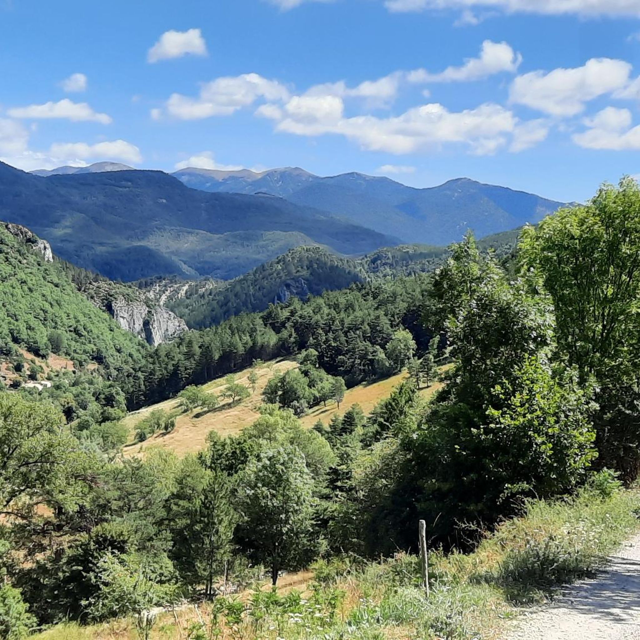
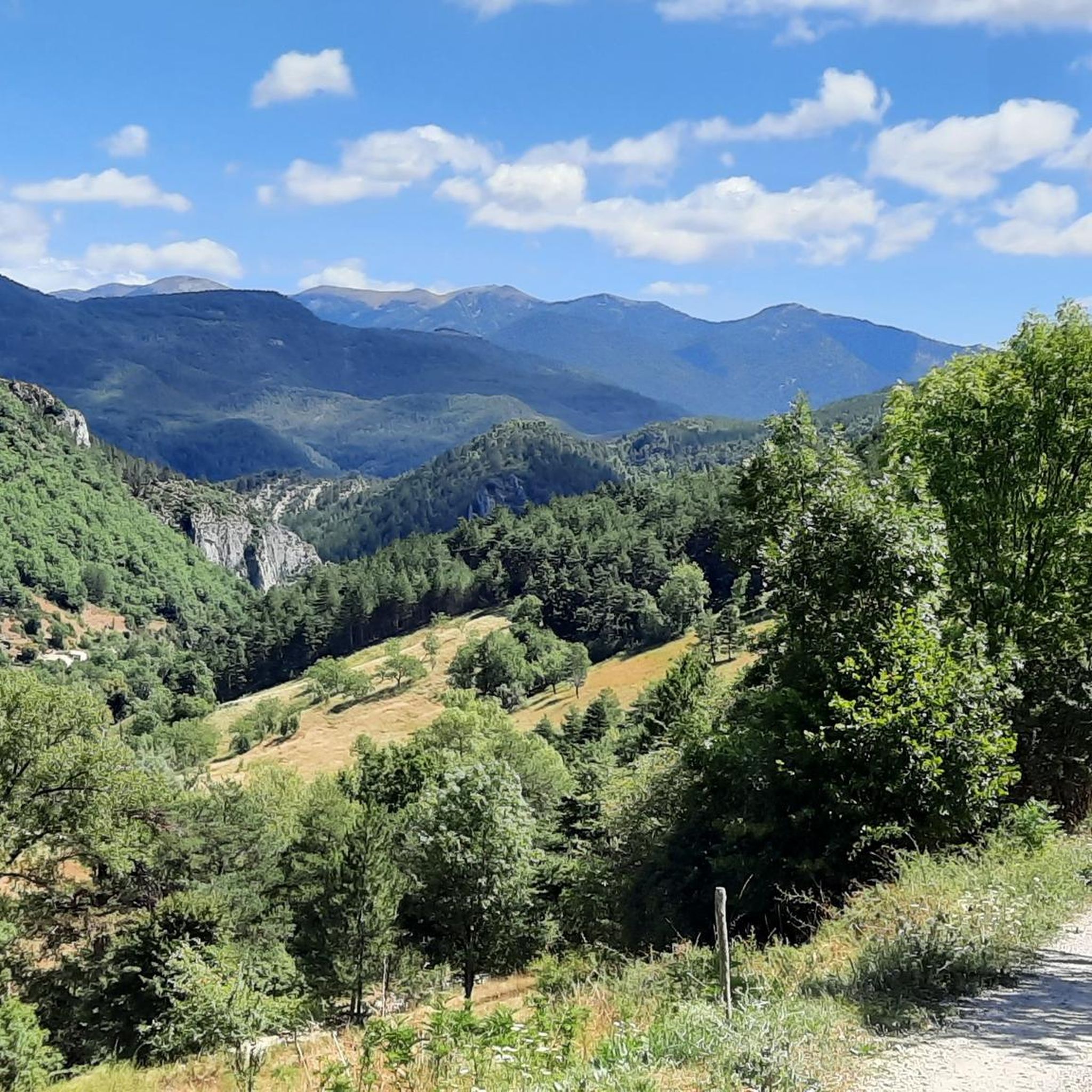
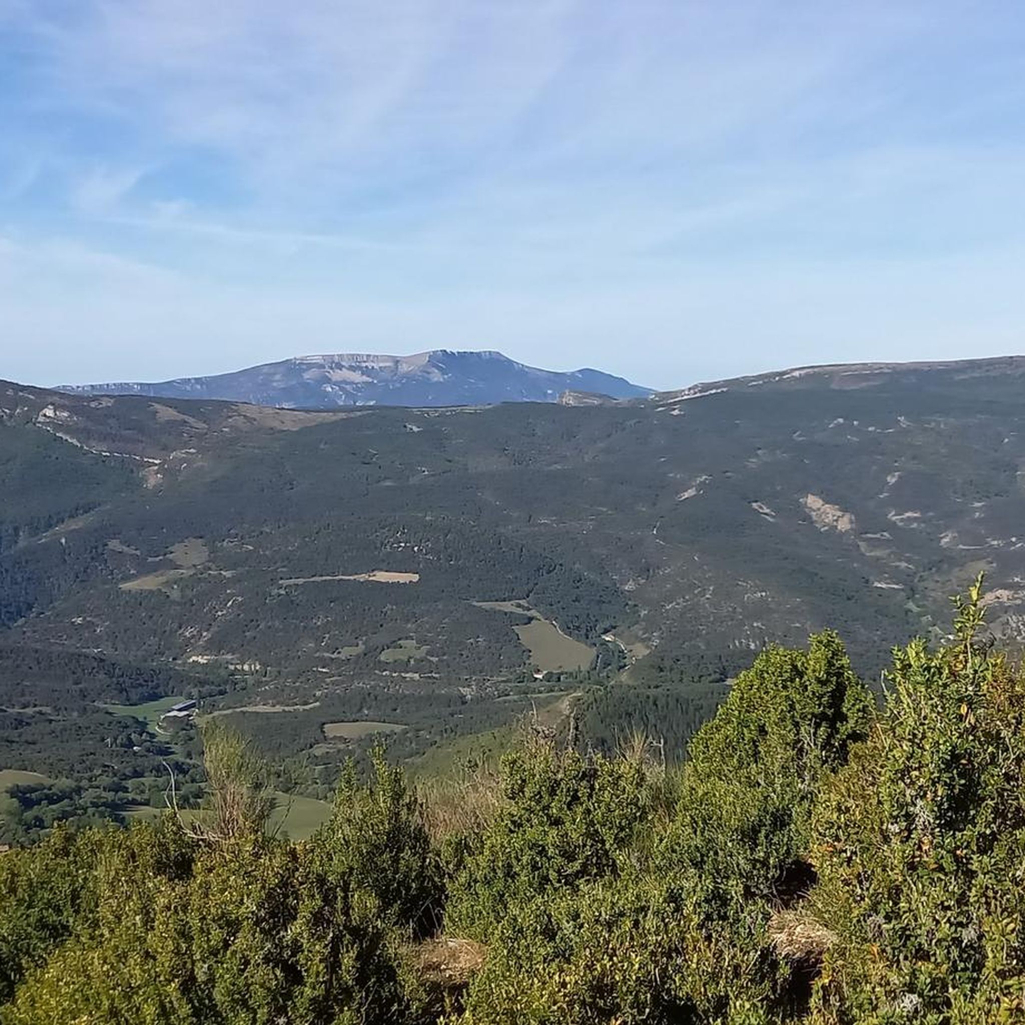
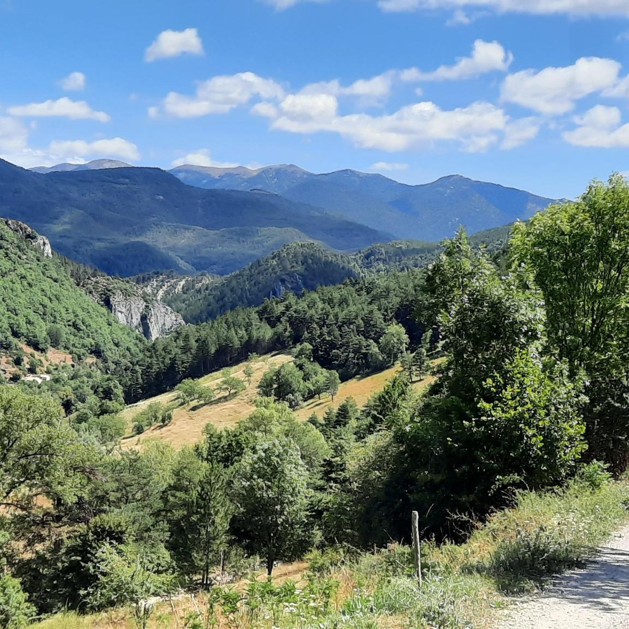
Jogging routes around Beaumont-En-Diois offer diverse natural landscapes, situated at an altitude of approximately 650 meters. The region features varied terrains including open fields, wooded sections, and paths with gentle ascents. Runners can explore a network of dedicated trails and parklands, encompassing paved surfaces, gravel roads, and wooded paths. This area acts as a bridge between the Vercors Regional Natural Park to the north and the Baronnies Provençales Regional Natural Park to the south, contributing to a rich tapestry of…
Last updated: June 29, 2026
4.0
(1)
23
runners
6.35km
00:42
70m
70m
Moderate run. Good fitness required. Mostly paved surfaces. Suitable for all skill levels.
13
runners
11.8km
01:16
170m
170m
Moderate run. Good fitness required. Mostly paved surfaces. Suitable for all skill levels.

Sign up for free
10
runners
8.43km
01:04
220m
220m
Hard run. Good fitness required. Sure-footedness, sturdy shoes and alpine experience required.
1.0
(1)
8
runners
14.9km
02:06
640m
640m
Hard run. Very good fitness required. Sure-footedness, sturdy shoes and alpine experience required.
6
runners
10.1km
01:15
220m
220m
Hard run. Good fitness required. Sure-footedness, sturdy shoes and alpine experience required.
Get access to more routes and recommendations from other explorers.
Sign up for free
Already have an account?
Our route recommendations are based on thousands of hikes, rides, and runs completed by other people on komoot.
Start today with a free account
Your next adventure awaits.
Login or Signup
Tips from the Community

Feeling a little thirsty? Luckily, the fountain bar is here to help.
0
0

It all began in 1442 when a foundation broke away from the southern flank of Pic de Luc. As it slid, it hit a limestone spur, divided, broke into enormous blocks and blocked the Drôme at two points... thus two lakes were formed: the Petit downstream and the Grand upstream. The “Grand Lac” is 5 km long and arouses envy because it is full of fish. In 1561 it thus became the property of the Carthusians of Durban, monks to whom meat was forbidden. It was only in 1804 that a huge block, the “dad”, was pierced to let the water flow at the location of the current Saut de la Drôme. This vast dry body of water now gives way to an agricultural plain (ruined Bouligons farm and its formerly cultivated terraces) and the Bouligons marsh, the last vestige of the disappeared lake. The need to avoid the Claps during the construction of the “Briançonnais” railway line at the beginning of the 20th century also gave the site a magnificent viaduct, 244 m long and 44 m high.
1
0
Typical village of Haut-Diois, former Roman capital of the region. There you will find water at the fountain, public toilets and above all a superb organic grocery store La Milpa, just opposite the bakery. It is the last village before Claps, and probably the last shops you will find before going to the other side of the Col de Cabre.
0
0

Beautiful and impressive site.
0
0

It's a pretty little village where you will find a few bars and a small supermarket to stock up on supplies.
1
0

Nice little place, nice church and some bars. Next to the church a small super. On the Drôme also a nice campsite.
0
0

The La Drôme jump is impressive and definitely worth the detour. The so-called Claps is a spectacular collapse of part of the mountain, overlooking the river. We can still clearly see the geological accident and the sliding of this enormous rock mass. This grandiose place is also a reservoir in summer where you can cool off in the shade of the pine trees and see the Drôme waterfall. It’s also an ideal climbing site: more than 120 routes for all levels and a via ferrata.
1
0
Great rocky landscape on the Drôme. Small snack available. More info: http://snackduclaps.fr/ and https://fr.wikipedia.org/wiki/Le_Claps
4
0
Frequently Asked Questions
How many running routes are available in Beaumont-en-Diois?
There are over 15 running routes around Beaumont-en-Diois that you can explore. These routes offer a variety of experiences, from moderate jogs to more challenging runs.
What kind of terrain can I expect on the running trails in Beaumont-en-Diois?
Runners in Beaumont-en-Diois can expect a diverse range of terrains. The routes feature open fields, wooded sections, and paths with gentle ascents. You'll encounter a mix of paved surfaces, gravel roads, and natural wooded paths, allowing for exploration of different ecosystems. The region is characterized by river features, mountainous terrain, and its location between the Vercors and Baronnies Provençales Regional Natural Parks.
Are there running routes suitable for beginners or easy jogs?
Yes, while many routes are classified as moderate, there are options suitable for those looking for an easier jog. For example, the Running loop from Recoubeau-Jansac is a moderate 3.9-mile (6.4 km) trail that offers a mix of open fields and wooded sections, often completed in about 40 minutes.
Are there more challenging running routes for experienced runners?
Absolutely. For experienced runners seeking a more strenuous experience, Beaumont-en-Diois offers several difficult routes with significant elevation gain. An example is the Pic de Luc loop from Luc-en-Diois, which covers nearly 9 km with substantial elevation changes.
What do other runners say about the trails in Beaumont-en-Diois?
The running routes in Beaumont-en-Diois are highly rated by the komoot community, with an average score of 3.5 stars. Over 150 runners have used komoot to explore the varied terrain, often praising the scenic beauty and the diverse landscapes that make each run unique.
Can I find running routes with scenic viewpoints or natural attractions?
Yes, the region is rich in natural beauty. The Le Claps loop from Luc-en-Diois, for instance, leads through the dramatic geological formations around the Saut de la Drôme and the Claps, an impressive river jump and mountain collapse with a waterfall. This area is perfect for combining your run with breathtaking views.
Are there any circular running routes in the area?
Many of the running trails in Beaumont-en-Diois are circular, offering convenient loop options. Popular examples include the Running loop from Recoubeau-Jansac, the Le Collet loop from Recoubeau-Jansac, and the Le Claps loop from Luc-en-Diois, all designed for a continuous running experience.
Are the running routes in Beaumont-en-Diois dog-friendly?
While specific regulations can vary, generally, dogs are welcome on trails in the natural areas around Beaumont-en-Diois, especially if kept on a leash. It's always a good idea to check local signage or the specific route details on komoot for any restrictions, particularly within protected areas like the Vercors or Baronnies Provençales Regional Natural Parks.
Are there any interesting landmarks or places to explore near the running trails?
Beyond the natural landscapes, you can find interesting landmarks. The village of Luc-en-Diois is a notable settlement nearby, and the dramatic Claps Rock Chaos is a significant natural monument. For those interested in history, La Charce Castle is also within the wider region.
What are the best times of year for running in Beaumont-en-Diois?
Beaumont-en-Diois offers a refreshing escape due to its altitude of approximately 650 meters. Spring and autumn provide pleasant temperatures and vibrant scenery, ideal for running. Summer mornings and evenings are also excellent, with opportunities to cool off near the Drôme river or in the shade of pine trees at the Claps. While winter running is possible, some higher elevation trails might be affected by snow, especially closer to the Vercors.
Are there any running routes that offer views of the Vercors or Baronnies Provençales Regional Natural Parks?
Beaumont-en-Diois is strategically located as a bridge between these two magnificent parks. Many routes will offer glimpses or direct views into the diverse landscapes of these areas. To the north, you might see the expansive open spaces and pine forests of the Vercors, while to the south, the trails can provide a taste of Provence with its aromatic plants and 'garrigue' characteristic of the Baronnies Provençales.
Most popular attractions around Beaumont-En-Diois

Get inspired with the komoot mobile app


Explore more
Browse the best Running Trails & Routes in other regions.
