The best walks and hikes around Auvernaux
4.4
(499)
2,804
hikers
270
hikes
Hiking trails around Auvernaux offer a network of paths through varied landscapes. The routes often feature moderate elevation changes, leading through forested areas and past notable rock formations. These paths provide opportunities to explore the local natural environment.
Best hiking trails around Auvernaux
- The most popular hiking route is Buisson Tower – Rocher du Duc loop from Champcueil, a 5.9 miles (9.5 km) trail that takes 2 hours 34 minutes to complete, with moderate elevation changes and views of…
Last updated: May 25, 2026
4.6
(43)
186
hikers
9.51km
02:35
120m
120m
Moderate hike. Good fitness required. Mostly accessible paths. Sure-footedness required.
4.5
(4)
28
hikers
14.2km
03:54
230m
230m
Moderate hike. Good fitness required. Mostly accessible paths. Sure-footedness required.

Sign up for free
18
hikers
21.7km
05:47
230m
230m
Hard hike. Very good fitness required. Mostly accessible paths. Sure-footedness required.
5.0
(1)
12
hikers
10.5km
02:48
110m
110m
Moderate hike. Good fitness required. Mostly accessible paths. Sure-footedness required.
4.3
(3)
11
hikers
9.85km
02:39
120m
120m
Moderate hike. Good fitness required. Mostly accessible paths. Sure-footedness required.
Get access to more routes and recommendations from other explorers.
Sign up for free
Already have an account?
Our route recommendations are based on thousands of hikes, rides, and runs completed by other people on komoot.
Start today with a free account
Your next adventure awaits.
Login or Signup




Tips from the Community

A popular spot for local mountain bike trialists. Come see their balancing skills on bikes in a great setting for a family outing.
0
0

In this section of Chemin des Platières, there are numerous ponds. There is also an old stone quarry nearby.
0
0

Beautiful building with a superb view of the surrounding countryside. Ideal for taking a short break!
0
0
Small plateau between Chapcueil and Soisy-sur-Ecole, with a water point. Many rocks around with the presence of some climbing spots.
0
1
Remains of an old wind turbine which was used to pump water, then transformed into a water tower and which is now a place of biodiversity.
2
0
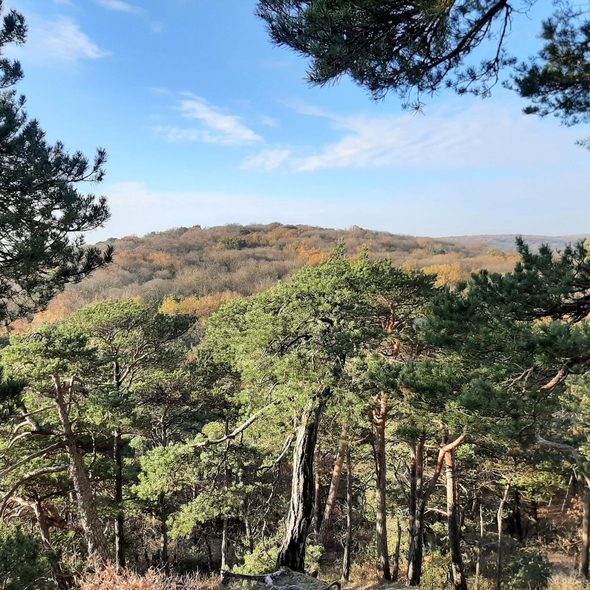
Superb view of the forest massif, ideal place for a short break and catch your breath!
1
0

Here we find a beautiful pond which offers a perfect setting for stretching or simply breathing before moving on to the next kilometre!
0
1

Ideal to land a little after the effort 👍
1
0
Frequently Asked Questions
How many hiking trails are there in Auvernaux?
Auvernaux offers a comprehensive network of over 260 hiking trails, catering to various preferences and skill levels. These routes lead through diverse landscapes, including forested areas and past notable rock formations.
What kind of landscapes can I expect on hikes around Auvernaux?
Hiking around Auvernaux is characterized by peaceful forested paths, gentle hills, and distinctive local rock formations. The trails provide opportunities to explore the natural environment, often with moderate elevation changes.
Are there easy hiking trails suitable for beginners in Auvernaux?
Yes, Auvernaux has over 110 easy hiking routes, perfect for beginners or those looking for a relaxed stroll. These trails are generally less strenuous and allow you to enjoy the local scenery at a comfortable pace.
Are there more challenging long-distance hikes available in Auvernaux?
For those seeking a greater challenge, Auvernaux offers 13 difficult routes. One such trail is the Rocher du Duc – Buisson Tower loop from Nainville-les-Roches, which spans 13.5 miles (21.7 km) and typically takes around 5 hours 47 minutes to complete.
Are there circular walks in Auvernaux?
Many of the popular routes in Auvernaux are circular, allowing you to start and end at the same point. Examples include the Buisson Tower – Rocher du Duc loop from Champcueil, a 5.9-mile (9.5 km) trail, and the Rocher du Duc – Buisson Tower loop from Champcueil, which is 9.6 miles (15.4 km).
What do other hikers enjoy the most about hiking in Auvernaux?
The hiking trails in Auvernaux are highly rated by the komoot community, with an average score of 4.4 stars from over 430 reviews. Hikers often praise the varied terrain, including forested sections and open areas, and the opportunities to explore local landmarks.
Are there any notable landmarks or attractions to see along the trails in Auvernaux?
Yes, the area around Auvernaux features several interesting landmarks. You can explore historical sites like Fleury-en-Bière Castle or Domaine de Courances. Nature lovers might enjoy the Sequoia Avenue at Villeroy Park or the scenic Allée Royale.
Are the hiking trails in Auvernaux well-marked?
The trails in Auvernaux are part of an established network, and many are signposted. The komoot community's high ratings often reflect well-maintained and easy-to-follow paths, ensuring a pleasant hiking experience.
Can I find trails that offer views of local landmarks in Auvernaux?
Absolutely. Many routes, such as the Buisson Tower – Rocher du Duc loop from Champcueil, provide views of local landmarks and rock formations, allowing you to appreciate the unique character of the region.
Are there any specific trails that highlight the rock formations in Auvernaux?
The region is known for its local rock formations. Trails like the Totem – Rocher du Duc loop from Champcueil are designed to showcase these natural features, offering hikers a chance to explore these geological points of interest.
What is the average duration of hikes in Auvernaux?
Hikes in Auvernaux vary greatly in duration. Shorter, easy routes can be completed in an hour or two, while moderate trails like the Old wind turbine – Rocher du Duc loop from Nainville-les-Roches typically take around 2 hours 39 minutes. Longer, more difficult routes can extend to nearly 6 hours.
Most popular routes around Auvernaux
Most popular attractions around Auvernaux

Get inspired with the komoot mobile app


Explore more
Browse the best Hikes in other regions.
