The 9 Most Amazing Peaks around Wangenburg-Engenthal
Mountain peaks around Wangenburg-Engenthal are nestled within the expansive Vosges forests, characterized by a lush, undulating landscape. The region ranges from 350 to 968 meters above sea level, offering numerous elevated viewpoints. It is known for its mountainous terrain, historical castles, and natural attractions like the Nideck Waterfall. This area provides a rich experience for nature lovers and history enthusiasts.
Best mountain peaks around Wangenburg-Engenthal
- The most popular mountain peaks is Schneeberg Summit, a summit that rises to an…
Last updated: June 24, 2026
Schneeberg Summit
Highlight • Summit
Translated by Google •
Tip by

Rocher de Dabo and Chapel Saint-Léon IX
Highlight • Viewpoint
Translated by Google •
Tip by

Sign up now to discover places like this
Get recommendations on the best single tracks, peaks, & plenty of other exciting outdoor places.
Sign up for free
Fairy Garden
Highlight • Viewpoint
There are remains of a 3000 year old ring wall and astronomical markings.
The rocks offer a nice seating and views of the Vosges.
Translated by Google •
Tip by

Le Narion Summit
Highlight • Summit
Translated by Google •
Tip by
Hohwalsch Rock
Highlight • Summit
Translated by Google •
Tip by

Sign up for free to discover even more peaks around Wangenburg-Engenthal.
Sign up for free
Already have an account?
Start today with a free account
Your next adventure awaits.
Login or Signup
Popular around Wangenburg-Engenthal
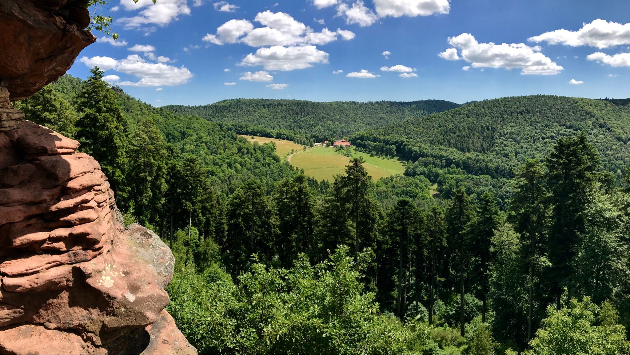
Hike the GR 53 – Explore castles along the Franco-German border
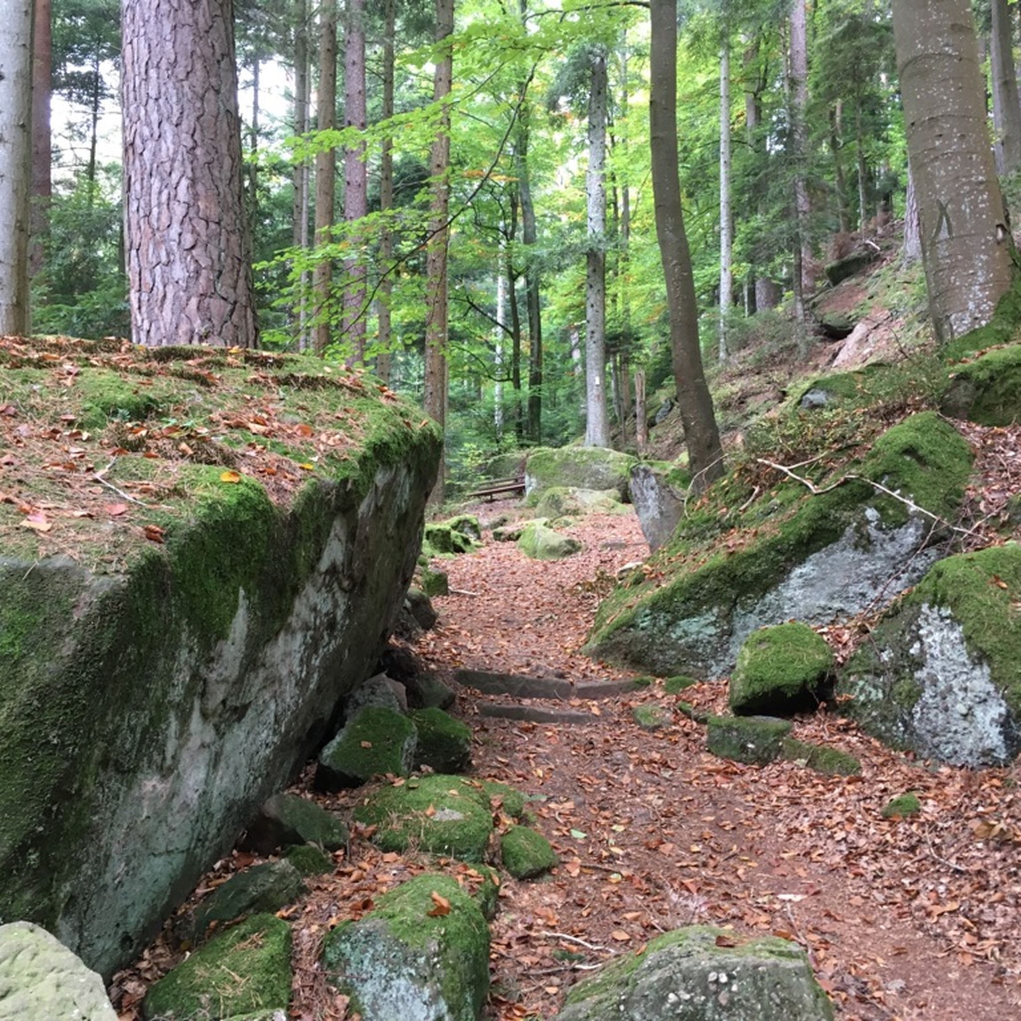
Hiking around Wangenburg-Engenthal
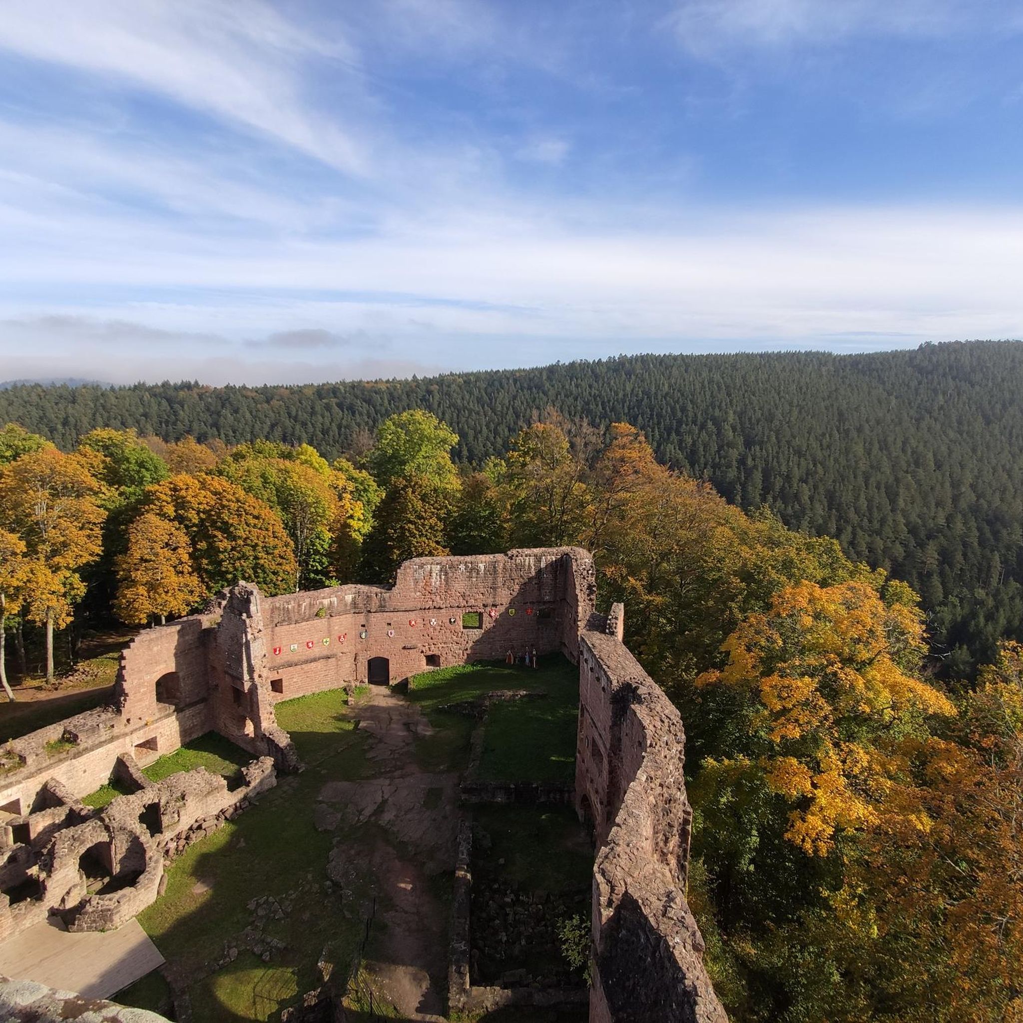
MTB Trails around Wangenburg-Engenthal
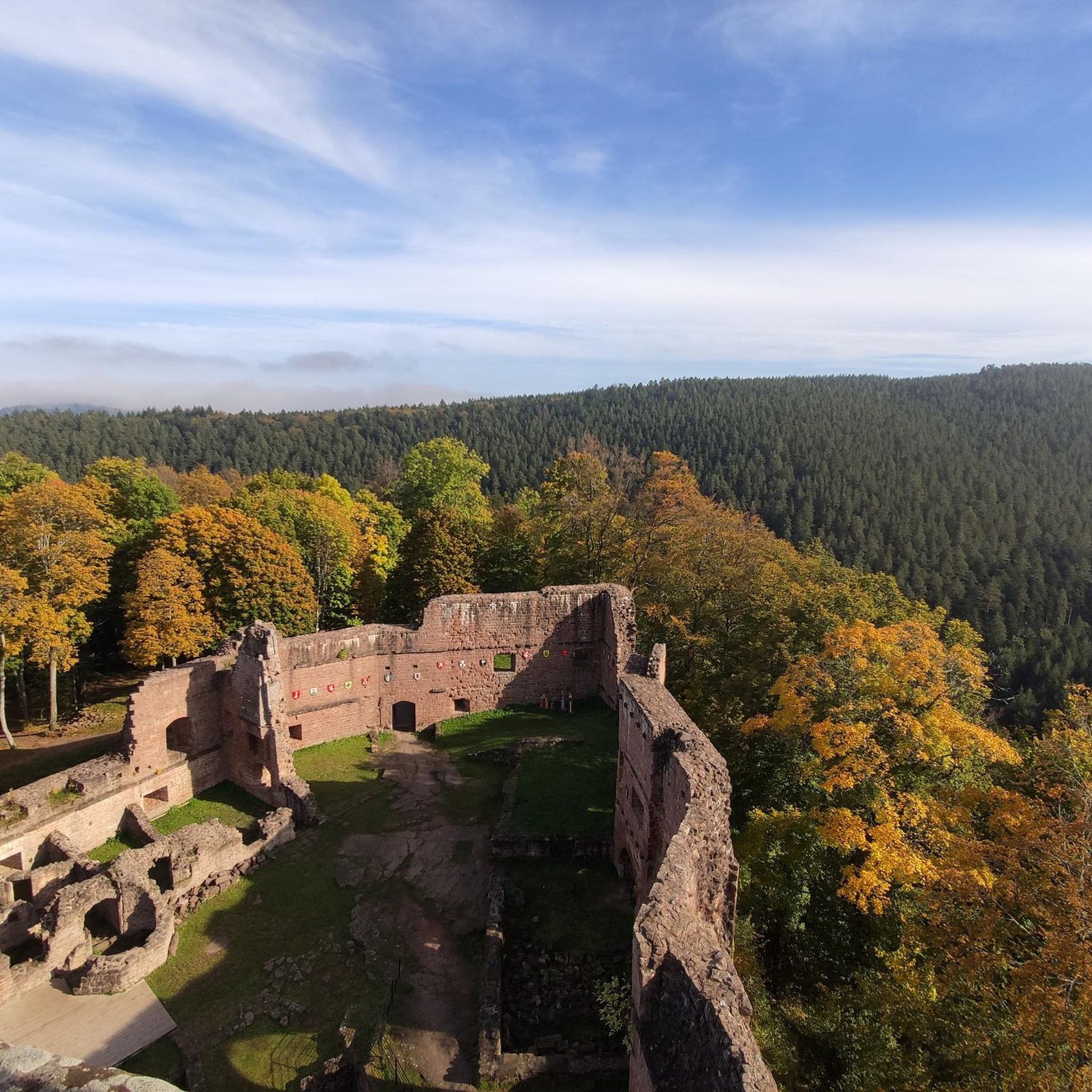
Cycling around Wangenburg-Engenthal
Running Trails around Wangenburg-Engenthal

Gravel biking around Wangenburg-Engenthal
Road Cycling Routes around Wangenburg-Engenthal
Other adventures around Wangenburg-Engenthal

Tips from the Community

Large rocky plateau; “Hohwalsch” means the height of Walsch, i.e. of Walscheid.
0
0


Beautiful summit with a wonderful panoramic view... however, the way up is mostly pathless and difficult to find... currently the western descent is very overgrown with tall grass...
1
0

Hohwalsch' means the height of Walsch, that is to say of Walscheid. Walscheid was first called 'Walterescett', which means Walter's Forest. This name developed on the border from Walter to Walscheid, because the village was on the border between Belgian Gaul and Upper Germania. [https://www.pays-sarrebourg.com/] From the top of this rock, we have an extensive view, as long as visibility allows.
3
0

The summit of Narion requires you to branch off from the main path. But this little detour is doubly worth it. Firstly because it offers an admirable view of the southern Vosges and then because its summit rock is remarkable. If this isn't a perfect spot for a nap or a picnic, I don't know what is.
1
0
The Schneeberg is a Vosges summit which rises to an altitude of 961 meters and offers a superb view of the Champ du Feu plateau to the south. It also allows you to admire the upper Mossig valley and the Oedenwald forest.
5
0
Emerging from the forest, from a height of 664 meters, the pink sandstone rock is a unique site. Places of Celtic worship, the Rock was topped in medieval times by a powerful castle, seat of the legendary county of Dabo. It was destroyed in 1690 on the orders of Louis XIV when the county was annexed to France. The current neo-Romanesque chapel is dedicated to Pope Leo IX, a native of the country. The Rocher de Dabo offers a grandiose view of the vast Vosges forest and the Lorraine plateau. The Rock is visible all year round but access to the platform is regulated during the winter. https://www.visit.alsace/ An observation tower is also integrated into the chapel, from where you can probably admire one of the most beautiful panoramas of the Vosges (weather permitting).
4
0

Le Narion is a peak in the northern Vosges (Vosges) in the French department of Bas-Rhin. Depending on the source, the mountain has an altitude of 998m or often 999m. It is located one kilometer west of the Rocher de Mutzig (1010m), which separates it from the Col du Narion (922m). In the west, 700m away is Le Noll (990m), which is more of a forepeak of Le Narion, as there is a plateau between the two hills and the deepest saddle has a height of 973m - which corresponds to a lumpy height from Le Noll 17m. Le Narion is surrounded by deep forests on all sides, and only its summit area, the plateau towards Le Noll and the uppermost northern slopes have been treeless since December 26, 1999, when Hurricane Lothar felled all the trees here. The summit itself is a 2m high sandstone block that stands on the summit plateau and can be easily climbed with simple climbing (Rock I; T3). In the north, a forest path leads close to the summit, and finally you have to climb without a path through the rubble of rotting trees (T1-2). From the south, a forest aisle leads 400 meters directly and steeply to the summit. Some traces of the path can be seen, but the most beautiful climb to Le Narion is rarely attempted.
2
0
Frequently Asked Questions
What are some of the most prominent mountain peaks and viewpoints in the Wangenbourg-Engenthal region?
The highest point directly within Wangenbourg-Engenthal is the Schneeberg Summit, reaching 961 meters and offering views of the Champ du Feu plateau. Other notable spots include Rocher de Dabo and Chapel Saint-Léon IX, a historical site with a 360-degree panorama, and Rocher de Mutzig Viewpoint, the highest point in the Northern Vosges at 1010 meters.
Are there any challenging hikes to mountain peaks in the area?
Yes, for a challenging experience, consider the "Schneeberg and the Rosskopf rock" loop, an 18.3 km hike with an elevation gain of 680 meters, typically taking around 5 hours and 43 minutes. The Le Narion Summit also offers a challenging ascent, often requiring pathless climbing through forest terrain to reach its summit rock.
What natural features can I expect to see when exploring the mountain peaks around Wangenbourg-Engenthal?
The region is characterized by expansive Vosges forests, offering pure air scented with pines and fir trees. You'll encounter significant rock formations like the Hohwalsch Rock, and natural monuments such as the Schneeberg Summit. The Nideck Waterfall, a 25-meter cascade, is also a prominent natural attraction embedded in a well-preserved setting.
Are there historical sites or castles near the mountain peaks?
Yes, the landscape is dotted with 13th-century castles and historical sites. The Rocher de Dabo and Chapel Saint-Léon IX is a significant historical site with a neo-Romanesque chapel. The ruins of Nideck Castle are also located near the Nideck Waterfall, adding a historical dimension to your visit.
What kind of outdoor activities can I do near the mountain peaks in Wangenbourg-Engenthal?
Beyond hiking, the region offers extensive opportunities for cycling and mountain biking. You can find numerous routes, such as the challenging "Col de la Schleif Picnic Area – Big rock loop" for mountain biking or the "Haut-Barr Castle – Valsberg Pass (652 m) loop" for road cycling. Explore more options on the Road Cycling Routes, MTB Trails, and Cycling guides for the area.
What is the best time of year to visit the mountain peaks in Wangenbourg-Engenthal?
The region is suitable for outdoor activities year-round. The pure air and microclimate make it pleasant in warmer months for hiking and cycling. In winter, the area transforms into a destination for winter sports enthusiasts, with 75 km of Nordic skiing pistes available.
Are there any family-friendly options for exploring the mountain peaks?
While some peaks offer challenging climbs, many trails leading to viewpoints and natural attractions are accessible for families. The overall mountainous character and numerous walking trails (300 km in total) provide varied options, including easier paths to enjoy the scenery and natural features like the Nideck Waterfall.
Can I bring my dog on trails around the mountain peaks?
The region is generally welcoming to dogs on its extensive network of walking and hiking trails. It's always recommended to keep dogs on a leash and check local regulations for specific areas or nature reserves you plan to visit.
What kind of views can I expect from the viewpoints in the region?
From various elevated points, you can enjoy panoramic vistas of the Alsace Plain and Lorraine. For instance, Rocher de Dabo and Chapel Saint-Léon IX offers a magnificent 360-degree view of the vast Vosges forest and the Lorraine plateau, while Rocher de Mutzig Viewpoint provides an amazing view from the highest point in the Northern Vosges.
How extensive is the trail network around Wangenbourg-Engenthal's mountain peaks?
The area around Wangenbourg-Engenthal boasts an extensive network of trails, including 300 km of walking trails, 120 km of all-terrain biking paths, and 75 km of Nordic skiing pistes, offering a wide range of options for hikers, cyclists, and winter sports enthusiasts.
What makes the Schneeberg Summit a significant peak in the region?
The Schneeberg Summit is the highest point in Wangenbourg-Engenthal at 961 meters. It's a prominent red sandstone mountain in the northern Vosges, offering superb views of the Champ du Feu plateau and the upper Mossig valley, making it a key destination for outdoor activities.
Are there any unique geological formations or rock features to explore?
Yes, the region features several interesting rock formations. The Rocher de Dabo is a unique pink sandstone rock emerging from the forest, and the Hohwalsch Rock is a large rocky plateau offering extensive views. The summit of Le Narion also features a remarkable summit rock.
Most popular routes around Wangenburg-Engenthal
Most popular attractions around Wangenburg-Engenthal

Get inspired with the komoot mobile app


Explore more
See even more amazing summits around Wangenburg-Engenthal with these guides:
