The best walks and hikes around Sundhausen
4.5
(1731)
7,625
hikers
348
hikes
Hiking around Sundhausen offers access to diverse landscapes, including the ancient beech forests of Hainich National Park, a UNESCO World Heritage site. The region is characterized by rolling hills and views over the Thuringian Basin. River valleys, such as those of the Werra and Unstrut, provide additional routes for outdoor activities.
Best hiking trails around Sundhausen
- The most popular hiking route is Taubergießen Nature Reserve – Dornskopf in the Taubergießen loop from Europa-Park, a 2.4 miles (3.9 km) trail…
Last updated: June 28, 2026
4.8
(9)
33
hikers
Easy hike. Great for any fitness level. Easily-accessible paths. Suitable for all skill levels.
4.8
(9)
30
hikers
Easy hike. Great for any fitness level. Easily-accessible paths. Suitable for all skill levels.

Sign up for free
5.0
(4)
15
hikers
Easy hike. Great for any fitness level. Easily-accessible paths. Suitable for all skill levels.
5.0
(1)
10
hikers
Easy hike. Great for any fitness level. Easily-accessible paths. Suitable for all skill levels.
4.8
(9)
41
hikers
Easy hike. Great for any fitness level. Easily-accessible paths. Suitable for all skill levels.
Get access to more routes and recommendations from other explorers.
Sign up for free
Already have an account?
Our route recommendations are based on thousands of hikes, rides, and runs completed by other people on komoot.
Start today with a free account
Your next adventure awaits.
Login or Signup
Tips from the Community

Beautiful nature, calm, pleasant cycle paths
0
0

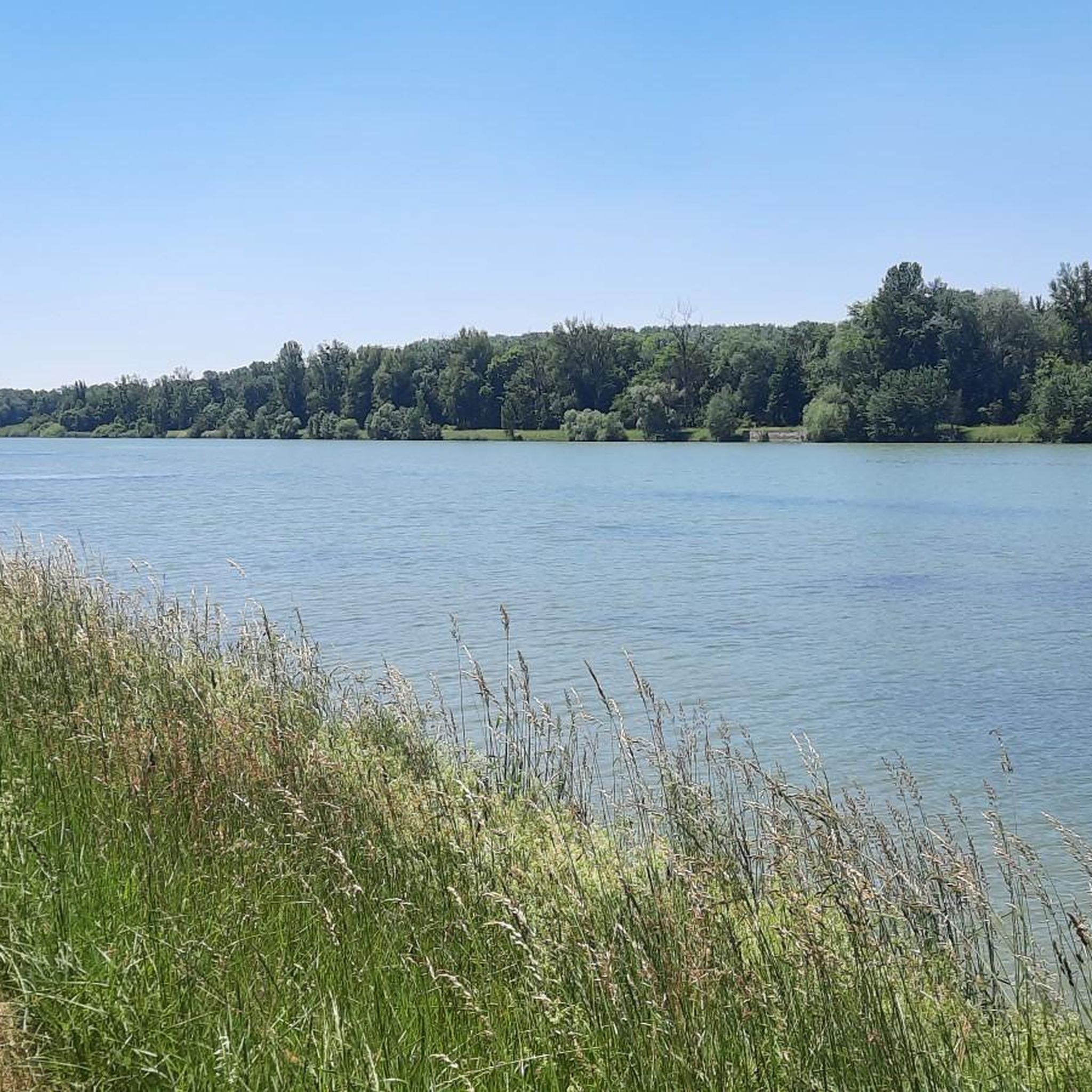
The Taubergießen nature reserve is a roughly 1,700-hectare floodplain and wetland area on the Upper Rhine between Freiburg and Offenburg. It consists of oxbow lakes, meadows, and riparian forests and is one of the largest and most ecologically valuable protected areas in Baden-Württemberg. The area is a habitat for many rare animal and plant species and is ideal for nature observation, hiking, and guided boat trips. 🌿🦆
0
0

The marked hiking trail here leads through the Dornskopf, the ford is several meters wide and varies in depth depending on the water level. So either take your shoes off or put on rubber boots from the start or be inventive or go around it. But be careful: the ford over the Dornskopf further north also has water!
1
0
There are a surprising number of providers of punting trips, some of which I have compiled without claiming to be complete: Boat trips from Rheinhausen: http://www.kossmann-bootsfahrten.de/ From Rust: https://www.naturzentrum-rheinauen.eu/2689262 http://www.rust-taubergiessen-bootsausfluege.de/ https://taubergiessentour.de/ https://freiburg-taubergiessen.de/bootsfahrten/taubergiessenbootsfahrten-fischerkahnfahrt/ From Kappel-Grafenhausen: https://jaeger-bootsfahrten.de/
1
0

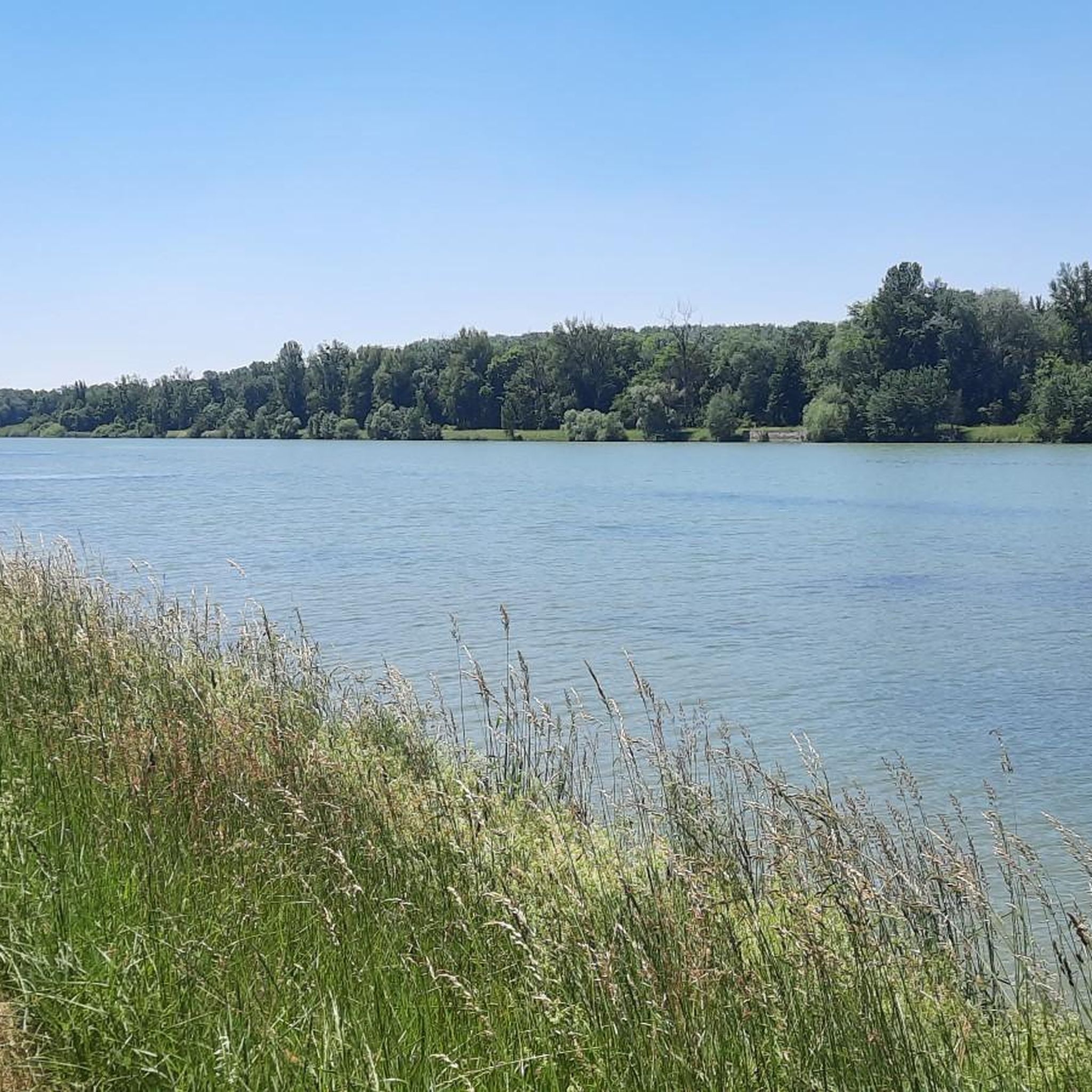
Here you will immerse yourself in the Taubergießen nature reserve, which stretches across the magical Upper Rhine meadows. Beautiful cycling paths run through the area.
1
0

Beautiful houses, lovingly restored and preserved.
0
0

Without a bridge but not deep
0
0

Construction of the Rhine Canal in Alsatian with French subtitles: https://youtu.be/5lzUf-665QM The canalization of the Rhine (1929-1959): By shortening the length of the Rhine by 32 km (by the engineer Tulla in the 19th century), the speed of water flow increased, which led to a deepening of the Rhine bed . In this sector navigation has become almost impossible. To overcome this problem, the Alsace canal was built between 1929 and 1959. This lateral canal runs along the Rhine over a length of 52km. By creating the canal, the aim was to solve the problem of flow speed and water depth to make navigation possible between Strasbourg and Basel. The project was launched by the Central Commission for the Navigation of the Rhine in April 1925. It was dug on the French side just a few hundred meters from the Rhine. It is approximately 50 kilometers long and stretches from Kembs to Vogelgrun. Along this canal we find several “festoon” hydroelectric power stations such as Marckolsheim, Rhinau, Gerstheim and Strasbourg. The part which passes in front of the commune of Schoenau is part of a festoon. The port of Basel saw its attendance decline after the first work to rectify the Rhine because navigation there was too dangerous. Since the creation of the canal, navigation has been possible again and the port of Basel is one of the most important on the Rhine. This project made it possible to facilitate navigation on the Rhine by solving the problem of flow speed as well as the depth of the river.
0
0
Frequently Asked Questions
How many hiking trails are available around Sundhausen?
There are over 340 hiking routes around Sundhausen, offering a wide variety of experiences. This includes more than 230 easy routes, nearly 100 moderate trails, and a few more challenging options for experienced hikers.
What kind of terrain and difficulty can I expect on hikes near Sundhausen?
Hiking around Sundhausen offers diverse terrain, from the ancient beech forests of Hainich National Park to rolling hills and picturesque river valleys along the Werra and Unstrut. Most routes are classified as easy, with gentle elevation changes, making them suitable for various fitness levels. There are also moderate and a few difficult trails for those seeking more challenge.
Are there any family-friendly hiking options in Sundhausen?
Yes, Sundhausen is well-suited for family outings. Many of the easy routes are perfect for families, offering gentle paths through nature. For example, the Digue Tulla, Tulla dyke – Oxbow Lake of the Rhine loop from Schœnau is an easy 3.8-mile (6.2 km) trail that can be enjoyed by all ages.
Can I bring my dog on the hiking trails around Sundhausen?
Many trails around Sundhausen are dog-friendly, allowing you to enjoy the natural beauty with your canine companion. It's always recommended to keep dogs on a leash, especially in nature reserves like Hainich National Park, and to check local regulations for specific areas. The region's open landscapes and forest paths provide ample space for walks.
What are some notable natural features or viewpoints to see while hiking?
The region boasts several natural highlights. You can explore the ancient beech forests of Hainich National Park, a UNESCO World Heritage site. For panoramic views, a viewing platform on the Dün offers vistas overlooking the Thuringian Basin. Additionally, the Taubergießen Floodplain is a significant natural area to discover.
Are there any circular hiking routes available?
Yes, many of the trails around Sundhausen are designed as circular routes, allowing you to start and end at the same point. An example is the Dornskopf in the Taubergießen – Old Rhine Taubergießen loop from Rheinhausen, a 4.2-mile (6.8 km) trail through the Taubergießen Nature Reserve.
What is the best time of year to go hiking in Sundhausen?
Sundhausen is beautiful for hiking throughout the year. Spring and autumn are particularly scenic, with vibrant foliage changes along the Werra and Unstrut rivers. The ancient beech forests of Hainich National Park offer a unique experience in any season. Even in winter, the region transforms, providing opportunities for winter walks, and other activities like skiing and sledging.
Are there any historical or cultural landmarks near the hiking trails?
While primarily focused on natural beauty, the region does offer cultural points of interest. The nearby Wilhelmsthal Castle, with its magnificent baroque garden, can be combined with a day of hiking. You can also find the Free ferry 🇩🇪Kappel am Rhein–🇫🇷Rhinau, which is a unique man-made attraction.
What do other hikers enjoy most about hiking in Sundhausen?
The hiking experiences around Sundhausen are highly rated by the komoot community, with an average score of 4.5 stars from over 1,600 reviews. Hikers often praise the region's diverse landscapes, the tranquility of the ancient forests, and the well-maintained paths suitable for various skill levels. The accessibility to nature and scenic river views are frequently highlighted.
Are there options for easier, shorter walks?
Absolutely. Sundhausen offers numerous easy walks perfect for a leisurely stroll. For instance, the Taubergießen Nature Reserve – Dornskopf in the Taubergießen loop from Europa-Park is a gentle 2.4-mile (3.9 km) trail that takes about an hour to complete, ideal for a relaxed outing.
Where can I find parking for hiking trails near Sundhausen?
Parking availability varies by trailhead. Many popular starting points for trails, especially those leading into Hainich National Park or near specific attractions, often have designated parking areas. It's advisable to check the specific route details on komoot for information on parking facilities near your chosen starting point.
Are there any cafes or places to eat near the hiking routes?
While specific cafes directly on every trail might be limited, the villages and towns surrounding Sundhausen, such as Bad Langensalza, offer various dining options. It's a good idea to plan your hike to pass through or end near one of these locations for refreshments or a meal.
Most popular routes around Sundhausen
Most popular attractions around Sundhausen

Get inspired with the komoot mobile app


Explore more
Browse the best Hikes in other regions.
