The best walks and hikes around Thiennes
4.6
(520)
3,064
hikers
408
hikes
Hiking around Thiennes offers opportunities to explore a gentle, historically rich environment in Northern France. The region is characterized by flat, open landscapes and features significant waterways like the Canal de Neufossé. Trails often follow canal banks, providing leisurely walks with historical interest and views of the local countryside.
Best hiking trails around Thiennes
- The most popular hiking route is Guarbecque Pont-Roy Walk loop from Guarbecque, a 7.2 miles (11.6 km) trail that takes 2 hours 55 minutes to…
Last updated: November 2, 2026
5.0
(1)
8
hikers
Moderate hike. Good fitness required. Easily walkable paths.
5
hikers
5.81km
01:28
0m
0m
Easy hike. Easily walkable paths.

5
hikers
7.86km
02:02
50m
50m
Moderate hike. Good fitness required. Easily walkable paths.
2.0
(2)
3
hikers
Moderate hike. Good fitness required. Easily walkable paths.
5
hikers
4.47km
01:08
10m
10m
Easy hike. Easily walkable paths.
Get access to more routes and recommendations from other explorers.
Already have an account?
Our route recommendations are based on thousands of hikes, rides, and runs completed by other people on komoot.
Start today with a free account
Your next adventure awaits.
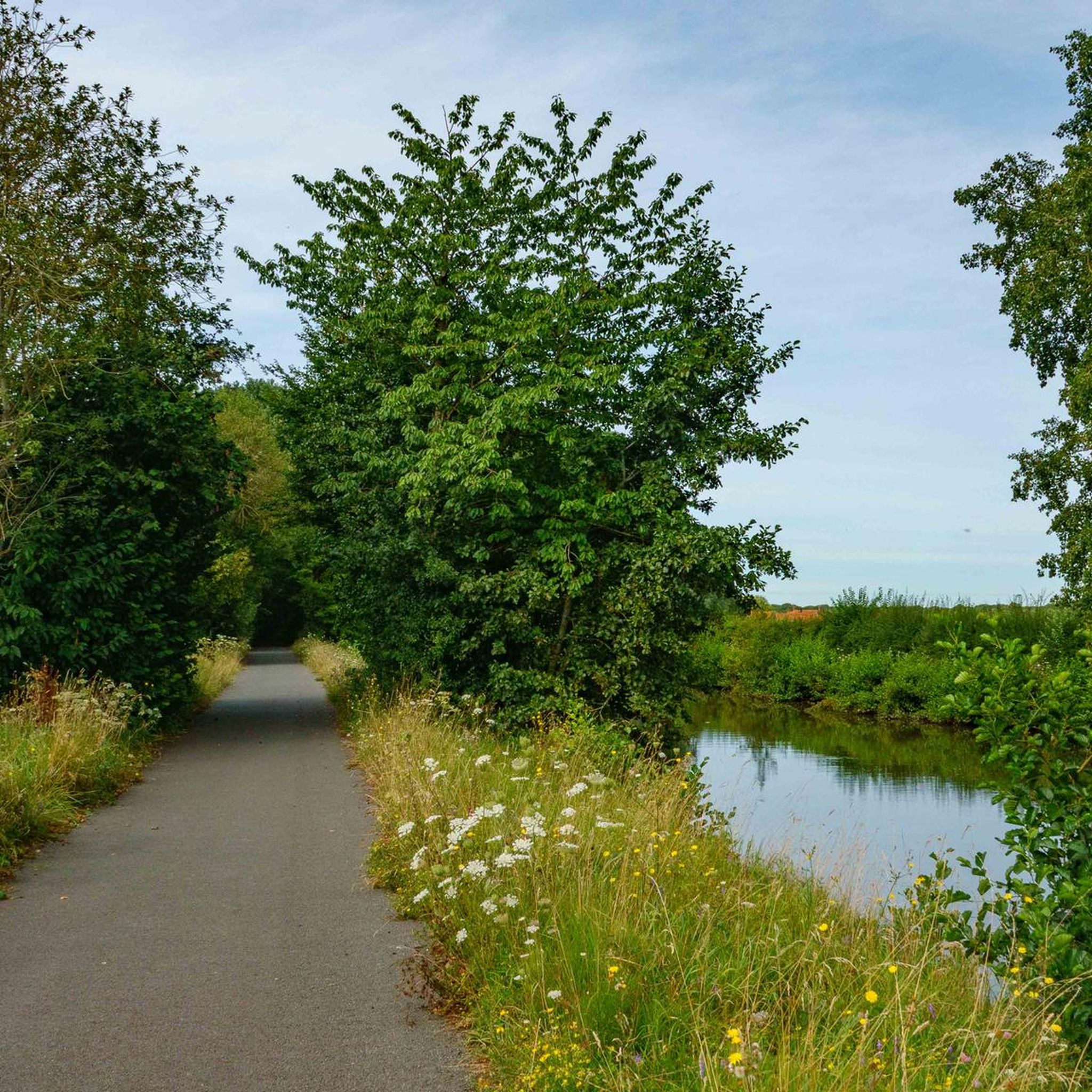
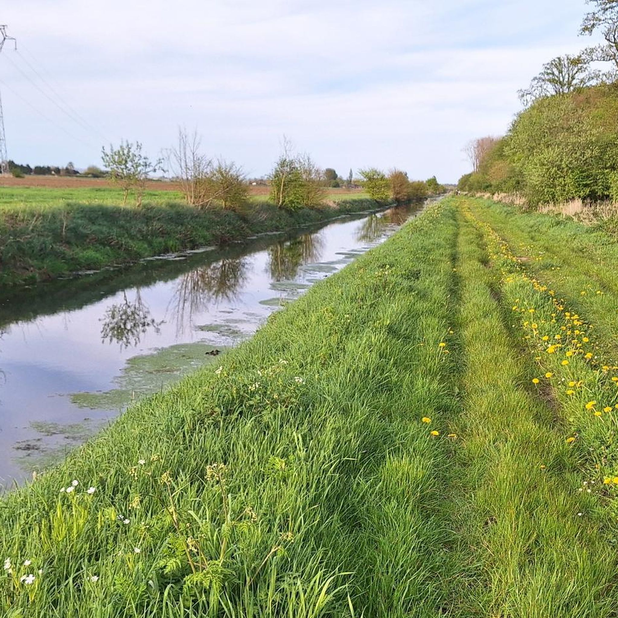
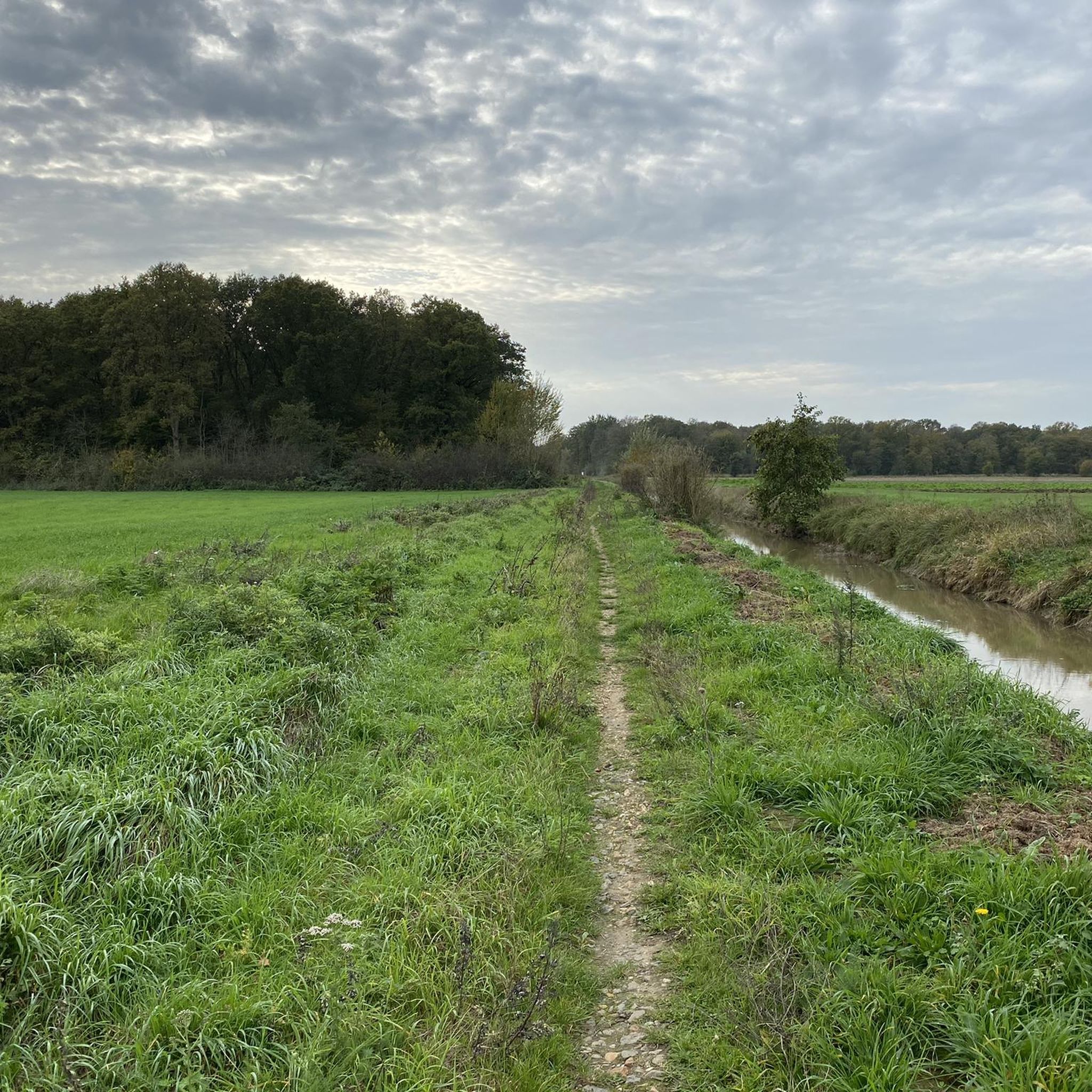


Tips from the Community

with a view of the collegiate church of Aire-sur-la-Lys
1
0

The Pont de Thiennes is a traffic bridge located on the Leie, connecting the municipalities of Thiennes and Aire-sur-la-Lys. The bridge was inaugurated in 2014. It is built of Soignies granite and was financed by the state (33.9%) for war damage, by the department of Pas-de-Calais (33.05%) and by the department of Nord (33.05%). The bridge is equipped with a lifting system to allow the passage of boats.
7
0
small iron bridge
0
1
The Pont de Thiennes is a road bridge located on the Lys, which connects the municipalities of Thiennes and Aire-sur-la-Lys. The bridge was inaugurated in 2014. It is built of Soignies granite and was financed by the State (33.9%) as war damage compensation, by the department of Pas-de-Calais (33.05%) and by the department of Nord (33.05%). The bridge is equipped with a lifting system to allow the passage of boats.
1
0
after the heavy rains ☔️ of November 2023
0
0
with its war memorial
0
0
Frequently Asked Questions
How many hiking trails are available around Thiennes?
There are over 400 hiking routes available around Thiennes, offering a wide variety of options for different preferences and skill levels. This includes 180 easy routes, 212 moderate routes, and 9 difficult routes.
What is the typical terrain like for hiking in Thiennes?
Hiking in Thiennes is characterized by a gentle, flat, and open landscape. Many trails follow the banks of waterways like the Canal de Neufossé, offering leisurely walks with historical interest and views of the local countryside. You'll find paths through local woodlands and agricultural areas, with minimal elevation changes.
What do other hikers say about the trails in Thiennes?
The hiking routes in Thiennes are highly rated by the komoot community, with an average score of 4.7 stars from over 350 reviews. Hikers often praise the quiet, accessible paths and the opportunity to explore the region's historical waterways and gentle scenery.
Are there any circular hiking routes in Thiennes?
Yes, many of the routes around Thiennes are circular, allowing you to start and end at the same point. An example is the Small Flemish chapel – Small chapel loop from Steenbecque, a moderate 7.9 km trail.
What historical or natural landmarks can I see while hiking near Thiennes?
While hiking near Thiennes, you can explore several interesting landmarks. The Canal de Neufossé itself is a significant historical waterway, and you might encounter the modern The Thiennes Bridge. Nearby, you can also visit the historic Moulin des Invalides in Aire-sur-la-Lys, a 17th-century watermill.
Are there easy hiking options suitable for beginners or casual walkers?
Absolutely. Thiennes offers a good selection of easy hiking options, with 180 routes classified as easy. These trails are generally flat and well-suited for beginners, families, or anyone looking for a relaxed stroll. An example is the Footbridge to go to the woods loop from Steenbecque, an easy 5.8 km trail.
Are the trails around Thiennes suitable for families with children?
Yes, the gentle terrain and numerous easy routes make Thiennes a good destination for family-friendly walks. Many paths along the canal banks or through local woodlands are suitable for children, offering a pleasant outdoor experience without significant challenges.
Can I bring my dog on the hiking trails in Thiennes?
Most trails in the Thiennes area are generally dog-friendly, especially those along canal paths and through open countryside. However, it's always advisable to keep your dog on a leash, particularly near livestock or in more populated areas, and to check for any specific local regulations.
Are there parking facilities available near the trailheads in Thiennes?
Parking is generally available in and around the villages near trailheads in Thiennes. You can often find public parking in village centers or designated areas close to popular starting points for walks. It's recommended to check specific route details on komoot for parking suggestions for individual tours.
How can I reach the hiking trails around Thiennes by public transport?
While Thiennes itself is a smaller municipality, public transport options may be limited directly to all trailheads. It's best to research local bus services connecting to larger towns like Aire-sur-la-Lys, from where you might find more localized transport or start your hike. Driving to the area often offers more flexibility for accessing various starting points.
Are there places to eat or stay near the hiking routes in Thiennes?
Thiennes and its surrounding villages offer some local amenities, including cafes and small eateries. For a wider selection of restaurants and accommodation, you might consider nearby larger towns such as Aire-sur-la-Lys. It's a good idea to check local listings in advance, especially outside of peak season.
What is the typical duration of hikes in the Thiennes area?
Hikes in Thiennes vary in duration, from short strolls to longer excursions. Many popular routes range from 1 to 3 hours. For example, the Guarbecque Pont-Roy Walk loop from Guarbecque typically takes around 2 hours 55 minutes, while the Old station square – Étang de la Balastiere loop from Thiennes is a longer option at about 4 hours 55 minutes.
Most popular attractions around Thiennes

Get inspired with the komoot mobile app


Explore more
Browse the best Hikes in other regions.
