The best running trails around Montauban-Sur-L'Ouvèze
5.0
(3)
83
runners
25
runs
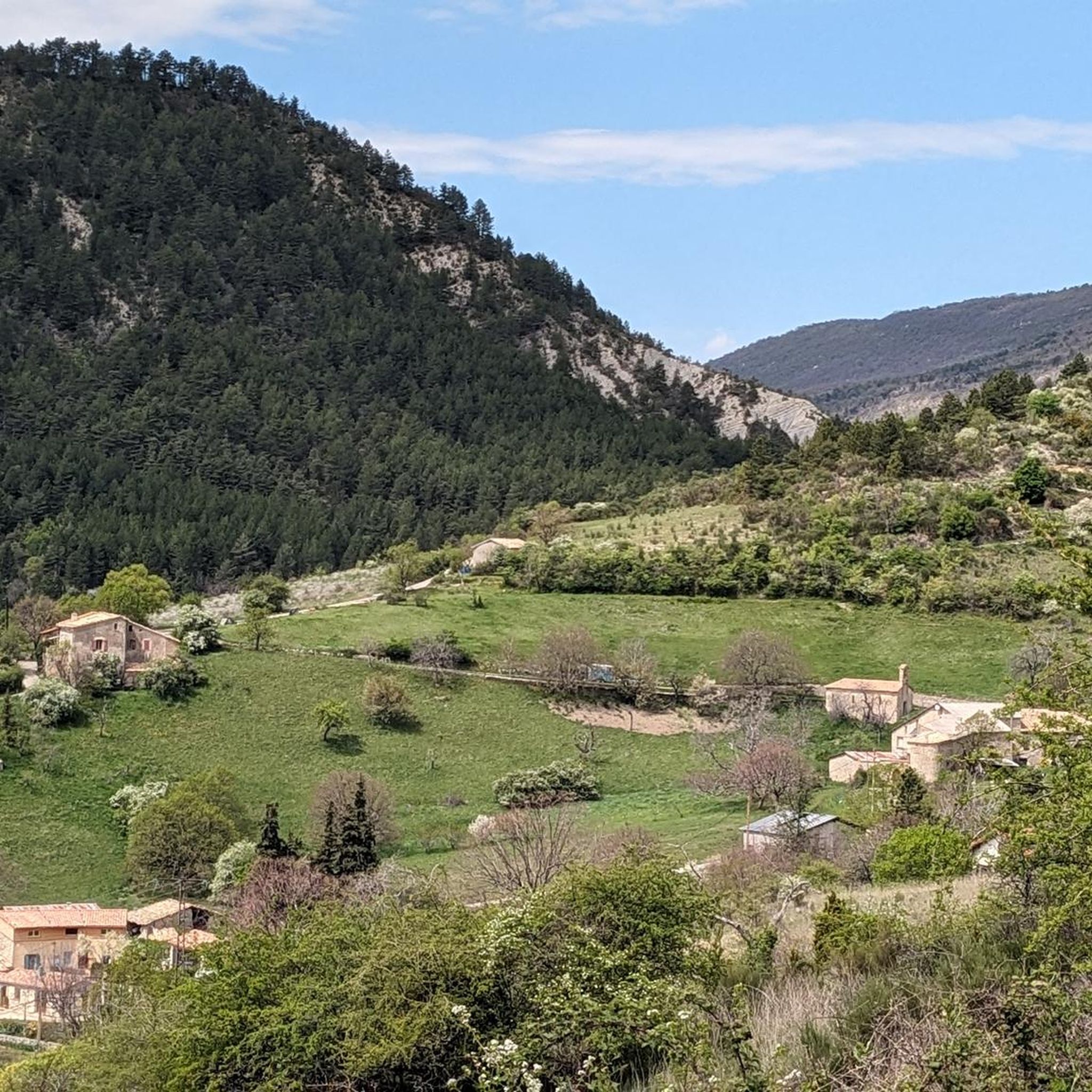
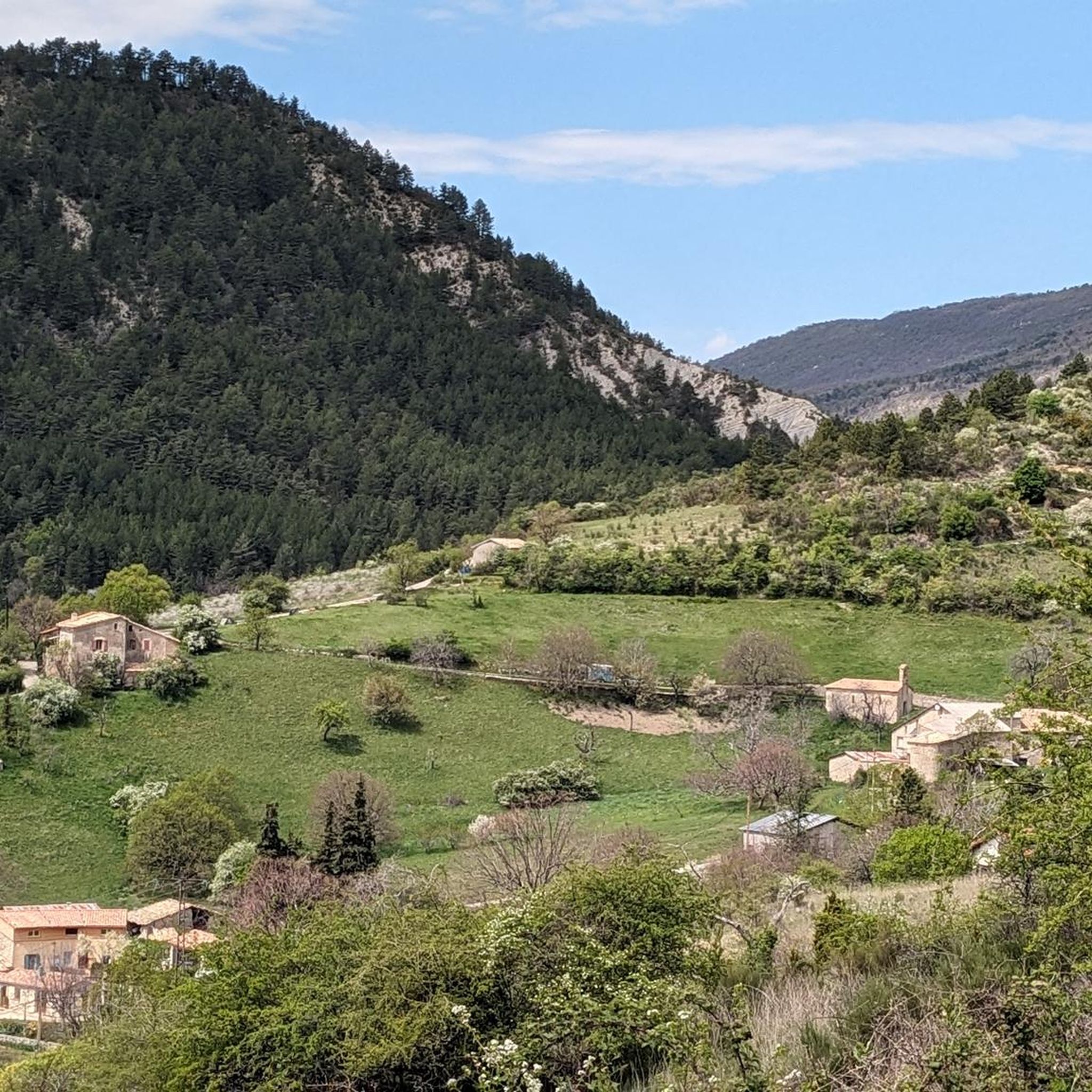
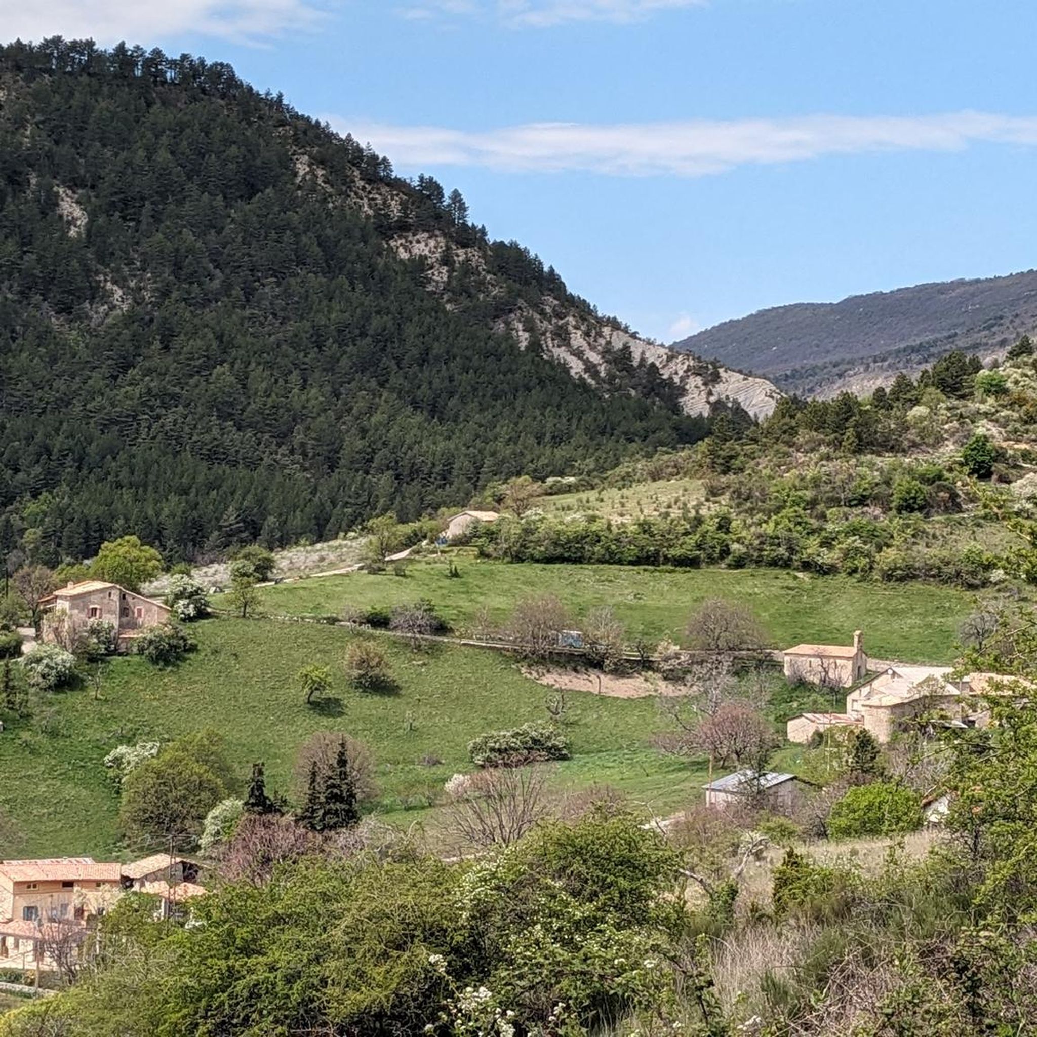
Jogging routes around Montauban-Sur-L'Ouvèze traverse the diverse landscapes of the Drôme region, situated within the Baronnies Provençales Regional Natural Park. The area features the Prealps of the Southern French Alps, offering varied terrain from challenging mountain paths to gentler valley routes. Runners can explore forests of black pines and humid beech, alongside the Ouvèze River and its surrounding valleys.
Best jogging routes around Montauban-Sur-L'Ouvèze
- The most popular jogging route is Perty Pass – Chamouse Mountain loop from Saint-Auban-sur-l'Ouvèze, a…
Last updated: June 29, 2026
8
runners
38.2km
05:12
1,320m
1,320m
Hard run. Very good fitness required. Mostly paved surfaces. Suitable for all skill levels.
7
runners
8.54km
01:12
300m
300m
Moderate run. Good fitness required. Mostly paved surfaces. Suitable for all skill levels.

Sign up for free
4
runners
6.39km
00:50
280m
280m
Moderate run. Good fitness required. Mostly paved surfaces. Suitable for all skill levels.
5.0
(1)
4
runners
10.0km
01:21
400m
400m
Hard run. Very good fitness required. Mostly paved surfaces. Suitable for all skill levels.
3
runners
11.6km
01:38
540m
540m
Hard run. Very good fitness required. Mostly paved surfaces. Suitable for all skill levels.
Get access to more routes and recommendations from other explorers.
Sign up for free
Already have an account?
Our route recommendations are based on thousands of hikes, rides, and runs completed by other people on komoot.
Start today with a free account
Your next adventure awaits.
Login or Signup
Tips from the Community

Nice pass, not too hard, beautiful view of the Ventoux and the whole valley
0
0

Moderate gradient, beautiful views, and a wonderful descent towards St. Auban sur Ouveze
0
1


From the summit of Arsuc (1460m), a breathtaking view awaits you.
0
0
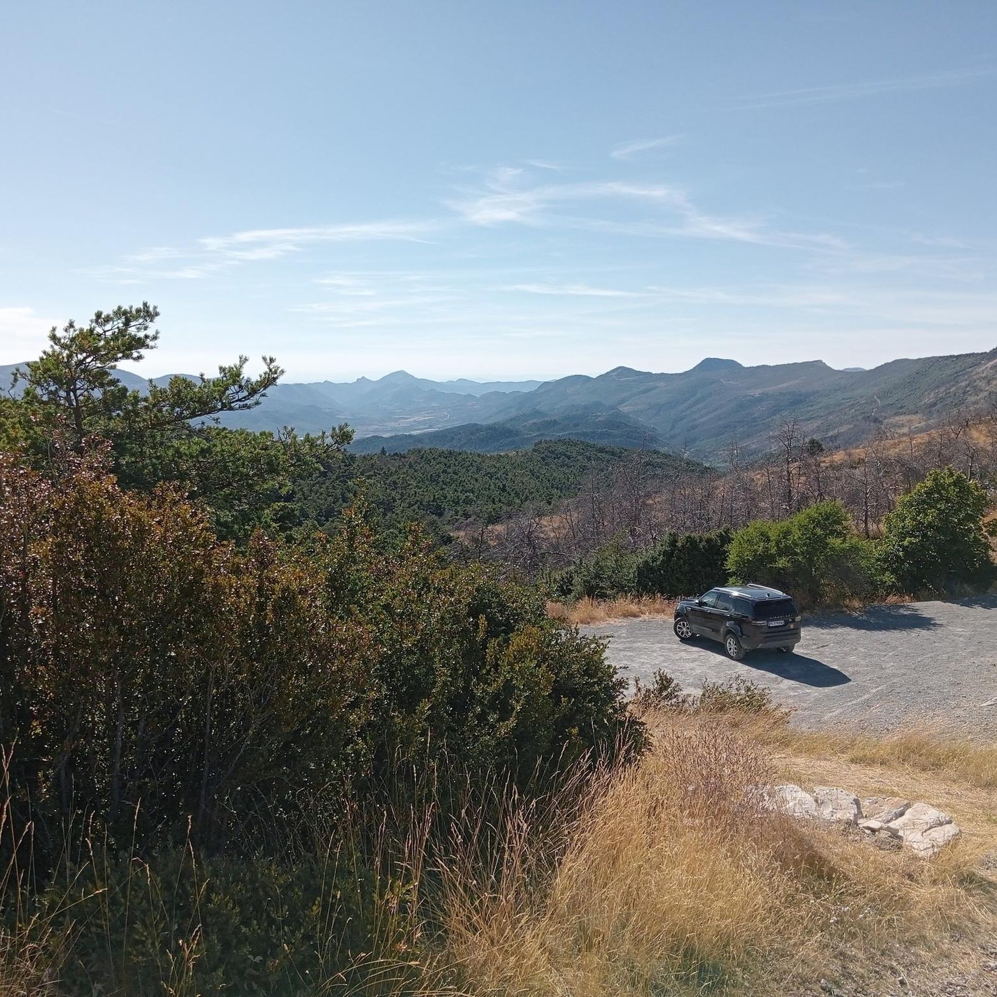
The Col de Percy culminates at 1,302 meters above sea level. It offers you a panorama of the surrounding mountains and Mont Ventoux. You can park your car here, if necessary.
0
0
We reach the Col d'Izon, 1342m, after crossing a pine forest.
1
0
In the forest of Tussie, the most observant will have the chance to see the mythical "Venus slipper", an orchid difficult to confuse with another.
2
0
Leaving from Saint-Sauveur-Gouvernet, the Col de Peyruergue is 7km long with 300m of elevation gain. The average gradient of the climb is 4.57%. This pass is the eastern gateway to the Ennuye valley.
0
0
Frequently Asked Questions
How many running routes are available around Montauban-Sur-L'Ouvèze?
There are over 30 dedicated running routes around Montauban-Sur-L'Ouvèze, catering to various fitness levels. These include 1 easy route, 11 moderate routes, and 19 challenging routes, ensuring options for every runner.
Are there any easy or beginner-friendly jogging routes in the area?
Yes, for beginners or those seeking a gentler run, there is at least one easy route available. Additionally, several of the 11 moderate routes, such as the Running loop from Lachau (7.8 km), offer a less strenuous experience through valley paths and hamlets, perfect for a relaxed jog.
What kind of terrain can I expect on the running trails near Montauban-Sur-L'Ouvèze?
The terrain is incredibly diverse, ranging from challenging mountain paths in the Prealps of the Southern French Alps to serene valley routes along the Ouvèze River. You'll encounter forests of black pines and humid beech, as well as open pastures and aromatic lavender fields, especially beautiful in bloom.
Are there any long-distance or advanced running routes for experienced runners?
Absolutely. For experienced runners, there are 19 difficult routes. A prime example is the challenging Perty Pass – Chamouse Mountain loop from Saint-Auban-sur-l'Ouvèze, which spans 38.2 km and features significant elevation changes, offering panoramic views from Montagne de Chamouse.
What are some scenic viewpoints or landmarks I can see while jogging?
Many routes offer breathtaking views. The Perty Pass and Macuègne Pass are notable for their vistas. The Montagne de Chamouse provides exceptional views of the Baronnies, while the Montagne de l'Arsuc offers a 360-degree panorama stretching to Mont Ventoux and the Écrins. You can also discover local heritage like chapels and fountains in hamlets such as Ruègne and La Combe.
Are there any circular running routes available?
Yes, many routes are designed as loops, allowing you to start and finish in the same location. Examples include the Running loop from Lachau, the Les Tunes loop from La Rochette-du-Buis, and the Montagne de Croc loop from Mévouillon.
What do other runners say about the jogging routes in Montauban-Sur-L'Ouvèze?
The running routes in Montauban-Sur-L'Ouvèze are highly rated by the komoot community, with an average score of 5.0 stars. Runners often praise the diverse landscapes, from challenging mountain trails to serene valley paths, and the stunning natural beauty within the Baronnies Provençales Regional Natural Park.
Can I find routes that pass through villages or offer cultural insights?
Yes, some routes allow you to explore the local heritage. Jogging through hamlets like Ruègne, La Combe, Bons, and Bagnols can lead you past charming chapels, fountains, and washhouses, offering a blend of athletic activity and cultural discovery.
Is Montauban-Sur-L'Ouvèze suitable for trail running in winter?
While the region offers diverse terrain, winter conditions, especially in the higher Prealps, can include snow and ice. It's advisable to check local weather forecasts and trail conditions before heading out for winter running. Lower valley routes might remain more accessible.
Are there any specific attractions or natural features to look out for?
The region is rich in natural beauty. Keep an eye out for the source of the Ouvèze River at the foot of Montagne de Chamouse. The area is also known for its aromatic plants and vibrant lavender fields, particularly during blooming season. You might also pass through picturesque settlements like Montbrun-les-Bains or Le Poët-en-Percip.
What is the best time of year to go running in Montauban-Sur-L'Ouvèze?
Spring and autumn generally offer the most pleasant conditions for running, with milder temperatures and beautiful scenery. Spring brings blooming flora, while autumn showcases vibrant fall colors. Summer can be warm, especially at lower elevations, so early morning or late evening runs are often preferred.
Are there options for family-friendly running or walking routes?
While many routes are moderate to difficult, the gentler valley paths and shorter loops, such as the Le Poët-en-Percip – Les Tunes loop from Le Poët-en-Percip (7.3 km), can be suitable for families looking for a less strenuous activity. Always check the route's difficulty and length to ensure it matches your family's capabilities.
Most popular routes around Montauban-Sur-L'Ouvèze
Most popular attractions around Montauban-Sur-L'Ouvèze

Get inspired with the komoot mobile app


Explore more
Browse the best Running Trails & Routes in other regions.
