The best walks and hikes around Montguers
4.7
(171)
878
hikers
55
hikes
Hiking around Montguers offers diverse terrain characterized by river valleys, ascents to viewpoints, and varied landscapes. The region features hills and passes, providing opportunities for both gentle walks and more challenging climbs. Trails often follow the course of the Ouvèze River or lead to elevated positions like Montagne de Vanige and Mount Arsuc. This area provides a range of hiking experiences across its natural environment.
Best hiking trails around Montguers
- The most popular hiking route is Garancier Ascent – View…
Last updated: June 25, 2026
5.0
(1)
12
hikers
Moderate hike. Good fitness required. Easily-accessible paths. Suitable for all skill levels.
4.5
(2)
5
hikers
Easy hike. Great for any fitness level. Easily-accessible paths. Suitable for all skill levels.

Sign up for free
8
hikers
20.1km
07:09
1,130m
1,130m
Hard hike. Very good fitness required. Easily-accessible paths. Suitable for all skill levels.
4.4
(8)
43
hikers
11.1km
03:11
260m
260m
Moderate hike. Good fitness required. Easily-accessible paths. Suitable for all skill levels.
8
hikers
18.2km
05:44
700m
700m
Hard hike. Very good fitness required. Easily-accessible paths. Suitable for all skill levels.
Get access to more routes and recommendations from other explorers.
Sign up for free
Already have an account?
Our route recommendations are based on thousands of hikes, rides, and runs completed by other people on komoot.
Start today with a free account
Your next adventure awaits.
Login or Signup
Tips from the Community

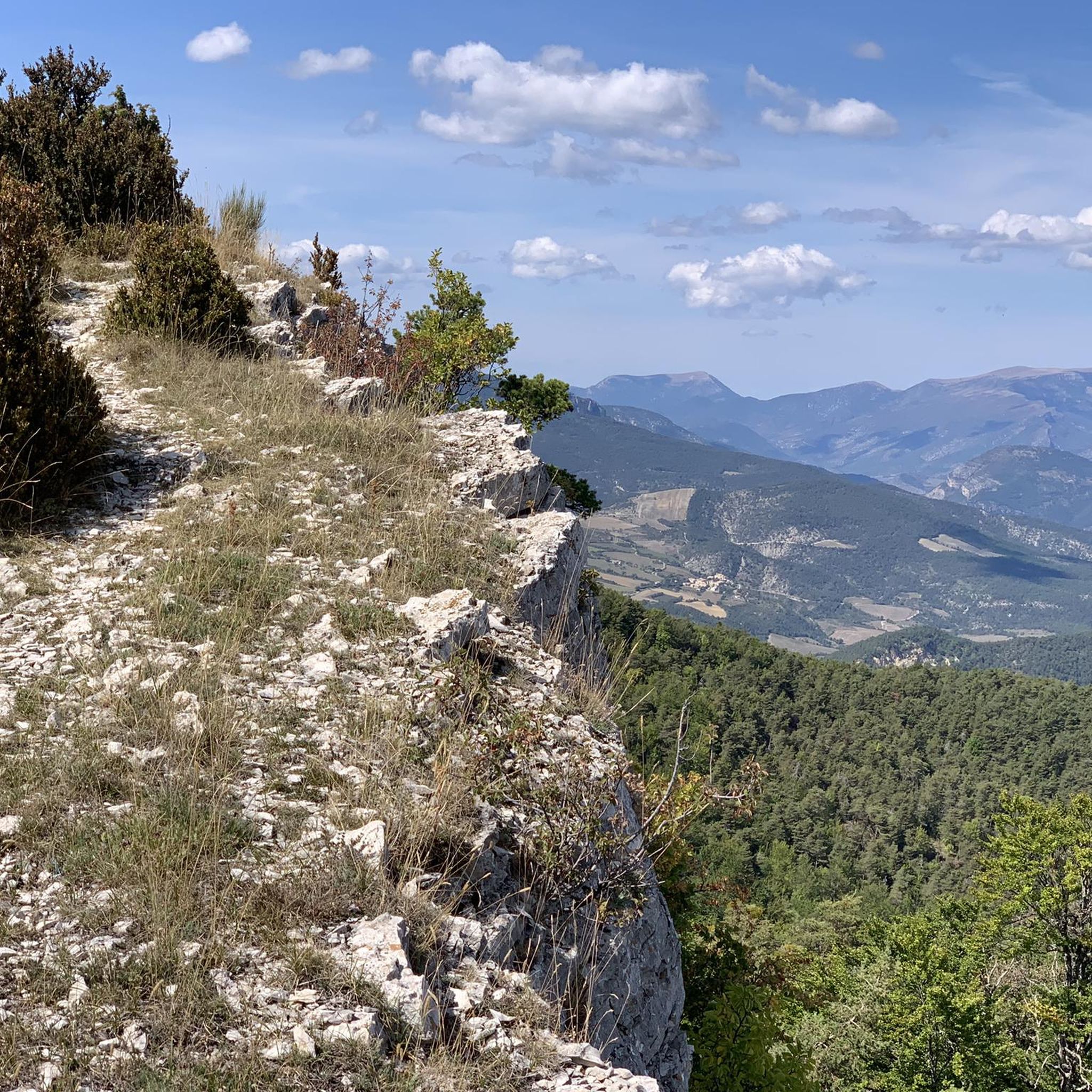
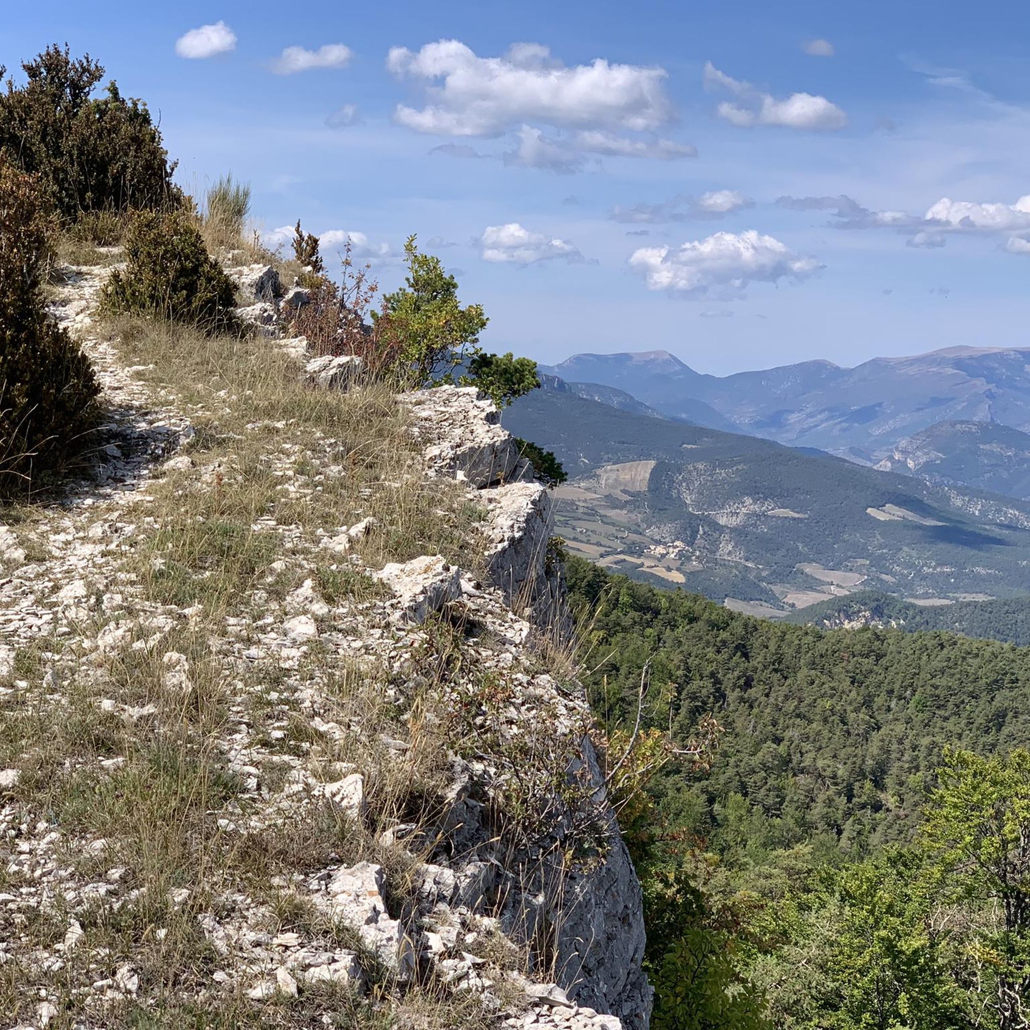
Accessible via a small, unmarked off-piste path. Be careful, it's quite steep and dizzying!
0
0

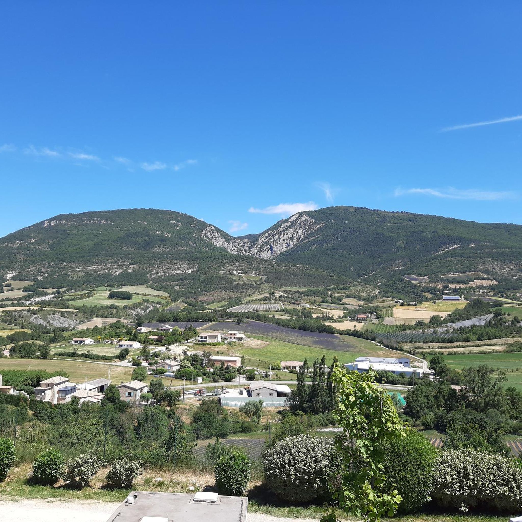
Nice pass, not too hard, beautiful view of the Ventoux and the whole valley
0
0

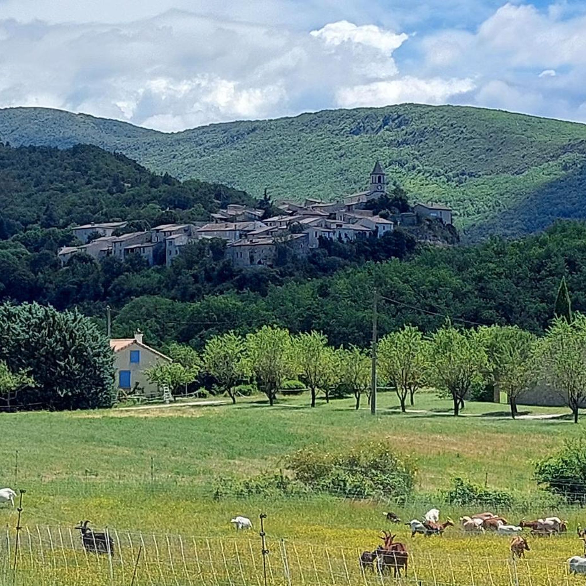
Nice village, where to eat and charge your batteries
0
0

Nice loop on varied terrain, beautiful views. But random or even non-existent marking. As well as paths annexed by farmers in their fields
0
0

Steep single track which climbs the slopes of Garancier. The dense vegetation opens up in places to reveal beautiful perspectives over the Ouvèze valley.
0
0

From the summit of Arsuc (1460m), a breathtaking view awaits you.
0
0
The Col de Percy culminates at 1,302 meters above sea level. It offers you a panorama of the surrounding mountains and Mont Ventoux. You can park your car here, if necessary.
0
0

Path that leads to Saint Auban dur l'Ouvèze by the river. Cold shower guaranteed, a real pleasure during the summer.
0
0
Frequently Asked Questions
How many hiking trails are available around Montguers?
There are over 50 hiking trails around Montguers, offering a variety of experiences from easy riverside strolls to challenging mountain ascents. The region features diverse terrain, including river valleys and elevated viewpoints.
Are there any easy hiking trails suitable for families in Montguers?
Yes, Montguers offers several easy trails perfect for families. A notable option is the Crossing the River Ouvèze loop from Saint-Auban-sur-l'Ouvèze, an easy 3.3-mile (5.3 km) path that follows the river, providing a gentle walk through the valley.
What are some challenging long-distance hikes in the Montguers area?
For those seeking a challenge, the Garancier Ascent – Saint-Auban-sur-l'Ouvèze loop from Tenargue is a difficult 12.5-mile (20.1 km) trail. It features significant elevation gain and varied terrain, typically taking over 7 hours to complete.
What is the best time of year to go hiking in Montguers?
The best time for hiking in Montguers is generally spring (April to June) and autumn (September to October). During these seasons, the weather is mild and pleasant, and the landscapes are particularly beautiful with blooming flowers or vibrant fall colors. Summers can be hot, while winters are mild but higher elevations might see some snow.
Are there any circular hiking routes around Montguers?
Many trails in Montguers are designed as circular routes, allowing you to start and end at the same point. An example is the Garancier Ascent – View from Montagne de Vanige loop from Saint-Auban-sur-l'Ouvèze, a moderate 7.3-mile (11.8 km) trail offering views from Montagne de Vanige.
What kind of views can I expect on hikes in Montguers?
Hikes in Montguers often provide panoramic views of the surrounding river valleys, rolling hills, and the pre-Alpine landscape. Trails leading to elevated positions like Montagne de Vanige or Mount Arsuc offer particularly rewarding vistas of the region.
Are dogs allowed on the hiking trails in Montguers?
Generally, dogs are welcome on hiking trails in the Montguers area. It is always recommended to keep them on a leash, especially when passing through agricultural areas or near wildlife, and to respect local signage regarding pet regulations.
What are some interesting landmarks or attractions to see near the hiking trails?
The Montguers area is rich in natural and historical points of interest. You can explore various mountain passes such as Perty Pass or Col d'Aulan. The charming settlement of Le Poët-en-Percip is also nearby.
Is public transport available to reach hiking trailheads in Montguers?
Public transport options to reach specific trailheads in the rural Montguers area can be limited. It is often advisable to travel by car to access the starting points of many hikes, where parking is generally available.
What do other hikers say about the trails in Montguers?
The routes in Montguers are highly rated by the komoot community, with an average score of 4.7 stars from over 140 reviews. Hikers often praise the varied terrain, from gentle river paths to challenging ascents, and the beautiful natural environment.
Are there any moderate hikes that offer a good balance of challenge and scenery?
Yes, a great moderate option is the Saint-Auban-sur-l'Ouvèze loop from Saint-Auban-sur-l'Ouvèze. This 6.8-mile (10.9 km) trail provides a balanced experience with varied landscapes and manageable elevation changes.
Can I find hikes that lead to Mount Arsuc?
Yes, you can hike to Mount Arsuc. The Mount Arsuc – Perty Pass loop from Ruissas is a difficult 11.3-mile (18.2 km) route that takes you to Mount Arsuc and through Perty Pass, offering significant elevation and rewarding views.
Most popular attractions around Montguers

Get inspired with the komoot mobile app


Explore more
Browse the best Hikes in other regions.
