The best walks and hikes around Rioms
4.8
(145)
809
hikers
72
hikes
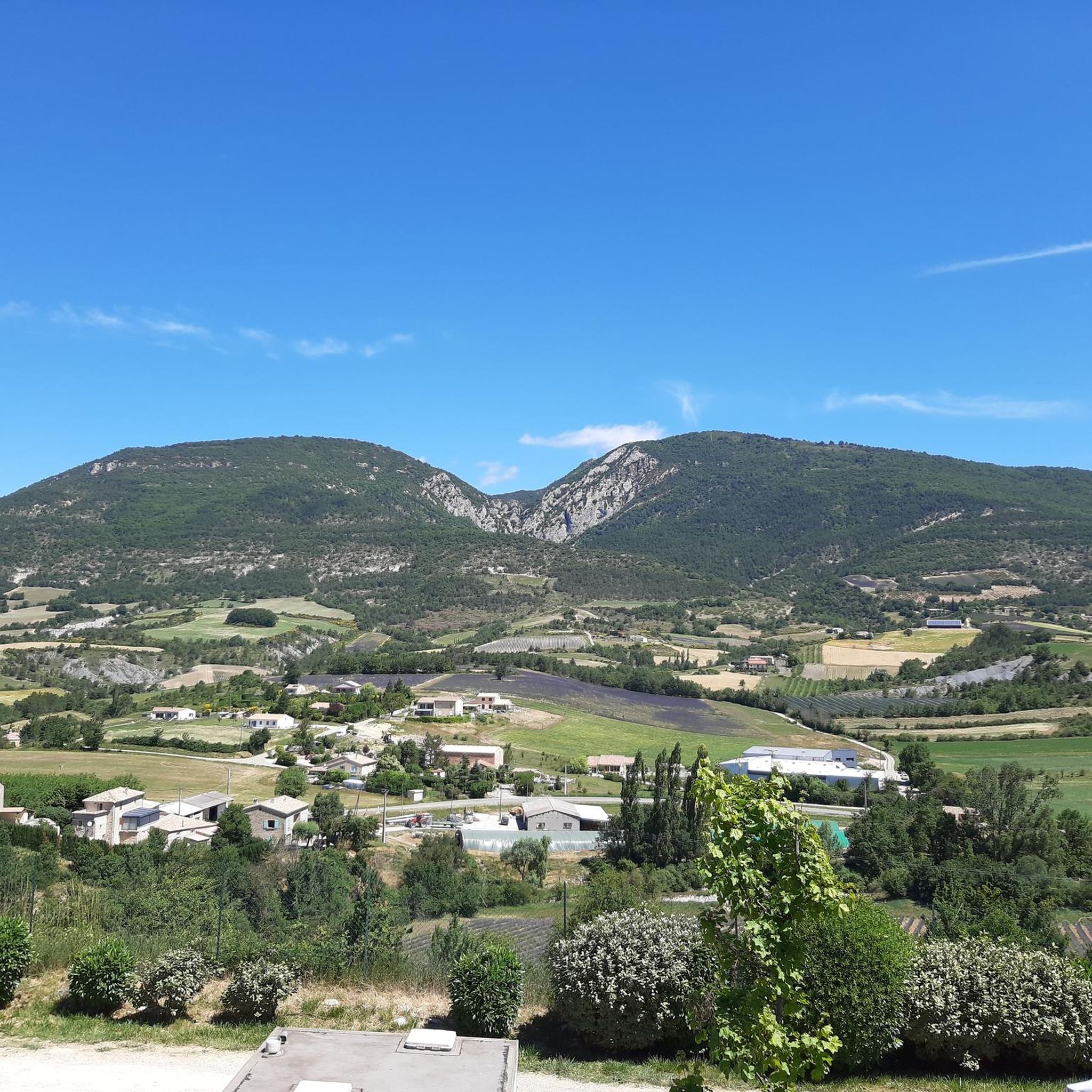
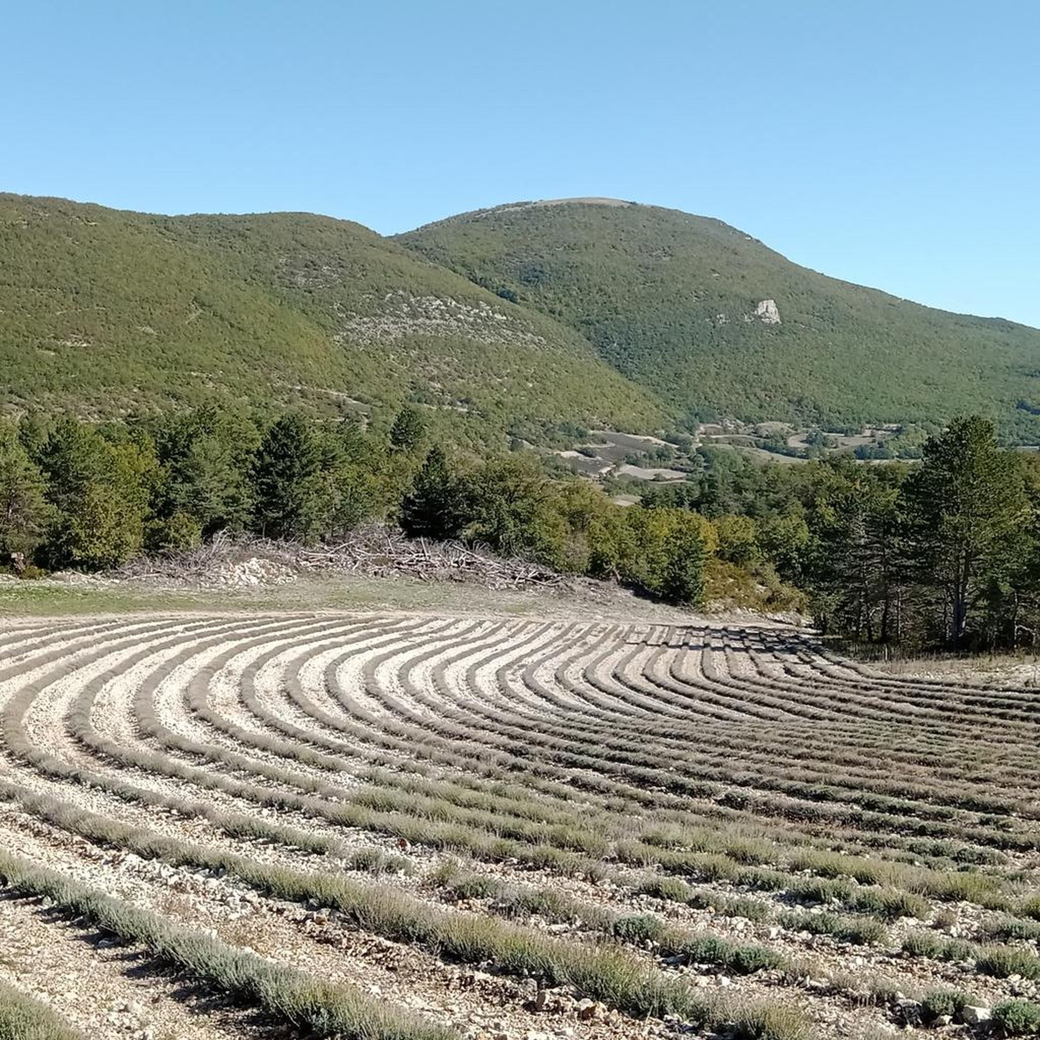
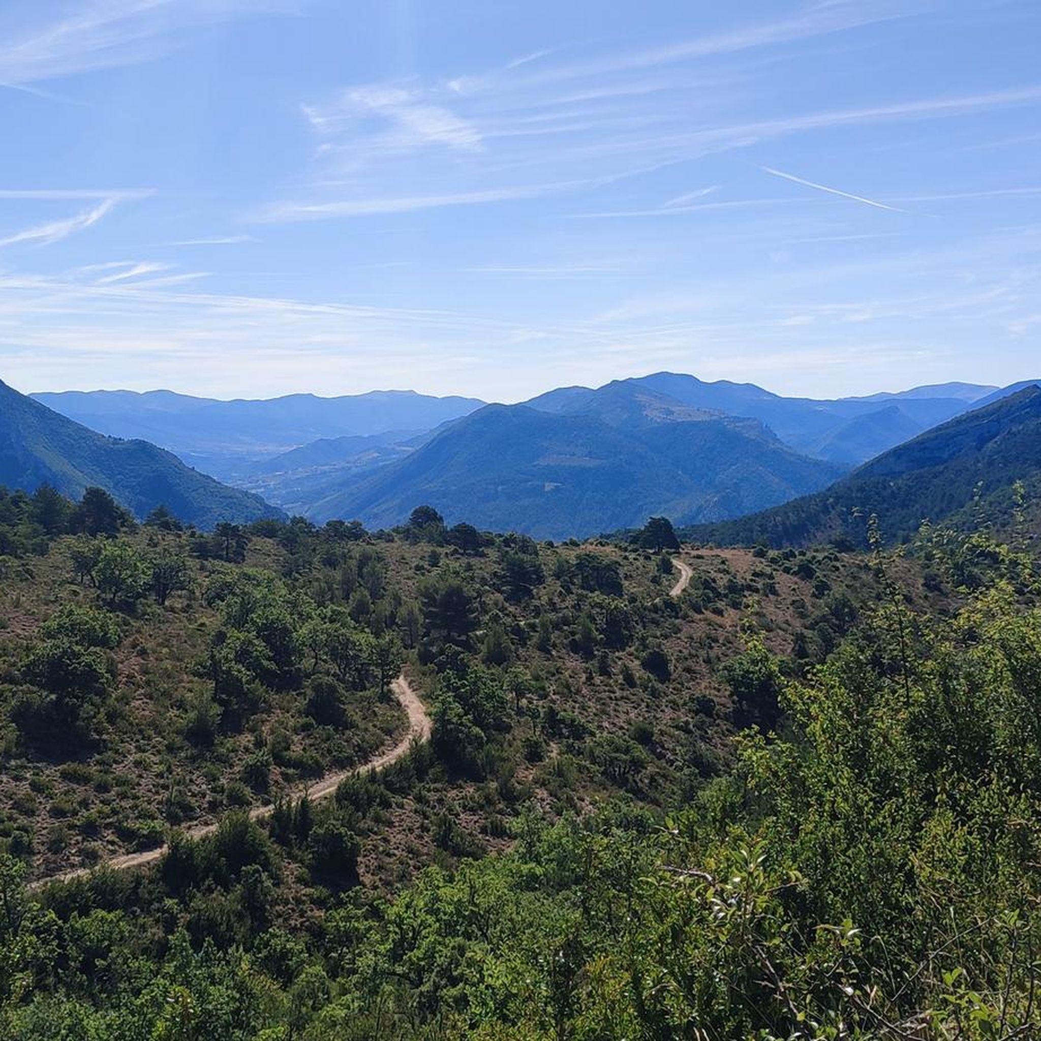
Hiking around Rioms offers a diverse landscape characterized by hills, valleys, and river systems. The terrain includes ascents to viewpoints and paths alongside waterways. Rock formations are present in some areas, contributing to varied hiking experiences. The region provides a mix of challenging climbs and more accessible trails.
Best hiking trails around Rioms
- The most popular hiking route is Garancier Ascent – View from Montagne de Vanige loop, a 7.3 miles (11.8 km) trail that takes 4 hours 22…
Last updated: May 12, 2026
5.0
(1)
12
hikers
Moderate hike. Good fitness required. Easily-accessible paths. Suitable for all skill levels.
4.5
(2)
5
hikers
Easy hike. Great for any fitness level. Easily-accessible paths. Suitable for all skill levels.

Sign up for free
4.3
(7)
39
hikers
11.1km
03:11
260m
260m
Moderate hike. Good fitness required. Easily-accessible paths. Suitable for all skill levels.
4.0
(1)
6
hikers
12.5km
04:11
620m
620m
Moderate hike. Good fitness required. Easily-accessible paths. Suitable for all skill levels.
5.0
(2)
8
hikers
12.2km
04:00
540m
540m
Moderate hike. Good fitness required. Easily-accessible paths. Suitable for all skill levels.
Get access to more routes and recommendations from other explorers.
Sign up for free
Already have an account?
Our route recommendations are based on thousands of hikes, rides, and runs completed by other people on komoot.
Start today with a free account
Your next adventure awaits.
Login or Signup
Tips from the Community

The path back up to the village is quite steep, but doable.
0
0

Nice place and... given my 🫣zero French 😵💫, I managed to make myself understood thanks also to the patience of the waitress, excellent lunch that offers I think daily two/three appetizers, first and second courses 👍
0
0

Nice village, where to eat and charge your batteries
0
0

Nice loop on varied terrain, beautiful views. But random or even non-existent marking. As well as paths annexed by farmers in their fields
0
0

Steep single track which climbs the slopes of Garancier. The dense vegetation opens up in places to reveal beautiful perspectives over the Ouvèze valley.
0
0

Le Poët-en-Percip takes its name from its position (poët, which is a distortion of the Latin podium, meaning “mound”) and also from its first lordship, Domina Percipia. She is the one who is at the origin of the Mévouillon dynasty. It was in 1266 that in his honor the Poet was named en-Percip. This perched village was once a stopover on the old busy road which linked Buis to the highlands. Only one road leads to the village, which helps maintain this peaceful place.
1
0

Path that leads to Saint Auban dur l'Ouvèze by the river. Cold shower guaranteed, a real pleasure during the summer.
0
0

I spent the night at the communal stopover lodge. It's not luxury, but for 10 € you can't have everything. There is a kitchen but no gas when I went there. Provide stove and meals + duvet because with 4 large mattresses placed on the floor of the mezzanine .... for fans of unguarded refuges.
1
0
Frequently Asked Questions
How many hiking trails are available around Rioms?
There are over 70 hiking routes available around Rioms, offering a wide variety of experiences for all skill levels.
What kind of terrain can I expect when hiking in Rioms?
The terrain around Rioms is diverse, characterized by hills, valleys, and river systems. You can expect ascents to scenic viewpoints, paths alongside waterways, and areas with notable rock formations. The region offers everything from gentle walks to more challenging climbs.
Are there options for different hiking skill levels in Rioms?
Yes, Rioms caters to various skill levels. There are 13 easy routes perfect for a leisurely stroll, 47 moderate trails for those seeking a bit more challenge, and 10 difficult routes for experienced hikers looking for a demanding adventure.
What do other hikers say about the trails in Rioms?
The hiking routes in Rioms are highly rated by the komoot community, with an average score of 4.8 stars from over 140 reviews. More than 870 hikers have used komoot to explore the varied terrain, often praising the diverse landscapes and well-maintained paths.
Are there any circular hiking routes in Rioms?
Yes, many routes in Rioms are designed as loops. For example, the Col d'Aulan – Mévouillon Rock loop from Aulan is a popular moderate trail, and the Mévouillon Rock loop from Chapelle Sainte-Bernadette offers an easier option through areas with rock features.
What natural features or landmarks can I discover on hikes around Rioms?
Hiking around Rioms offers opportunities to explore various natural features. You can find impressive mountain passes like Macuègne Pass and Col d'Aulan. The region also features natural monuments such as Montagne de Vic and the unique Black Marls of the Baronnies Provençales.
Are there any easy hikes suitable for families or beginners in Rioms?
Absolutely. Rioms offers 13 easy routes. A great option for families or beginners is the Crossing the River Ouvèze loop from Saint-Auban-sur-l'Ouvèze, which is a gentle 3.3-mile path along the river.
Can I find challenging hikes in the Rioms area?
Yes, for those seeking a challenge, there are 10 difficult routes around Rioms. The region's varied terrain includes significant ascents and mountain passes that will test your endurance.
Is it possible to hike along rivers or waterways in Rioms?
Yes, the landscape around Rioms includes river systems, and several paths run alongside waterways. The Crossing the River Ouvèze loop from Saint-Auban-sur-l'Ouvèze is a prime example of a route that follows a river.
What are the options for parking when hiking in Rioms?
While specific parking details vary by trailhead, many popular starting points for hikes in Rioms, especially those near villages or attractions, typically offer designated parking areas. It's advisable to check the route details on komoot for specific parking information before you go.
How can I get to the hiking trails around Rioms using public transport?
Public transport options to reach trailheads in Rioms can be limited depending on the specific starting point. Some villages may have bus connections. For detailed information on public transport to your chosen trailhead, we recommend checking local transport schedules or using a journey planner.
What is the best time of year to go hiking in Rioms?
The best time for hiking in Rioms generally depends on the elevation and specific trail. Spring and autumn offer pleasant temperatures and beautiful scenery, while summer is ideal for higher-altitude trails. Winter hiking might be possible on lower, well-maintained paths, but conditions can vary greatly.
Are there any dog-friendly trails in Rioms?
Many trails in Rioms are suitable for dogs, especially those in natural, unpopulated areas. However, it's always recommended to keep your dog on a leash, especially in areas with livestock or wildlife, and to check for any specific local regulations or protected areas where dogs might be restricted.
Most popular attractions around Rioms

Get inspired with the komoot mobile app


Explore more
Browse the best Hikes in other regions.
