The best walks and hikes around Kalhausen
4.4
(581)
3,183
hikers
291
hikes
Hiking around Kalhausen offers diverse landscapes in the Moselle department of northeastern France. The region is characterized by a valley environment where the Saar River and the Houillères Canal run in parallel, creating a riparian landscape. Elevations range from approximately 203 to 331 meters, providing varied terrain from leisurely paths to routes with moderate changes. The area features lush forests and open countryside, contributing to its natural appeal.
Best hiking trails around Kalhausen
- The most popular hiking route is Saar…
Last updated: July 1, 2026
4.3
(7)
39
hikers
9.28km
02:37
190m
190m
Moderate hike. Good fitness required. Easily-accessible paths. Suitable for all skill levels.
3.9
(7)
13
hikers
10.4km
02:44
80m
80m
Moderate hike. Good fitness required. Easily-accessible paths. Suitable for all skill levels.

Sign up for free
4.3
(3)
6
hikers
12.5km
03:23
160m
170m
Moderate hike. Good fitness required. Easily-accessible paths. Suitable for all skill levels.
3.0
(1)
11
hikers
17.1km
04:42
280m
280m
Moderate hike. Good fitness required. Easily-accessible paths. Suitable for all skill levels.
5.0
(3)
7
hikers
7.56km
01:56
20m
20m
Easy hike. Great for any fitness level. Easily-accessible paths. Suitable for all skill levels.
Get access to more routes and recommendations from other explorers.
Sign up for free
Already have an account?
Our route recommendations are based on thousands of hikes, rides, and runs completed by other people on komoot.
Start today with a free account
Your next adventure awaits.
Login or Signup
Tips from the Community

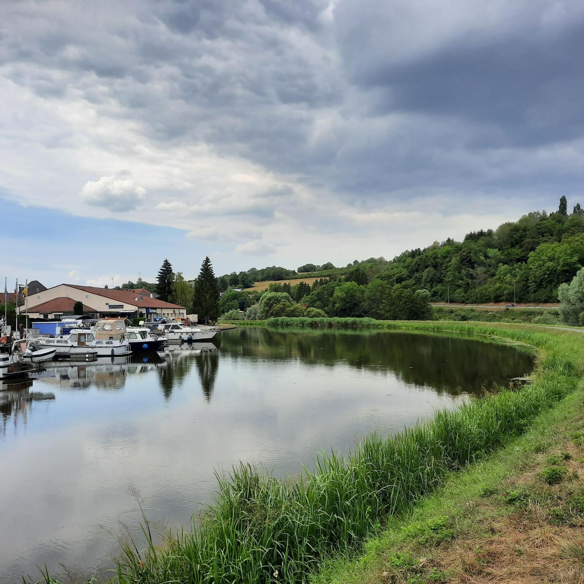
The Saar is getting "younger". On the left hand side the river and on the right hand the canal.
3
0

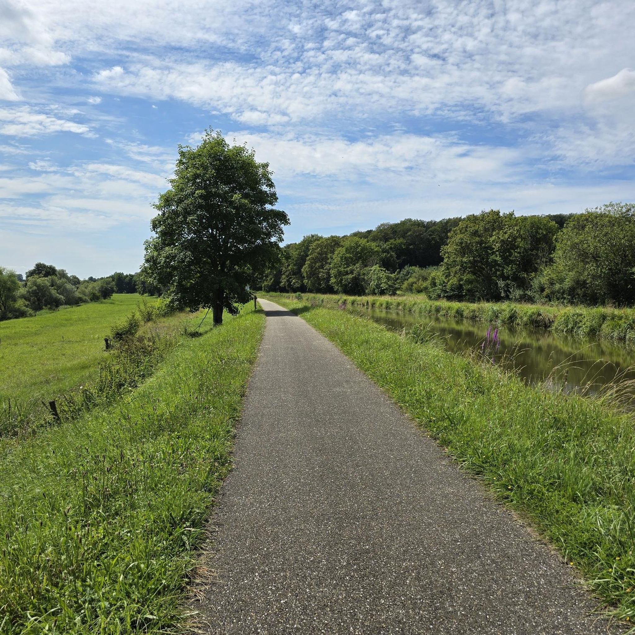
cycling along the Saar-Coal Canal with a view of the Saar. Nice here!
3
0

Beautiful valley where the Saar River and the canal flow right next to each other.
3
0

The Saar coal mine canal owes its name to its origins. It was created to transport coal from the Saarbrücken deposit. It joins the Marne-Rhine canal at Gondrexange. These two canals are now bordered by the EuroVelo 5 cycle path.
4
0

Nice branch from the Saar Canal over the fields and into the forest
0
0

The Casemate de Wittring is a component of the Maginot Line fortifications in northeastern France. It is located in the Fortified Sector of the Sarre section of the line and was associated with Ouvrage Haut-Poirier, a petit ouvrage of the main Line. Wittring has been restored and is operated as a museum. The casemate was armed with a machine gun/anti-tank gun embrasure (JM/AC47), one twin machine gun embrasure, two mixed-arms cloches (AM) and two automatic rifle (GFM-B) cloches.[1] Wittring controlled access to dikes and floodgates in the area that were intended to inundate portions of the Sarre valley to block an invasion from Germany.The commander of the casemate in 1940 was Adjutant-Chef Hillaire, in charge of an element of the 133rd Fortress Infantry Regiment (RIF).[2] The Casernement d'Achen provided peacetime above-ground barracks and support services to Wittring and other positions in the area Source: https://de.wikipedia.org/wiki/Casemate_de_Wittring
0
0

The Saar Canal (formerly: Saar-Kohlen-Kanal, French Canal des Houillères de la Sarre) is a shipping canal that runs in the French region of Grand Est. As is generally the case with the French canal network, the Saar Canal was also a prerequisite for a much-frequented cycle path. The towpath next to the canal has been expanded into a mostly well-paved cycle path in recent years with funds from the European Union, the regional council and the municipalities.
6
1

You are on the towpath exactly between the Saar-Kohle Canal and the much deeper-flowing Saar. An interesting level comparison.
6
0
Frequently Asked Questions
How many hiking trails are available around Kalhausen?
Kalhausen offers a wide variety of hiking experiences, with nearly 300 routes available. These range from easy strolls to more challenging treks, ensuring options for all fitness levels.
What makes hiking in Kalhausen unique?
The unique landscape of Kalhausen is defined by the parallel flow of the Saar River and the Houillères Canal through a lush valley. This creates a distinctive riparian environment, with many trails following these tranquil waterways, offering scenic views and a blend of forest and open countryside.
Are there easy hiking trails suitable for beginners or families?
Yes, Kalhausen has over 130 easy routes. For a pleasant, shorter option, consider the Ouvrage Haut-Poirier loop from Achen, which is an easy 3.4 km trail. Another accessible choice is the Saar – Canal Bridge loop from Wittring, covering 7.5 km along the waterways.
What kind of natural features can I expect to see on the trails?
You'll encounter diverse natural features, primarily the Saar River and the Houillères Canal, which create a serene waterside environment. The trails also lead through lush forests and open countryside, with elevations varying from 203 to 331 meters, providing varied terrain and picturesque views.
Are there any circular hiking routes in Kalhausen?
Yes, many trails in Kalhausen are designed as loops. For a moderate circular hike, the Stop air – Mown Forest Trail loop from Achen is a popular choice, leading through forests and open landscapes over 12.5 km.
What do other hikers say about the trails in Kalhausen?
The hiking routes in Kalhausen are highly regarded by the komoot community, holding an average rating of 4.5 stars from over 500 reviews. Hikers often praise the well-maintained paths, the peaceful atmosphere along the waterways, and the diverse scenery.
Are there any historical or cultural landmarks to explore near the hiking trails?
Yes, the region offers several points of interest. You can explore the Sarreguemines Riverside Promenade or visit the Blies Mill (Moulin de la Blies) in Sarreguemines. The Saar Coal Canal at Dieding is also a notable feature, reflecting the area's industrial heritage.
Is Kalhausen a dog-friendly hiking destination?
Kalhausen's natural environment, with its numerous trails through forests and along waterways, is generally welcoming for dogs. Many routes offer ample space for pets to enjoy the outdoors. However, it's always advisable to keep dogs on a leash, especially in areas with wildlife or near agricultural land.
What is the best time of year to go hiking in Kalhausen?
The diverse landscapes of Kalhausen are enjoyable throughout much of the year. Spring brings lush greenery and blooming flora, while autumn offers vibrant fall colors. Summer is ideal for longer days and warmer weather, perfect for exploring the riverside and canal paths. Winter can also be beautiful, though some paths might be less accessible depending on conditions.
Are there options for longer, more challenging hikes?
Yes, for those seeking a longer and moderately challenging experience, the Etting Church loop from Etting is an excellent choice. This 17.1 km trail features varied terrain and moderate elevation changes, typically taking around 4 hours 41 minutes to complete.
Can I find places to eat or stay near the hiking routes in Kalhausen?
While specific establishments aren't detailed for individual trailheads, the broader Kalhausen area and nearby towns offer options for dining and accommodation. The region is part of the Moselle department, which has various services for visitors. It's recommended to check local listings for cafes, pubs, and hotels in Kalhausen or neighboring communities like Sarreguemines.
How accessible are the hiking trails by public transport?
Information on specific public transport links directly to trailheads is limited. However, Kalhausen is a commune in the Moselle department, and regional public transport services typically connect larger towns. For access to specific hiking routes, it's often more convenient to arrive by car, especially for trailheads located outside the main village centers.
Most popular routes around Kalhausen
Most popular attractions around Kalhausen

Get inspired with the komoot mobile app


Explore more
Browse the best Hikes in other regions.
