The best road cycling routes around Rahlingen
4.7
(143)
2,466
riders
262
rides
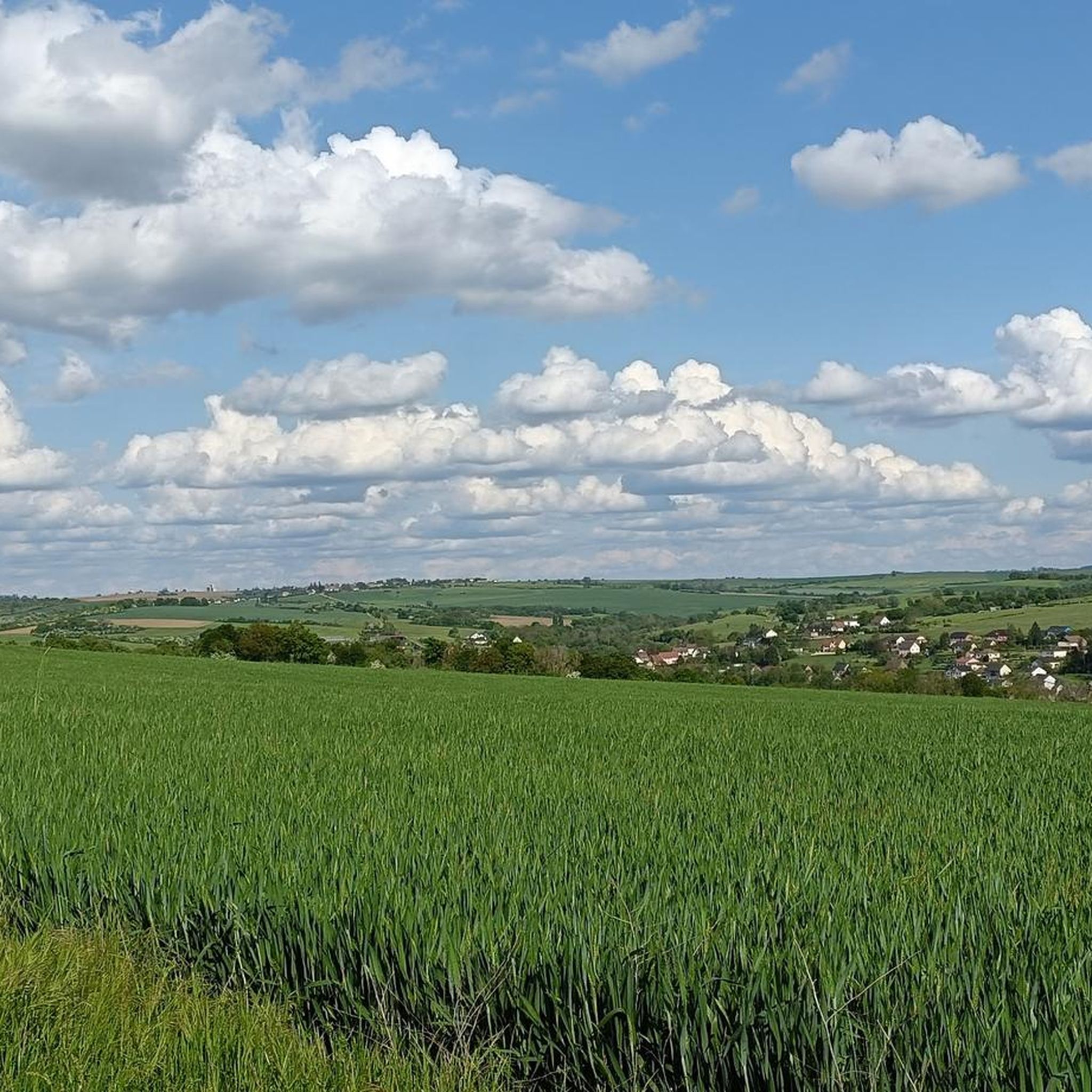
Road cycling routes around Rahlingen traverse a landscape characterized by rolling hills, agricultural fields, and forested sections. The region features a network of roads suitable for road bikes, often following river valleys and canal paths. Elevation gains are moderate, providing varied terrain for cyclists. Many routes are circular, offering diverse perspectives of the local area.
Best road cycling routes around Rahlingen
- The most popular road cycling route is Saar Coalfields Canal – Allée de Peupliers loop from Montbronn, a 46.5 miles (74.8 km) trail that takes 3 hours 5 minutes to complete. This route features a mix of canal-side riding and open country roads.
- Another top favourite among local road cyclists is Fitness trail loop from Rahlingen, a moderate 21.7 miles (34.9 km) path. This route offers a balanced ride through local terrain with some notable ascents.
- Local road cyclists also love the Wells – Breidenbach Valley loop from Montbronn, a 21.4 miles (34.5 km) trail leading through the Breidenbach Valley, often completed in about 1 hour 41 minutes.
- Road cycling around Rahlingen is defined by rolling hills, valley roads, and sections alongside canals. The network offers options for different ability levels, from moderate loops to longer distance road cycling trails Rahlingen.
- The routes in Rahlingen are highly rated by the komoot community with an average score of 4.8 stars from over 110 reviews. More than 2,000 road cyclists have used komoot to explore Rahlingen's varied terrain.
Last updated: July 8, 2026
5.0
(2)
10
riders
75.9km
03:06
440m
440m
Moderate road ride. Good fitness required. Mostly well-paved surfaces and easy to ride.
3.0
(1)
10
riders
33.3km
01:30
290m
290m
Moderate road ride. Great for any fitness level. Some segments of this route may be unpaved and difficult to ride.

Sign up for free
13
riders
34.5km
01:38
450m
450m
Moderate road ride. Good fitness required. Mostly well-paved surfaces and easy to ride.
7
riders
46.1km
02:03
430m
430m
Moderate road ride. Good fitness required. Mostly well-paved surfaces and easy to ride.
5
riders
33.5km
01:27
290m
290m
Easy road ride. Great for any fitness level. Mostly well-paved surfaces and easy to ride.
Get access to more routes and recommendations from other explorers.
Sign up for free
Already have an account?
Our route recommendations are based on thousands of hikes, rides, and runs completed by other people on komoot.
Start today with a free account
Your next adventure awaits.
Login or Signup

Tips from the Community

Boundary stone between the departments of Moselle and Bas-Rhin, also the old border between Alsace and Lorraine
0
0
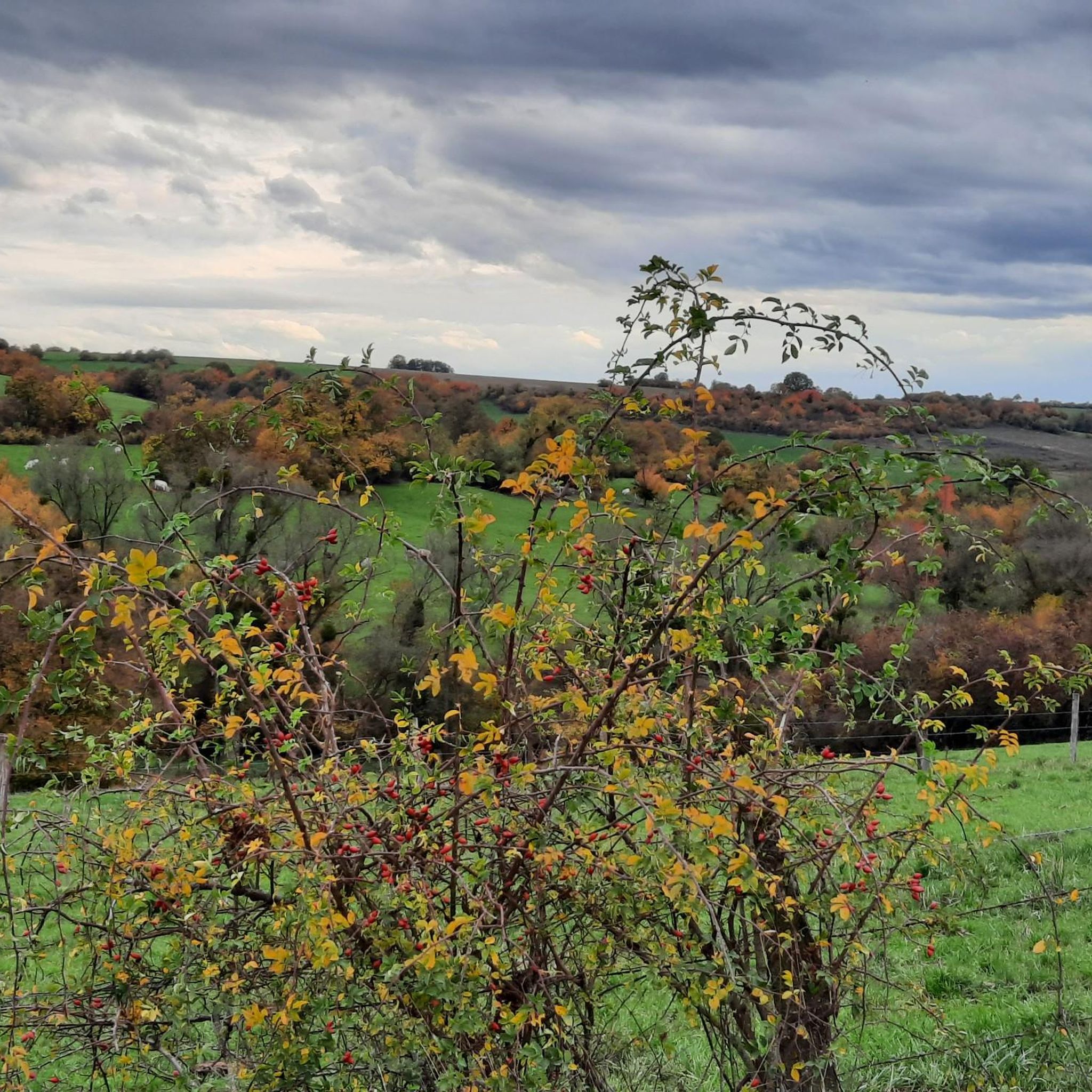
beautiful climb through the forest from Metschbrück to Montbronn
0
0

Accessible from various directions and/or accessible as a circular walk. The walk up the mountain is quite long.
0
0

On perfect asphalt through a beautiful valley, hardly any traffic 😊
1
0


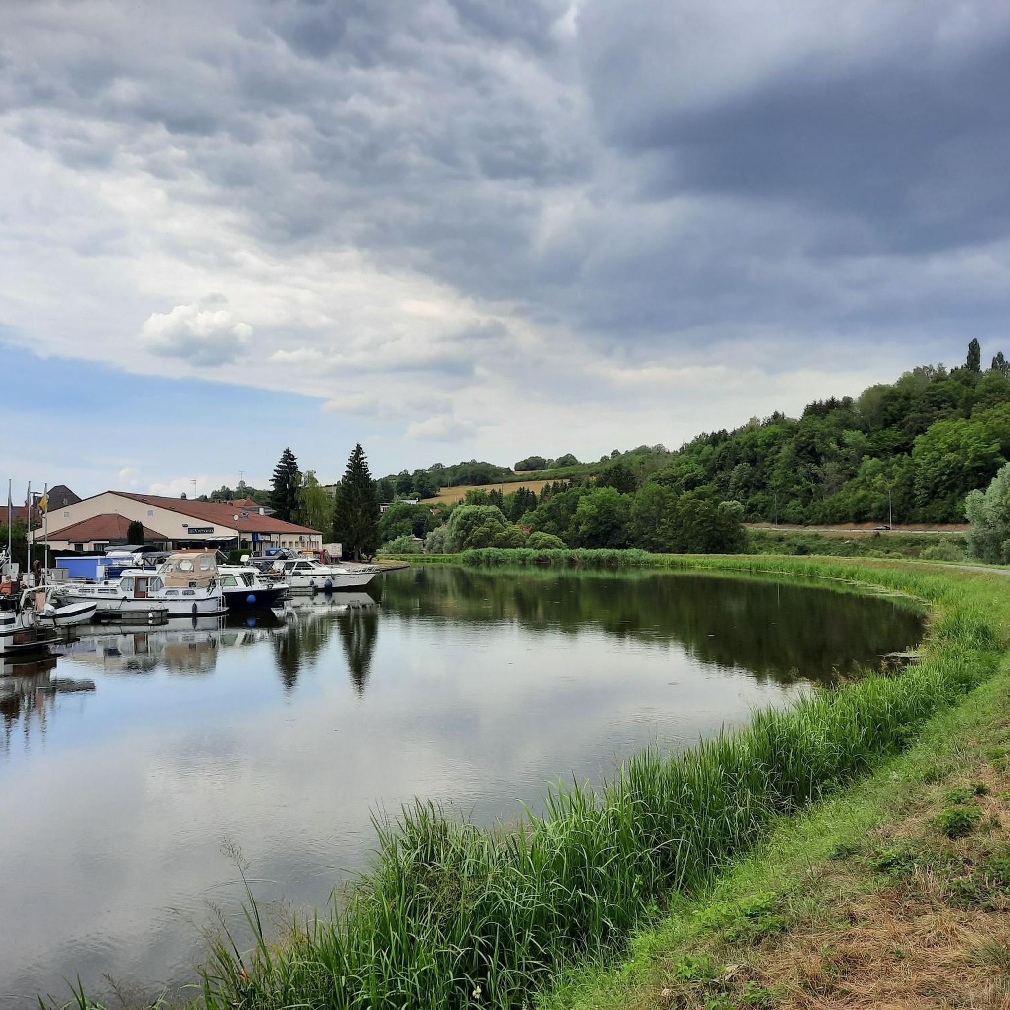
The Saar is getting "younger". On the left hand side the river and on the right hand the canal.
3
0

Wikipedia The Twelve Apostles Stone (French: Pierre des douze Apôtres; also Breitenstein, Latin: Petra lata) is a prehistoric menhir on the connecting road between Meisenthal, Mouterhouse (both in the Moselle department) and Wingen-sur-Moder (Bas-Rhin department) in the Northern Vosges Nature Park (Parc Naturel Régional des Vosges du Nord). Since the Middle Ages it has formed a border marker between Alsace and Lorraine. The monolith, carved from a single block of red sandstone, is about four meters high. Its history is unclear. It is believed that it is a cult stone from the Celtic ("druidic") period. In 1787 the upper part was designed as a crucifixion group (the crucified Christ with two Marys). A simple relief with the twelve apostles was carved out below.
1
0

cycling along the Saar-Coal Canal with a view of the Saar. Nice here!
3
0
Frequently Asked Questions
How many road cycling routes are available around Rahlingen?
There are over 250 road cycling routes around Rahlingen, offering a wide variety of options for different skill levels and preferences. You'll find everything from easy loops to more challenging long-distance rides.
What kind of terrain can I expect on road cycling routes near Rahlingen?
The road cycling routes around Rahlingen feature a diverse landscape of rolling hills, agricultural fields, and forested sections. Many paths follow scenic river valleys and canal paths, offering moderate elevation gains and varied terrain.
Are there road cycling routes suitable for beginners in Rahlingen?
Yes, Rahlingen offers several road cycling routes suitable for beginners. There are 24 easy routes available, providing gentle rides through the local landscape. These routes typically have less elevation gain and shorter distances.
Are there challenging road cycling routes for experienced riders near Rahlingen?
For experienced riders seeking a challenge, Rahlingen has 63 difficult road cycling routes. These routes often feature more significant ascents and longer distances, such as the Wells – Breidenbach Valley loop from Montbronn, which includes over 500 meters of elevation gain.
Can I find long-distance road cycling trails around Rahlingen?
Yes, Rahlingen offers several long-distance road cycling trails. A notable option is the Saar Coalfields Canal – Allée de Peupliers loop from Montbronn, which spans 46.5 miles (74.8 km) and combines canal-side riding with open country roads.
Are there circular road cycling routes in the Rahlingen area?
Many of the road cycling routes in Rahlingen are circular, allowing you to start and end at the same point while experiencing diverse perspectives of the local area. The Fitness trail loop from Rahling is a popular moderate circular route.
What are some scenic road cycling routes with viewpoints near Rahlingen?
While specific viewpoints are not always marked, routes that traverse rolling hills and forested sections, such as the Nassenwald (Montbronn) loop from Montbronn, often provide picturesque vistas of the surrounding agricultural fields and valleys. Routes along river and canal paths also offer tranquil, scenic views.
What can I see along the road cycling routes around Rahlingen?
Along the road cycling routes, you can explore various points of interest. Highlights include the historic Simserhof — Maginot Line fort, the serene Saar Coal Canal at Dieding, and the impressive Saint-Marcel Church of Zetting and the Sarre Canal. Natural monuments like the Monumental Pedunculate Oak are also accessible.
What is the best time of year for road cycling in Rahlingen?
The best time for road cycling in Rahlingen is typically from spring through autumn. During these seasons, the weather is generally mild, and the natural landscape is at its most vibrant. Spring offers fresh greenery, while autumn provides beautiful foliage.
Are there road cycling routes with cafe stops or places to rest?
Many routes in the Rahlingen area pass through or near small towns and villages where you can find cafes, bakeries, or restaurants for a refreshing stop. While not explicitly listed for every route, the local infrastructure generally supports convenient breaks.
What do other road cyclists enjoy most about road cycling in Rahlingen?
The road cycling experience in Rahlingen is highly rated by the komoot community, with an average score of 4.8 stars from over 110 reviews. Cyclists often praise the varied terrain, the mix of canal-side riding and open country roads, and the well-maintained network of paths.
Are there any hidden gem road bike loops near Rahlingen?
While many routes are well-known, exploring the numerous moderate loops, such as the Guising – Bettviller loop from Montbronn, can lead you to quieter roads and less-traveled paths, offering a sense of discovery through the region's charming villages and natural beauty.
Most popular attractions around Rahlingen

Get inspired with the komoot mobile app


Explore more
Browse the best Road cycling routes in other regions.
