Top 14 Mountain Passes around La Roche-Sur-Le-Buis
Mountain passes around La Roche-Sur-Le-Buis are situated in the Drôme region, offering diverse terrain for outdoor activities. The area is characterized by its natural landscapes, including prominent peaks and valleys. Notable geographical features include Mont Ventoux, an isolated peak recognized for its distinct limestone summit and UNESCO Biosphere Reserve status. The region provides a variety of routes for cycling and hiking, ranging from challenging ascents to more moderate climbs.
Best mountain passes around La Roche-Sur-Le-Buis
- The most popular mountain pass…
Last updated: June 26, 2026
Mont Ventoux summit
Highlight • Summit
Translated by Google •
Tip by

Pass of Storms
Highlight • Mountain Pass
Translated by Google •
Tip by
Sign up now to discover places like this
Get recommendations on the best single tracks, peaks, & plenty of other exciting outdoor places.
Sign up for free
Mont Ventoux Ascent from Sault
Highlight (Segment) • Climb
Translated by Google •
Tip by

Col d'Ey
Highlight • Mountain Pass
Translated by Google •
Tip by
Fontaube Pass
Highlight • Mountain Pass
Translated by Google •
Tip by
Sign up for free to discover even more mountain passes around La Roche-Sur-Le-Buis.
Sign up for free
Already have an account?
Start today with a free account
Your next adventure awaits.
Login or Signup
Popular around La Roche-Sur-Le-Buis


Tips from the Community

A superb climb on smooth asphalt, even if it's not the most popular climb. Therefore, traffic is very light, which I personally find more important. Up to Chalet Reynard, you're surrounded by trees. Views are rare. Overall, the climb is very pleasant and suitable for those who want to take it easy.
2
0

Very welcome after the first climb, unfortunately only open during the season.
0
0


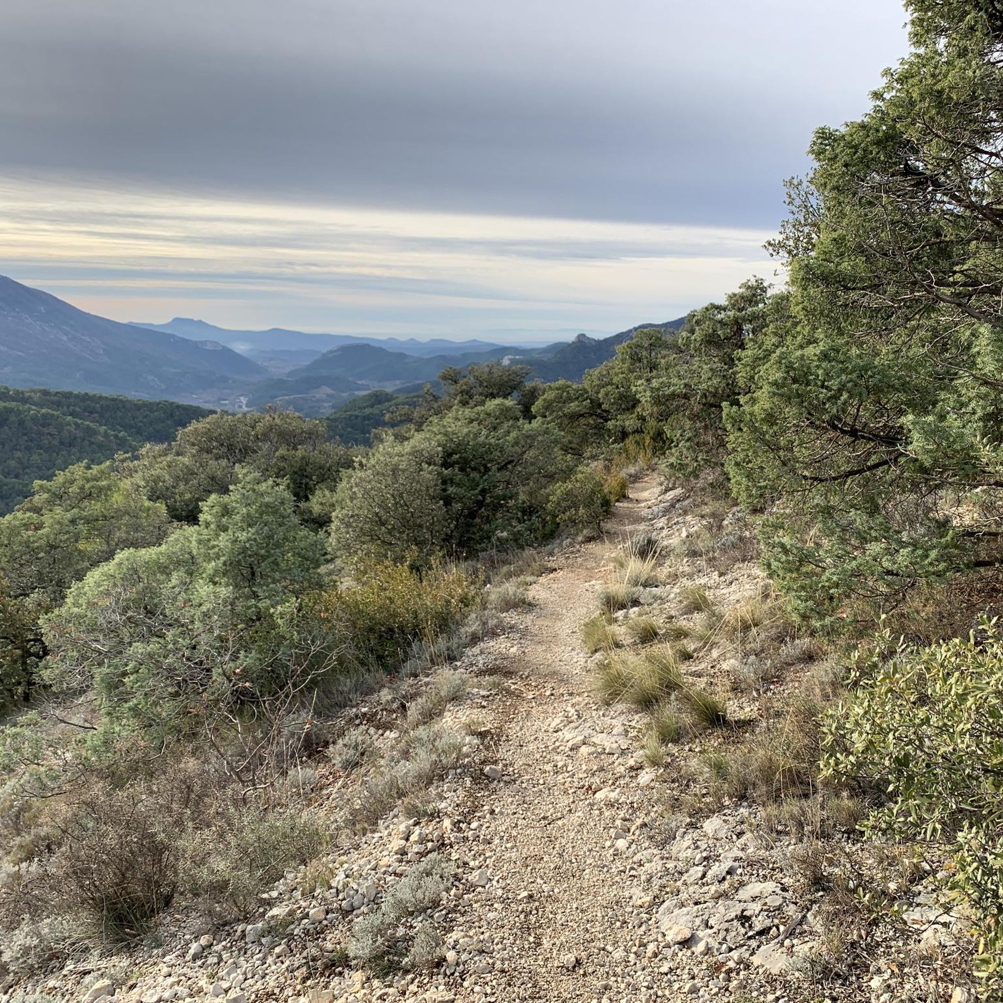
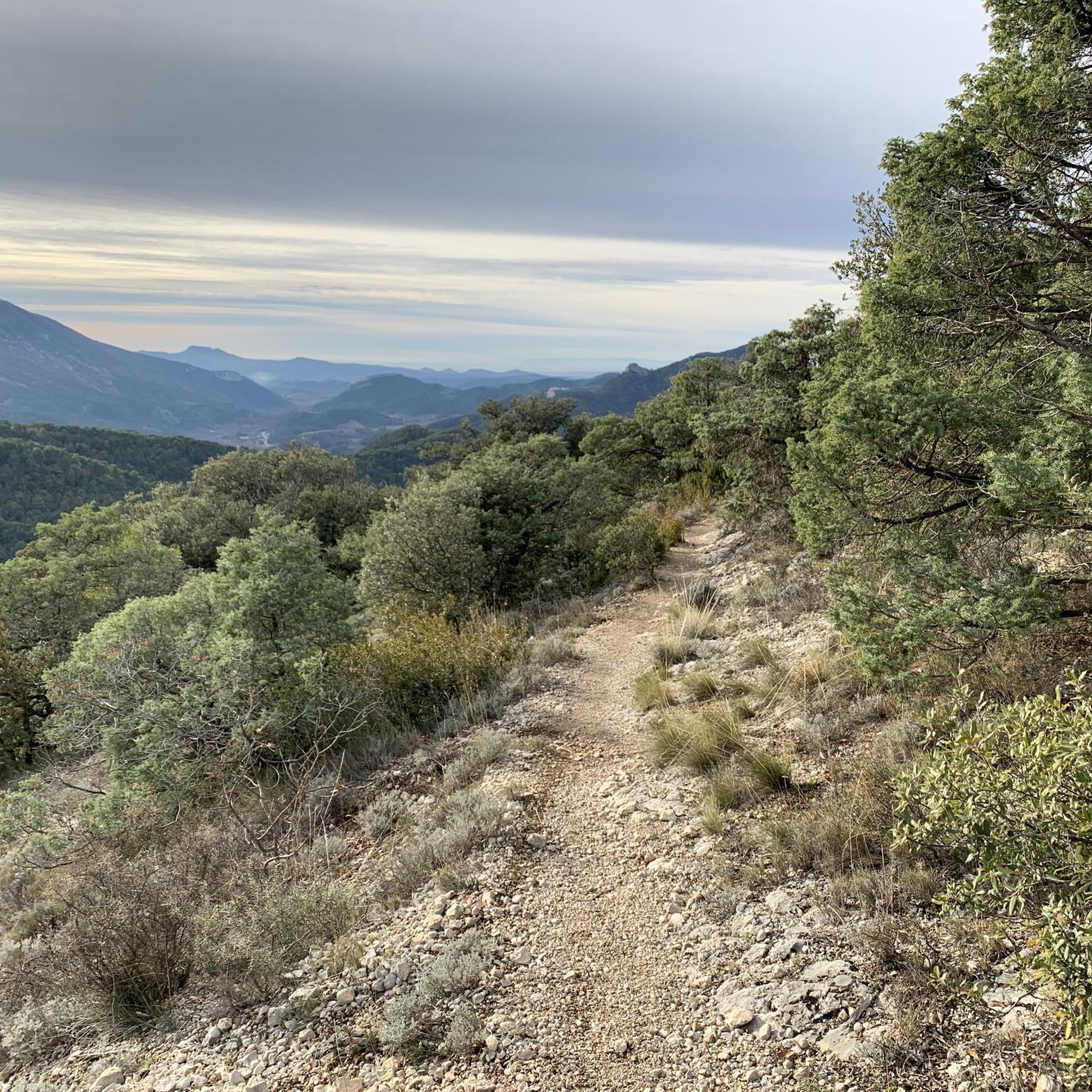
Located between Vaucluse and Drôme with incredible views of the Baronnies and Mont Ventoux.
1
0

The giant of Provence is incredibly full of character
6
0

Mont Ventoux from Sault is the easiest of the three access points to the Reynard Chalet. To the summit, the climb is 25.50 kilometers with an elevation gain of 1,145 meters. The average gradient is 4.49%. From Sault to the Reynard Chalet, the climb is 17.4 kilometers with an elevation gain of 705 meters. The average gradient is 4%. If you're going to attempt to climb all three sides of Mont Ventoux in one day, then this is the slope to tackle last.
4
3

It is on the square in front of the old summit observatory that most of the cyclists who climb Mont Ventoux meet because the sign “summit of Mont Ventoux 1,912 meters” is there and all the climbers of the whole world wants to take the famous photo. There is sometimes a queue. On this square are the Belvedere of Provence which offers views of the Albion plateau to the Mediterranean and the Belvedere of the Alps which opens onto the northern part. On a clear day, you can clearly see the department of Drôme, the Pre-Alps and the Alps. By climbing slightly to the base of the antenna, you will be able to read below written on the ground, in large figures, the new official measurement of the Giant of Provence by the IGN: 1,910 meters.
4
2
Frequently Asked Questions
What are some popular mountain passes around La Roche-Sur-Le-Buis?
The region features several popular mountain passes. The most iconic is the Mont Ventoux summit, known for its panoramic views and unique bare limestone landscape. Another notable pass is Col d'Ey, which offers exceptional views, including the north face of Mont Ventoux, and is accessible via quiet roads. The Pass of Storms, located near the summit of Mont Ventoux, is also a popular viewpoint.
What makes Mont Ventoux a significant mountain pass in the region?
Mont Ventoux, often called the 'Giant of Provence,' is significant due to its isolated peak, standing at 1,910 meters. It features a striking bare limestone summit, extreme winds, and is recognized as a UNESCO Biosphere Reserve for its diverse flora and fauna. It's also legendary in cycling, frequently featured in the Tour de France.
What kind of views can I expect from the mountain passes?
From the Mont Ventoux summit, you can enjoy incredible 360-degree views over the Rhône Valley, the Vaucluse plateau, and Drôme, with visibility extending to Marseille and even the Pyrenees on clear days. The Col d'Ey, despite its lower elevation, provides stunning panoramic views, notably of Mont Ventoux's north face.
What are the difficulty levels for cycling Mont Ventoux?
Mont Ventoux offers three main paved routes for cyclists, each with varying difficulty: the Bédoin ascent is the most famous and difficult (1,617m climb over 21.8 km, 7.43% average gradient); Malaucène is similar in difficulty (1,570m climb over 21.5 km); and Sault is the longest but gentlest (Mont Ventoux Ascent from Sault, 1,210m elevation gain over 26 km, 4.4% average gradient).
Are there easier mountain passes for beginners or casual cyclists?
Yes, the Col d'Ey is considered a moderate challenge, with ascents ranging from 5.2 to 7.2 kilometers and average gradients between 4.8% and 5.6%. Its quiet roads and picturesque scenery make it a pleasant experience for those seeking a less strenuous climb.
When is the best time to visit the mountain passes around La Roche-Sur-Le-Buis?
The best time to visit depends on your activity. For cycling and hiking, late spring to early autumn (May to October) generally offers the most favorable weather. Mont Ventoux's summit can have snow cover from December to April and is famously windy year-round. The Sault ascent of Mont Ventoux passes through lavender fields, which are in bloom during summer.
What outdoor activities can I do near the mountain passes around La Roche-Sur-Le-Buis?
Beyond cycling the famous passes, the area offers diverse outdoor activities. You can explore various hiking trails, including routes like the 'Castle ruins loop from La Roche-sur-le-Buis' or the 'View of Mont Ventoux – Col de Geine – Le Flou loop'. There are also numerous cycling routes and MTB trails for all skill levels.
Are there hiking trails near these mountain passes?
Yes, the region offers a variety of hiking trails. For instance, you can find routes like the 'Castle ruins loop from La Roche-sur-le-Buis' (moderate, 7.7 km) or the 'View of Mont Ventoux – Col de Geine – Le Flou loop' (moderate, 14.9 km). Many trails offer stunning views of the surrounding landscape and mountain passes. You can find more options in the Hiking around La Roche-Sur-Le-Buis guide.
What natural features are protected on Mont Ventoux?
Mont Ventoux is recognized for its biological distinctiveness and is designated a UNESCO Biosphere Reserve. This reserve protects 810 square kilometers of diverse flora and fauna, serving as an ecotone between northern and southern French ecosystems. The mountain's bare limestone summit is also a striking natural feature.
Are the mountain passes around La Roche-Sur-Le-Buis dog-friendly?
Many outdoor areas and trails around the mountain passes are dog-friendly, especially for hiking. However, it's always recommended to keep dogs on a leash, particularly in protected areas like the Mont Ventoux UNESCO Biosphere Reserve, to protect local wildlife. Ensure you carry enough water for your pet, especially during warmer months.
What are the weather conditions like on Mont Ventoux?
Mont Ventoux is famously windy, with the French word 'Venteux' meaning windy. Wind speeds at the summit can reach up to 320 km/h, blowing at over 90 km/h for approximately 240 days a year. Temperatures can also be significantly lower at the summit compared to the base, and snow cover typically lasts from December to April. Always check the forecast before ascending.
Are there other notable mountain passes in the area besides Mont Ventoux and Col d'Ey?
Yes, another significant pass is Col de Soubeyrand (994 m). It offers a demanding climb, particularly from Remuzat, with an average gradient of 6.94% over 7.7 km. While the summit itself is forested, the approaches offer very nice drives.
Most popular routes around La Roche-Sur-Le-Buis
Most popular attractions around La Roche-Sur-Le-Buis

Get inspired with the komoot mobile app


Explore more
See even more epic mountain passes by checking out these guides around La Roche-Sur-Le-Buis:
