The best running trails around La Rochette-Du-Buis
4.5
(14)
737
runners
55
runs
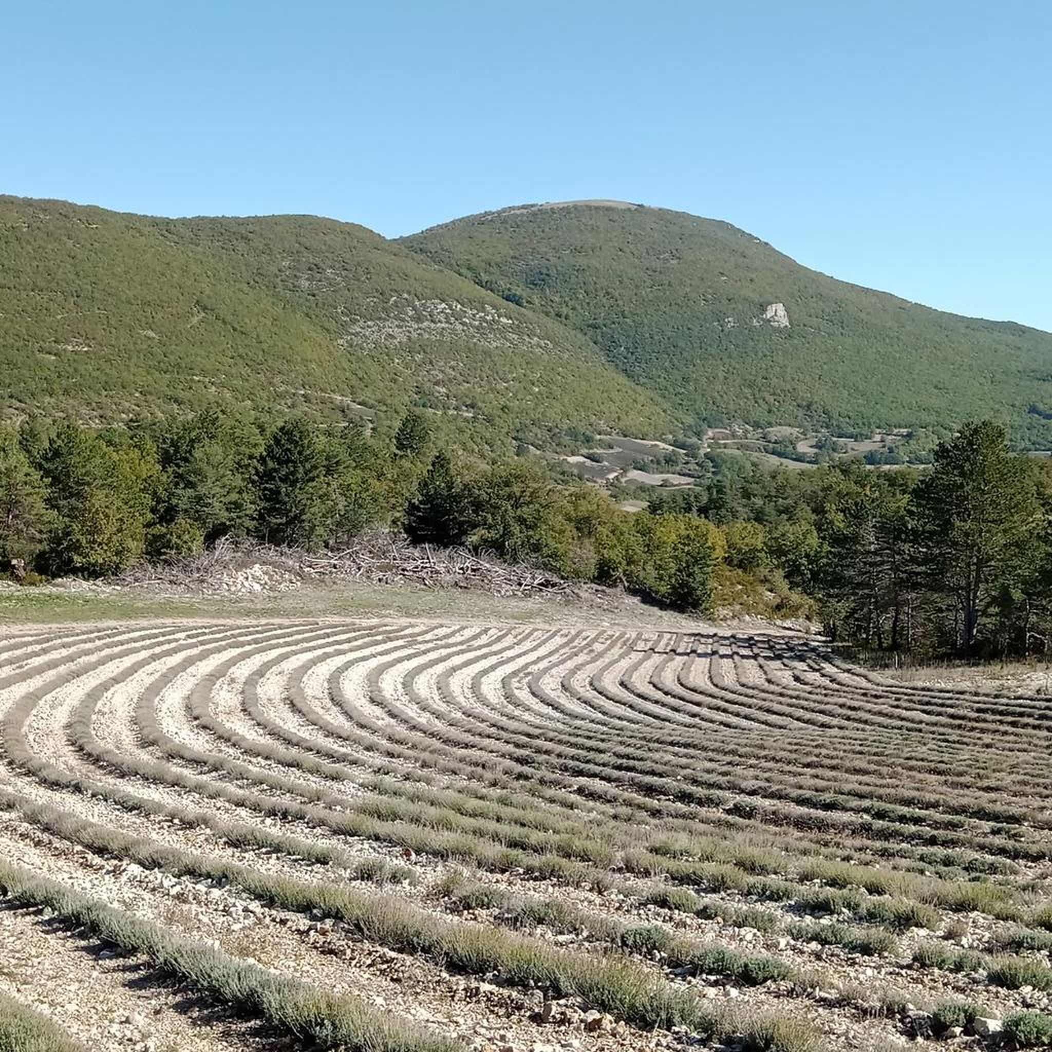
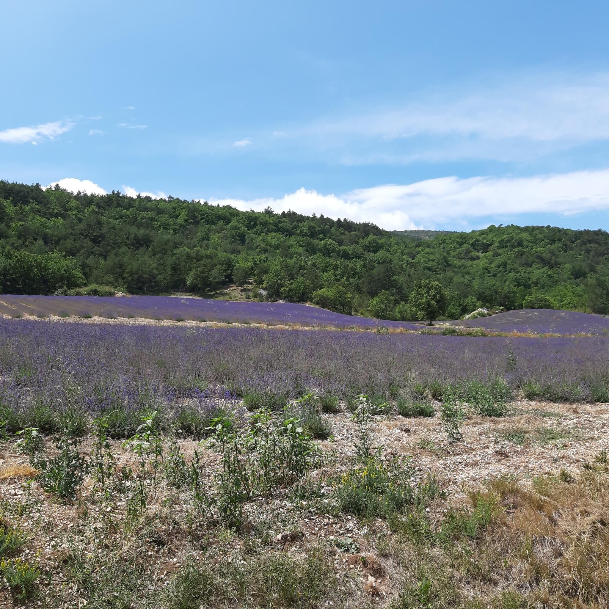
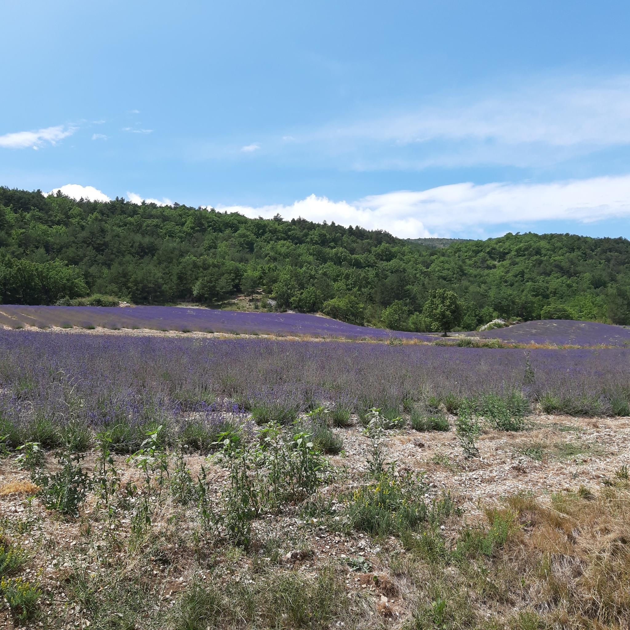
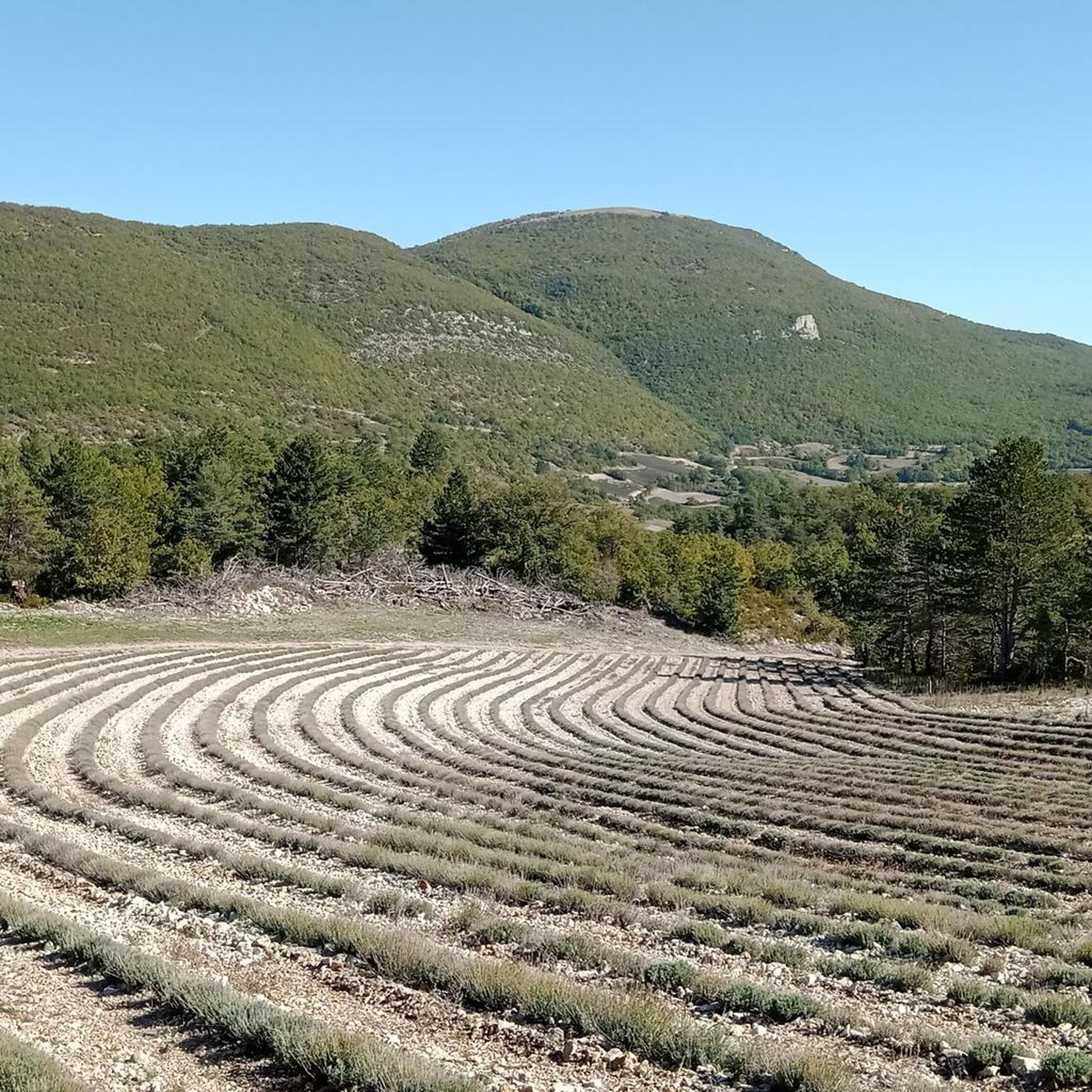
Jogging routes around La Rochette-Du-Buis traverse the diverse landscapes of the Drôme Provençale region in southeastern France. The area is characterized by a mix of hills, forests, and open fields, situated within the Regional Natural Park of Baronnies Provençales. Runners can expect varied terrain, including paths overlooking the Gorges du Charruis and routes leading through olive groves and towards higher elevations. This environment offers a range of running experiences from gentle paths to more challenging ascents.
Best jogging routes around…
Last updated: July 12, 2026
8
runners
38.2km
05:12
1,320m
1,320m
Hard run. Very good fitness required. Mostly paved surfaces. Suitable for all skill levels.
5.0
(1)
5
runners
9.83km
01:08
240m
240m
Moderate run. Good fitness required. Mostly paved surfaces. Suitable for all skill levels.

Sign up for free
7
runners
8.54km
01:12
300m
300m
Moderate run. Good fitness required. Mostly paved surfaces. Suitable for all skill levels.
7
runners
9.34km
01:03
260m
260m
Moderate run. Good fitness required. Mostly paved surfaces. Suitable for all skill levels.
5.0
(1)
4
runners
10.0km
01:21
400m
400m
Hard run. Very good fitness required. Mostly paved surfaces. Suitable for all skill levels.
Get access to more routes and recommendations from other explorers.
Sign up for free
Already have an account?
Our route recommendations are based on thousands of hikes, rides, and runs completed by other people on komoot.
Start today with a free account
Your next adventure awaits.
Login or Signup
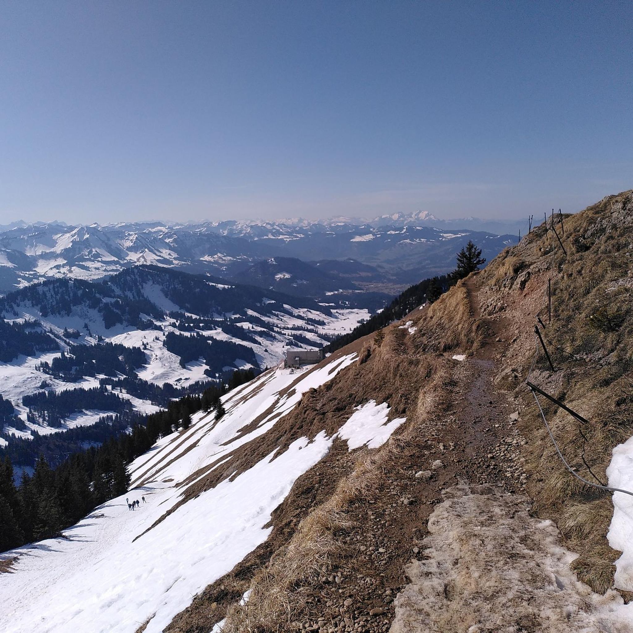
Tips from the Community

For cyclists it's a climb: * Length: approx. 7 km * Elevation gain: approx. 320 m * Average gradient: 4.6% * Maximum gradient: approx. 5%
5
0
The Col de Peyruergue (794 m) is a pass located in the Drôme department, within the Parc naturel régional des Baronnies provençales. It connects the Ennuye valley with that of the Ouvèze, near Saint-Sauveur-Gouvernet.
6
0
Col de Perty is located in the Baronnies Provençales massif, in the Drôme department, in the Auvergne-Rhône-Alpes region, in the southeast of France. It reaches an altitude of 1,302 m and connects the Ouvèze valley with the Orpierre area, in the Hautes-Alpes.
11
0

Moderate gradient, beautiful views, and a wonderful descent towards St. Auban sur Ouveze
0
1


This old stone bridge spans the Alauzon and offers a breathtaking view of the gorges. The path is accessible by gravel bike.
0
0

From the summit of Arsuc (1460m), a breathtaking view awaits you.
0
0
The Col de Percy culminates at 1,302 meters above sea level. It offers you a panorama of the surrounding mountains and Mont Ventoux. You can park your car here, if necessary.
1
0
Frequently Asked Questions
How many running routes are available around La Rochette-Du-Buis?
There are over 60 running routes available around La Rochette-Du-Buis, offering a wide variety of options for joggers of all levels. These routes traverse the diverse landscapes of the Drôme Provençale region.
Are there running routes suitable for all skill levels in La Rochette-Du-Buis?
Yes, the area around La Rochette-Du-Buis offers running routes for all skill levels. While there is 1 easy route, you'll find 26 moderate routes and 34 difficult routes, ensuring options for both casual joggers and experienced trail runners seeking a challenge.
What kind of terrain can I expect on the running trails in La Rochette-Du-Buis?
The running trails in La Rochette-Du-Buis offer diverse terrain, typical of the Regional Natural Park of Baronnies Provençales. You can expect a mix of hills, forests, and open fields, with paths overlooking the scenic Gorges du Charruis, olive groves, and routes leading towards higher elevations and mountain passes like the Col de Fontaube.
Are there any circular running routes in the area?
Yes, many of the running routes around La Rochette-Du-Buis are circular. For example, the Alauzon Bridge loop from Alauzon is a moderate 6.3-mile (10.1 km) path that winds through scenic countryside, and the Col de Sanguinet loop from Le Poët-en-Percip offers varied terrain over 5.3 miles (8.5 km).
What are some notable landmarks or viewpoints I might encounter on a run?
Running routes in the region often feature stunning natural landmarks and viewpoints. You might pass by the Col de Fontaube, a scenic mountain pass, or enjoy expansive views of the Baronnies Provençales Regional Natural Park. The area also includes other passes like Macuègne Pass and Perty Pass, offering rewarding vistas.
Are there any long-distance running challenges available?
For those seeking a significant challenge, the Perty Pass – Chamouse Mountain loop from Saint-Auban-sur-l'Ouvèze is a difficult 23.7-mile (38.2 km) trail with substantial elevation gain, offering expansive views and a demanding experience for seasoned runners.
What do other runners say about the trails in La Rochette-Du-Buis?
The running routes in La Rochette-Du-Buis are highly rated by the komoot community, with an average score of 4.4 stars from over 10 reviews. Runners often praise the diverse topography, the beautiful natural park setting, and the variety of options for different ability levels.
Is there a dedicated trail running network in the region?
Yes, the broader region features the Espace Trail of Baronnies in Drôme Provençale, a dedicated network offering 19 signposted and safe circuits totaling 365 kilometers. These routes are specifically designed for trail running and jogging, providing structured ways to explore the natural beauty of the area.
Are there any moderate-difficulty running routes that offer good views?
Absolutely. The Le Poët-en-Percip loop from Le Maupas is a moderate 9.3-mile (15 km) route that provides scenic views and varied terrain. Another great option is the Alauzon Bridge loop from Alauzon, which offers a mix of shaded sections and open vistas.
What is the best time of year for running in La Rochette-Du-Buis?
The Drôme Provençale region generally offers pleasant conditions for running. Spring and autumn are often ideal, with milder temperatures and beautiful natural scenery. Summer can be warm, so early morning or late afternoon runs are recommended. The diverse terrain means some routes may be accessible year-round, depending on weather conditions.
Are there any running routes that pass through or near other charming villages?
Yes, many routes in the Drôme Provençale region allow runners to pass through or near quaint villages, adding a cultural element to your run. While specific routes are not detailed here, the extensive trail networks often connect these charming settlements, such as Montbrun-les-Bains or Brantes.
Most popular routes around La Rochette-Du-Buis
Most popular attractions around La Rochette-Du-Buis

Get inspired with the komoot mobile app


Explore more
Browse the best Running Trails & Routes in other regions.
