The best walks and hikes around Colombes
4.5
(1187)
16,509
hikers
15
hikes
Hiking around Colombes offers a network of trails primarily characterized by its location along the Seine River and numerous green spaces. The terrain is generally flat, with minimal elevation changes, making it suitable for leisurely walks and recreational activities. The area features picturesque parks, riverside paths, and greenways, providing a refreshing escape from the urban environment.
Best hiking trails around Colombes
- The most popular hiking route is A corner of nature – Small wild beach loop from Bezons, a…
Last updated: July 9, 2026
4.5
(6)
35
hikers
Moderate hike. Good fitness required. Easily-accessible paths. Suitable for all skill levels.
5.0
(1)
24
hikers
6.28km
01:36
20m
20m
Easy hike. Great for any fitness level. Easily-accessible paths. Suitable for all skill levels.

Sign up for free
4.7
(3)
30
hikers
4.47km
01:08
10m
10m
Easy hike. Great for any fitness level. Easily-accessible paths. Suitable for all skill levels.
5.0
(1)
22
hikers
15.3km
03:53
40m
40m
Moderate hike. Good fitness required. Easily-accessible paths. Suitable for all skill levels.
16
hikers
8.99km
02:16
20m
20m
Moderate hike. Good fitness required. Easily-accessible paths. Suitable for all skill levels.
Get access to more routes and recommendations from other explorers.
Sign up for free
Already have an account?
Our route recommendations are based on thousands of hikes, rides, and runs completed by other people on komoot.
Start today with a free account
Your next adventure awaits.
Login or Signup

Other adventures around Colombes

Tips from the Community

Located between the districts of Paris-La Défense and Nanterre, the Parc du Chemin-de-l'Ile gives pride of place to water. Its filtering basins, fed by the Seine, are omnipresent. The site also has the appearance of a landscaped park. The regular, mineral shapes of the basins gradually give way to meadows, to the winding banks of the counter-ditch, to isolated trees and hedges of various species. This park was designed so that visitors can relax in a place made up of lawns, pontoons by the water, large meadows where fauna and flora evolve without constraint, filtering basins, aquatic gardens, as well as family gardens. Children are not forgotten with three play areas.
1
0

Be careful of this heavy traffic, though.
2
0

Perfect for a little break or a snack on the banks of the Seine! You can even eat crepes and waffles there!
0
0

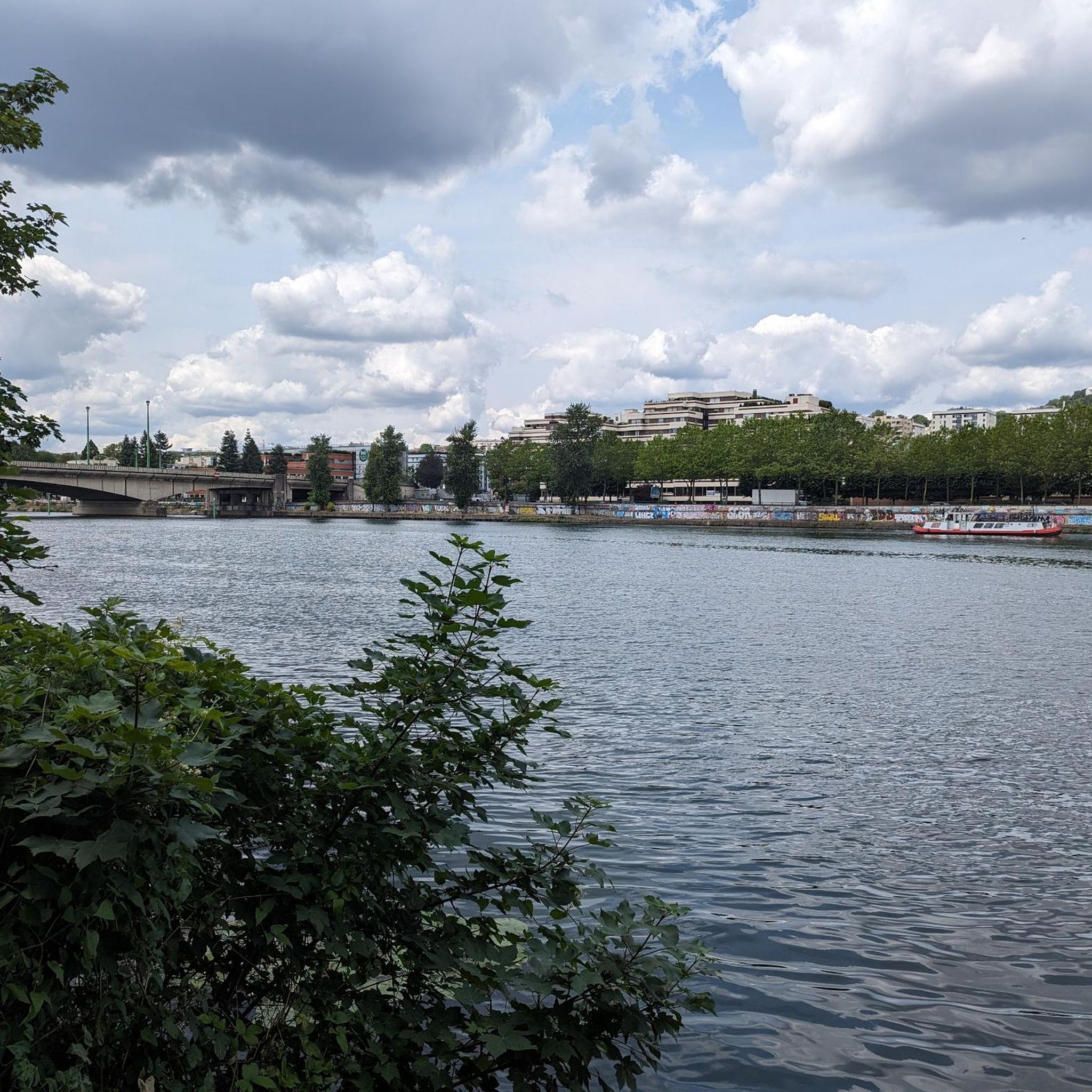
Why should you be interested in the Pont de Bezons? Key Infrastructure: The bridge is a crucial piece of transport infrastructure in the region, facilitating the connection between the municipalities of Bezons and La Garenne-Colombes. Regional Development: Its history and role in the economic and urban development of the region make it a point of interest for those interested in the evolution of infrastructure in Greater Paris. Accessibility: It offers convenient access for residents and visitors, and its location in a bustling urban area makes it a strategic location for transport. The Pont de Bezons is a key infrastructure in the Greater Paris region, playing a key role in facilitating travel between the municipalities of Bezons and La Garenne-Colombes while contributing to local economic development.
2
0
The Pont de Bezons is a bridge located on the Seine, connecting the commune of Bezons (in the Val-d'Oise department) to the city of La Garenne-Colombes, which is part of the Greater Paris metropolis. This bridge plays a crucial role in the connectivity between these two cities and facilitates travel in the region. Characteristics of the Pont de Bezons: Design and Structure: The Pont de Bezons is a steel girder bridge, built to allow the passage of vehicles, pedestrians and cyclists. Its functional design reflects the traffic needs between the two banks of the Seine in this urban area. History: The bridge was built in the 1960s and has since been an essential element of local infrastructure, facilitating transport and trade between Bezons and La Garenne-Colombes. Its construction contributed to the economic development of the region by improving access to the various urban areas. Function: The Pont de Bezons is mainly used for road traffic, but it is also accessible to pedestrians and cyclists. It plays a key role in the local transport network, particularly for journeys between neighbouring municipalities. Environment and Accessibility: The bridge is located in a dynamic urban area, surrounded by residential and commercial districts. It is well integrated into the local road network, with direct access to main roads and public transport. Modernisation Projects: Like many urban infrastructures, the Pont de Bezons has benefited from various modernisation works over the years to improve its safety and capacity. These projects aim to adapt the bridge to the growing needs of urban traffic.
2
0
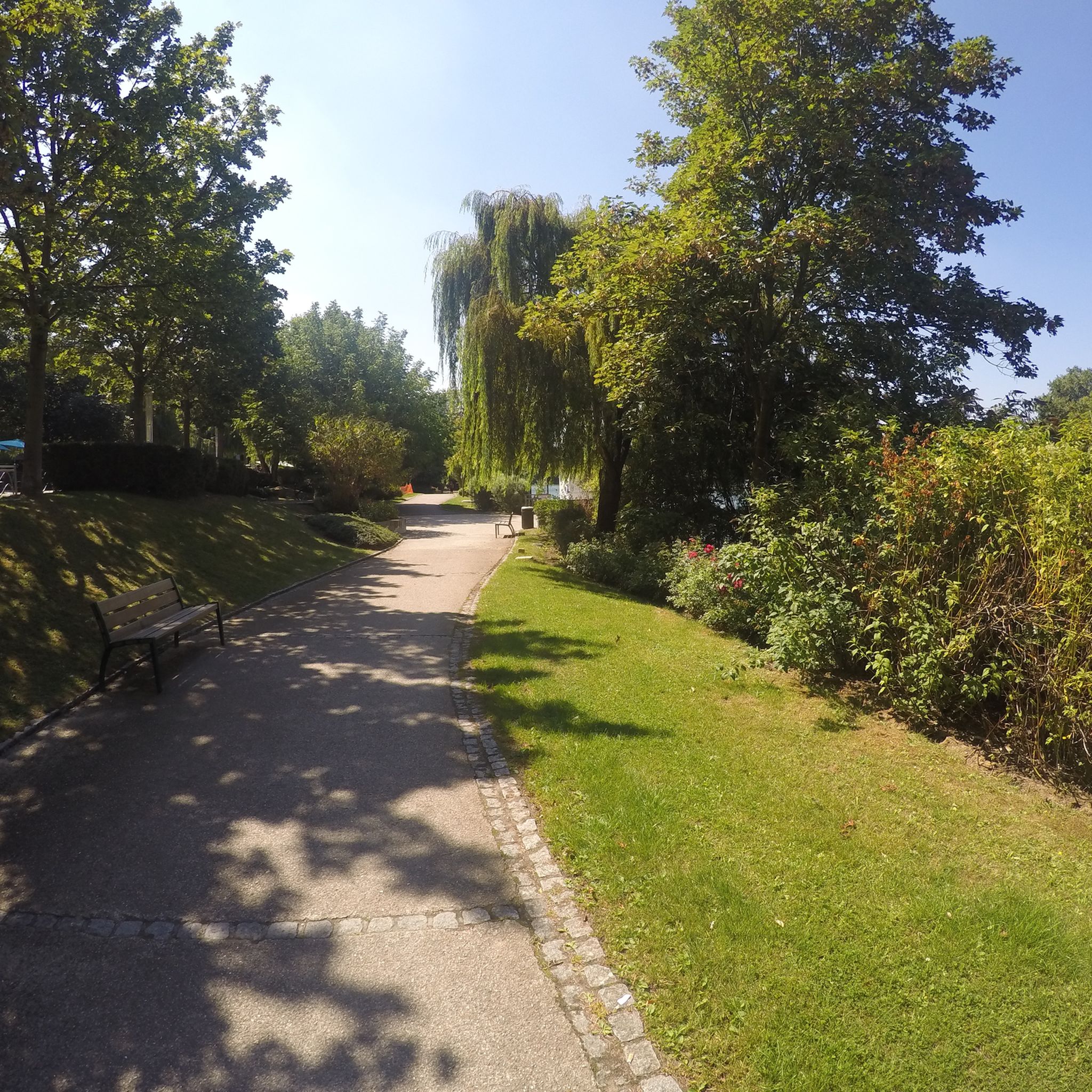
A little corner of bucolic nature near Colombes... for a peaceful stroll.
2
0

Avenue Verte cycle path which connects Paris <=> London
0
0
Frequently Asked Questions
How many hiking trails are available around Colombes, and what are their difficulty levels?
There are over 800 hiking routes available around Colombes. The majority are classified as easy, with approximately 500 easy routes, 300 moderate routes, and a smaller number of more challenging trails for experienced hikers.
Are there family-friendly hiking options in Colombes?
Yes, Colombes is well-suited for family outings. Many trails are easy and pass through expansive green spaces like Parc Lagravère, which features playgrounds and picnic areas. The riverside paths along the Seine also offer gentle, scenic walks perfect for families. A good example is the Coulée Verte loop from Colombes, which is an easy 3.9-mile route through green corridors.
Can I bring my dog on the hiking trails in Colombes?
Many of the parks and riverside paths in Colombes are dog-friendly, though it's generally required to keep dogs on a leash. Areas like Parc Lagravère and the Seine riverbanks are popular spots for walks with pets. Always check local signage for specific rules in designated areas.
Are there many circular hiking routes in Colombes?
Yes, many of the routes around Colombes are designed as circular paths, allowing you to start and end at the same point. For instance, the Coulée Verte loop from Colombes is a popular circular option, and the Chanteraines Lookout – Étang de Pêche loop from Les Agnettes also offers a pleasant round trip.
What interesting landmarks or attractions can I see while hiking around Colombes?
While hiking around Colombes, you can discover a blend of natural beauty and cultural sites. The nearby Île de la Jatte is famous for its Impressionist art connections and charming architecture. You might also encounter historical bridges like the Saint-Michel Bridge or the Alexandre III Bridge. For a unique natural feature, consider visiting the Grande Cascade of Saint-Cloud Park, a beautiful waterfall not far from Colombes.
Is parking available near the hiking trailheads in Colombes?
As Colombes is an urban area, parking availability can vary. Many larger parks, such as Parc Lagravère, often have designated parking areas. For routes starting in residential zones, street parking might be an option, but it's advisable to check local regulations or consider public transport.
How can I access hiking trails in Colombes using public transport?
Colombes is well-connected by public transport, making many trailheads accessible. The region's extensive network of buses, trams, and trains can take you close to various starting points, especially for routes along the Seine or within major parks. The 'Promenade Bleue' along the Seine is easily reachable from multiple points within Colombes and neighboring towns.
What do other hikers enjoy the most about hiking in Colombes?
The komoot community highly rates the hiking experience in Colombes, with an average score of 4.5 stars from over 1000 reviews. Hikers often praise the refreshing escape offered by the riverside paths, the tranquility of the green spaces, and the blend of natural and urban landscapes. The accessibility and generally flat terrain also make it enjoyable for a wide range of abilities.
Are there any longer, more challenging routes for experienced hikers near Colombes?
While Colombes is primarily known for leisurely walks, there are some longer, moderate routes that offer a greater challenge. For example, the A corner of nature – Notre Dame Church, Chatou loop from La Garenne-Colombes is a moderate 11.9-mile path featuring varied scenery, including urban green spaces and extended riverside sections, taking around 5 hours to complete.
What is the best time of year to go hiking in Colombes?
Colombes offers pleasant hiking conditions throughout much of the year. Spring and autumn provide mild temperatures and beautiful foliage, making them ideal for exploring the parks and riverside. Summer is also popular, especially for walks along the Seine, though it can be warmer. Winter walks are possible, offering a different, quieter perspective of the landscape, particularly in the green corridors.
Are there any routes that offer views of the Seine River?
Absolutely. Colombes is situated along the Seine, and many routes take advantage of its picturesque riverbanks. The 'Promenade Bleue' is a continuous path that traces the river from Colombes towards Rueil-Malmaison, offering serene views and a refreshing escape. The A corner of nature – Small wild beach loop from Bezons is an easy 4.5-mile trail that provides a pleasant stroll along the riverbanks.
Most popular attractions around Colombes

Get inspired with the komoot mobile app


Explore more
Browse the best Hikes in other regions.
