The best walks and hikes around Hurtières
4.5
(1103)
13,656
hikers
342
hikes
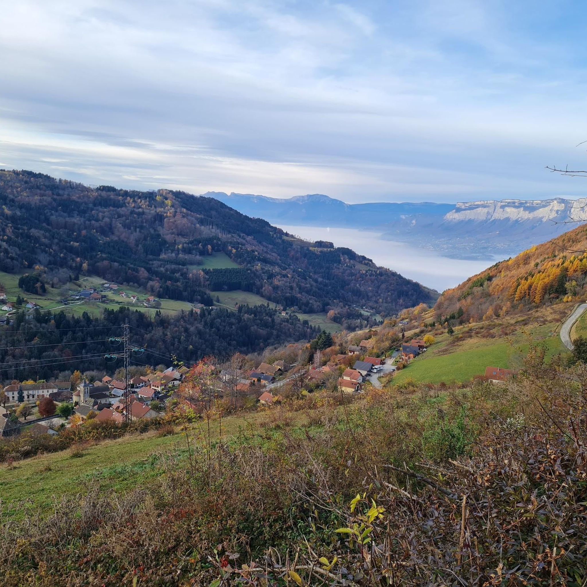
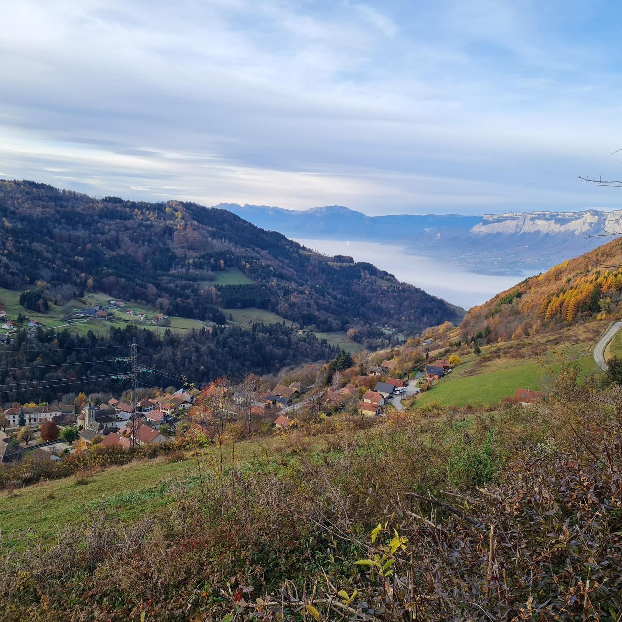
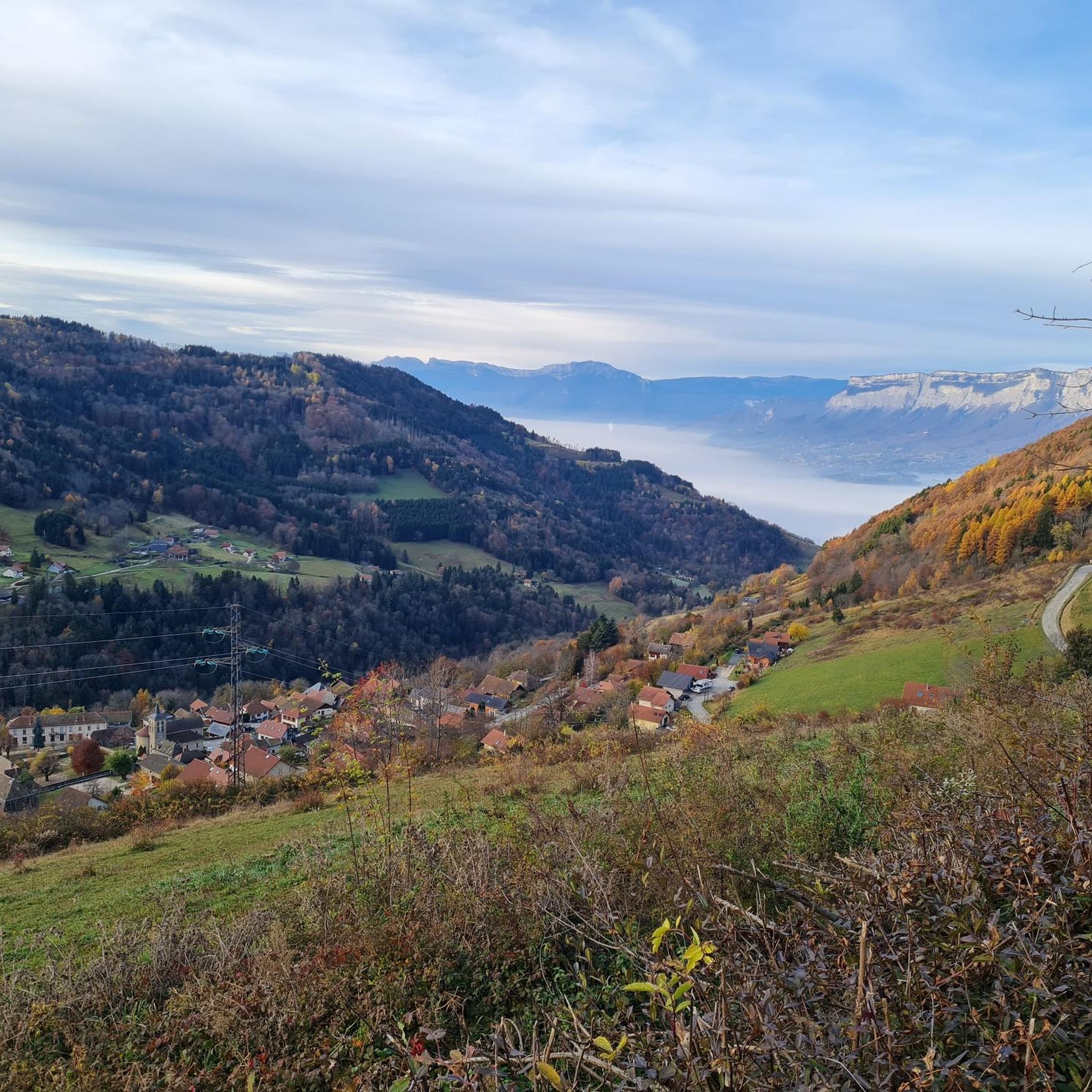
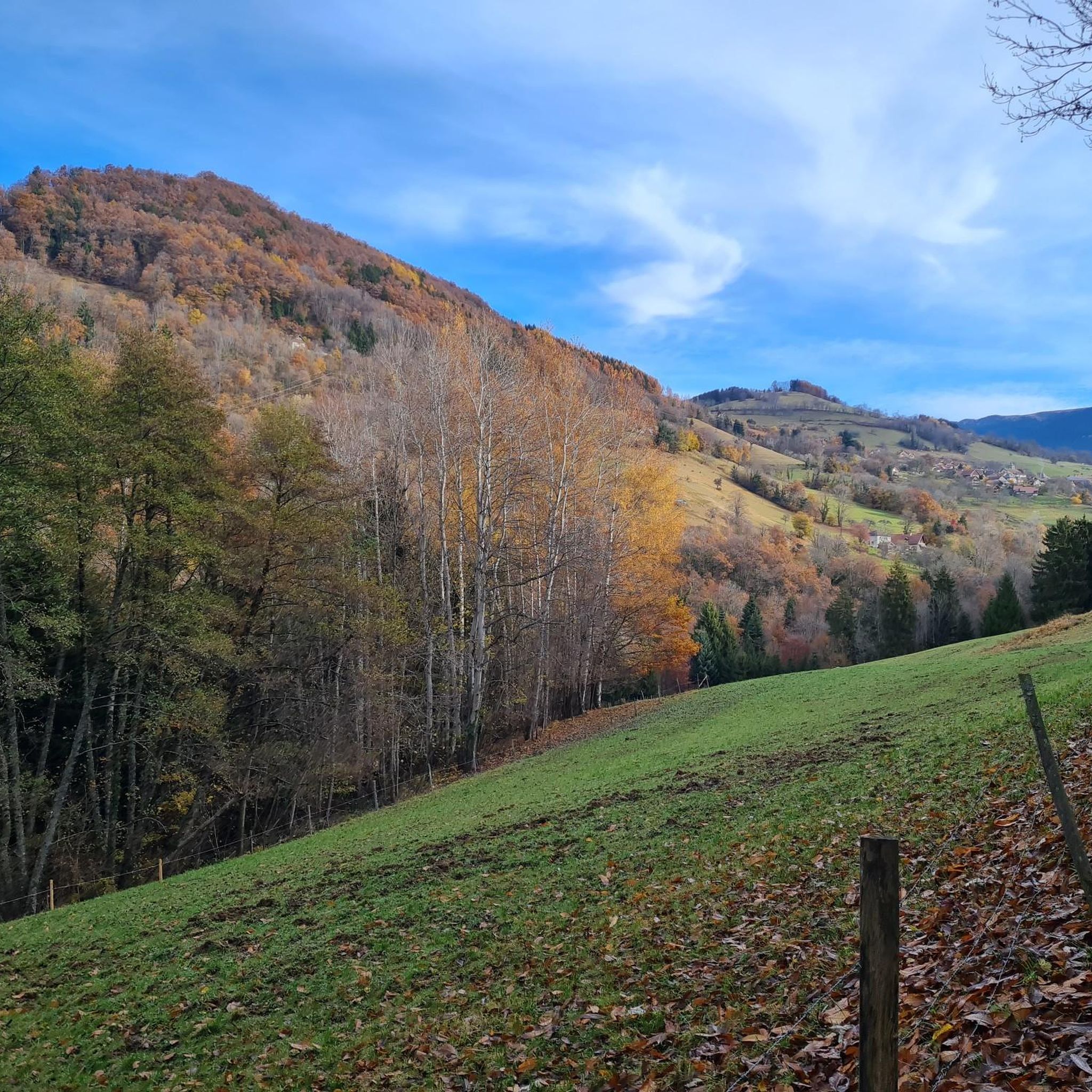
Hiking around Hurtières offers diverse landscapes at the northern end of the Belledonne Massif, providing a dramatic backdrop for trails. The region features significant natural assets like the Lac des Hurtières, a Natura 2000 site, and the Plaine des Hurtières, known for its delicate biodiversity. Varied vegetation and forests contribute to the scenic routes, with passes such as the Col des Ayes offering panoramic views.
Best hiking trails around Hurtières
- The most popular hiking route is Rte du Col des…
Last updated: July 1, 2026
5.0
(3)
18
hikers
8.31km
02:28
250m
250m
Moderate hike. Good fitness required. Easily-accessible paths. Suitable for all skill levels.
3.0
(1)
11
hikers
7.36km
02:07
190m
180m
Moderate hike. Good fitness required. Easily-accessible paths. Suitable for all skill levels.

Sign up for free
4.7
(3)
11
hikers
8.73km
02:44
330m
330m
Moderate hike. Good fitness required. Easily-accessible paths. Suitable for all skill levels.
4.5
(2)
8
hikers
12.8km
04:37
740m
740m
Moderate hike. Good fitness required. Mostly accessible paths. Sure-footedness required.
4
hikers
2.26km
00:40
60m
60m
Easy hike. Great for any fitness level. Easily-accessible paths. Suitable for all skill levels.
Get access to more routes and recommendations from other explorers.
Sign up for free
Already have an account?
Our route recommendations are based on thousands of hikes, rides, and runs completed by other people on komoot.
Start today with a free account
Your next adventure awaits.
Login or Signup


Tips from the Community

exceptional
1
0

Classic pass of the Balcons de Belledonne
0
0

A regular climb on the balconies of Belledonne. At the top, you can continue to the ski resort of Les 7 Laux.
1
0

Small quiet pass coming from the south. Tencin side, it is much more severe. On the road to the balconies of Belledone. A must!
1
0

From TENCIN: 9.80 km for an average slope of 6.9% (13.0% max)
0
0

One of the many beautiful but steep climbs in the Belledonne Area. Great descent to Theys. Camping Les 7 Laux is ideal to buy fresh drinks and cookies. Friendly owner.
2
0
Frequently Asked Questions
How many hiking trails are there in Hurtières?
Hurtières offers a wide variety of hiking experiences, with over 300 routes available. These range from easy, short loops to more physically demanding expeditions, catering to all skill levels.
Are there easy hiking trails suitable for beginners or casual walkers in Hurtières?
Yes, Hurtières has plenty of easy trails. There are 72 easy routes, including options like the Rte du Col des Ayes loop from Hurtières, which is 4.2 miles (6.8 km) and takes about 2 hours, or the shorter Chemin forestier loop from Les Adrets, just 2.3 km long.
What are the best options for family-friendly walks in Hurtières?
For families, the region offers trails designed to be easy and educational. The "Knights of Huile" trail near the Bourget-en-Huile and Pontet marshes is a great choice, providing information about the local environment. The Chemin forestier loop from Les Adrets is also a gentle option.
Are there any circular hiking routes in Hurtières?
Yes, Hurtières features several circular routes. A notable easy option is the Chemin de la Crête des Hurtières, just over 3 kilometers with minimal elevation gain, perfect for a relaxed walk. Other circular options include the popular Rte du Col des Ayes – Col des Ayes (944 m) loop from Hurtières.
What kind of natural features and landscapes can I expect to see while hiking in Hurtières?
Hurtières is set at the northern end of the Belledonne Massif, offering dramatic mountain backdrops. You'll encounter significant natural assets like the Lac des Hurtières, a Natura 2000 site, and the delicate biodiversity of the Plaine des Hurtières. Varied vegetation, forests, and passes like the Col des Ayes provide panoramic views of the surrounding mountains, including the Lauzière massif.
What are some challenging hiking routes for experienced hikers in Hurtières?
For experienced hikers, routes to peaks like the Pointe de Rognier (2,341m) offer considerable elevation gain and breathtaking vistas. These ascents provide sweeping, 360-degree panoramic views of the surrounding mountains. There are 92 difficult routes in the region to explore.
What do other hikers enjoy the most about hiking in Hurtières?
The area is highly rated by the komoot community, with an average score of 4.4 stars from over 1000 reviews. Hikers often praise the diverse landscapes, the dramatic backdrop of the Belledonne Massif, and the panoramic views from passes like the Col des Ayes.
Are there any interesting landmarks or attractions to see near the hiking trails?
Yes, Hurtières offers historical and natural points of interest. Along the Chemin de la Crête des Hurtières, you can explore historical sites such as the Fort de Montgilbert and the Batterie de Roche-Brune. The Lac des Hurtières itself is a Natura 2000 site with a dedicated discovery trail. You can also explore mountain passes like Col du Coq or Bellefont Pass.
Can I bring my dog on the hiking trails in Hurtières?
While many trails in natural areas are dog-friendly, it's always recommended to check specific trail regulations, especially within protected areas like the Natura 2000 site around Lac des Hurtières, where leashes might be required to protect local wildlife and delicate ecosystems.
Are there places to stay overnight for longer treks in Hurtières?
Yes, for those embarking on longer treks, non-guarded chalets are available for shelter. You can find these at La Jasse (1600m) and L'Arbaretan (1810m), providing convenient stops along your journey.
What is the best time of year to go hiking in Hurtières?
The region offers hiking opportunities throughout much of the year. Spring and autumn provide pleasant temperatures and vibrant scenery. Summer is ideal for enjoying the Lac des Hurtières with supervised swimming, while some higher routes might be accessible for winter hiking, though conditions should be checked carefully.
Are there any trails that offer scenic viewpoints in Hurtières?
Absolutely. The Belledonne Massif provides numerous opportunities for breathtaking views. From peaks and ridges like the Pointe de Rognier, you can enjoy sweeping, 360-degree panoramic views. Passes such as the Col des Ayes and the Col du Grand Cucheron also offer unobstructed views, particularly of the Lauzière massif.
Most popular routes around Hurtières
Most popular attractions around Hurtières

Get inspired with the komoot mobile app


Explore more
Browse the best Hikes in other regions.
