The best walks and hikes around Biblisheim
4.3
(512)
2,964
hikers
184
hikes
Hiking around Biblisheim offers trails through the gentle landscapes of the Alsace region, characterized by rolling hills, agricultural fields, and sections of woodland. The area features historical sites and riverine paths, providing varied scenery for outdoor exploration. Elevations are generally modest, making many routes accessible for different fitness levels.
Best hiking trails around Biblisheim
- The most popular hiking route is View of Woerth – Elsasshausen Memorial Tower loop from Morsbronn-les-Bains, a 7.4 miles (11.9 km) trail that takes 3…
Last updated: July 5, 2026
4.3
(3)
13
hikers
13.8km
03:34
70m
70m
Moderate hike. Good fitness required. Easily-accessible paths. Suitable for all skill levels.
5.0
(1)
10
hikers
4.43km
01:09
20m
20m
Easy hike. Great for any fitness level. Easily-accessible paths. Suitable for all skill levels.

Sign up for free
5
hikers
7.49km
01:56
40m
40m
Easy hike. Great for any fitness level. Easily-accessible paths. Suitable for all skill levels.
4.0
(1)
9
hikers
12.7km
03:18
90m
90m
Moderate hike. Good fitness required. Easily-accessible paths. Suitable for all skill levels.
5.0
(3)
3
hikers
9.65km
02:34
100m
100m
Moderate hike. Good fitness required. Easily-accessible paths. Suitable for all skill levels.
Get access to more routes and recommendations from other explorers.
Sign up for free
Already have an account?
Our route recommendations are based on thousands of hikes, rides, and runs completed by other people on komoot.
Start today with a free account
Your next adventure awaits.
Login or Signup

Tips from the Community

Here you can take a break
0
0

The Abbey Church of Sainte-Walburge is one of the architectural gems of the Grand Est region. It bears witness to nearly nine centuries of history. Founded in the 7th century, this imposing church boasts a Gothic style. Its interior features remarkable stained-glass windows. A former spiritual and cultural center, it remains a must-see for history and heritage enthusiasts. Nestled in a lush green setting, it invites contemplation and discovery.
1
0

This playground, located along the bike path, is the perfect place to take a break and let your children let off steam. It features play structures, a picnic area, and even a pétanque court.
0
0

beautiful forest lakes. Swimming and fishing are prohibited.
3
0

cycle path in the forest with very beautiful autumn light on the trees
0
0

The Benedictine monastery of Saint Walburga was founded at the turn of the 11th and 12th centuries and dissolved in 1790. Nothing of the original hermitage remains. All that remains of the early 12th-century church are the nave walls, made of quarried sandstone and without a visible foundation. Abbot Burkhard von Müllenheim had the brick choir rebuilt starting in 1456. https://de.wikipedia.org/wiki/Kloster_Sankt_Walburga_(Walbourg)
4
0

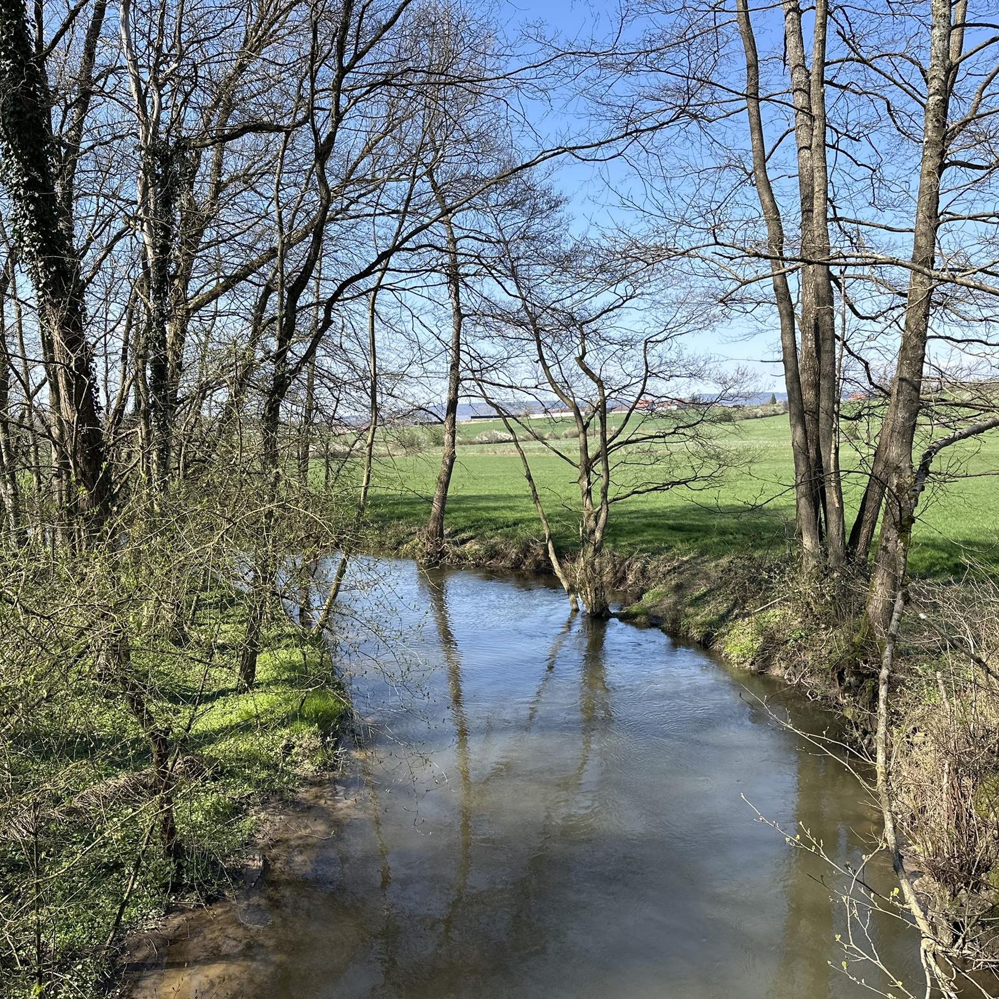
The view of the Sauer in Biblisheim when crossing the bridge.
1
0
Frequently Asked Questions
How many hiking trails are available around Biblisheim?
Biblisheim offers a wide selection of hiking opportunities, with over 160 trails recorded in the area. These routes cater to various preferences, ranging from easy strolls to more challenging excursions.
Are there easy hiking trails suitable for beginners or families in Biblisheim?
Yes, Biblisheim has a good number of easy trails. Approximately 75 routes are classified as easy, making them suitable for beginners or families. An example is the Gruendel Pond – Gruendel Pond loop from Walbourg, which is just over 4 km long and features minimal elevation gain.
What kind of landscapes can I expect to see while hiking in Biblisheim?
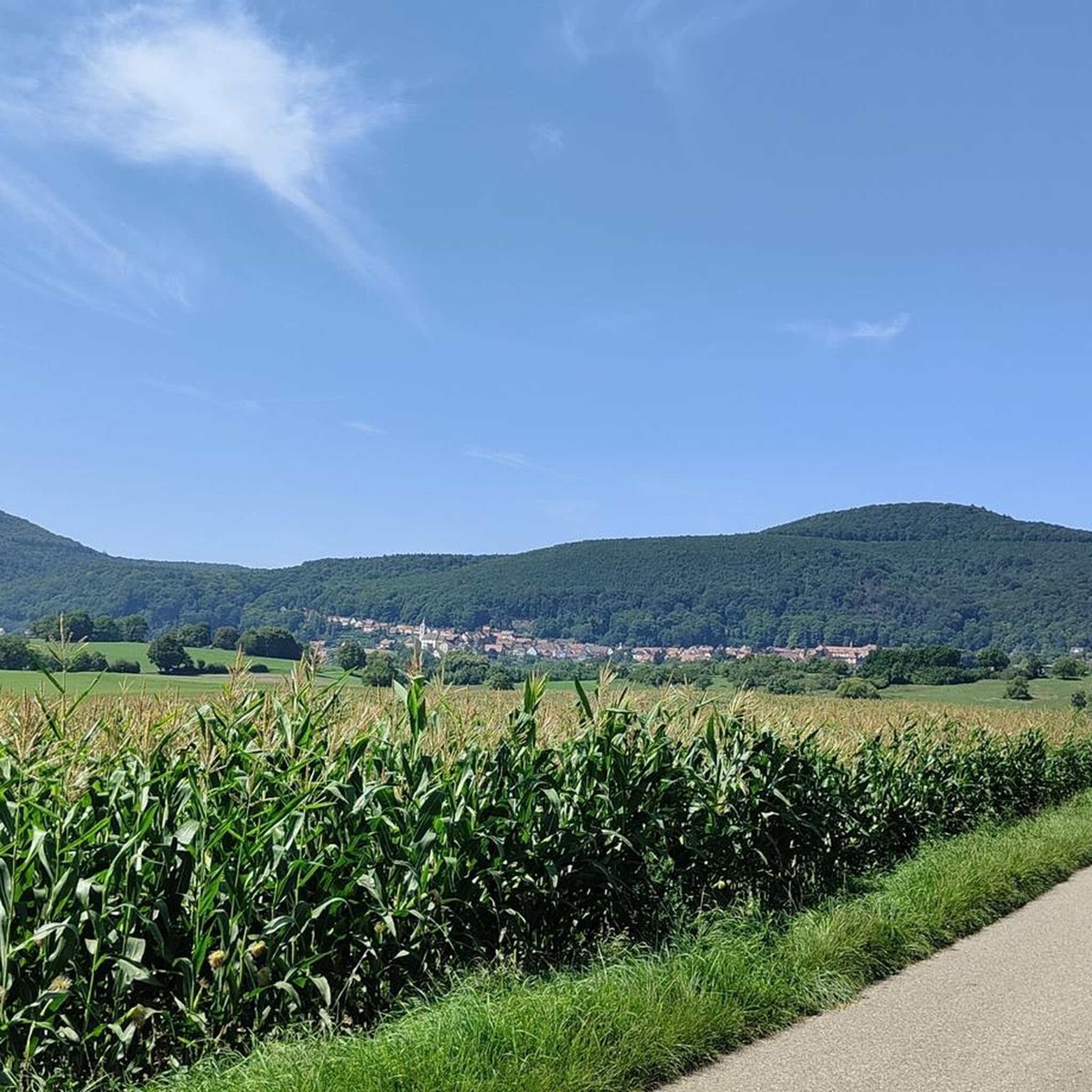
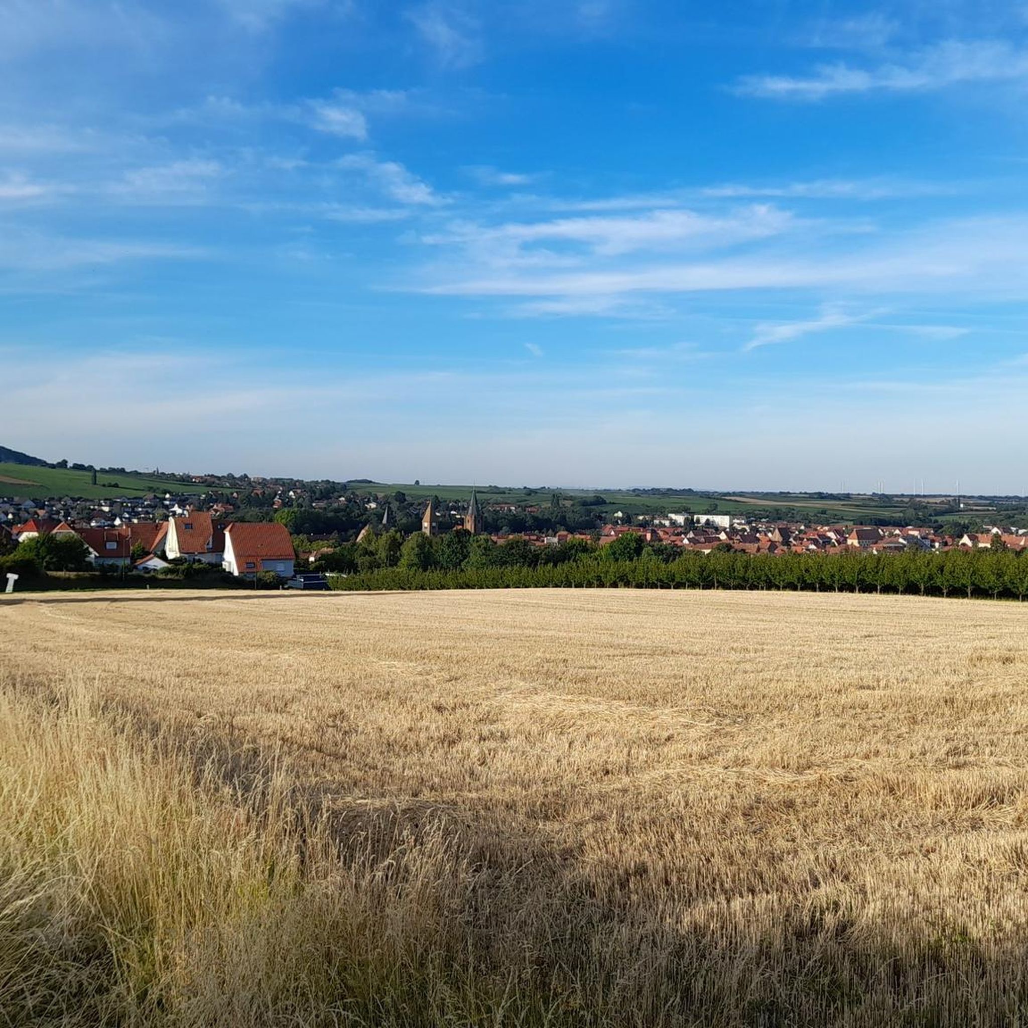
Hiking around Biblisheim takes you through the gentle landscapes of the Alsace region. You'll encounter rolling hills, agricultural fields, and sections of woodland. Many paths also follow riverine areas, such as the Sauer river, offering varied scenery.
Are there any circular hiking routes in Biblisheim?
Many of the trails around Biblisheim are designed as loops, allowing you to start and end at the same point. For instance, the The Sauer at Biblisheim – Playground loop from Biblisheim is a moderate 13.8 km circular path that follows the Sauer river.
What are some interesting landmarks or attractions to see along the hiking trails?
The region around Biblisheim features several points of interest. You might encounter historical sites like the Saint Arbogast's Hermitage and the Great Oak, or natural monuments such as the Soultzerkopf Hut. The View of Woerth – Elsasshausen Memorial Tower loop from Morsbronn-les-Bains specifically offers views of historical landmarks.
Is Biblisheim a good destination for dog-friendly hikes?
The rural and natural setting of Biblisheim generally makes it suitable for hiking with dogs. Many trails pass through woodlands and open fields, providing ample space. However, always ensure your dog is under control, especially near agricultural areas or wildlife, and check local regulations for specific routes.
What is the best time of year to go hiking in Biblisheim?
The best time to hike in Biblisheim is typically during spring, summer, and autumn. Spring brings blooming landscapes, while summer offers warm weather for longer excursions. Autumn provides beautiful foliage. Winters can be cold, but some trails may still be accessible for those prepared for colder conditions.
What do other hikers say about the trails in Biblisheim?
The hiking trails in Biblisheim are highly regarded by the komoot community, holding an average rating of 4.3 stars from over 400 reviews. Hikers often praise the varied terrain, the mix of open fields and forested sections, and the accessibility of routes for different fitness levels.
Are there any short, easy walks suitable for a quick outing?
Yes, for a shorter, easier walk, consider the Hiking loop from Morsbronn-les-Bains. This route is just under 4 km and can be completed in about an hour, offering a pleasant experience without significant effort.
How accessible are the hiking trails in Biblisheim by public transport?
While specific public transport access points for every trail are not detailed, larger towns nearby like Haguenau have train stations (Haguenau station). From such hubs, local buses or a short drive might be necessary to reach trailheads in Biblisheim. Planning ahead with local transport schedules is recommended.
Are there any trails that follow rivers or offer waterside views?
Yes, the region features riverine paths. The The Sauer at Biblisheim – Playground loop from Biblisheim is a notable example, as it follows the Sauer river, providing pleasant waterside scenery.
Most popular routes around Biblisheim
Most popular attractions around Biblisheim

Get inspired with the komoot mobile app


Explore more
Browse the best Hikes in other regions.
