The best walks and hikes around Gunstett
4.3
(1192)
5,856
hikers
220
hikes
Hiking around Gunstett offers access to the diverse landscapes of the Alsace Verte region, characterized by extensive forests, river areas, and varied terrain. The area is part of the Northern Vosges Regional Natural Park, featuring marked paths that reveal ancient vestiges and unique pink sandstone rock formations. Hikers can explore paths through dense woodlands, such as the Heuscheuer forest, and along rivers like the Sauer, providing opportunities to discover diverse ecosystems.
Best hiking trails around Gunstett
- The most popular hiking…
Last updated: October 9, 2026
4.0
(10)
27
hikers
11.5km
03:02
110m
110m
Moderate hike. Good fitness required. Easily-accessible paths. Suitable for all skill levels.
4.0
(10)
23
hikers
Moderate hike. Good fitness required. Easily-accessible paths. Suitable for all skill levels.

5.0
(1)
20
hikers
7.86km
02:07
100m
100m
Moderate hike. Good fitness required. Easily-accessible paths. Suitable for all skill levels.
4.5
(4)
14
hikers
13.8km
03:33
70m
70m
Moderate hike. Good fitness required. Easily-accessible paths. Suitable for all skill levels.
18
hikers
6.26km
01:36
20m
20m
Easy hike. Great for any fitness level. Easily-accessible paths. Suitable for all skill levels.
Get access to more routes and recommendations from other explorers.
Already have an account?
Our route recommendations are based on thousands of hikes, rides, and runs completed by other people on komoot.
Start today with a free account
Your next adventure awaits.

Tips from the Community

Lion eats eagle on a spit. On the pedestal, plaques were obviously removed.
1
0

Located on the Route de Wörth. Memories of August 8, 1870.
0
0

Well worth seeing, two imposing oak trees enclose the monument.
0
0
Woerth still has many historic buildings worth seeing.
0
0
A very impressive lion in the landscape
1
0
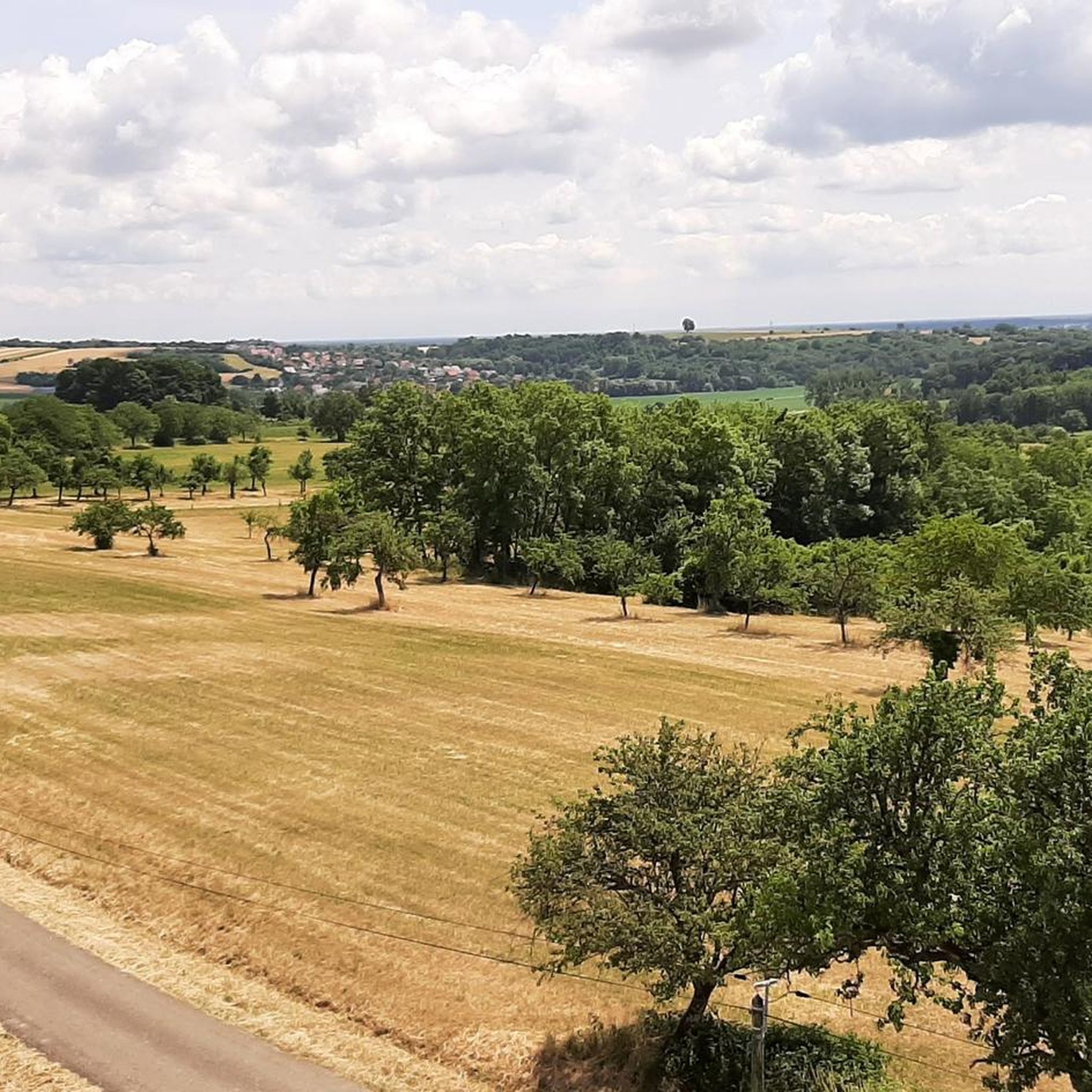
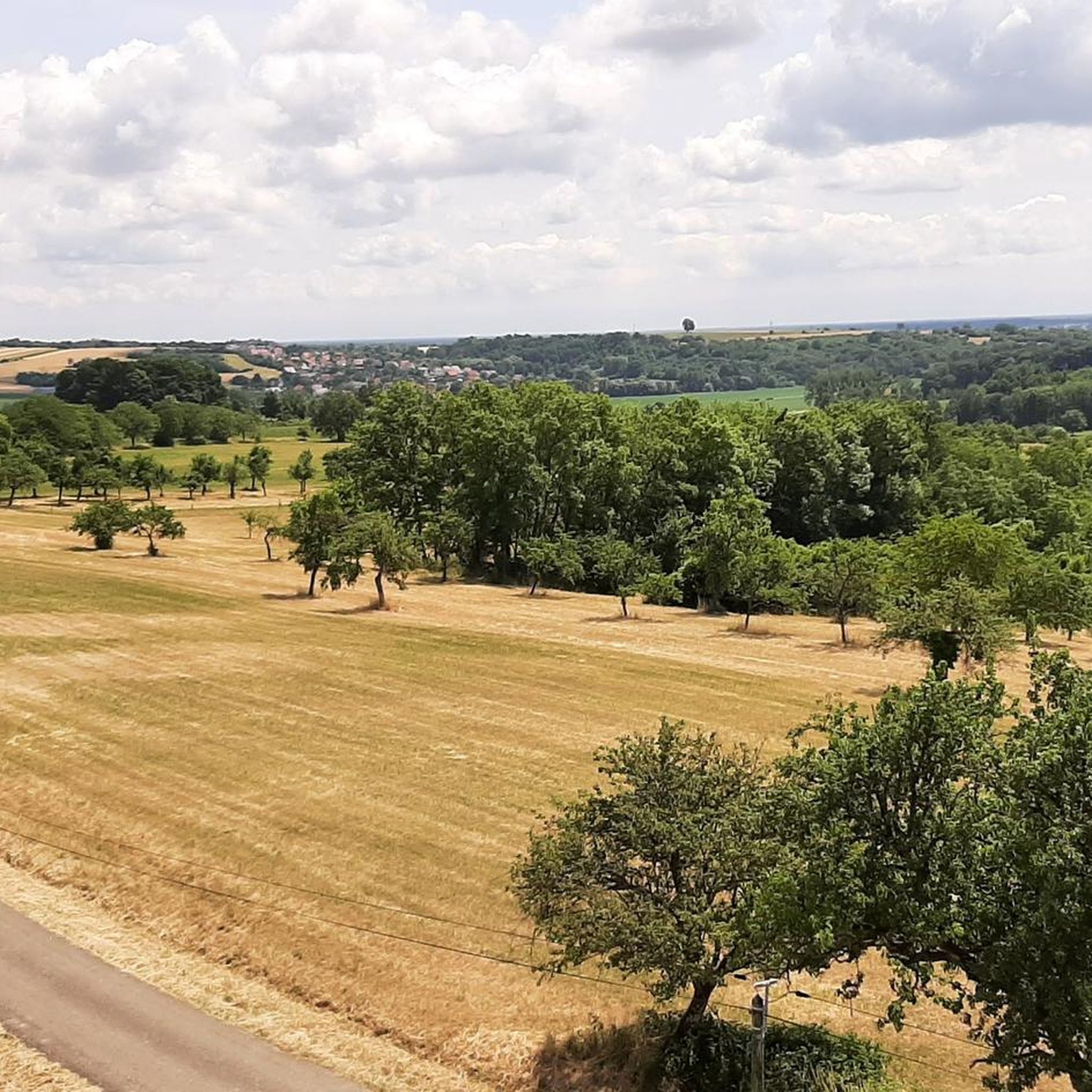
Great view, interesting architecture.
1
0
Frequently Asked Questions
How many hiking trails are available around Gunstett?
Gunstett offers a wide variety of hiking experiences with nearly 200 routes available. These trails cater to different preferences, ranging from easy strolls to more challenging ascents through the diverse landscapes of the Alsace Verte region.
What are the typical difficulty levels of hikes in Gunstett?
The trails around Gunstett cater to all skill levels. You'll find approximately 75 easy routes, ideal for leisurely walks, alongside about 110 moderate trails for those seeking a bit more challenge. For experienced hikers, there are also around 13 difficult routes available.
What kind of landscapes can I expect to see while hiking near Gunstett?
Hiking near Gunstett immerses you in the rich and varied landscapes of the Alsace Verte region. You'll encounter extensive forests, such as the Heuscheuer forest, and trails along rivers like the Sauer. The area is also known for its unique pink sandstone rock formations, ancient vestiges, and diverse ecosystems including reed beds and backwaters of the Rhine.
Are there any scenic viewpoints or landmarks to discover on the trails?
Yes, the region offers several notable points of interest. You can visit the Soultzerkopf Hut for outstanding panoramic views of the Rhine plain and the Black Forest. Another historical landmark is the Saint Arbogast Chapel - Gros Chêne Inn, set amidst forest paths where Saint Arbogast is traditionally said to have lived.
Are there any family-friendly hiking options in Gunstett?
Many of the easy and moderate trails around Gunstett are suitable for families. The region's well-maintained and marked paths, often through forests and along rivers, provide pleasant and accessible environments for all ages. The The Sauer at Biblisheim – Playground loop from Biblisheim is a moderate option that includes a playground, making it a good choice for families.
Can I bring my dog on the hiking trails around Gunstett?
Generally, dogs are welcome on most hiking trails in the Gunstett area, especially those through forests and open natural spaces. However, it's always recommended to keep your dog on a leash, particularly in protected areas or near wildlife, and to respect local signage regarding pet regulations.
What do other hikers say about the trails in Gunstett?
The hiking routes in Gunstett are highly regarded by the komoot community, holding an average rating of 4.3 stars from over 900 reviews. Hikers often praise the diverse terrain, the well-marked paths, and the opportunity to explore both historical sites and natural beauty, such as the dense woodlands and river plains.
Are there any circular hiking routes available?
Yes, many of the trails around Gunstett are designed as circular routes, offering convenient starting and ending points. For example, the popular View of Woerth – Elsasshausen Memorial Tower loop from Morsbronn-les-Bains is a 11.9 km circular trail that provides scenic views and historical points of interest.
What is the best time of year to go hiking in Gunstett?
The Alsace Verte region, including Gunstett, is beautiful for hiking throughout much of the year. Spring and autumn offer pleasant temperatures and vibrant scenery, with spring bringing blooming orchards and autumn showcasing colorful foliage. Summer is also popular, though some trails might be more exposed to the sun. Winter hiking is possible, especially on lower elevation trails, but conditions can vary.
Are there any challenging hikes for experienced trekkers?
Yes, for those seeking a more strenuous experience, the region offers trails with significant ascents. For instance, the Pfaffenschlick Pass from Lembach presents a 5 km ascent with an average gradient of 4.3% and maximum gradients reaching 12.7%, appealing to hikers looking for a good climb.
Where can I find information about public transport or parking for trailheads?
While specific public transport routes to every trailhead can vary, many villages and towns in the Alsace Verte region are accessible by local bus services. Parking is generally available near popular trailheads and village centers. For detailed information on public transport schedules and parking facilities for specific routes, it's best to consult local tourist information centers or transport websites for the Alsace Verte region.
Are there any themed or interpretive trails in the area?
The wider region around Gunstett features various themed trails, including interpretive paths in forests and botanical routes. These trails are designed to provide educational insights into the local geology, flora, and fauna, enhancing the hiking experience with information about the natural and cultural heritage of the Northern Vosges Regional Natural Park.
Most popular attractions around Gunstett

Get inspired with the komoot mobile app


Explore more
Browse the best Hikes in other regions.
